| Previous :: Next Topic |
| Author |
Message |
Gimpilator
infinity/21M


Joined: 12 Oct 2006
Posts: 1684 | TRs | Pics
Location: Edmonds, WA |
Stawamus Chief - June 24
Heather and I got a later start than we had planned, however we figured out during the drive that we actually had 4 days for our trip instead of 3.  I still don't know how we overlooked a day in our planning.
We stopped in Squamish to hike up all 3 peaks of The Chief which makes for a nice loop. I was amazed by how steep the beginning of the trail is. I've heard that the trail up Mount Harvey is the steepest in BC, but can't confirm that. I still don't know how we overlooked a day in our planning.
We stopped in Squamish to hike up all 3 peaks of The Chief which makes for a nice loop. I was amazed by how steep the beginning of the trail is. I've heard that the trail up Mount Harvey is the steepest in BC, but can't confirm that.
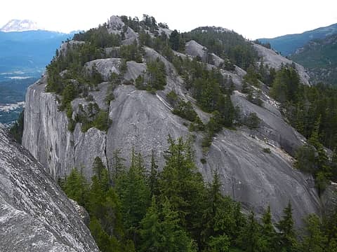 middle chief from first 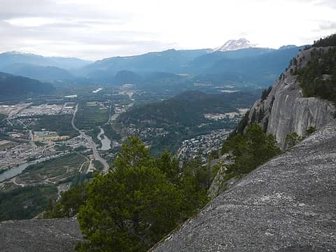 Squamish 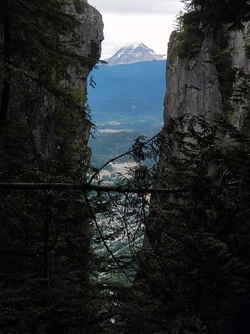 Garibaldi through a notch 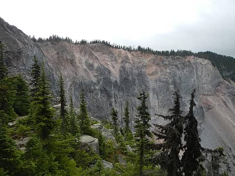 The Barrier 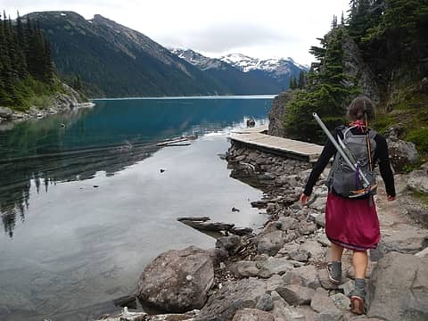 Garibaldi Lake 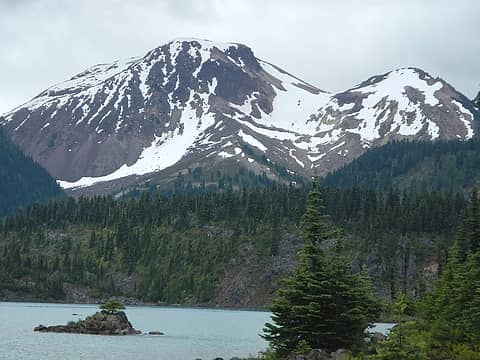 Price 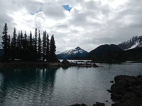 Guard 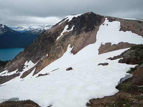 Price 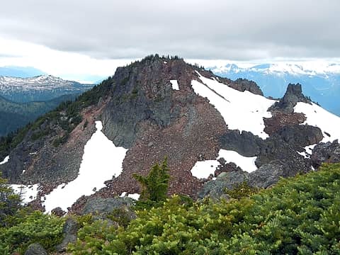 Clinker 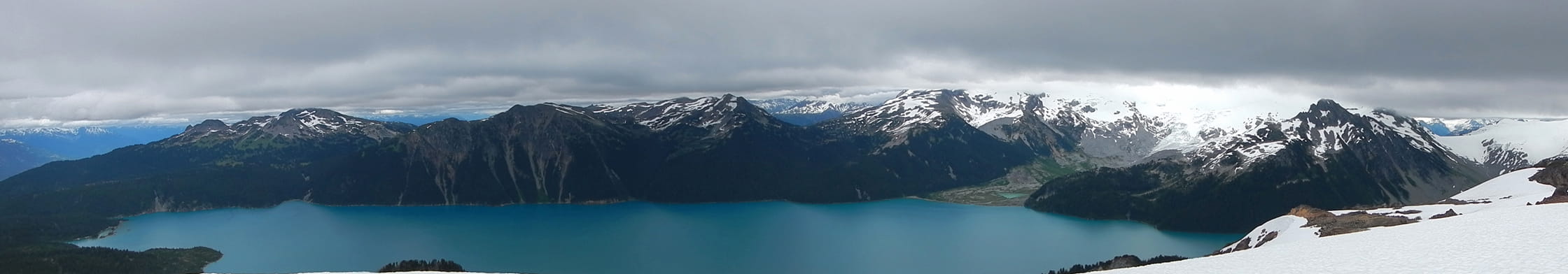 Garibaldi Lake 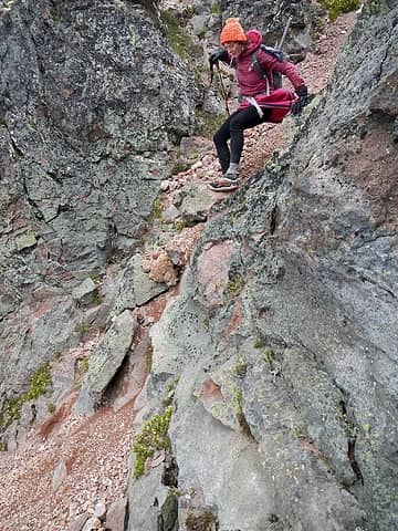 class 3 step 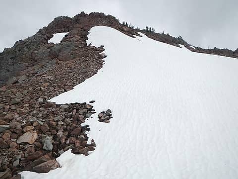 upper snow slope on Clinker 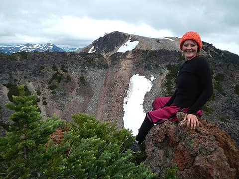 Clinker summit with Price behind 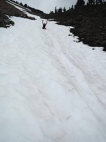 glissading 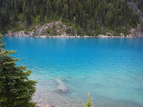 whoa blue 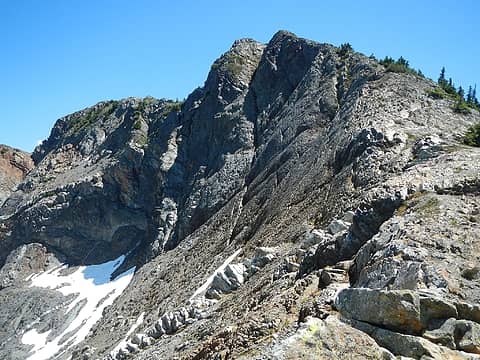 Brunswick from the notch 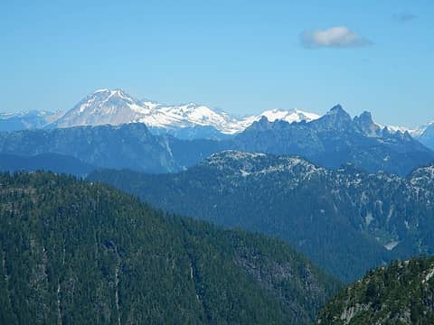 Garibaldi 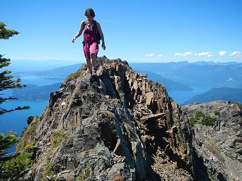 first narrow section 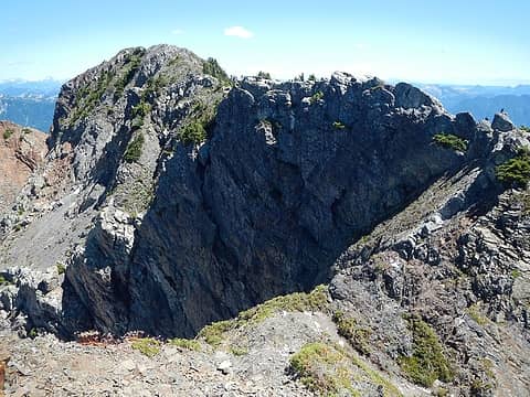 knife-edge ahead 
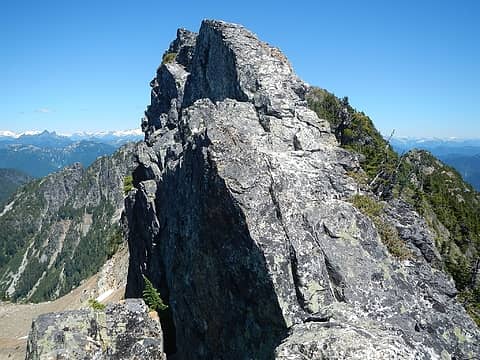 knife-edge 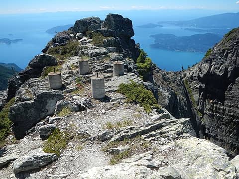 lookout remains 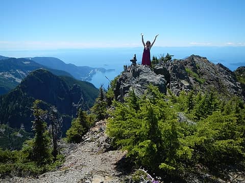 summit 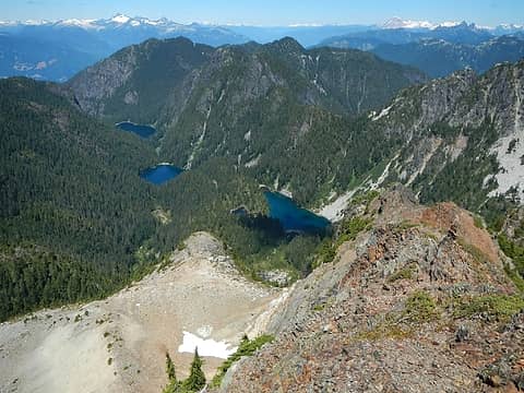 lakes below 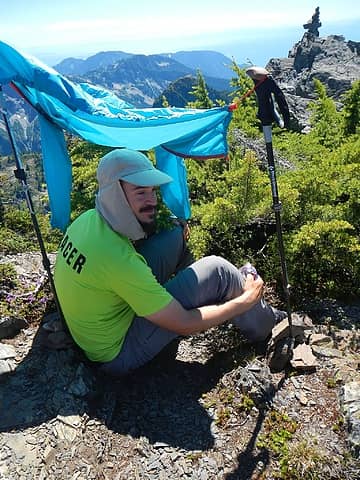 sun shelter 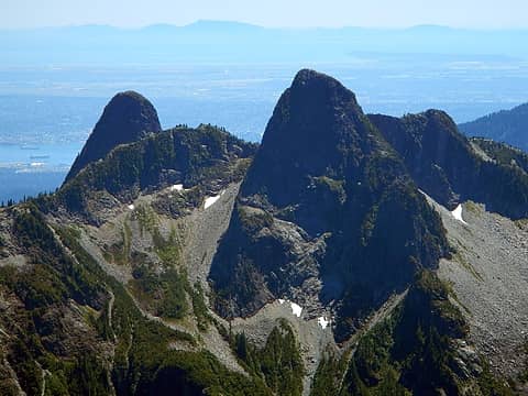 The Lions 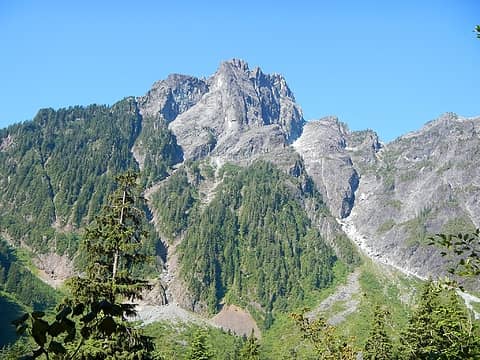 Edge Peak above 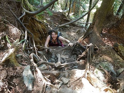 roots scramble 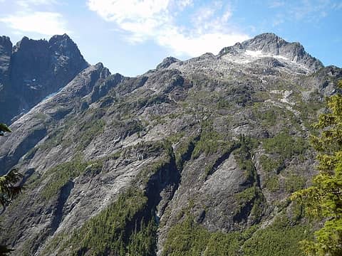 Edge and Golden Ears 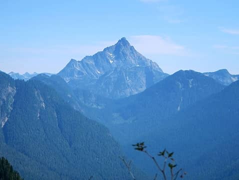 Judge Howay 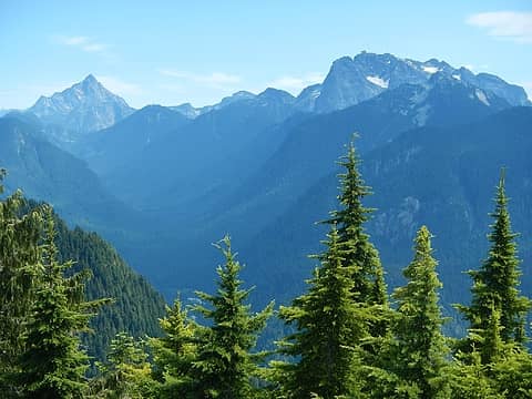 Howay and Robie Reid 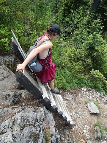 ladder  Pitt Lake 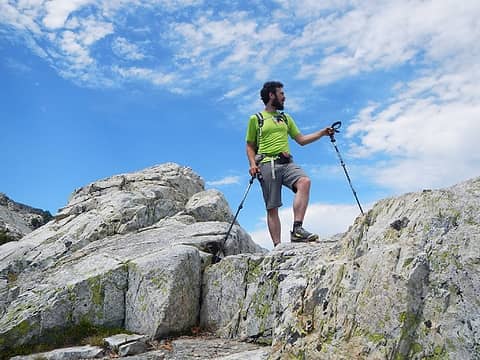 "give me your camera" 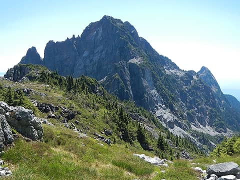 Edge 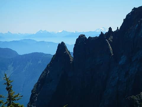 Tomyhoi, Shuksan, Baker 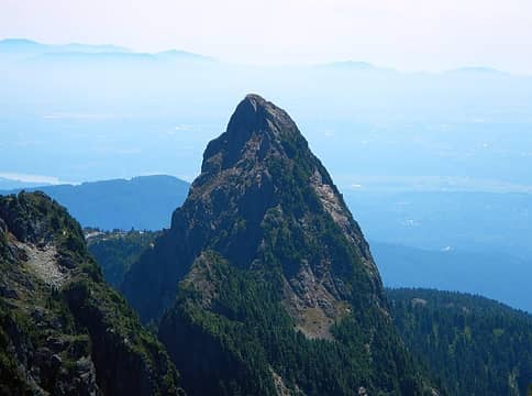 Blanshard Needle 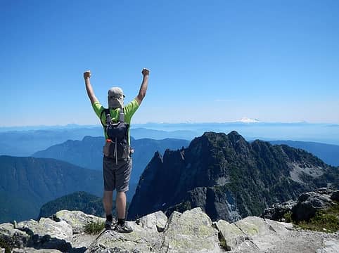 "give me your camera again" 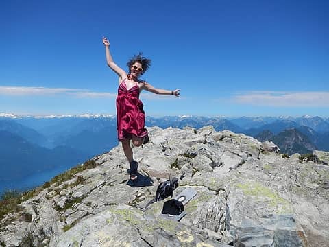 jumping 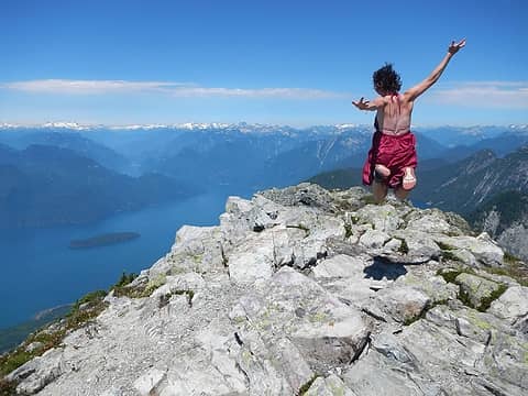 still jumping 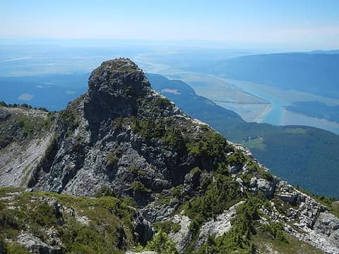 west ear 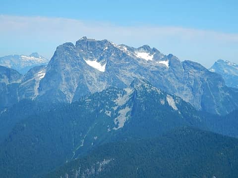 Robie Reid 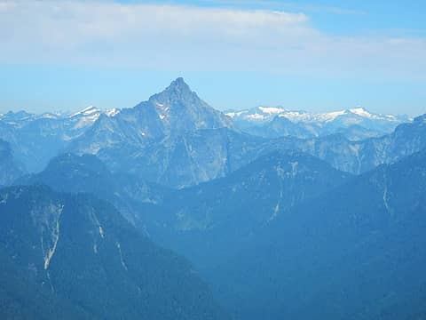 Judge Howay 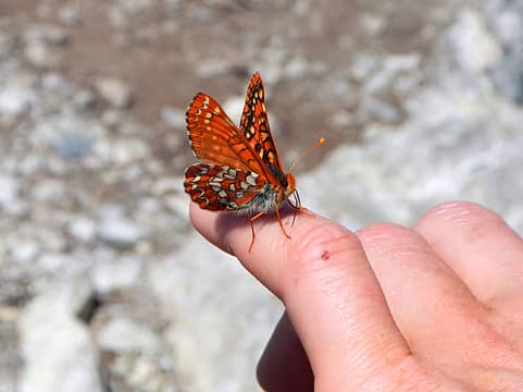 butterfly 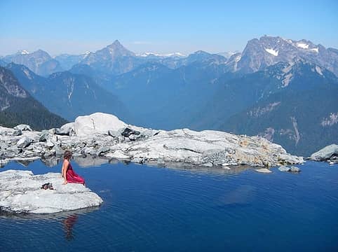 tranquility tarn 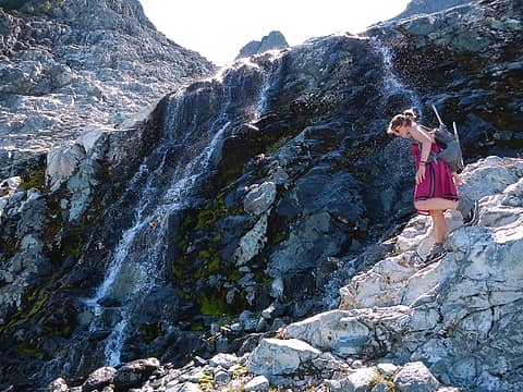 waterfalls
|
| Back to top |
  
|
|
Anish
Member

Joined: 07 Sep 2014
Posts: 79 | TRs | Pics
|
|
Anish
Member
|
 Mon Jun 29, 2015 3:20 pm |
|
|
What a great trip! Looking forward to many more climbs with you! 
"Our way is not soft grass. It's a mountain path with lots of rocks. But it goes upwards, forward, toward the sun." -Ruth Westheimer
"Our way is not soft grass. It's a mountain path with lots of rocks. But it goes upwards, forward, toward the sun." -Ruth Westheimer
|
| Back to top |
|
|
Redwic
Unlisted Free Agent

Joined: 23 Feb 2009
Posts: 3292 | TRs | Pics
Location: Going to the Prom(inence) |
|
Redwic
Unlisted Free Agent
|
Mon Jun 29, 2015 6:19 pm |
|
|
| Gimpilator wrote: | | When looking for new peaks, why should I spend 5 hours driving to the east side of the Cascades to scale choss piles in the smoke, if there are super high quality hikes just north of the border? |
Very true.
Thanks for sharing what looked to be a great experience.
60 pounds lighter but not 60 points brighter.
60 pounds lighter but not 60 points brighter.
|
| Back to top |
|
|
Magellan
Brutally Handsome

Joined: 26 Jul 2006
Posts: 13116 | TRs | Pics
Location: Inexorable descent |
|
Magellan
Brutally Handsome
|
Mon Jun 29, 2015 6:42 pm |
|
|
Looks like a super fun trip! 
|
| Back to top |
|
|
call-151
Member

Joined: 26 Jul 2006
Posts: 59 | TRs | Pics
Location: Vancouver, BC |
|
call-151
Member
|
Mon Jun 29, 2015 7:39 pm |
|
|
Quality trip report from my stomping grounds!
|
| Back to top |
|
|
|
|
You cannot post new topics in this forum
You cannot reply to topics in this forum
You cannot edit your posts in this forum
You cannot delete your posts in this forum
You cannot vote in polls in this forum
|
Disclosure: As an Amazon Associate NWHikers.net earns from qualifying purchases when you use our link(s). |


