| Previous :: Next Topic |
| Author |
Message |
Gimpilator
infinity/21M


Joined: 12 Oct 2006
Posts: 1684 | TRs | Pics
Location: Edmonds, WA |
Have you seen Part 1?
March 7
Mecca Hill BM (attempt) and Painted Canyon
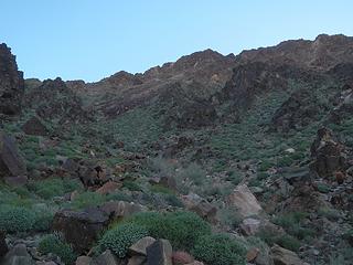
This was the first day of the trip that I felt the fatigue. The previous day had been in the neighborhood of 25 miles and 9k elevation. I decided to take it easy and started with explorations of Painted Canyon. This place was not on my radar until the day of. It was just a geologic feature I noticed in Google Maps and decided to check it out.
Right away on the drive in I was amazed. What an awesome place! There are numerous canyons to explore in this area it would take several days to see it all, but the 3 main branches from the end of the road parking area are what I started with. I found two main sets of narrows and ladders all over the place in the spots where dry falls would have blocked passage. Send me a PM if you want a map of where the best narrows are and I will create one for you.
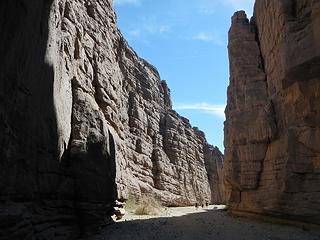 view full size to see people for scale 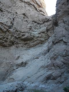 20 foot dryfall  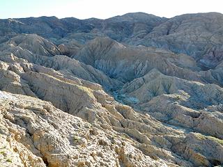 badlands 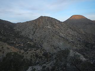 entering the gulch 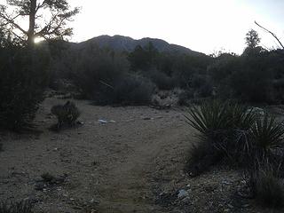 sandy flats and pinyon 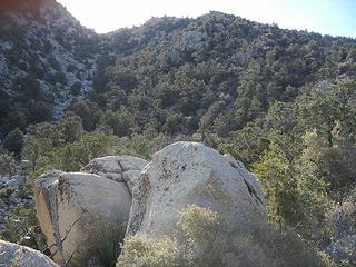 the northwest gully above 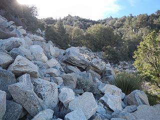 yuck 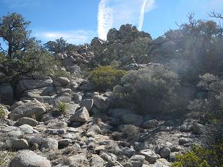 summit rocks visible 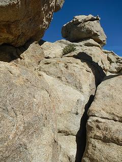 ledge around the corner 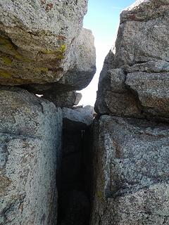 climbed this chimney right below the summit 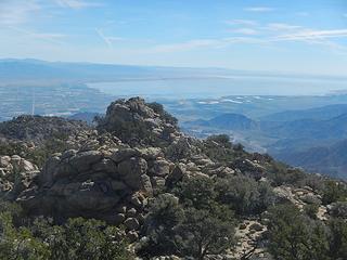 Salton Sea north shore 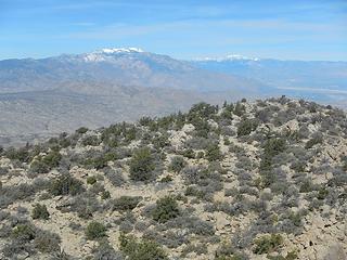 San Jacinto and San Gorgonio 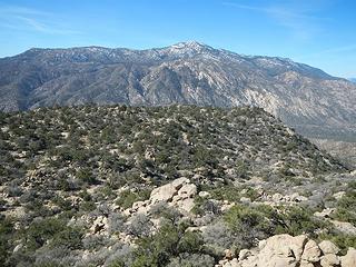 nearby Toro 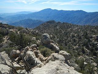 Rabbit  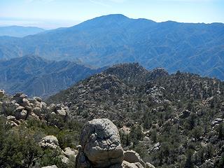 Rabbit close-up 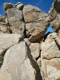 summit block scramble route follows shady ledge right of center around the back side for a chimney finish 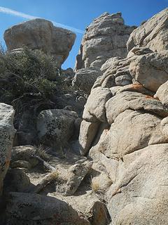 gully route up to the scramble 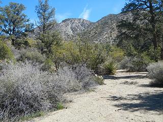 looking back at the peak 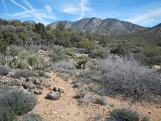 Martinez 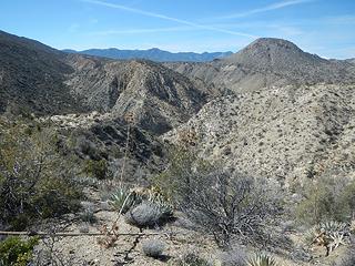 the gulch 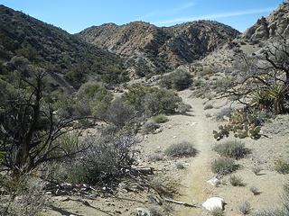 hiking out of the gulch  really?  Quail summit 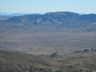 Ryan 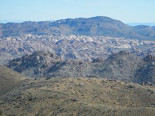 Little Berdoo 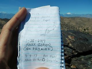 Ragman 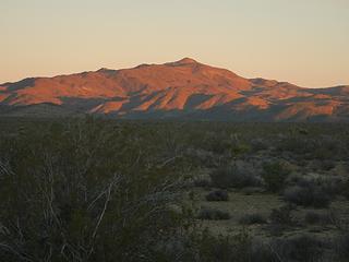 Monument alpenglow 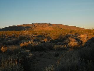 Cottonwood alpenglow 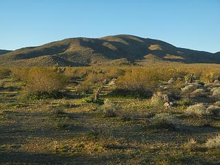 base of Cottonwood 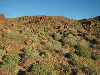 starting up Monument 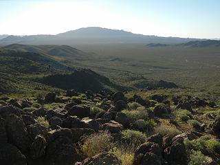 Eagle 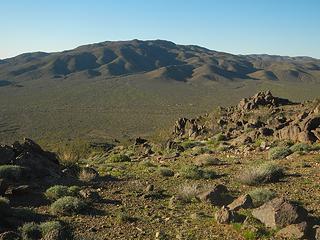 Cottonwood 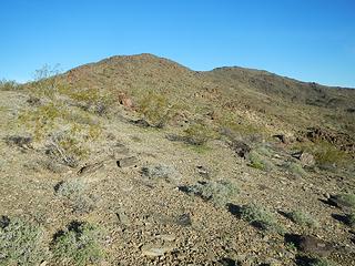 Monument south ridge 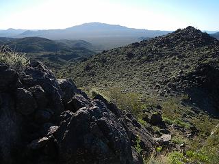 Eagle 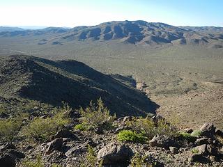 Cottonwood 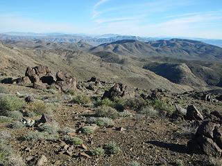 Pinto in the far distance 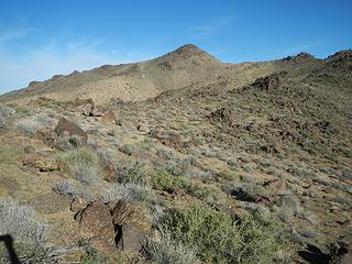 summit visible 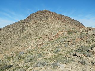 Monument summit 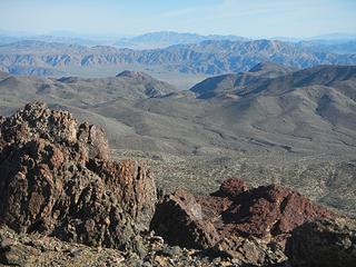 Pinto I think 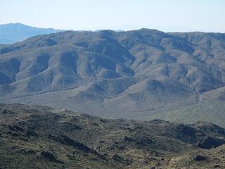 Cottonwood 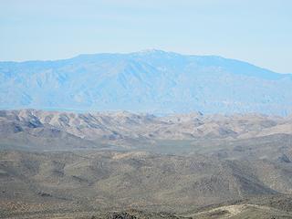 Toro 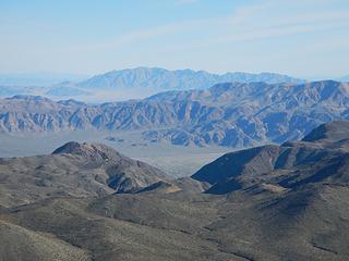 Pinto 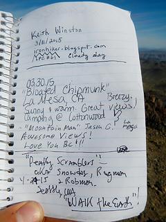 my buddy Keith plus Bloated Chipmunk, Snowdog, and Ragman and Rodman 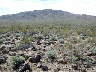 Cottonwood 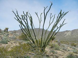 ocotillo 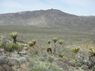 looking back at Monument 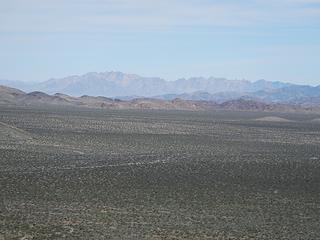 The Coxcomb Range 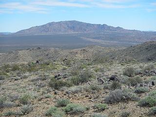 Eagle 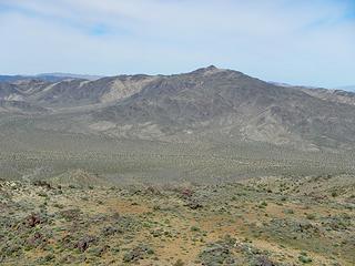 Monument 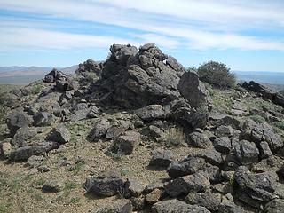 summit rocks 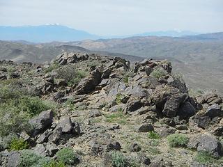 view west 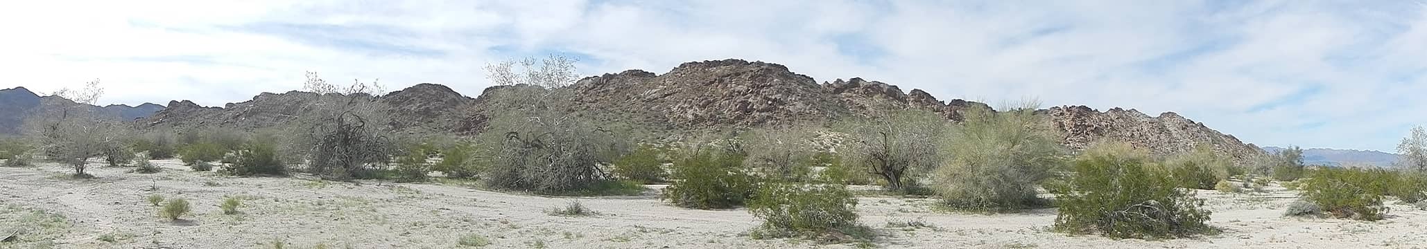 Alligator 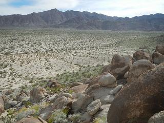 Chuckwalla Mountains to the south 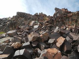 basalt 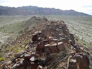 southwest ridge 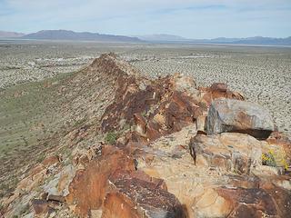 northeast ridge
|
| Back to top |
  
|
|
Gimpilator
infinity/21M
Joined: 12 Oct 2006
Posts: 1684 | TRs | Pics
Location: Edmonds, WA |
March 11
Palen Mountains High Point
For a few years Ive been trying to figure out how to do Granite and Palen. Theyre deep in an area without any good access, unless you own a jeep or a truck. Many desert peaks are as such and you must be prepared to do a lot of road walking if all you own is a car. A buddy of mine tried to get to Granite once with 2WD and was stuck for nearly 48 hours until a friend from San Diego drove out to help extricate him.
Fortunately for me, Ive got some pretty cool friends. Before I left for this trip I sent out an email to my local peakbagging buddies and a number of people were happy to join me for the various weekends of the trip. Some of them were even willing to bring their trucks along.
Greg K was my first hiking partner on this trip. We met in Blythe Friday evening and I left my car there. We drove the Arlington Mine Road which was in really great condition until the last 3 miles after which it was all small boulders and large round stones. My car wouldnt have made it. We camped at 1350 feet on the edge of the main wash south of the peak. It was wonderful to have a good friend to talk to and hang out with.
To avoid the heat we started in the dark the next morning. Greg spotted a very plump toad. I wonder if it was pregnant and full of eggs. We decided to ascend the southwest draw and descend the southeast gully. In the predawn light I could tell that this range possesses grandeur uncommon among the other desert ranges. There were steep walls and rugged slopes and craggy ridges all around us! I told Greg this was the best peak of the trip so far and I was glad he was with me to experience it.
 southwest draw 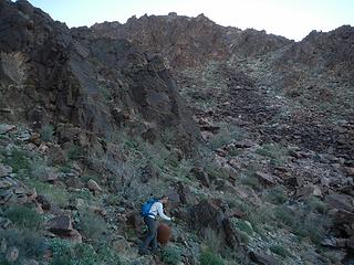 working up to the ridge 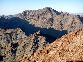 Point 992m 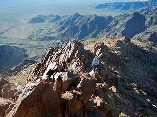 along the ridge south of the peak 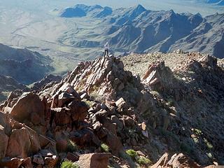 stoked! 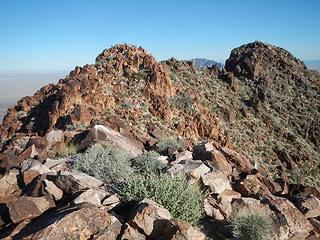 2nd false summit and true summit 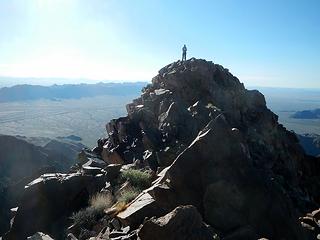 Greg on the first false summit 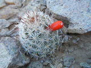 tiny cactus with fruit 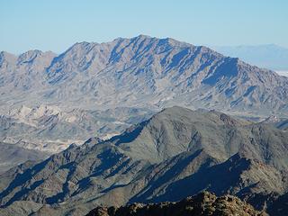 Granite to the north 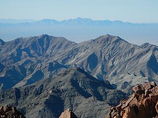 Chuckwalla Mountain 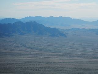 Big Maria 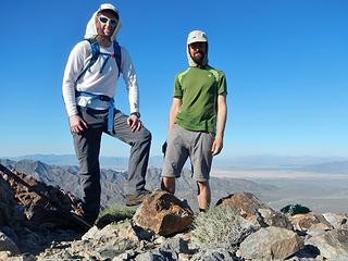 Palen summit 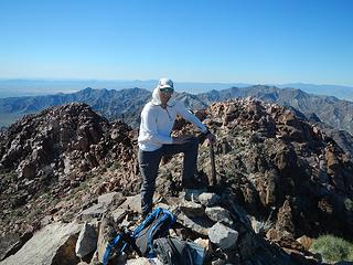 Greg 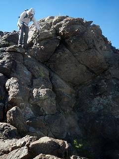 down the north side 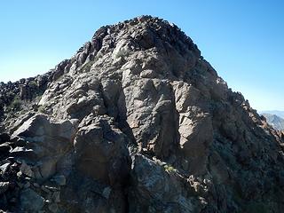 looking back at Palen summit 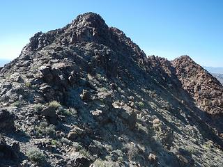 what a peak! 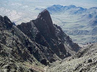 sentinel tower guarding the southeast gully 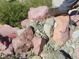 famous pink boulders 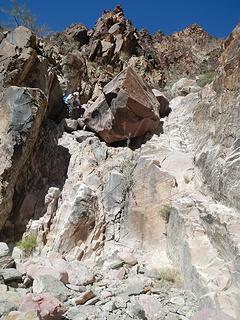 Greg above a minor dryfall 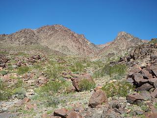 Palen 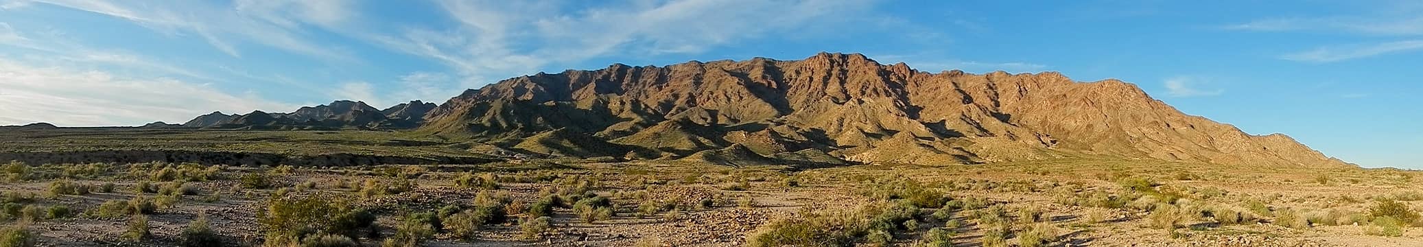 Granite Mountains 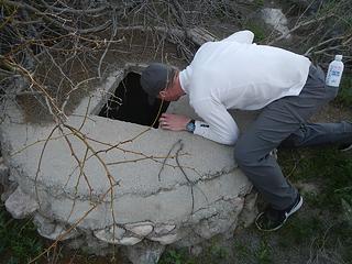 Packard Well  no thanks 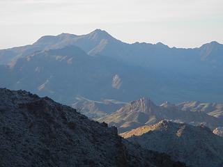 Palen to the south 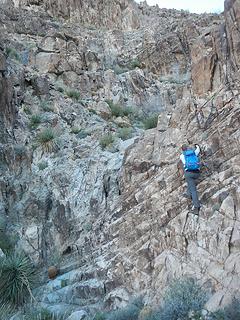 dryfall 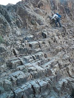 be careful Greg 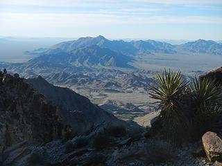 Palen Mountains 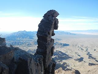 monolith boulder 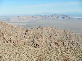 Iron Mountains 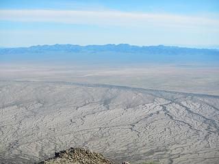 Turtle Mountains 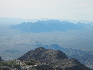 McCoy Mountains 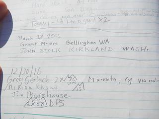 John Stolk and Grant Meyers! 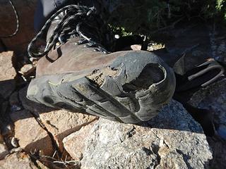 gear failure 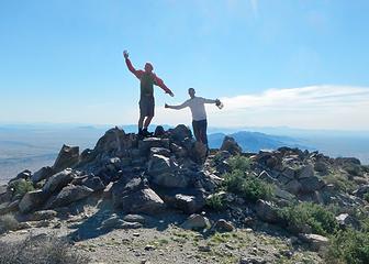 Granite summit 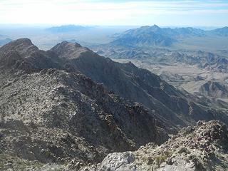 view south 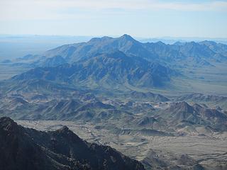 Palen 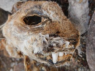 bobcat 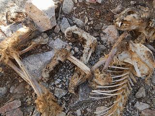 it was eaten 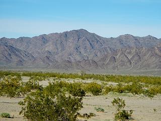 McCoy Mountains 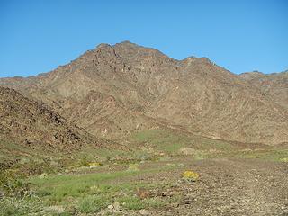 driving closer 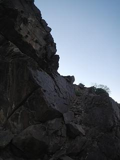 ledge 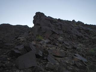 prow 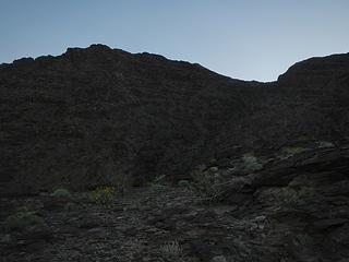 traverse to this saddle 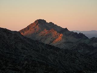 shorter McCoy Peak to the south 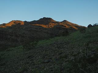 here comes the sun 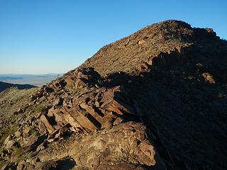 looking back at a bump I traversed around 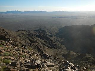 view east 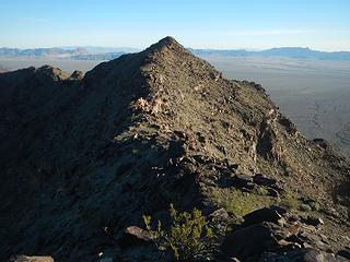 summit visible 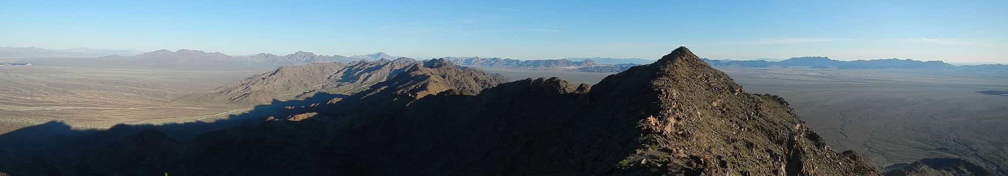 north 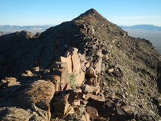 knife-edge ahead 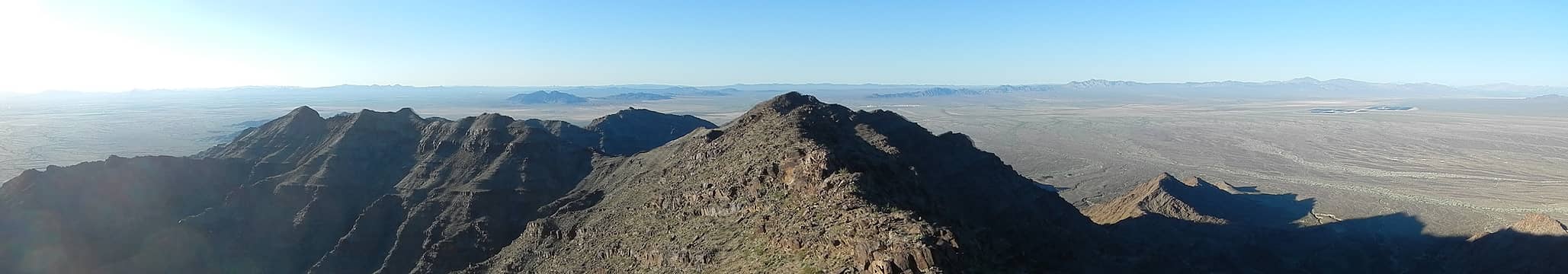 south 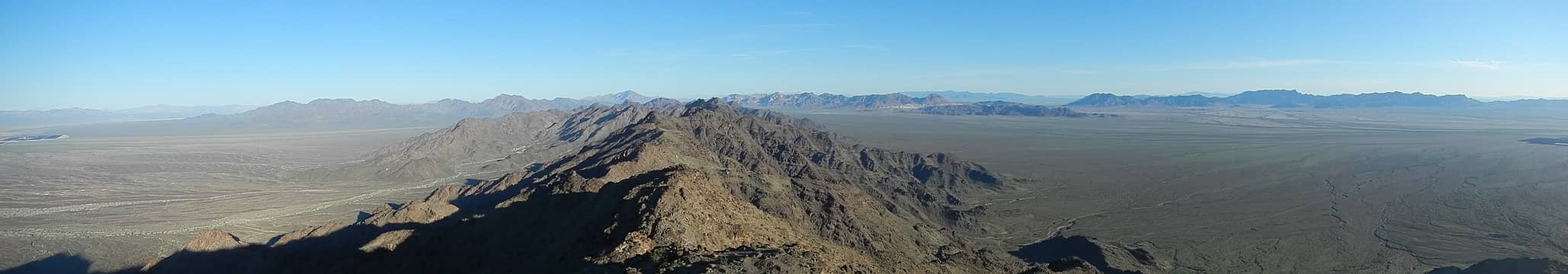 summit view north 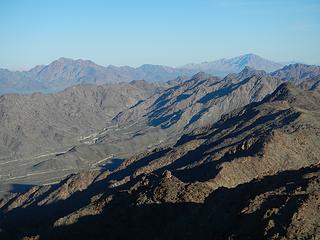 Palen and Granite 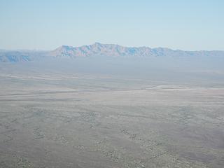 Chuckwalla 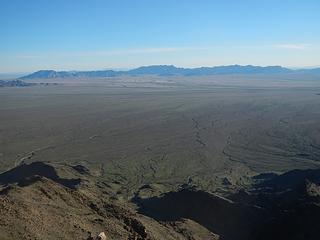 Big Maria Mountains 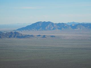 West Maria Benchmark 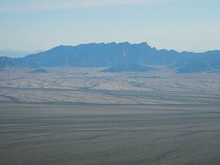 Big Maria 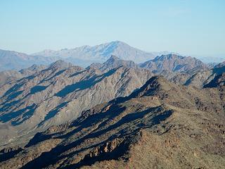 Granite 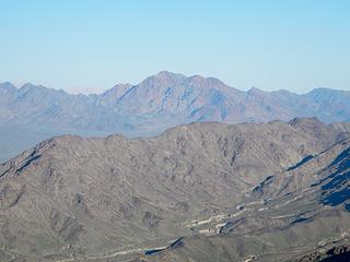 Palen 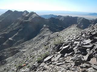 heading back 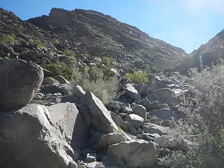 the ridge I ascended in the dark from the wash 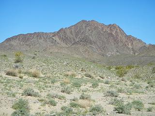 Mule 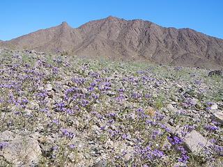 a lower peak southeast of the main peak 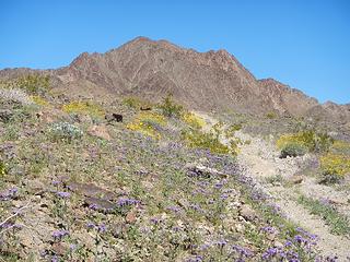 flowers on Mule 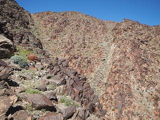 the southeast gully which I used for the descent 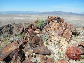 summit 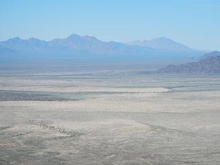 Palen and Granite 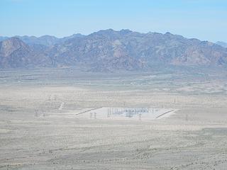 McCoy 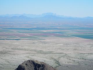 Kofa range over in Arizona 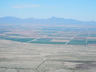 Mojave Peak 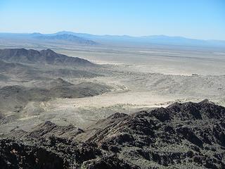 Chuckwalla and Black Butte 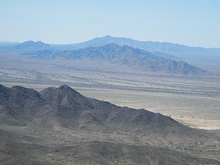 Chuckwalla Mountain to the west 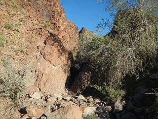 start here 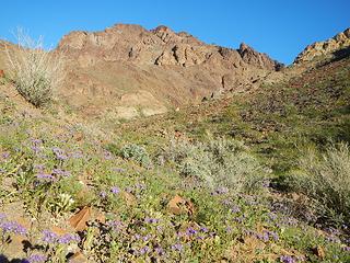 Palo Verde west face 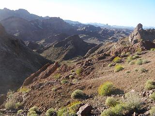 rugged country 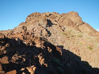 looking north from the first gap 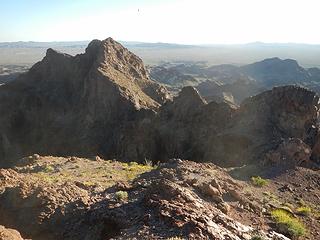 looking back at the first gap 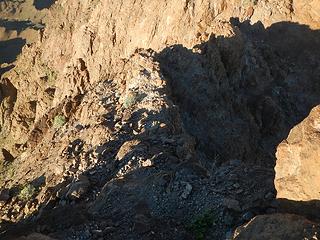 heading down to a second gap 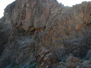 looking back at the cave and diagonal ledge system 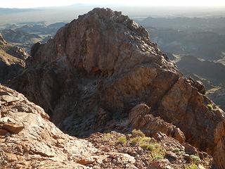 looking back from steep loose ramp 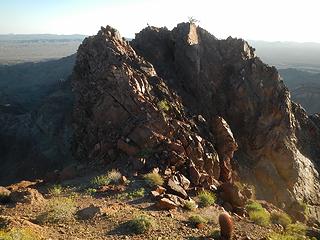 looking back at final false summit from near the summit 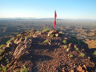 summit flag 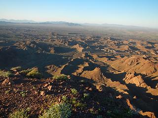 view north 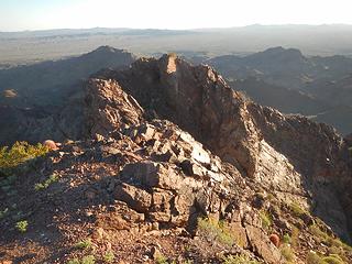 view south 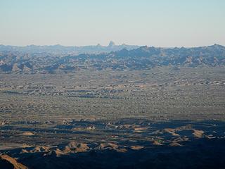 Picacho Peak down by Yuma 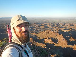 3 peaks and satisfied 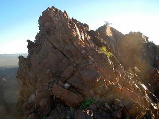 going back to the knife-edge 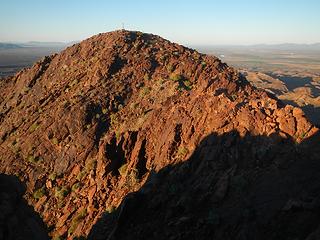 summit seen from false summit 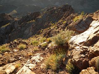 back down the steep loose ramp 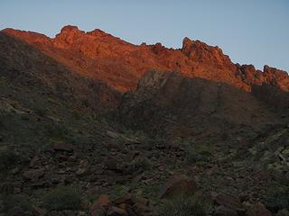 last light on the peak 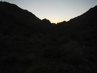 hike out
|
| Back to top |
|
|
Stefan
Member

Joined: 17 Dec 2001
Posts: 5091 | TRs | Pics
|
|
Stefan
Member
|
 Wed Apr 19, 2017 3:53 pm |
|
|
you got yourself a peakbaggin time!
|
| Back to top |
|
|
Gimpilator
infinity/21M
Joined: 12 Oct 2006
Posts: 1684 | TRs | Pics
Location: Edmonds, WA |
Yes sir, indeed. 
|
| Back to top |
|
|
tekewin
Member

Joined: 06 Jul 2014
Posts: 15 | TRs | Pics
|
|
tekewin
Member
|
Sun Jul 09, 2017 6:52 pm |
|
|
I read through this report once when you posted it, but came back to look at some of these peaks more closely. DPS summits are no joke.
Martinez looks really interesting.
Meca Hills is attractive, only because it is rarely climbed. A quick look at google earth didn't make any route look straightforward. I still haven't been out to ladder canyon.
Your trip to Monument Mountain is Joshua Tree brought back memories. I'll probably cross Quail off my to do list based on your report. Thanks for posting all this beta!
|
| Back to top |
|
|
tekewin
Member
Joined: 06 Jul 2014
Posts: 15 | TRs | Pics
|
|
tekewin
Member
|
Sun Apr 11, 2021 10:27 am |
|
|
Four years later, I finally made it to Martinez. I am aiming to get maybe 1/10 of your summits some day, haha. My friend Henry went with me and we did Martinez and nearby Sheep Mountain together. On Martinez, we went up the ridge route and came down the gully. The ridge route was easier. Sheep was a couple of miles cross country from the bottom of the gully. I thought the Martinez summit block was fun. Solid class 3 with a little exposure on the ramp to the final chimney move.
On the way back we walked up on a cougar resting under a tree. It was late afternoon and warm. It bolted directly away from us at high speed. If it had attacked, we would not have had time to react. Surreal moment. We also me a red diamond rattlesnake so this hike had everything.
|
| Back to top |
|
|
|
|
You cannot post new topics in this forum
You cannot reply to topics in this forum
You cannot edit your posts in this forum
You cannot delete your posts in this forum
You cannot vote in polls in this forum
|
Disclosure: As an Amazon Associate NWHikers.net earns from qualifying purchases when you use our link(s). |


