| Previous :: Next Topic |
| Author |
Message |
ree
Member


Joined: 29 Jun 2004
Posts: 4399 | TRs | Pics
|
|
ree
Member
|
 Tue Nov 21, 2017 9:16 am |
|
|
Our plan was to spend three nights in Butte Valley, a high valley about 7 miles long, and about 6,000 elevation in the Panamints. Steve was dubious about spending so much time there, but we filled up the time plenty. The place has lots of early native and mining history, and theres a ton of hiking opportunity.
We drove the pioneers trail (not the short route) from Vegas to Furnace Creek, CA in the heart of Death Valley.
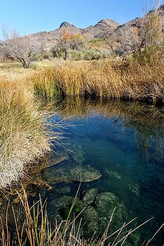 stop at gorgeous Ash Meadows 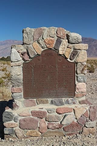 the only marker in CA, moved to its correct location, thanks to the scholarly work of my new besties, the Johnsons.  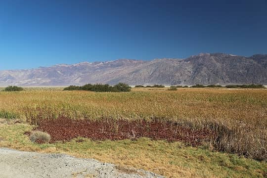 valley view 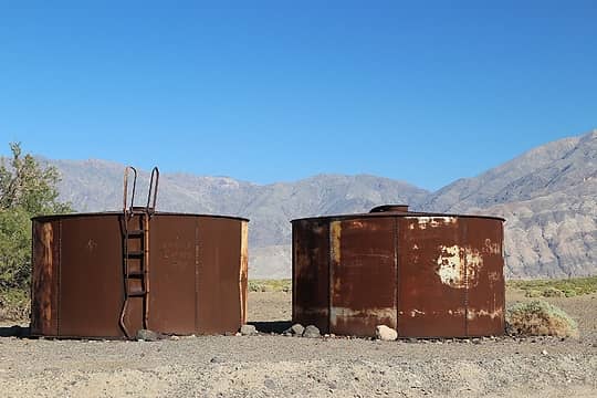 old well tanks 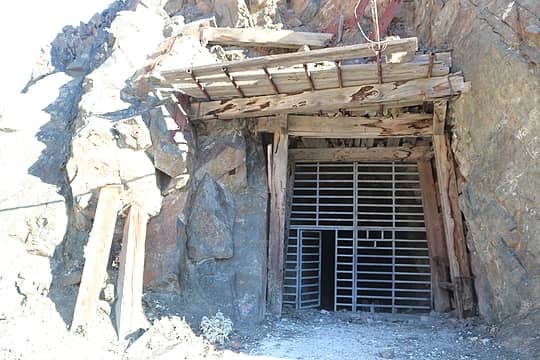 it goes back quite a ways 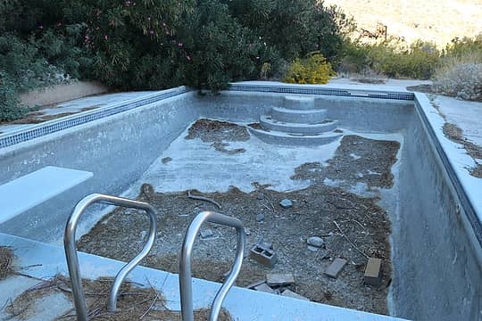 the empty swimming pool 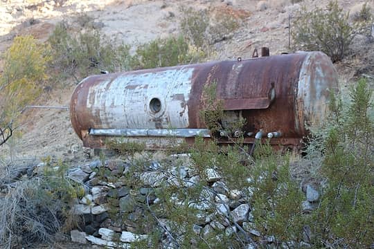 gas or water tank 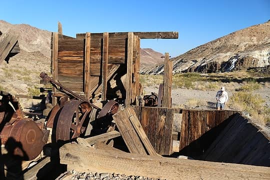 old arrastre 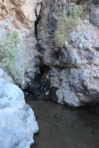 Warm Springs 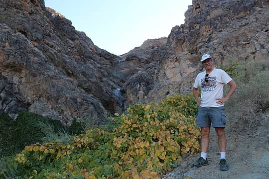 near the springs 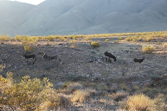 wild burros 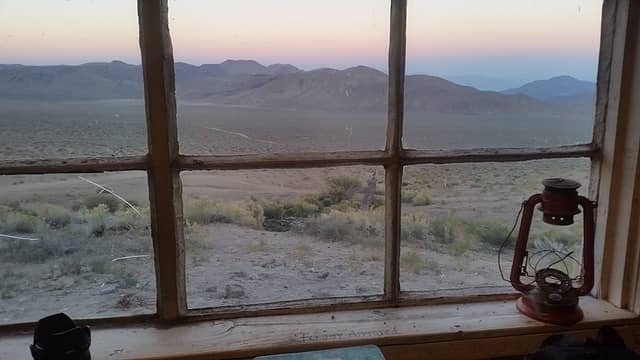 sunset from the Geologists Cabin. 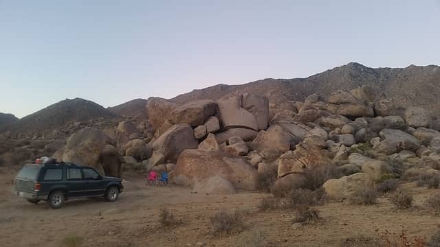 camp 1 in Butte Valley 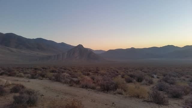 Butte Valley sunrise  Redlands Canyon 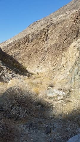 Redlands Canyon 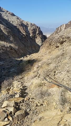 Redlands Canyon 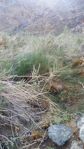 shrubs at the springs 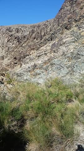 Redlands Springs 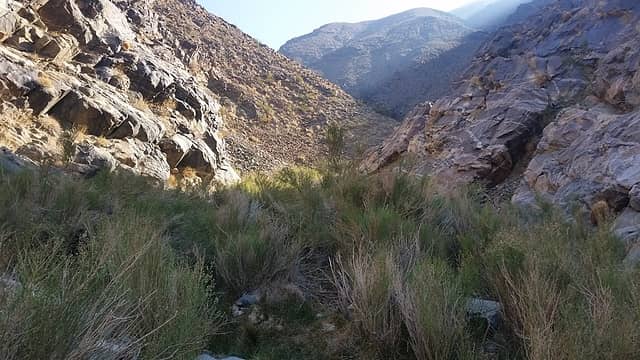 brush at springs chokes canyon 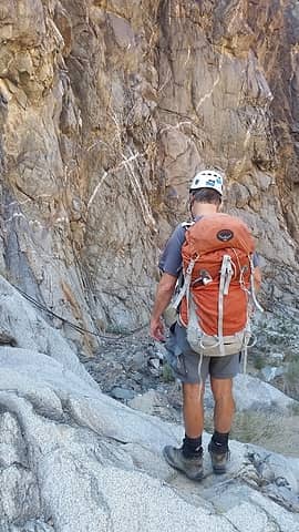 looking down dry fall 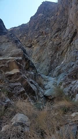 Ox Jump Falls 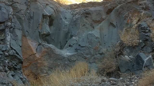 dry falls 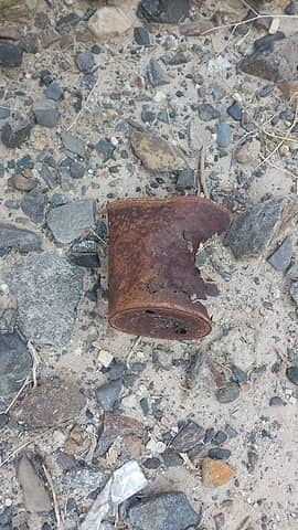 trash or treasure? 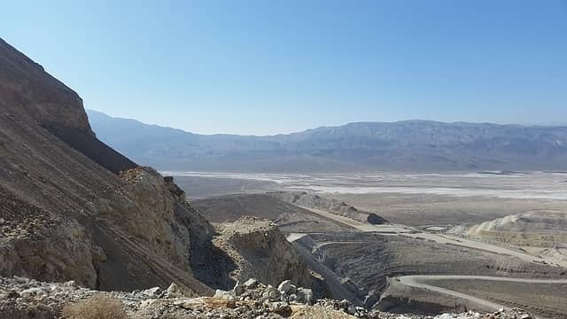 Panamint Valley 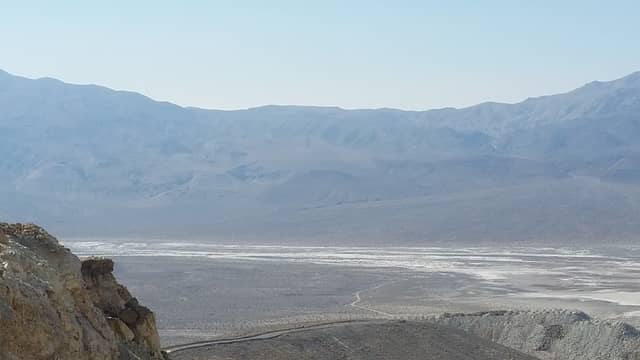 looking across Panamint Valley to Slate Range 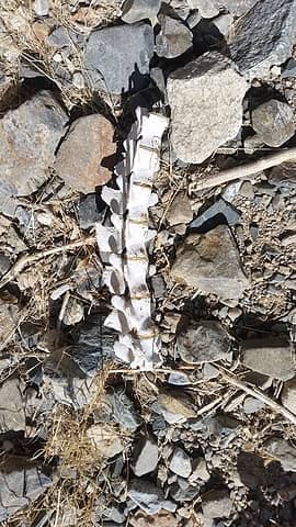 old bones 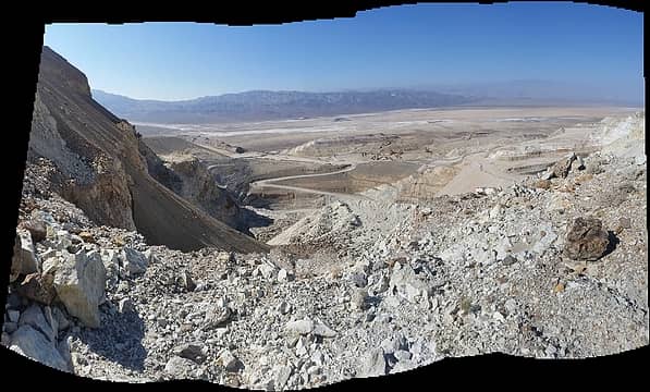 South Homestake Mine 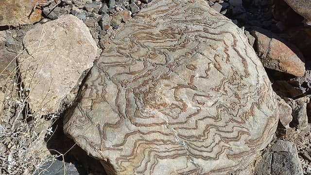 cool boulder 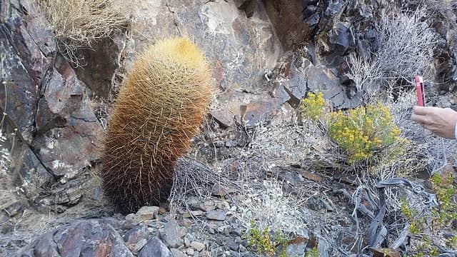 some nice cactus
|
| Back to top |
  
|
|
Gimpilator
infinity/21M

Joined: 12 Oct 2006
Posts: 1684 | TRs | Pics
Location: Edmonds, WA |
And so we cross paths again. I don't know what your dates were, but I was recently climbing peaks in the Panamint Range, looking down into Butte Valley.
You explored many things there, which I did not see. Makes me want to go back. That plus Mormon Peak.
Ever been to Saline Valley? I just went there intending for a day, but ended up staying a week.
|
| Back to top |
|
|
ree
Member
Joined: 29 Jun 2004
Posts: 4399 | TRs | Pics
|
|
ree
Member
|
Fri Nov 24, 2017 12:10 pm |
|
|
Hey Gimpster... I have NOT been to Saline Valley, but I have heard tons about it. Sounds real nice. Especially the springs there...
Mormon Peak was fantastic. I wrote another trip report about it. We did another night in Butte Valley (3 total.)
We didn't do Manly Peak, but we wanted to. We had a specific agenda this time.
I still want to do Tin Mtn in the north, but will have to save for another trip.
 If you and Heather want to do a key swap hike in the Panamints sometime, we should set that up.
|
| Back to top |
|
|
|
|
You cannot post new topics in this forum
You cannot reply to topics in this forum
You cannot edit your posts in this forum
You cannot delete your posts in this forum
You cannot vote in polls in this forum
|
Disclosure: As an Amazon Associate NWHikers.net earns from qualifying purchases when you use our link(s). |


