| Previous :: Next Topic |
| Author |
Message |
Gimpilator
infinity/21M


Joined: 12 Oct 2006
Posts: 1684 | TRs | Pics
Location: Edmonds, WA |
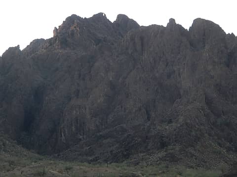
Matt Below came to climb some of the harder peaks in the desert with me. Not everything we did was an actual tower because some of them were fin shaped or just cliffy in general.
1-11
Booth's Pinnacle
We started off in the north shore Lake Mead neighborhood, an area we are both very fond of. From many angles, Booth's looks pretty sharp and somewhat intimidating. We drove the boathouse cove road which has gotten worse since the last time I was there.
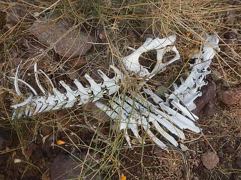 bones 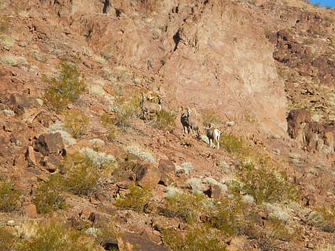 rams 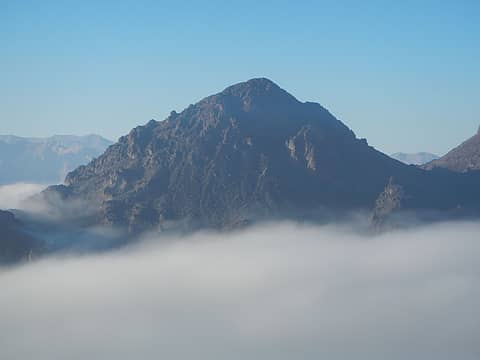 Booth's Pinnacle 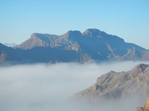 Pyramid 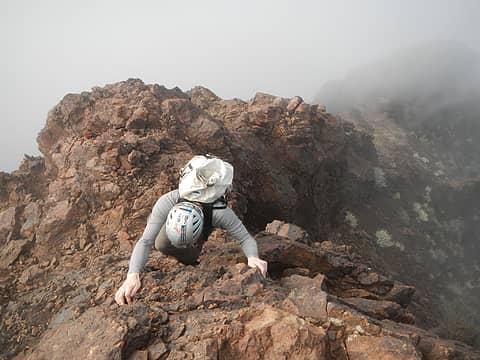 exposed step 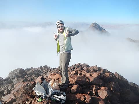 Booth's summit 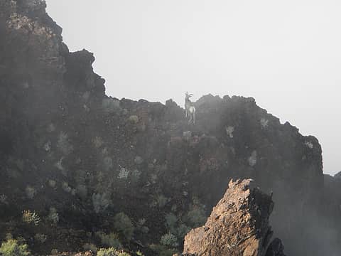 another sheep 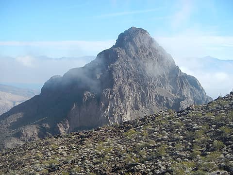 lookingback at Booth's 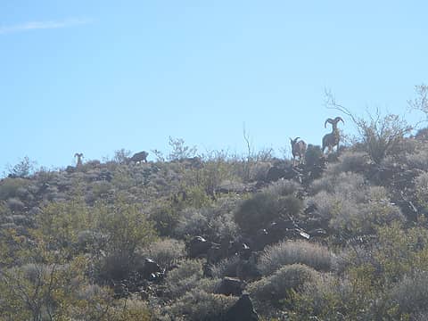 sheep 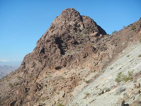 Pyramid summit 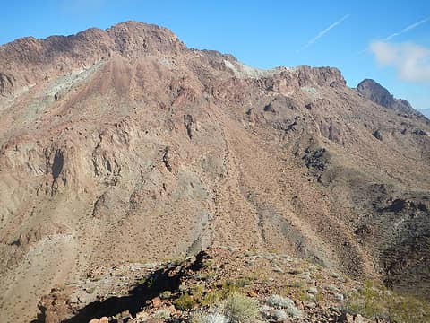 Pyramid from Saddle 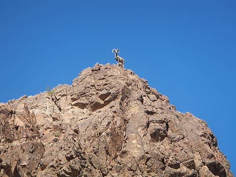 sheep 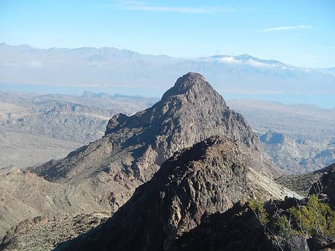 Booth's 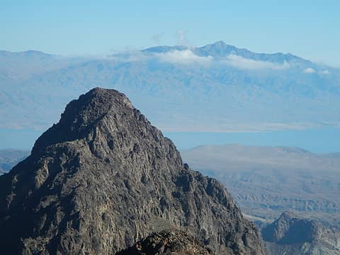 Jumbo 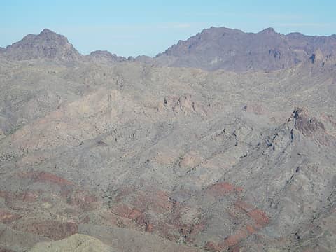 Redstone Peaks 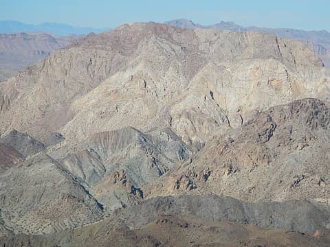 The Sentinel 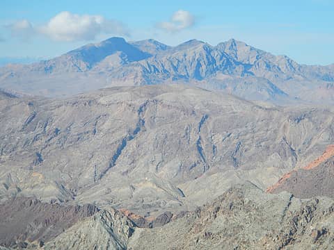 Muddy Mountains 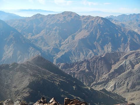 Boulder 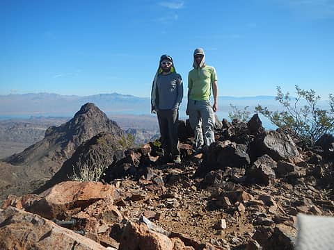 Pyramid summit 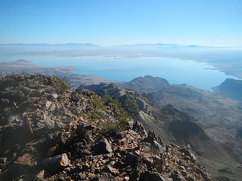 Lake Mead 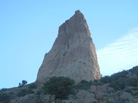 "the blade" 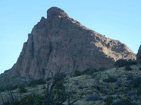 Dove 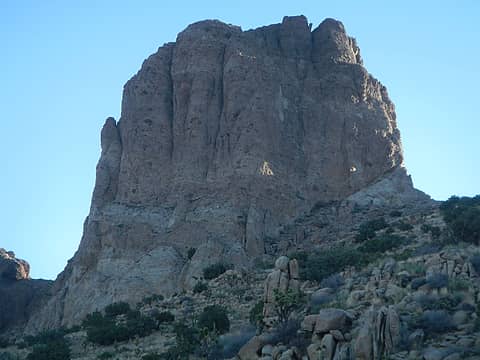 Middle Peak 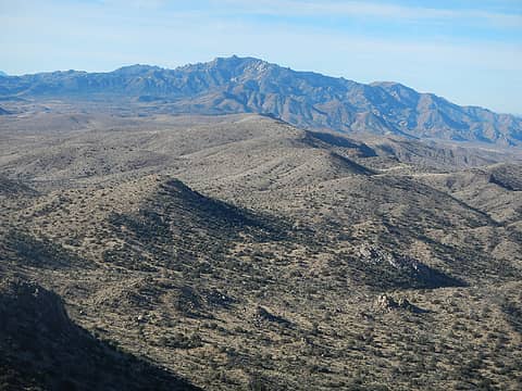 New York Mountains 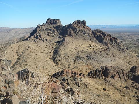 the north peak is highest 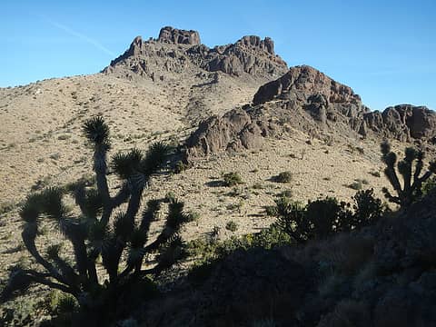 north peak 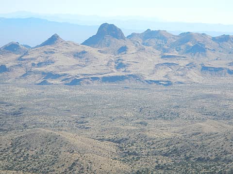 Hart 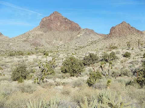 Hart 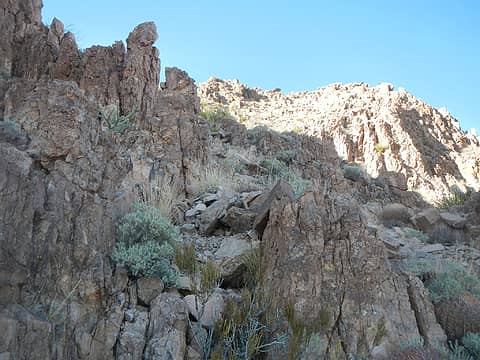 hidden south slopes 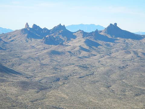 looking back at Castle Peaks 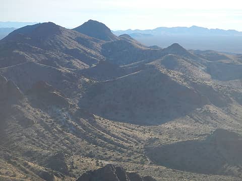 peaks south of Hart 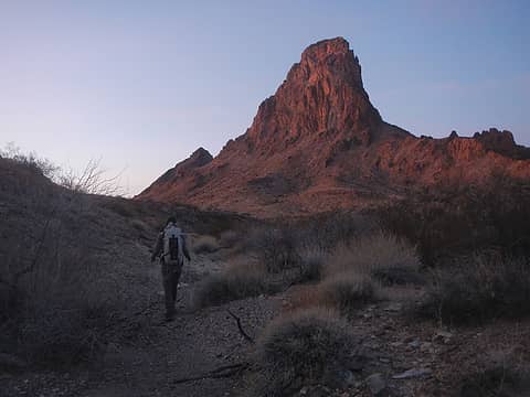 Mopah 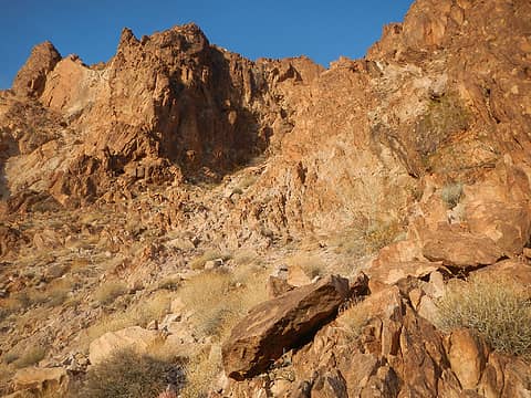 entrance to gully 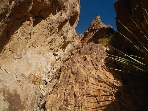 chimney to exposed notch 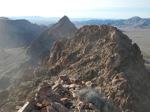 Umpah 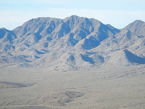 Turtle Mountains Peak  Umpah 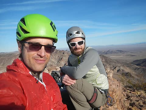 Mopah summit 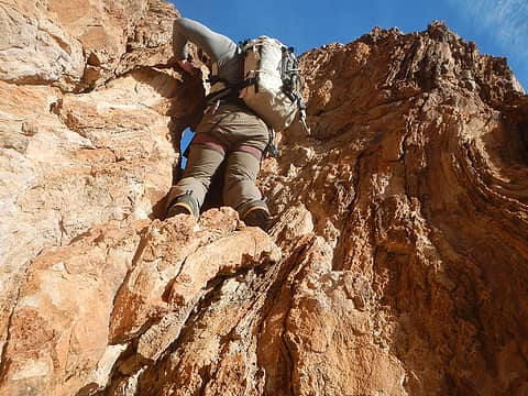 back through the notch 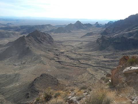 3rd objective down below 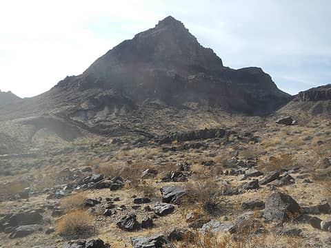 Umpah 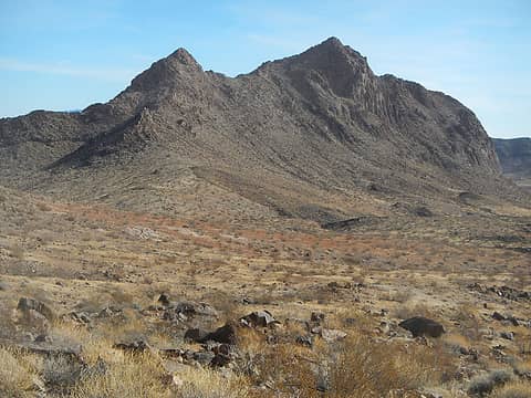 3rd objective 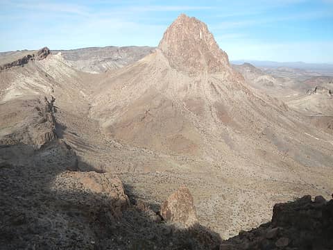 Mopah south face and route visible 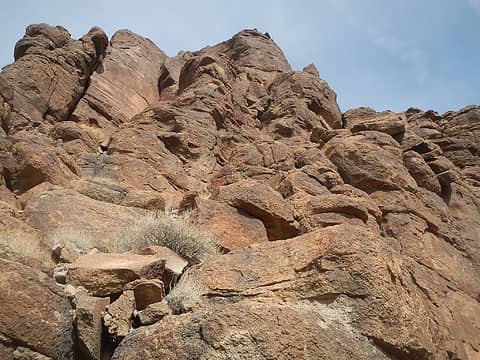 good quality at the end 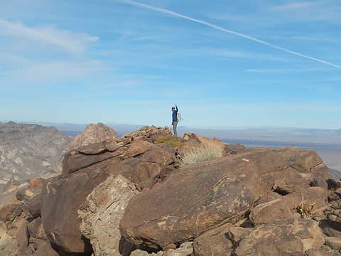 Umpas summit 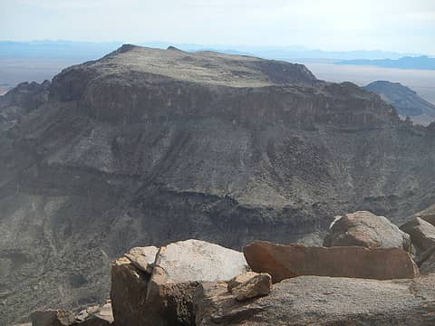 Kettle Peak 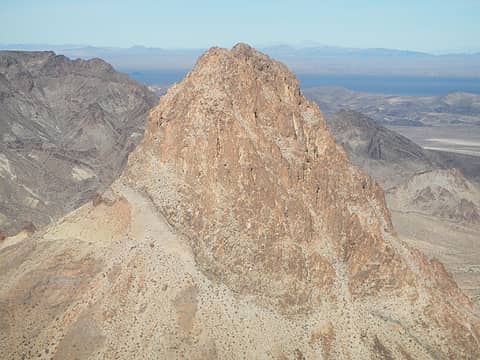 Mopah 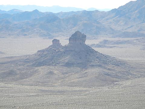 Castle Rock 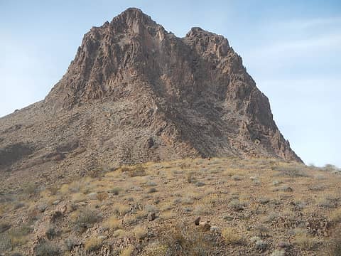 Mopah 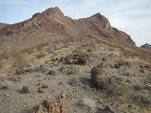 3rd objective 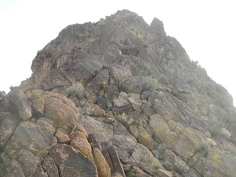 summit scramble 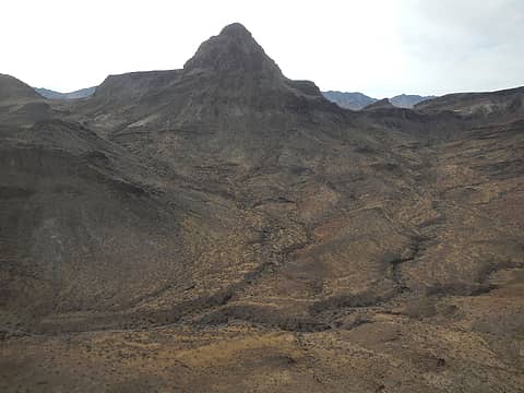 Umpah 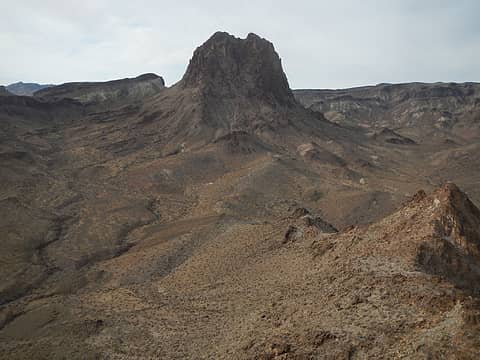 Mopah 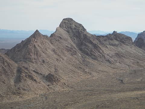 Peak 2688
|
| Back to top |
  
|
|
Gimpilator
infinity/21M
Joined: 12 Oct 2006
Posts: 1684 | TRs | Pics
Location: Edmonds, WA |
1-15
Bobbin Peak
Having seen the Trigo Mountains several times from the highway, I was itching to get in there and explore it. They look really craggy and imposing from the west. I was able to drive really far into the range on decent roads. Matt was ready for another rest day, so I went solo to check out Bobbin Peak first.
 Needles Eye 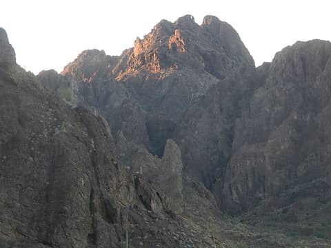 Needles Eye 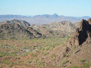 Palo Verde across the river 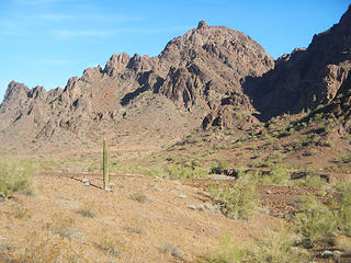 Looking back at Bobbin 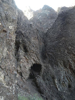 class 4 chute 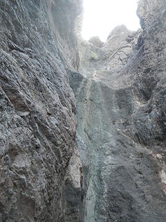 class 5 dryfall 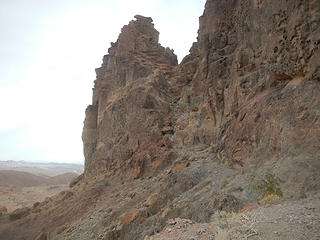 gully and notch 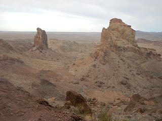 other spires 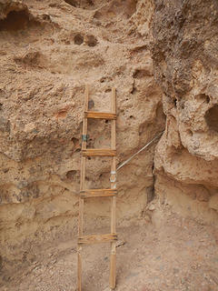 first ladder 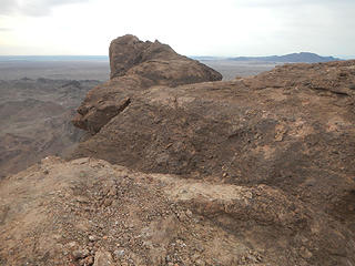 summit visible 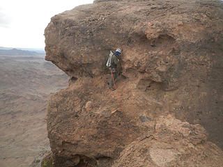 climb up from the first notch 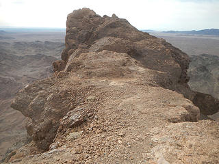 summit near 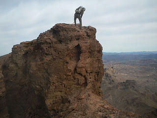 down to the second notch 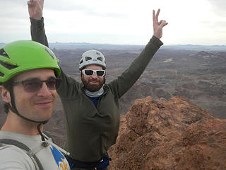 Picacho summit 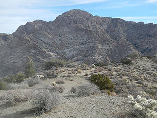 Spirit viewed from Christmas Tree 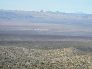 Hart and Castle Peaks 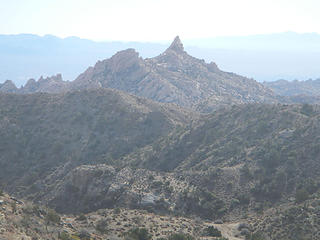 Bridge Canyon Wilderness Peak 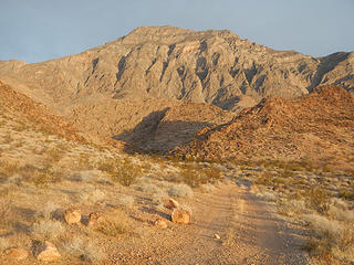 Moapa 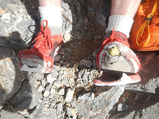 The worst I have ever seen. Josh is hard on his trail-runners. 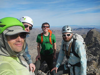 Moapa summit
|
| Back to top |
|
|
Stefan
Member

Joined: 17 Dec 2001
Posts: 5091 | TRs | Pics
|
|
Stefan
Member
|
 Fri Jan 19, 2018 9:38 pm |
|
|
Not a single section of vine maple in sight!
|
| Back to top |
|
|
Fletcher
Member

Joined: 29 Jul 2009
Posts: 1870 | TRs | Pics
Location: kirkland |
|
Fletcher
Member
|
Sat Jan 20, 2018 2:17 am |
|
|
Looks like so much fun! I wish I was bagging desert peaks everyday.
|
| Back to top |
|
|
awilsondc
Member

Joined: 03 Apr 2016
Posts: 1324 | TRs | Pics
|
|
| Back to top |
|
|
trent
Suffering fool

Joined: 02 Oct 2006
Posts: 65 | TRs | Pics
Location: Stanwood |
|
trent
Suffering fool
|
Sun Feb 04, 2018 11:34 pm |
|
|
| Gimpilator wrote: | | This might be the most enjoyable and memorable route I have ever done. It's in a scenic area and has so many unique features. I really think it might be my favorite ascent to date. |
I would agree. I can't get enough, having been up the peak about 15 times!
The infamous step-across!
Swimming in the Colorado River after the climb is nice as well!
The military has a low level training route that passes close aboard the peak. Makes for some interesting flybys!
It's all downhill from here!
It's all downhill from here!
|
| Back to top |
|
|
ree
Member

Joined: 29 Jun 2004
Posts: 4399 | TRs | Pics
|
|
ree
Member
|
Mon Feb 05, 2018 10:36 am |
|
|
|
| Back to top |
|
|
belowfellow
Transplant

Joined: 22 Feb 2009
Posts: 261 | TRs | Pics
Location: Seattle |
Great weather, great trip. Thanks for everything, Adam. Here are a few of my photos.
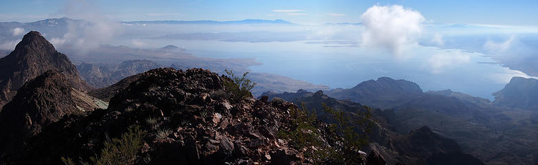 1-11-18- pano3
|
| Back to top |
|
|
Gimpilator
infinity/21M
Joined: 12 Oct 2006
Posts: 1684 | TRs | Pics
Location: Edmonds, WA |
Wow! Great photos guys! Thanks for sharing those with us Trent.
Had a wonderful time Matt. Hope you can do it again next year.
|
| Back to top |
|
|
|
|
You cannot post new topics in this forum
You cannot reply to topics in this forum
You cannot edit your posts in this forum
You cannot delete your posts in this forum
You cannot vote in polls in this forum
|
Disclosure: As an Amazon Associate NWHikers.net earns from qualifying purchases when you use our link(s). |


 Ohhhhh yeah! Good times man, and strong words about Picacho considering the wealth of peaks you've climbed. I'll have to remember that one.


