| Previous :: Next Topic |
| Author |
Message |
Gimpilator
infinity/21M


Joined: 12 Oct 2006
Posts: 1684 | TRs | Pics
Location: Edmonds, WA |
April 3, 2018
Mormon Peak - 7414
It wasnt something planned, but this was the beginning of a 17 day peakbagging binge. It started with fellow cohort Greg Gerlach. We used his truck to cross the Meadow Valley creek. The standard approach for Mormon comes in from the southwest. The road is in fine condition until the washout at 4240 feet. In hindsight, my Subaru could have crossed the creek.
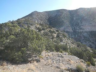 west ridge above 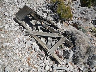 survey tripod 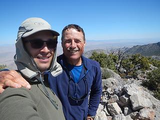 Mormon summit 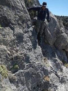 class 3 crux 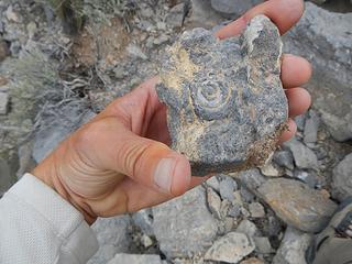 fossil 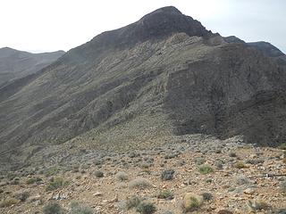 South Arrow 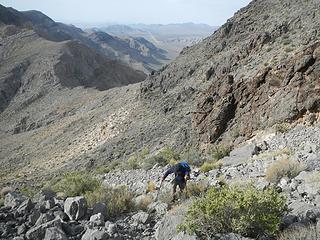 traverse 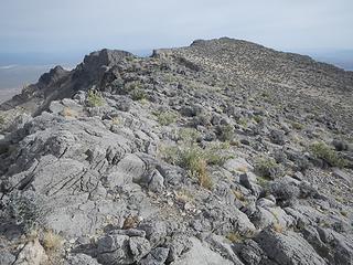 final summit plateau 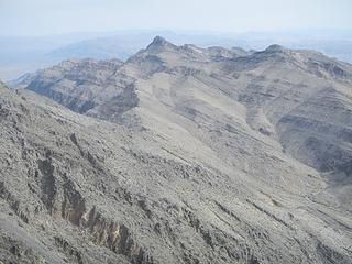 Broken Arrow 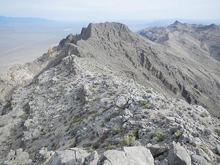 Arrow Peak 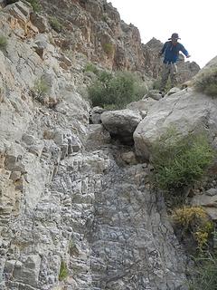 minor dryfall 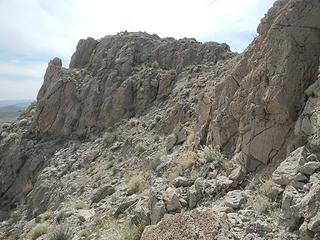 summit 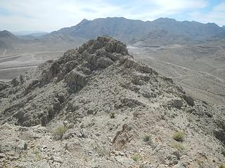 main summit from north summit 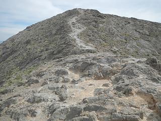 north ridge 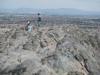 summit 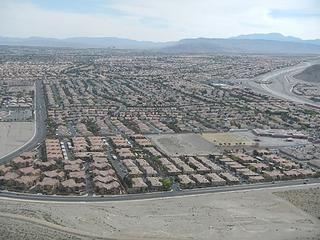 developement 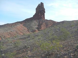 Red Needle 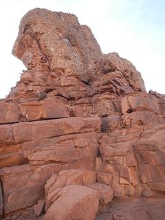 potential eastern climbing route 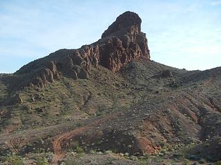 Pinnacle 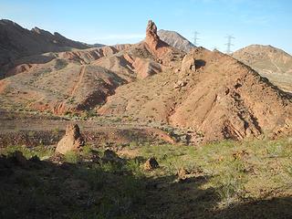 looking back at Red Needle 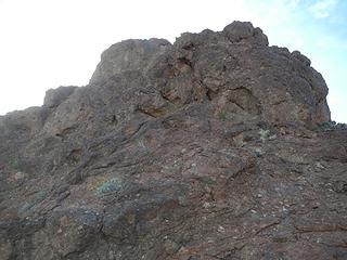 east face 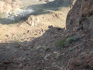 came up this rubble 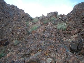 class 3 above 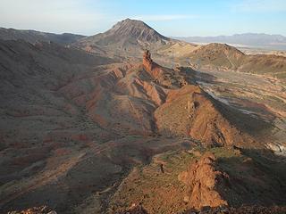 decent views 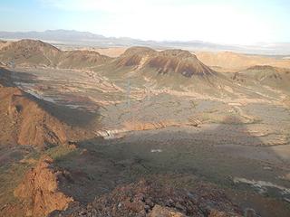 Red Fox 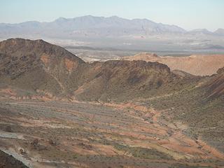 Muddies 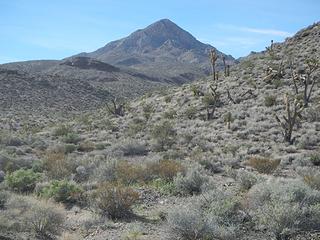 Little Devil 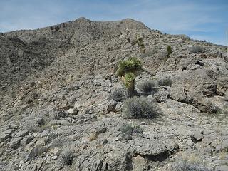 east ridge 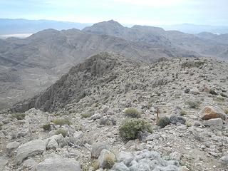 Devil 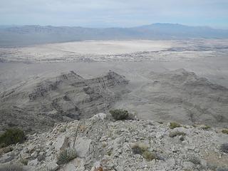 Mesquite Lake 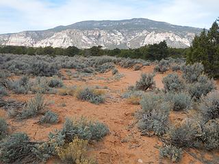 Navajo  Navajo summit
|
| Back to top |
  
|
|
John Morrow
Member

Joined: 03 Apr 2007
Posts: 1526 | TRs | Pics
Location: Roslyn |
Oh well,
You did an admirable job of holding off, while I headed for the CO Plateau instead. You left a number of points in the range to return for, so maybe they'll be on your radar in Nov!
Looks like you've established yourself quite well with the locals. I think I see a bunch of their stuff on Peakbagger
John
Tell me, what is it you plan to do with your one wild and precious life?-Mary Oliver
A nation that continues year after year to spend more money on military defense than on programs of social uplift is approaching spiritual doom.
― MLK Jr.
Tell me, what is it you plan to do with your one wild and precious life?-Mary Oliver
A nation that continues year after year to spend more money on military defense than on programs of social uplift is approaching spiritual doom.
― MLK Jr.
|
| Back to top |
|
|
Eric Hansen
Member

Joined: 23 Mar 2015
Posts: 866 | TRs | Pics
Location: Wisconsin |
Thanks for the great TR's. re Navajo Mt. Been up it maybe 4 times, all ski/hike combos in April except one at Christmas. The road from the south gets you to the top but I'd suggest the route up from Rainbow Bridge, thru the canyons and ascending the west ridge. Fabulous views. Tour boat to Rainbow Bridge. Good karma to check in with the chapter house. Alternatively, there was a hogan on the south side (near the air strip) we'd visit with, ask permission to leave our vehicle with.
|
| Back to top |
|
|
RichP
Member

Joined: 13 Jul 2006
Posts: 5633 | TRs | Pics
Location: here |
|
RichP
Member
|
 Mon Apr 30, 2018 8:34 pm |
|
|
| Gimpilator wrote: | developement |
 That looks frightening. That looks frightening.
|
| Back to top |
|
|
|
|
You cannot post new topics in this forum
You cannot reply to topics in this forum
You cannot edit your posts in this forum
You cannot delete your posts in this forum
You cannot vote in polls in this forum
|
Disclosure: As an Amazon Associate NWHikers.net earns from qualifying purchases when you use our link(s). |


