Forum Index > Trip Reports > Roaring Ridge/Loser Ridge May 16, 2018
 Reply to topic
Previous :: Next Topic
Author Message
RichP
Member
Member


Joined: 13 Jul 2006
Posts: 5633 | TRs | Pics
Location: here
RichP
Member
PostThu May 17, 2018 7:35 am 
These two points in the slash lands south of I-90 straddle Lost Lake on the north and south and have logging roads that allow for short hikes in the summer. We decided on a snowshoe of both now that snowmobiles are no longer buzzing up and down the roads. We were surprised to find the road snow-free to Lost lake and it looks like it had been plowed over the winter. No evidence of logging or other work that we could spot. We parked at the east end of the lake where roads head up to both of these summits. We started up the road to Roaring ridge first and snow began immediately though much of it was dry on the southern aspects. At about 1 mile the road switchbacks up and crosses a minor basin. After this we chose a line that looked fairly brush free and headed up toward the top of the ridge. We stayed on snow where possible and made the top without much ado. We were still a ways off from the summit so we turned west and walked through surprisingly nice forest along the ridge.
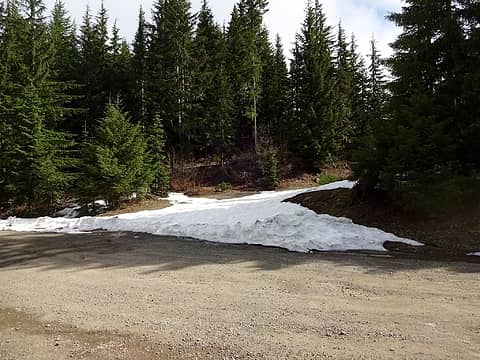
The road to Roaring Ridge at the east end of Lost Lake.
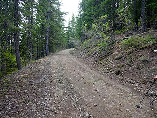
A good road that's drivable in summer.
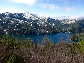
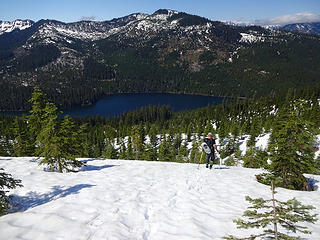
Lost Lake and Loser Ridge.
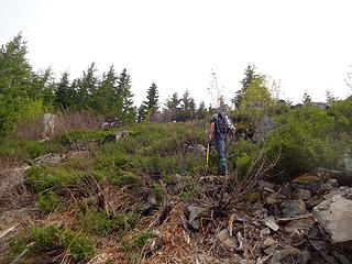
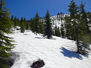
We left the road after about 1 mile and walked straight up to the ridge top. Brush wasn't too bad.
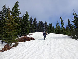
Nearing the top of the ridge on firm snow.
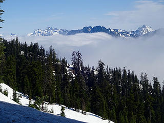
Fog over the Snoqualmie Pass area.
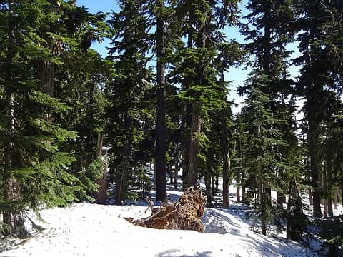
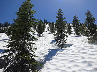
The upper ridge has some nice forest.
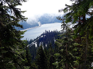
A roaring I-90 and Keechelus Lake.
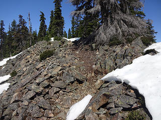
Some sections of old trail that look well built were visible where the snow had melted. Perhaps an access for the lookout?
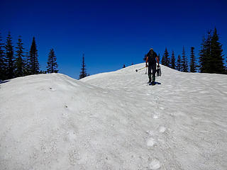
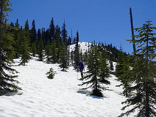
The last steps to Roaring Ridge 4988.'
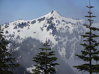
Silver Peak.
Silver Peak.
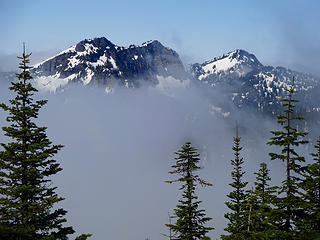
Tinkham and Abiel Peaks.
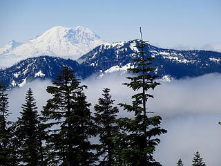
Meadow Mtn and Rainier.
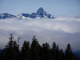
Thompson poking up over the fog.
Loser Ridge, our next hike of the day.
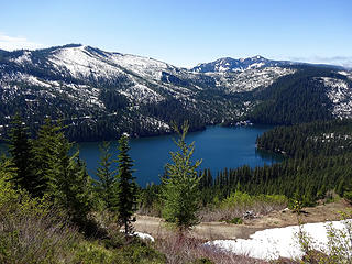
Lost Lake.
Lost Lake.
The summit has good views of the Snoqualmie Pass peaks but trees have grown up around some of this former lookout site. We found some sections of old trail where snow had melted near the top which might be the old access for the lookout back in the day. 4 miles and 2000' gain. After getting back to the car for a short break we hiked up the road to Loser Ridge. At the first creek crossing we left it on the east side and walked straight up to near the summit crossing the road one more time along the way. The terrain steepened a bit before the top and I used my snowshoes for traction for the first time this day. Snow was good and covered much of the detritus left behind from recent thinning on this mountain. I wouldn't recommend this direct route when there is no snow cover as there are thousands of stumps and stobs to trip over on the lower end.
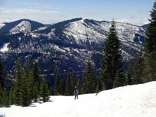
Nearing the top of Loser Ridge.
A steep section before the ridge top.
Bryan arriving to the ridge top.
Loser Ridge summit, 4600.'
Headed down with a view of Roaring ridge over Lost Lake.
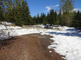
Where we parked below Lost Lake.
The descent was a breeze as conditions were perfect for plunge stepping back down to where we had initially left the road. 3 miles and 1600' gain. After the hike I drove up the road (5480) to see how far it's clear. Snow starts just beyond a raging creek that drains the south side of Roaring Ridge at 3250' about half way around Lost Lake or 1 mile from the summer parking area for Mirror and Cottonwood Lakes.

Back to top Reply to topic Reply with quote Send private message
   All times are GMT - 8 Hours
 Reply to topic
Forum Index > Trip Reports > Roaring Ridge/Loser Ridge May 16, 2018
  Happy Birthday mtnwkr!
Jump to:   
Search this topic:

You cannot post new topics in this forum
You cannot reply to topics in this forum
You cannot edit your posts in this forum
You cannot delete your posts in this forum
You cannot vote in polls in this forum