Bloated Chipmunk
Cock Rock Searcher


Joined: 29 Jan 2007
Posts: 2993 | TRs | Pics
Location: Margaritaville |
Donohoe Mtn. is more of a hill than a mtn., but for some reason it got the lofty title of "mountain" even though much bigger peaks nearby didn't necessarily get named.  In any case it's a good weekday morning leg stretcher in the summer months - short 'n steep, no people, & close to town. I had one taker from my group to join me on this hike. I took notes along the way just in case it was wanted for another article (which I later found the answer to be unequivocally 'yes'). I'd been to this hill once, over 5 yrs. ago & it was much greener @ that time since it had been in Feb., not July. In any case it's a good weekday morning leg stretcher in the summer months - short 'n steep, no people, & close to town. I had one taker from my group to join me on this hike. I took notes along the way just in case it was wanted for another article (which I later found the answer to be unequivocally 'yes'). I'd been to this hill once, over 5 yrs. ago & it was much greener @ that time since it had been in Feb., not July.  The trailhead is located off of Marron Valley Rd., south of the 94 in the area of Dulzura/Engineer Springs. The sign @ the TH indicates that it's part of Sycamore Canyon, BLM land, & it mentions a lot of things about where to shoot or not shoot, etc.
  Maybe I should've worn orange. Maybe I should've worn orange.  @ the TH:
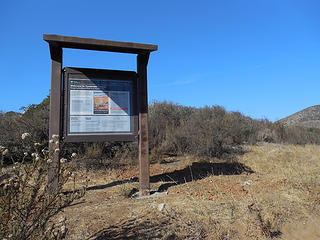 TH sign 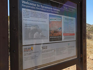 Closer view of sign @ TH 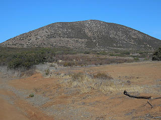 Donohoe Mtn. 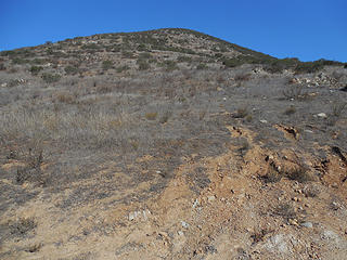 Place to leave rd. 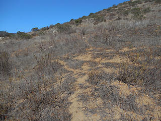 Wildlife trail 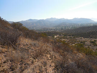 Looking over to Engineer Springs 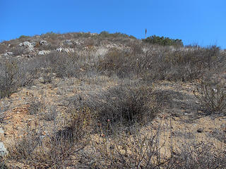 Heading up the SE slope of Donohoe Mtn. 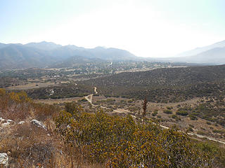 Engineer Springs 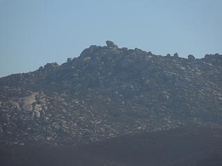 Zoom of Mother Grundy Pk. 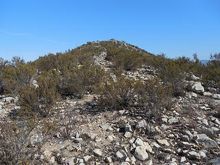 Almost there 
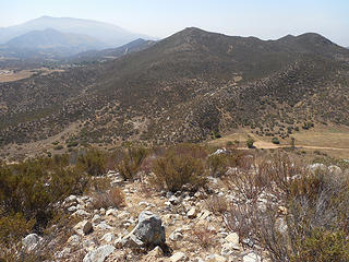
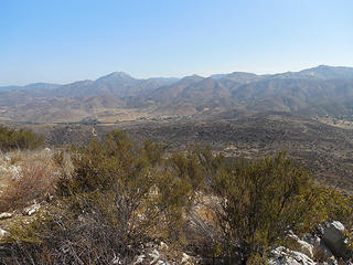 Summit views 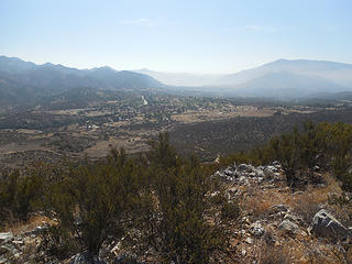 Summit views 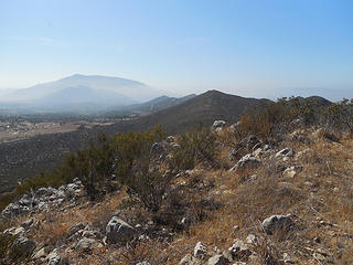 Summit views 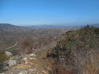 Summit views 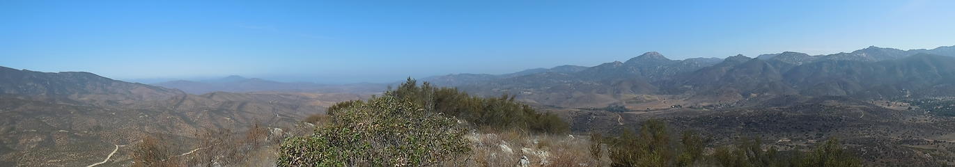 Summit pano 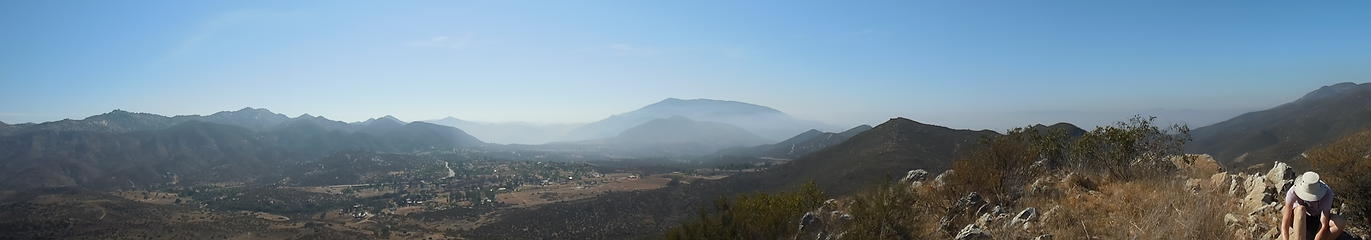 Summit pano 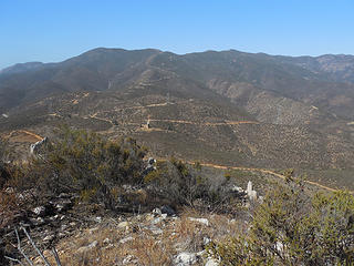 Otay Mtn. 
 Heading back down 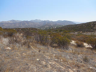 Almost down to the rd. 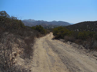 On the rd. again 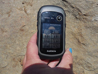 Very short hike 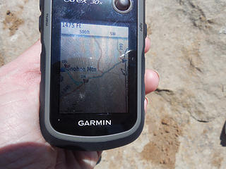 Rt. 
Home is where the hiking is.
"Peaks that have come and gone four times should halt a man in his steps." -- William O. Douglas
A balanced diet is a margarita in each hand.
Home is where the hiking is.
"Peaks that have come and gone four times should halt a man in his steps." -- William O. Douglas
A balanced diet is a margarita in each hand.
|


