| Previous :: Next Topic |
| Author |
Message |
neek
Member


Joined: 12 Sep 2011
Posts: 2337 | TRs | Pics
Location: Seattle, WA |
|
neek
Member
|
 Mon Oct 15, 2018 4:01 pm |
|
|
I wasn't planning to do another larch trip, but Eric (cartman) talked up this area so much that I decided I had to take advantage of the incredible stretch of weather and see the Sawtooths for myself. I learned quickly, however, that warm days this time of year do not translate to warm nights, and don't magically make the nights any shorter! I spent a lot of time just lying there, waiting for the sun to come up, trying not to let any warm air escape my sleeping bag. Maybe I should have brought a book. Maybe I should have brought various electronic gadgetry required to compose trip reports in the field. Luckily, I don't get bored easily. Having that sort of downtime, where you can't do anything even if you want to, provides time for uncluttered thought, time to practice being mindful. That's the theory anyway. In reality I was counting the countless seconds, hoping for some space-time anomaly to fast-forward the night so I could get on with things. And when the sun came up, it didn't really come up. Light preceded heat by an hour or two. If my hands didn't get so cold, maybe I could function better in those twilight hours. But what was the problem? I wasn't in a hurry. No one was keeping score. The whole point of a wilderness experience is to escape the clock-driven chaos of normal life, or what normal life has become. (Not that I would complain about it no longer being a daily struggle for survival for most of us.)
When I think of the Sawtooth range, I think of Idaho, which is funny, because this part of the Cascades really does remind me of Idaho. Grassy, open, dry, full of lakes and rocky peaks. The rest of the family did happen to be in Idaho at the same time--thus my ability to take 4 days off. This was one of my best trips of the year, and I had some good ones. But on with the report.
Day 1 (Oct 11): Cooney Lake
It's a long drive from the west side: over Stevens Pass, through Wenatchee (which I can never seem to navigate through without missing one of the 20 or so exits you need to take simply to stay on the highway), north on 97 and then 153 (the gas station in Pateros has a really nice bathroom), then east on 4340 which starts as Gold Creek Road or something, and finally to the end of 4340-200 to the Foggy Dew trailhead. Actually I didn't go that far. I stopped at the unmarked Foggy Dew Ridge trail at a switchback about a mile from the end. This ended up being good because high up on the ridge there's a tiny patch of sagebrush, and I like seeing (and smelling) sage at least once per year (but no more than twice). After and/or before that there was serious blowdown, hundreds of small-diameter logs, 90% of which had been cleared, or else I probably would have given up at some point. Somewhere around 7000 ft I lost the trail. Maybe I was way too high on the ridge. But no, I even pulled out the GPS and was supposedly right on it. This led to some slow-going, especially when the route went across a steep rocky area. But there were some nice meadows too--and tons of bear poop. Just as I was thinking "wow, there's a lot of bear poop around here, I wonder if there are any bears", I looked up to see one scurrying away from me. No time to get the camera out--that's how it usually goes. I eventually found the trail again, or at least found Cooney Lake. I was planning to go much further this day, but it was clear that I'd end up on the top of a ridge in the dark if I tried. So I set up camp, surprisingly with decent privacy despite half a dozen other parties there. The night was long and cold, and the wind picked up. In the morning, everything was covered in larch needles. But they are so non-threatening, as is everything about the delicate larch.
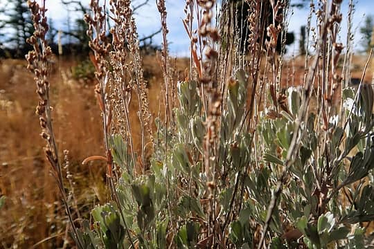 Sagebrush on Foggy Dew Ridge 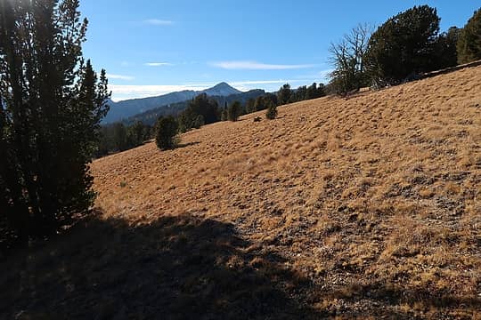 No trail required 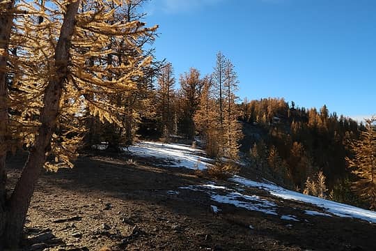 Larches are a bit past their prime 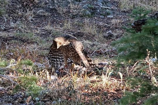 Hawk with what I believe was a grouse 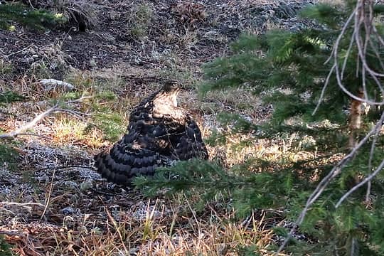 Nothing to see here. Move along 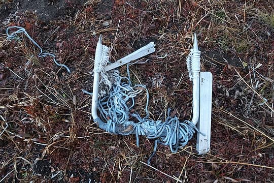 With a few new bolts this should be good as new. (I carried out some Mylar balloons, a half-eaten shirt, and a bungee cord, but wasn't thoughtful enough to carry this around for 4 days) 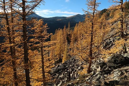 Is there really supposed to be a trail here?  Sun messing with my camera  Not a sign I'm used to seeing. Yes, a lot of these trails are open to everyone 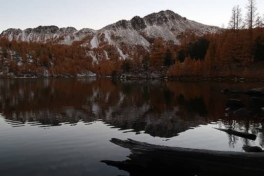 Cooney Lake with Switchback Mountain behind 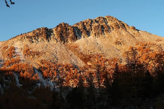 Switchback in morning light 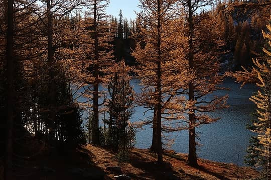 Cooney Lake 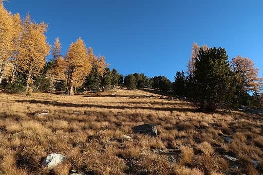 Heading up from Cooney 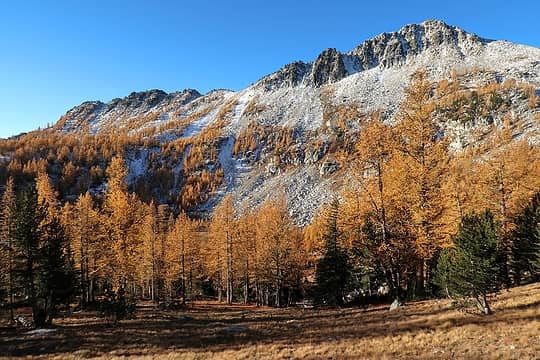 Switchback 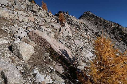 Almost to Martin 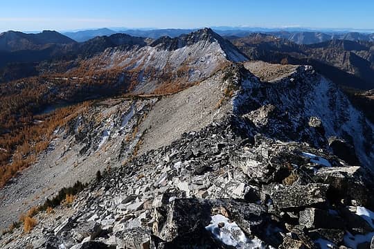 Looking back at Cooney Lake and Switchback 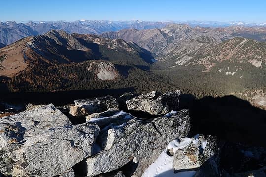 Cub Lake to the west 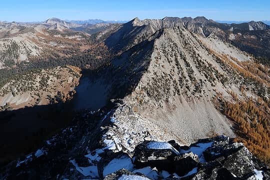 Looking north. Save Cheops for another day 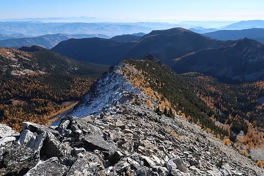 Given the dry hazy bleakness beyond, this must be looking east 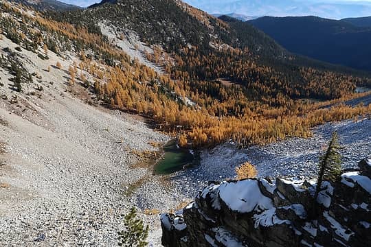 Highest of the Martin Lakes 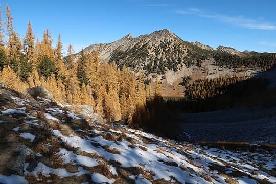 Mount Bigelow rising above Boiling Lake 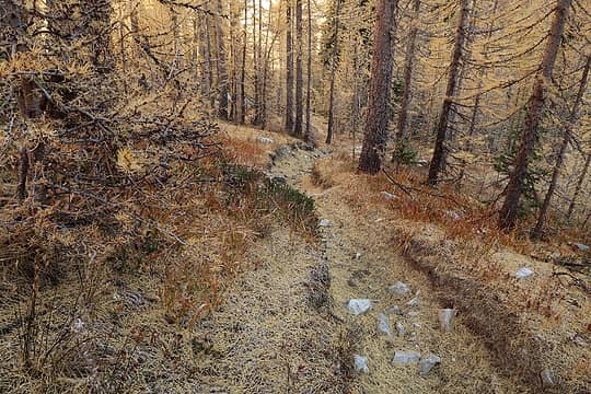 On the spur trail that goes to the saddle just S of Boiling Lake 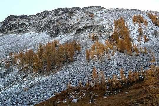 Wintry scene to the SE of Boiling 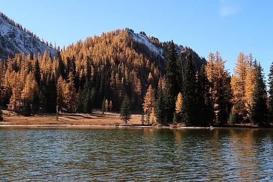 Boiling lake (did not see any bubbles) 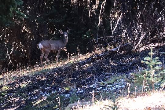 Deer 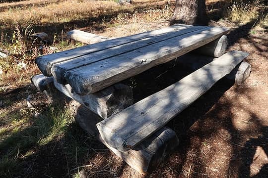 Not bad 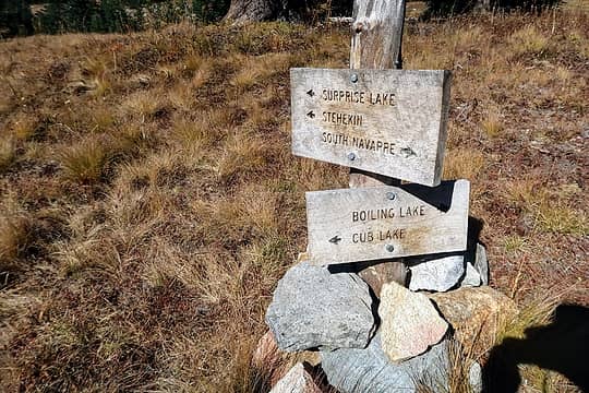 Junction 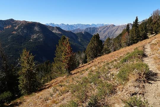 Trail view 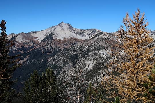 Courtney, I think 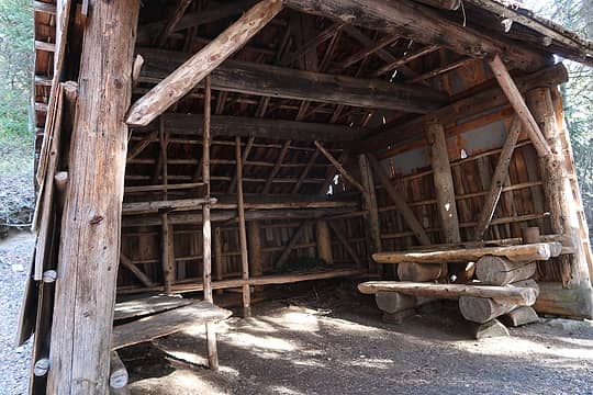 Shelter 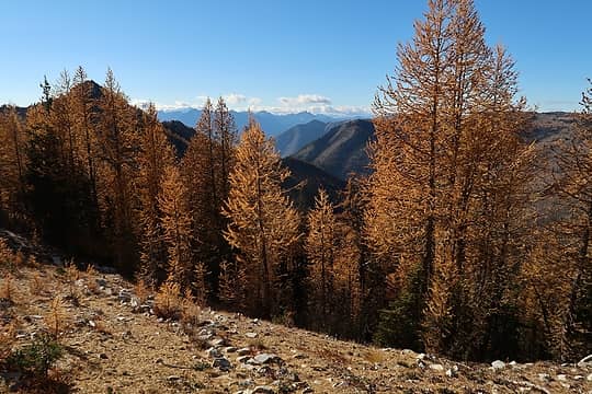 Still larchy 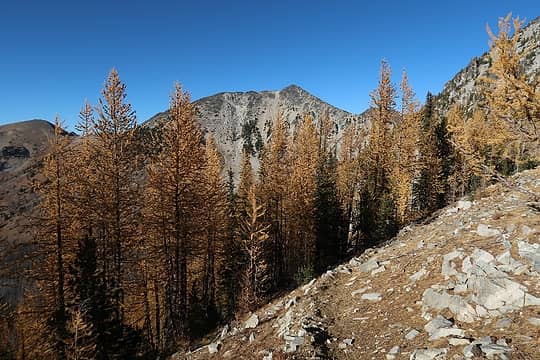 Courtney 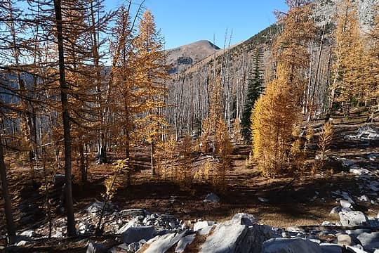 Edge of burn 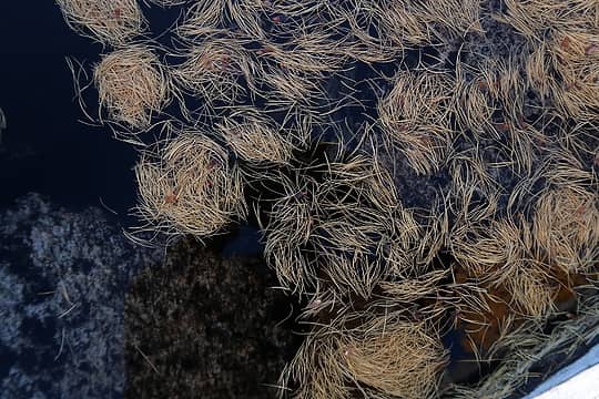 Larch needles in water. What makes them collect in these circular patterns? 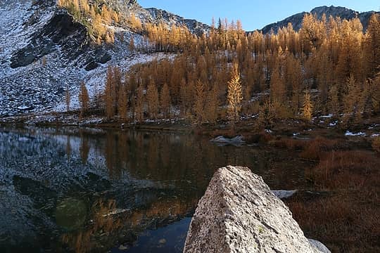 Star Lake 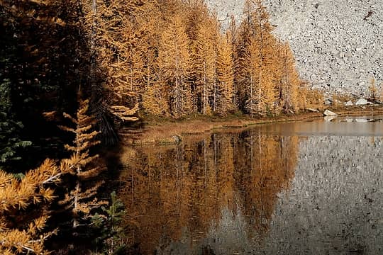 Larch reflection 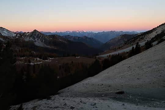 OK, this'll have to do for sunrise color 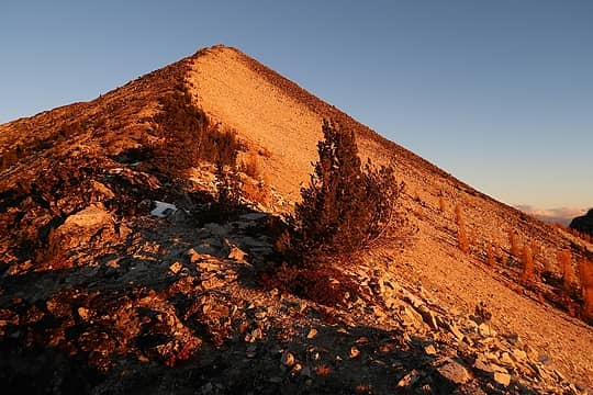 Courtney in morning light 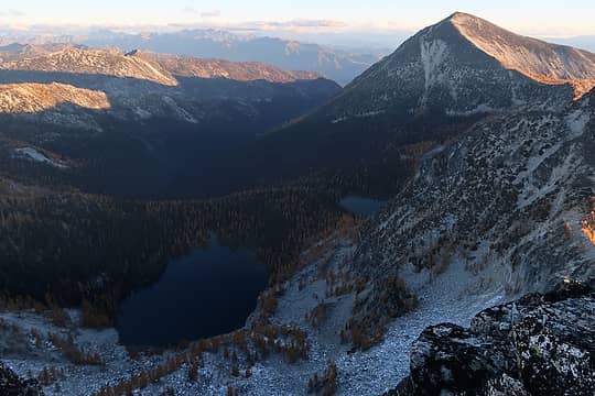 Oval Lakes 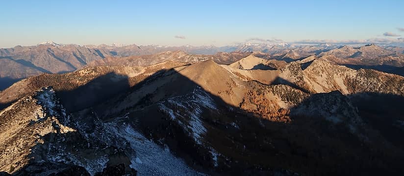 Looking NW 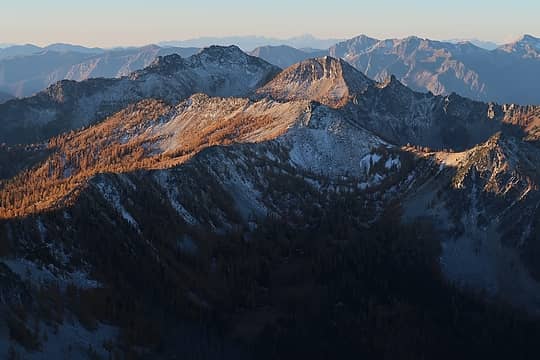 Looking SW. Stuart is way back there, and Rainier 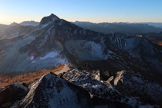 Star 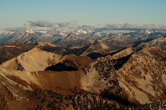 Peaks I've heard of but can't name 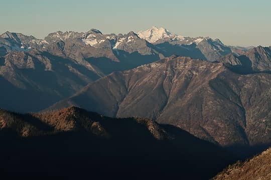 Glacier 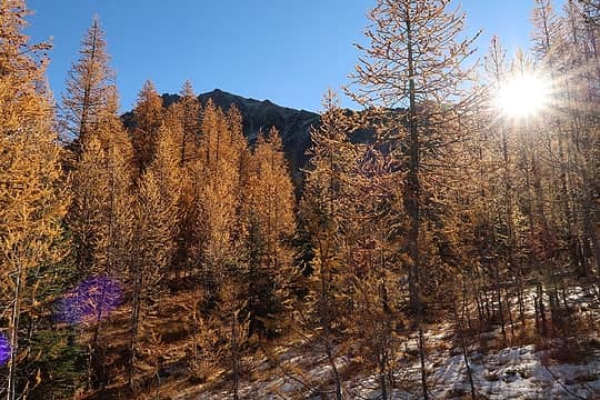 Sun is finally up at camp 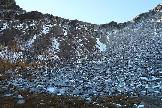 A dusting of snow makes trails easy to spot. I took this one S from Star Lake to a saddle on the SW ridge of Star 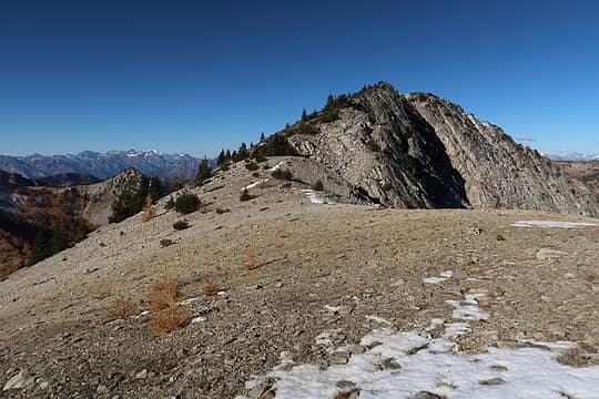 At the aforementioned saddle 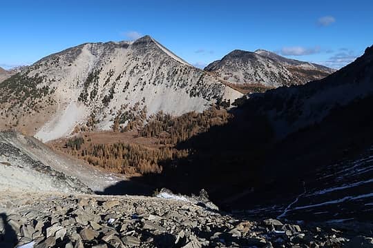 Courtney and probably Oval 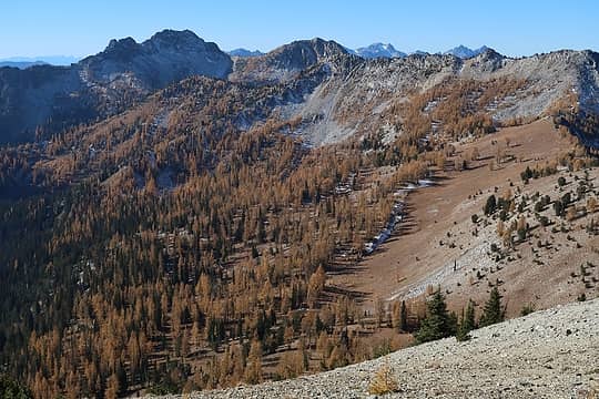 Pretty brown looking down there 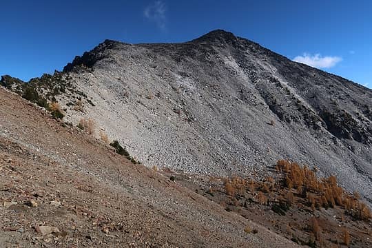 Star 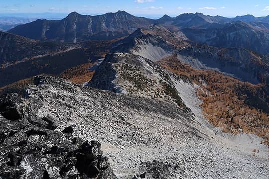 The ridge I'll head down 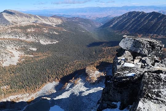 West fork Buttermilk valley 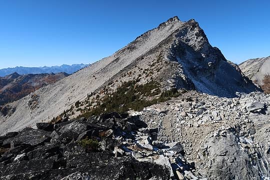 Looking back at Star 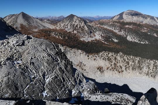 Courtney and Oval 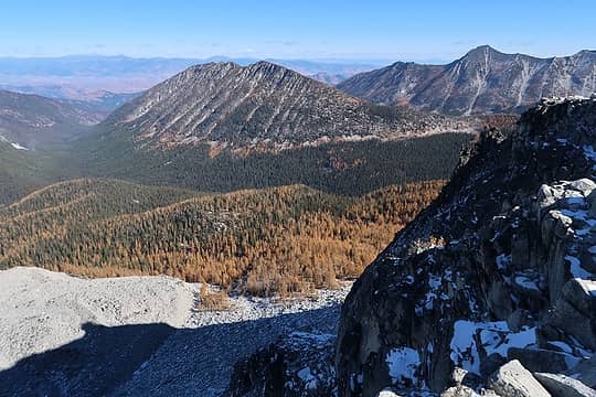 Hoodoo Peak 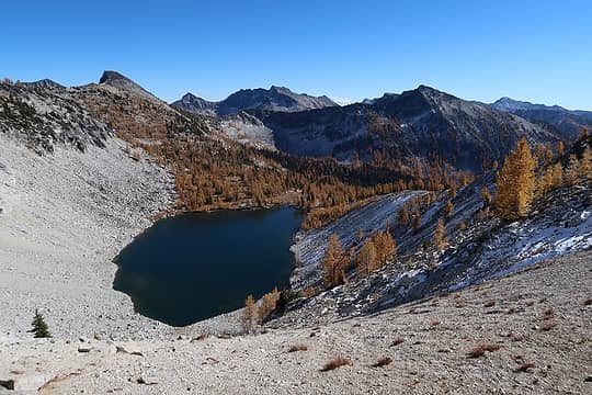 Lake Bernice 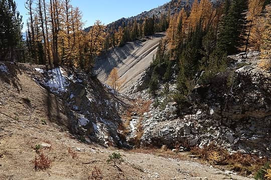 Outflow stream forms a little canyon 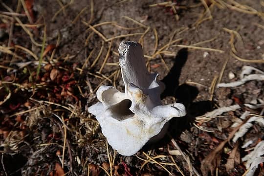 Vertebra 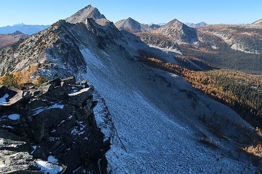 Other side of the ridge I just came across 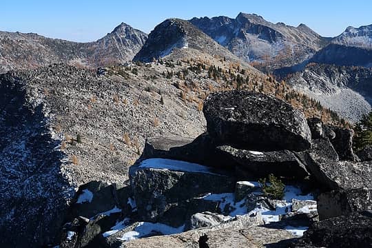 Point 7982 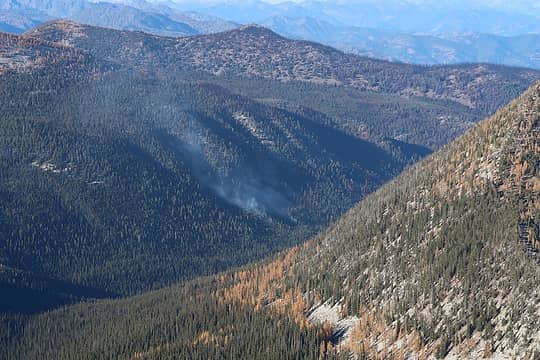 Smoke 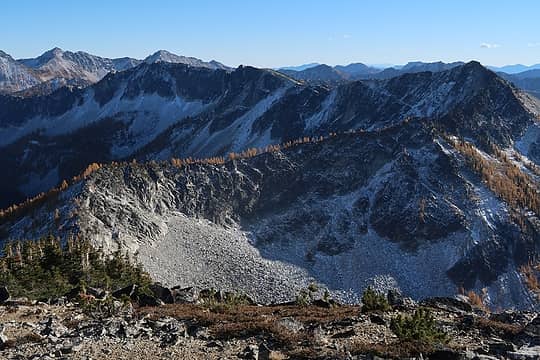 The ridge to Beefhide and beyond 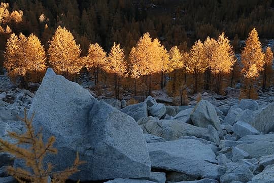 Coming down from Seance 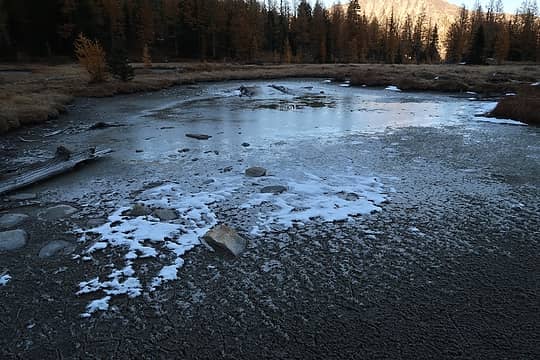 Frozen 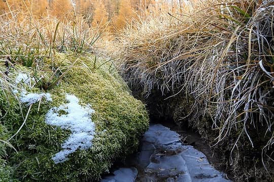 Mini-canyon 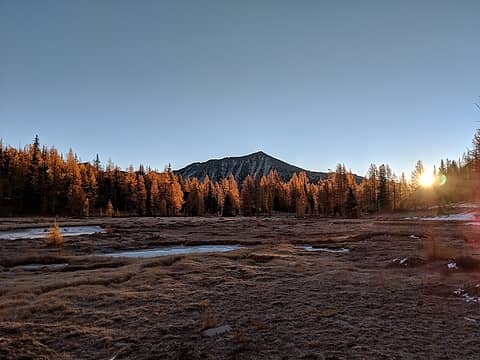 Sunset 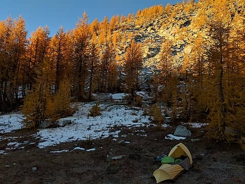 Pleasant camp spot 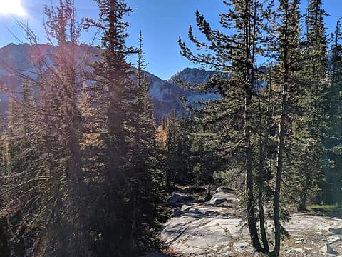 Forest 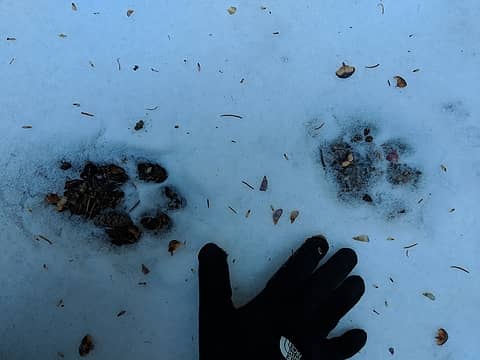 Cougar? 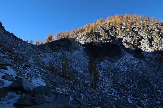 Hoodoo Pass 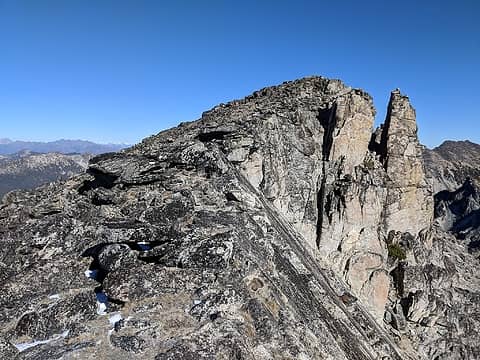 Bigelow Summit 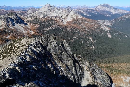 Star and Oval 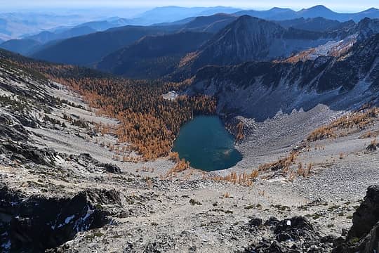 Upper Eagle Lake 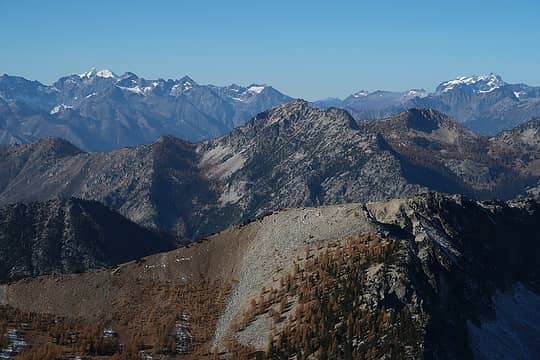 Glacier and ... Bonanza? 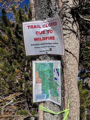 Oops. Now you tell me 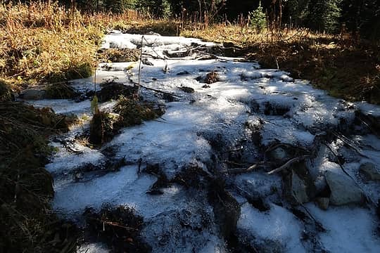 Frozen creek 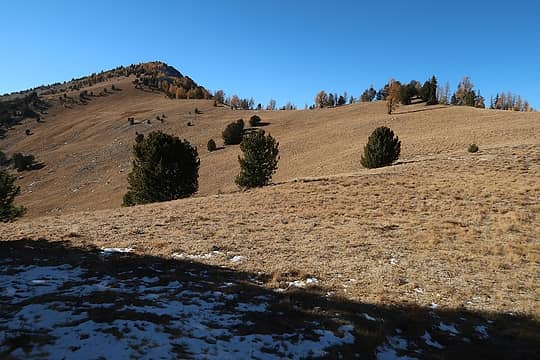 Old Maid looks really inviting from here 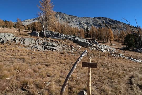 Start of Angel's Staircase trail 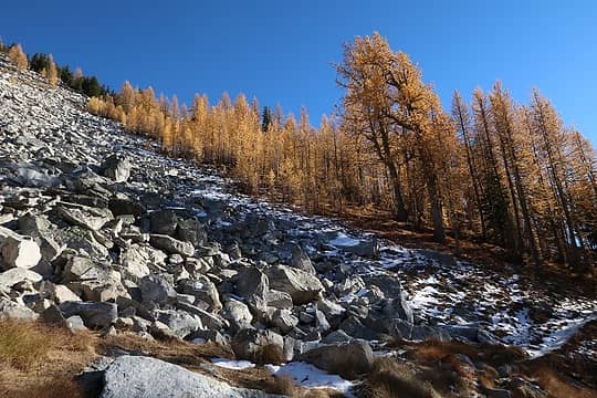 I know you're tired of dormant larches by now 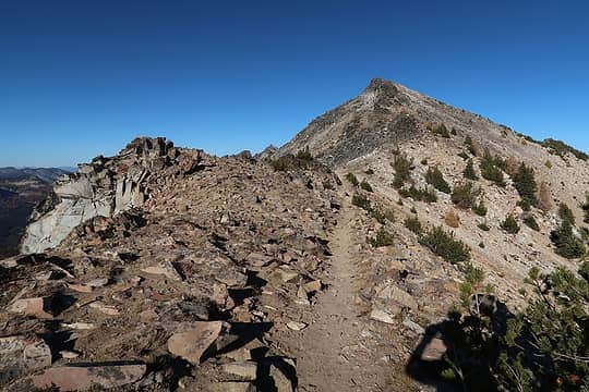 Trail goes almost to the top of Switchback 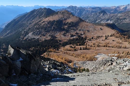 The rest of Old Maid 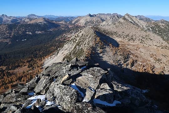 Looking north from Switchback 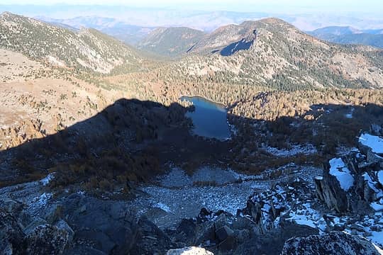 Cooney Lake from Switchback's summit 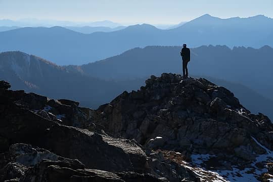 Guy on Switchback 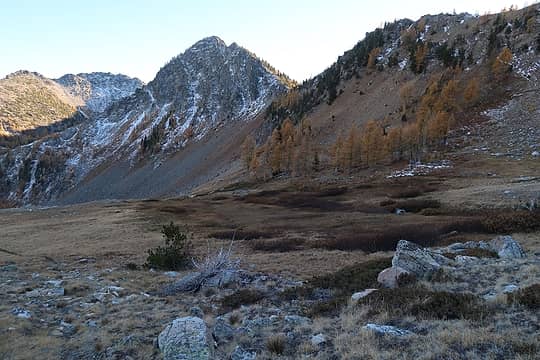 Heading down to the Foggy Dew Creek valley
 zimmertr zimmertr
zimmertr |
| Back to top |
  
|
|
olderthanIusedtobe
Member

Joined: 05 Sep 2011
Posts: 7708 | TRs | Pics
Location: Shoreline |
Nice shots of the hawk. Looks like it's giving you a bit of the stink eye. Larch, lakes, lots of mountains and ridges, good stuff. 
|
| Back to top |
|
|
cartman
Member
Joined: 20 Feb 2007
Posts: 2800 | TRs | Pics
Location: Fremont |
|
cartman
Member
|
Mon Oct 15, 2018 6:22 pm |
|
|
Good to see you had a great time. That area is so expansive and scenic you can go back over and over and still find new places to see. Next trip there go when the larches are prime and the color will blow your mind.
|
| Back to top |
|
|
|
|
You cannot post new topics in this forum
You cannot reply to topics in this forum
You cannot edit your posts in this forum
You cannot delete your posts in this forum
You cannot vote in polls in this forum
|
Disclosure: As an Amazon Associate NWHikers.net earns from qualifying purchases when you use our link(s). |


