| Previous :: Next Topic |
| Author |
Message |
cartman
Member


Joined: 20 Feb 2007
Posts: 2800 | TRs | Pics
Location: Fremont |
|
cartman
Member
|
 Thu Oct 18, 2018 11:48 pm |
|
|
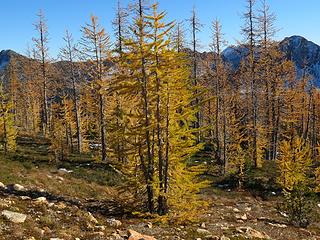 Larch Land 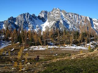 Morning on Azurite 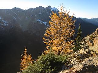 Larches and Ballard 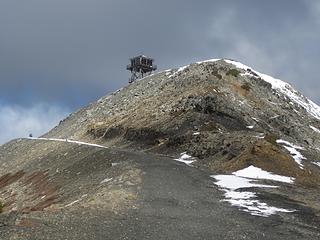 Slate Peak Lookout 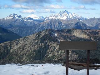 Crater and Jack 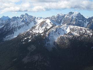 Syncline in the foreground, Azurite and Ballard beyond 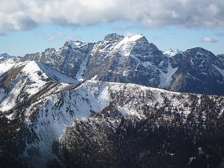 Ballard 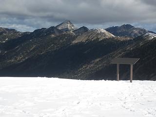 Moody Pasayten Peak and Buckskin Ridge 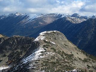 Haystack 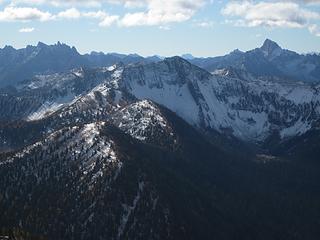 Cone does not look very conelike from Slate Peak 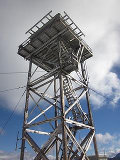 Lookout 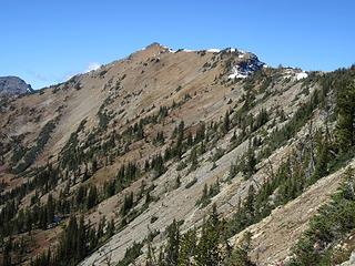 Tatie 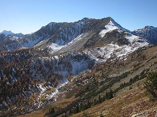 Syncline 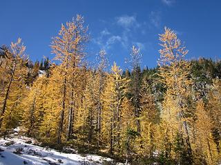 Larches! 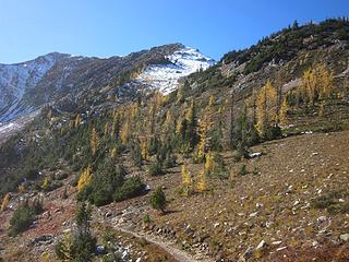 A bit past prime 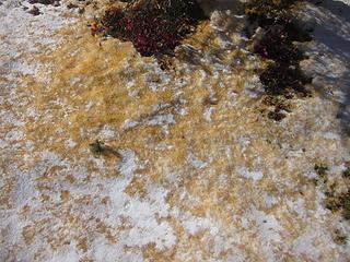 Fairy dust 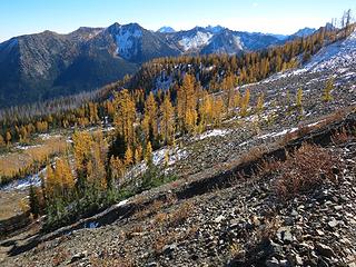 Golden larches on the PCT 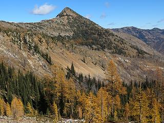 Cone Mountain 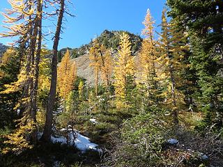 Larches and Light 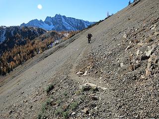 Around Tatie 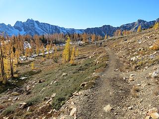 Approaching Grasshopper Pass 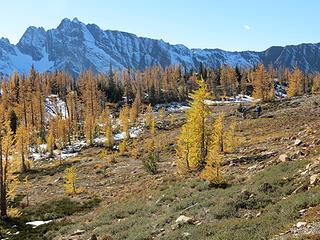 Grasshopper Pass 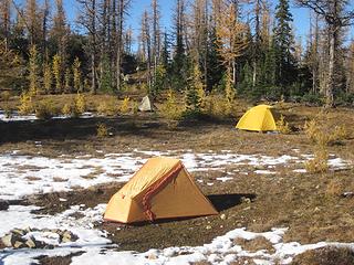 Camp at Grasshopper Pass Larch Land 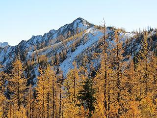 Grasshopper Peak 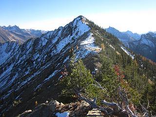 On the way 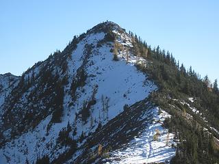 Fast grasshoppers 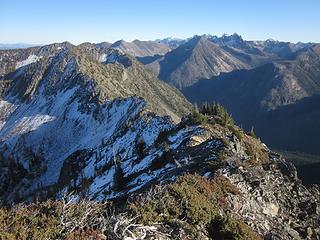 Handcock Ridge 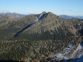 Arralde 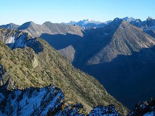 Flagg and Cat Leap 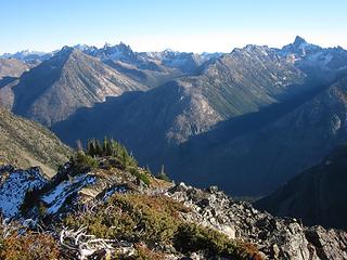 Cat Leap and Straight Ridge 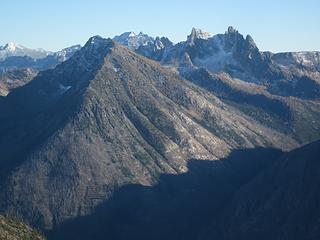 Cat Leap and the Needles 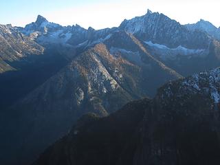 Holliway, Tower and Golden Horn behind 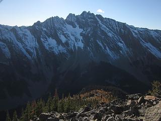 Azurite 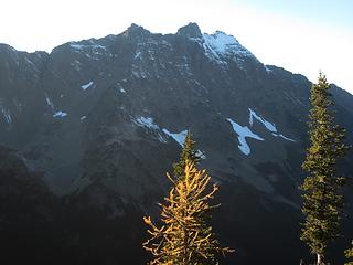 Ballard 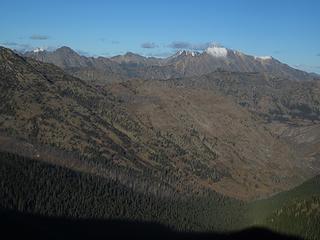 Devils Peak and Robinson 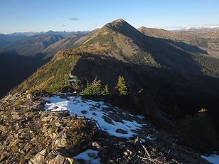 Syncline 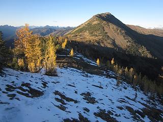 On the way back, Grasshopper Pass and Syncline Larches and Ballard 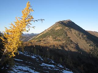 Tilting at larches 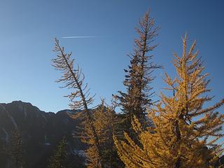 Comet 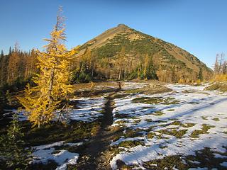 Back to the pass 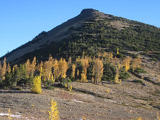 Syncline start Morning on Azurite 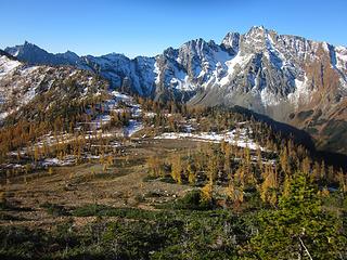 The PCT at Grasshopper Pass 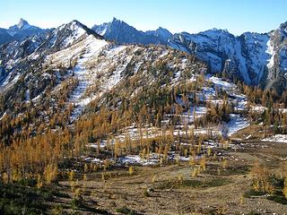 Grasshopper Peak & Pass, Tower and Golden Horn beyond 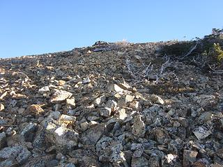 Turning the corner onto the ridge 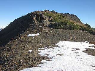 David ahead 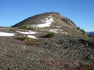 Jet Peak 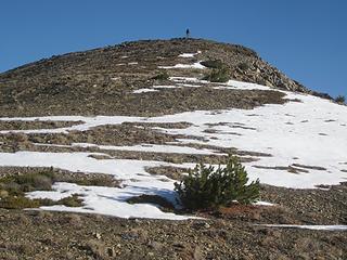 David on the south peak 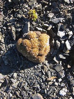 Holding on 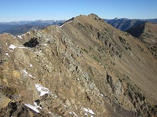 The ridge to the true summit 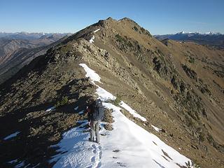 Beginning the ridge walk 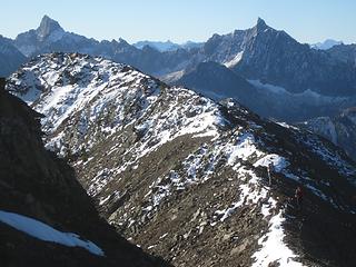 Final ridge walk 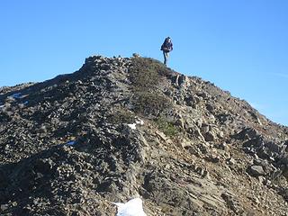 David on the summit of Syncline 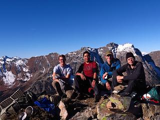 Syncline summit crew 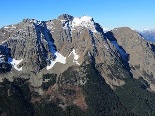 Ballard 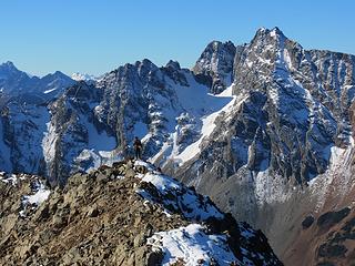 Eusebio and Azurite 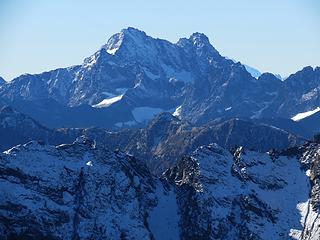 Black Peak 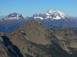 Crater and Jack 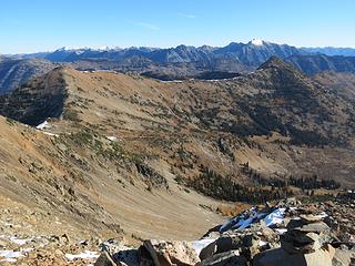 The Pasaytens 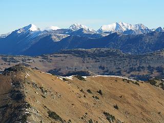 Osceola, Ptarmigan, Carru, Lago 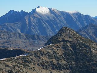 Robinson 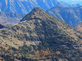 Cone 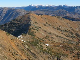 Tatie and the PCT 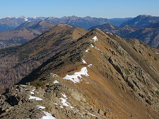 Next, Tatie 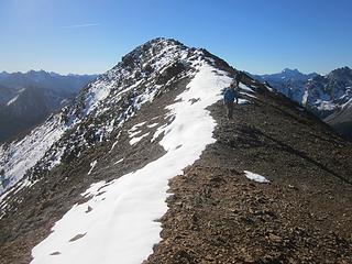 On the way  Larches below 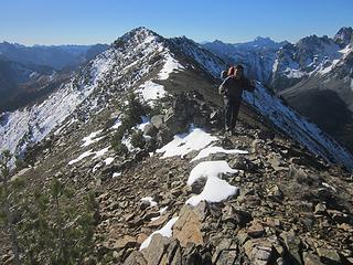 Eusebio 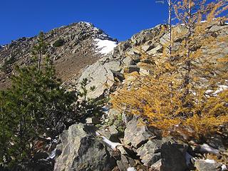 Looking back 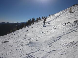 Snow on the North Slope 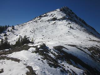 The snow descent 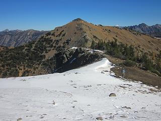 Looking forward to Tatie 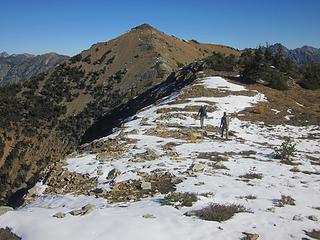 David and James 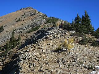 Tatie choss 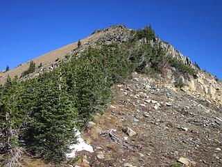 Krummholz 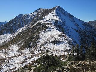 Syncline 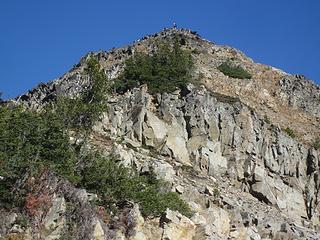 David on Tatie 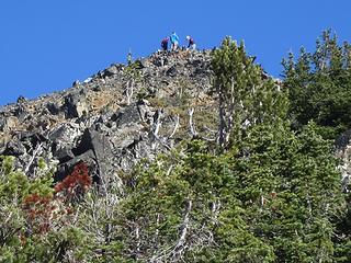 Tatie Party 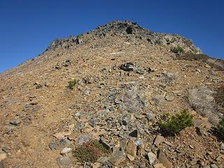 More choss fun 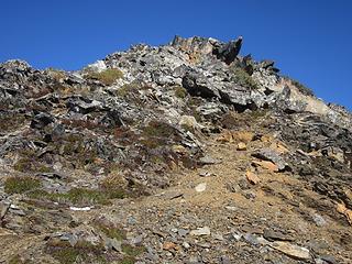 Tatie summit block 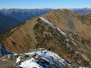 Dickey 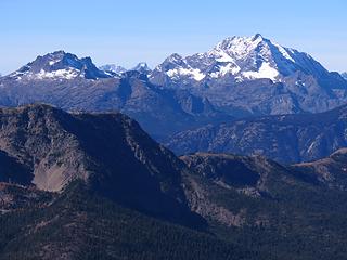 Crater and Jack 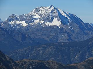 Jack 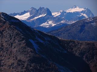 Shuksan 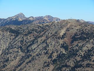 Pasayten Pk, Buckskin Ridge and Slate Pk lookout 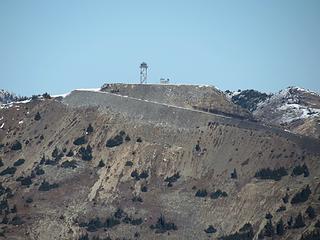 Lookout zoom 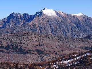 Robinson 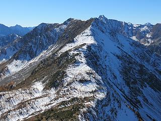 Syncline 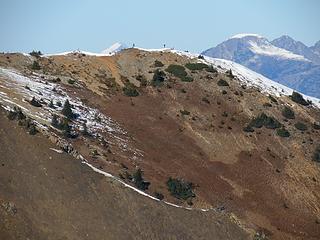 Grasshoppers on Dickey 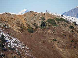 Dickey conquerors 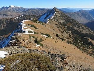 Cone awaits 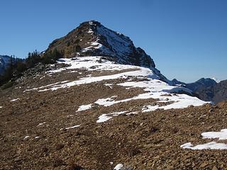 'Bye Tatie 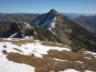 Easy ridge walk 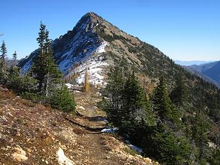 Return to the PCT 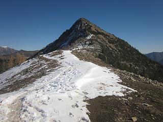 And a bit of trail snow 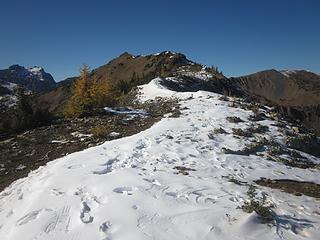 Distant Tatie 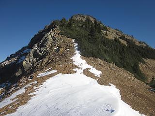 All up now 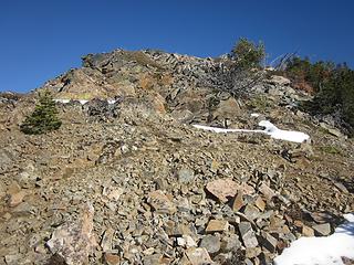 Cone choss 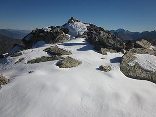 Summit Cone 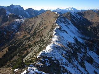 The ridge from Tatie 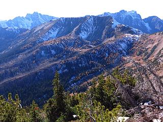 Syncline 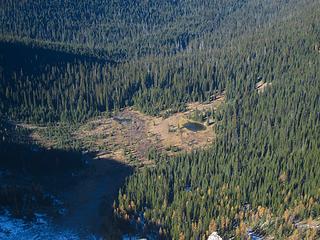 Ninetynine Basin 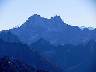 Black Peak 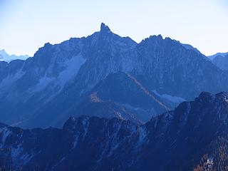 Golden Horn 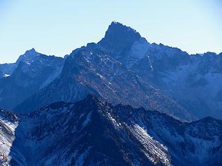 Tower 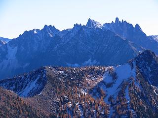 Needles 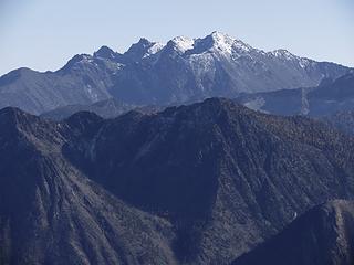 Robinson 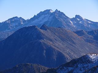 Devils 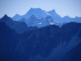 Bonanza 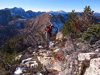 Eusebio arrives on Cone 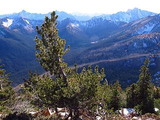 Mountain pine 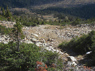 Typical descent slope 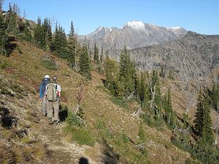 Robinson from the PCT
|
| Back to top |
  
|
|
Ski
><((((°>

Joined: 28 May 2005
Posts: 12831 | TRs | Pics
Location: tacoma |
|
Ski
><((((°>
|
Fri Oct 19, 2018 12:03 am |
|
|
cool! 
"I shall wear white flannel trousers, and walk upon the beach.
I have heard the mermaids singing, each to each."
"I shall wear white flannel trousers, and walk upon the beach.
I have heard the mermaids singing, each to each."
|
| Back to top |
|
|
Brushbuffalo
Member

Joined: 17 Sep 2015
Posts: 1887 | TRs | Pics
Location: there earlier, here now, somewhere later... Bellingham in between |
I love your trip reports and photos, Mr. Larch!
| cartman wrote: | | The skies hadn't quite cleared yet, making for some moody and interesting cloud play on the distant peaks. |
I love blue sky and golden larches, but it's true that clouds can make the scene more interesting.
| cartman wrote: | | for the first time I used a simple firestarter made from ingredients I'd purchased for all of $2 at the dollar store: cotton balls coated with Vaseline. |
You too have discovered the secret firestarter!
Passing rocks and trees like they were standing still
Passing rocks and trees like they were standing still
|
| Back to top |
|
|
JustJoe
Member
Joined: 09 Apr 2006
Posts: 32 | TRs | Pics
|
|
JustJoe
Member
|
Sun Oct 21, 2018 10:57 am |
|
|
Thanks for the great TR. Fantastic photos and very thoroughly documented.
What was the water situation for you guys? Carry-in, melt snow or were streams running?
Thanks again!
|
| Back to top |
|
|
cartman
Member
Joined: 20 Feb 2007
Posts: 2800 | TRs | Pics
Location: Fremont |
|
cartman
Member
|
Mon Oct 22, 2018 7:05 pm |
|
|
For water, all snow. No running water on the route.
|
| Back to top |
|
|
Bernardo
Member

Joined: 08 Feb 2010
Posts: 2174 | TRs | Pics
Location: out and about in the world |
|
Bernardo
Member
|
Mon Oct 22, 2018 7:40 pm |
|
|
A great feast for the eyes. Must have been great in real time.
|
| Back to top |
|
|
Kenji
Member
Joined: 18 May 2010
Posts: 320 | TRs | Pics
Location: Seattle |
|
Kenji
Member
|
Tue Oct 23, 2018 2:52 pm |
|
|
You must be the group of four on Grasshopper Peak, I recognize those tents in the meadow. We were the two coming down the peak. We car-camped below the LO and hiked the Buckskin ridge Sun. Beautiful Fall weekend!
|
| Back to top |
|
|
cartman
Member
Joined: 20 Feb 2007
Posts: 2800 | TRs | Pics
Location: Fremont |
|
cartman
Member
|
Tue Oct 23, 2018 7:51 pm |
|
|
Kenji, I thought that might be you from your Facebook photo but I wasn't sure.
This is you and your partner on the top of Grasshopper:
| cartman wrote: | Fast grasshoppers |
It really was a beautiful weekend. I did Buckskin as part of a 3 day trip with Pasayten Peak a few years ago. The basin above Silver Pass and below Gold Ridge has spectacular larch groves.
|
| Back to top |
|
|
|
|
You cannot post new topics in this forum
You cannot reply to topics in this forum
You cannot edit your posts in this forum
You cannot delete your posts in this forum
You cannot vote in polls in this forum
|
Disclosure: As an Amazon Associate NWHikers.net earns from qualifying purchases when you use our link(s). |


