| Previous :: Next Topic |
| Author |
Message |
rstoddard24
BBQWingz


Joined: 30 Dec 2016
Posts: 74 | TRs | Pics
|
Pinnacle Mountain (Chelan) 8400+
March 15-17, 2019
Philip Bunge and Ryan Stoddard
March 15 Drive to Entiat Sno-Park, xc ski to Cottonwood Trailhead, snowshoe to Snow Brushy Creek camp
March 16 Climb Pinnacle, return to camp
March 17 snowshoe out, ski out, eat Mexican food, drive home
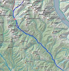 map of route including road ski 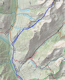 map of route from camp 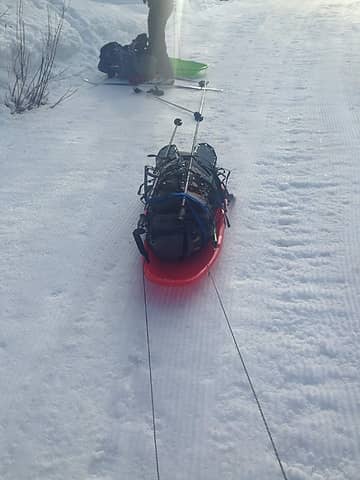 trying to guess the optimum distance 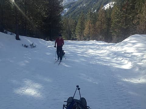 skiing the entiat river road! 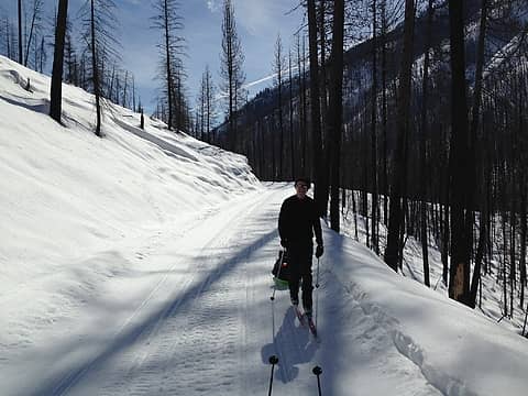 Entering the burn 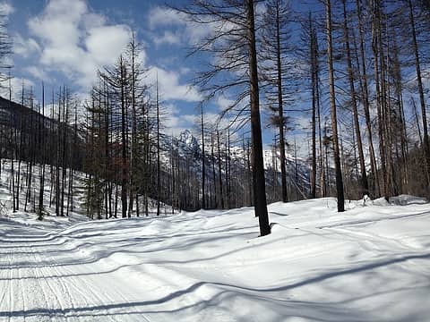 devils smoke stack? 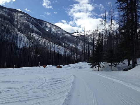 arrived at the TH 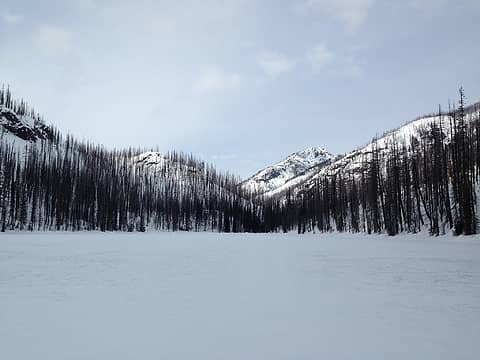 Myrtle lake crossing 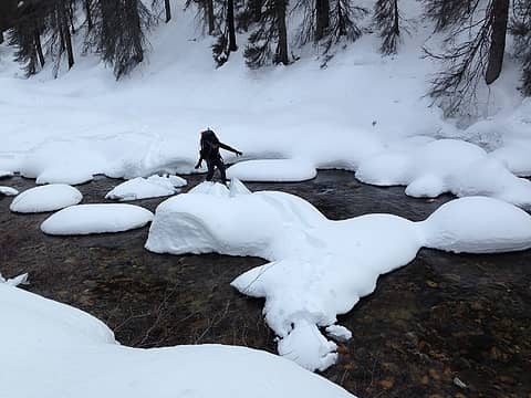 crossing the Entiat River 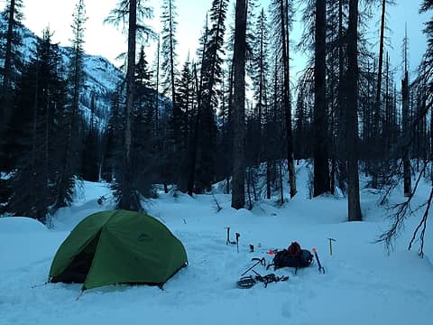 will the Hubba hubba survive another year? 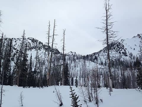 first views of false summit 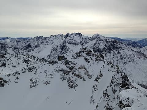 Cardinal group 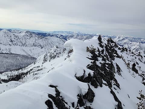 surfing wave cornice 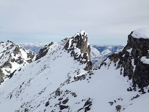 overhanging east face! 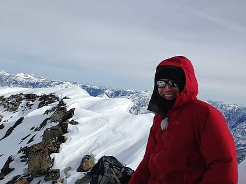 summit! 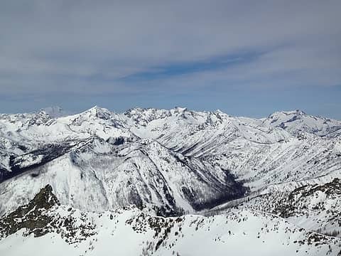 Glacier, Entiats, and Bonanza 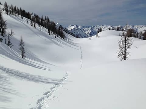 just us and our tracks for miles and miles and miles 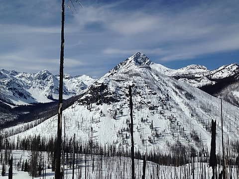 S. Spectacle Butte
|
| Back to top |
  
|
|
Jake Robinson
Member
Joined: 02 Aug 2016
Posts: 521 | TRs | Pics
|
Nice work guys! Great trip idea.
|
| Back to top |
|
|
geyer
Member

Joined: 23 May 2017
Posts: 463 | TRs | Pics
Location: Seattle |
|
geyer
Member
|
 Mon Mar 18, 2019 8:58 am |
|
|
Wow that's a serious haul! Solid trip
|
| Back to top |
|
|
RichP
Member

Joined: 13 Jul 2006
Posts: 5634 | TRs | Pics
Location: here |
|
RichP
Member
|
Mon Mar 18, 2019 6:11 pm |
|
|
I'm looking at some of these to combine the best of snowshoeing and skiing for trips like this.
https://altaiskis.com
|
| Back to top |
|
|
puzzlr
Mid Fork Rocks

Joined: 13 Feb 2007
Posts: 7220 | TRs | Pics
Location: Stuck in the middle |
|
puzzlr
Mid Fork Rocks
|
Wed Mar 20, 2019 9:00 pm |
|
|
Way to go figuring out how to get that long road section done. I like your ambition for getting far out this time of year.
|
| Back to top |
|
|
|
|
You cannot post new topics in this forum
You cannot reply to topics in this forum
You cannot edit your posts in this forum
You cannot delete your posts in this forum
You cannot vote in polls in this forum
|
Disclosure: As an Amazon Associate NWHikers.net earns from qualifying purchases when you use our link(s). |


