Matt Lemke
High on the Outdoors


Joined: 15 Jul 2010
Posts: 2052 | TRs | Pics
Location: Grand Junction |
|
Matt Lemke
High on the Outdoors
|
 Mon Apr 15, 2019 10:17 pm |
|
|
Cerro El Plomo Attempt
After Elaine and I hiked Volcan Quetrupillan, we took the night bus back north to Santiago. We found a cheap car rental on Av Bellevista near Plaza Baquedano in Santiago, and drove out to the big ski resorts near Farellones to the northeast of the city. Here, in the high Andes east of Santiago we would begin our long acclimatization process for our big prize of climbing in the Cordillera Real in Bolivia. We made an attempt on Cerro El Plomo by taking the popular trail from La Parva up the various hiking and bike trails up the dry ski slopes east to the saddle just below Cerro Parva. The trail then made a series of ups and downs crossing a couple broad ridges then curved northward into the wide valley south of El Plomo to the Piedra Numerada camp where we set up the tent at the nice meadow at an elevation of 3400 meters. Views north of El Plomo were really cool, and Cerro Bismarck just above us to the east with its' terrible looking scree slopes made me a little sick just thinking about it.
Elaine got a little sick that night since we went up 3300 meters in one afternoon and slept. The next morning we continued up to the Campo Federacion (high camp), slowly walking our way northward up the trail to an elevation of 4300 meters. We were greeted to many other climbers camped in a large area with dozens of rock shelters. The wind was picking up and it was getting colder. We found an unused rock shelter and pitched the tent and we relaxed as much as we could for the afternoon. We were both feeling the elevation at this point and we went to bed early.
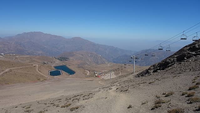 Ski lifts at La Parva 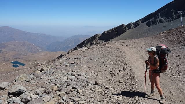 Arriving at the pass between Valle Nevado and La Parva 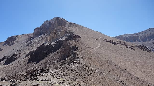 Cerro Parva 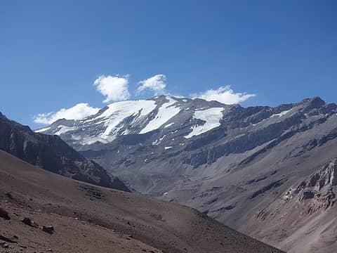 El Plomo 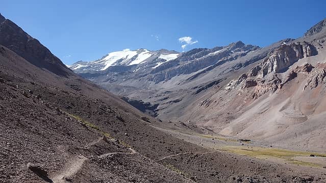 First view of El Plomo; Piedra Numerada at bottom right 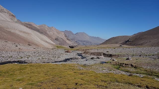 Meadow at Piedra Numerada camp 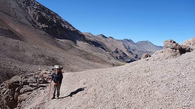 Leaving Piedra Numerada camp 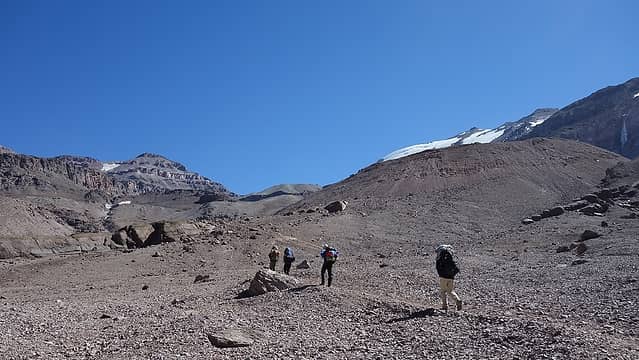 Hiking from Piedra Numerada to Camp Federacion 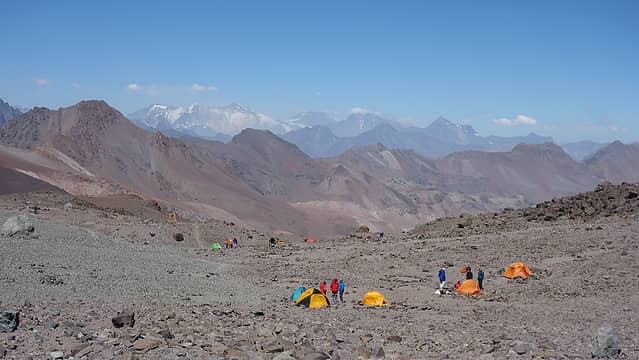 Other campers at the Federacion Camp 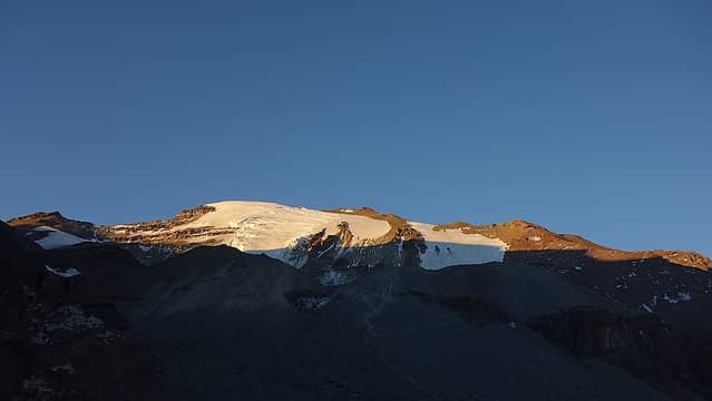 El Plomo 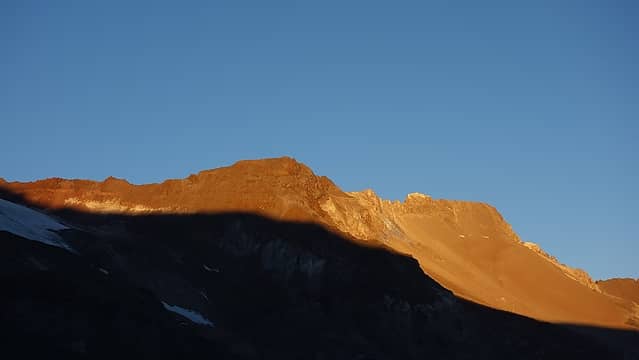 Sunset on the High Andes 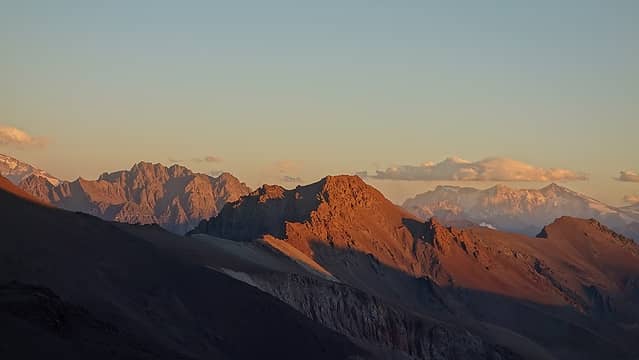 Sunset on Cerro Bismark from Camp Federacion 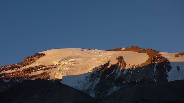 Sunset on Cerro El Plomo 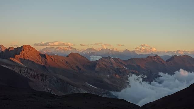 Sunset from the Federacion Camp 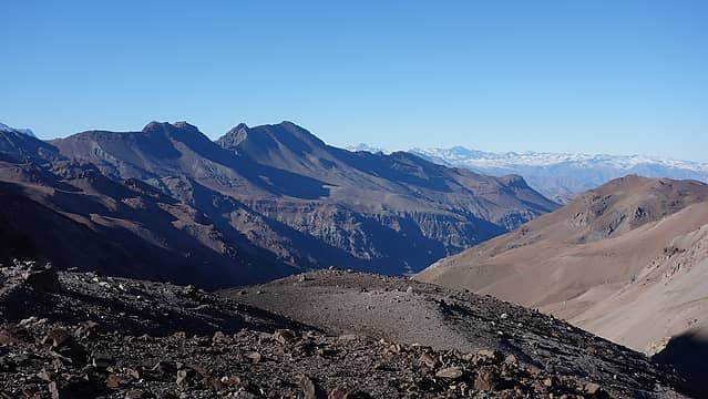 Cold morning 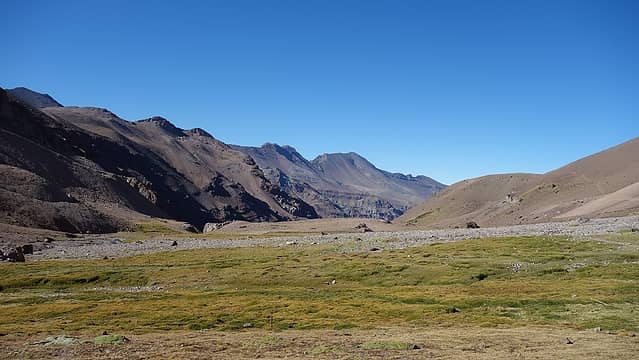 Meadows at Piedra Numerada 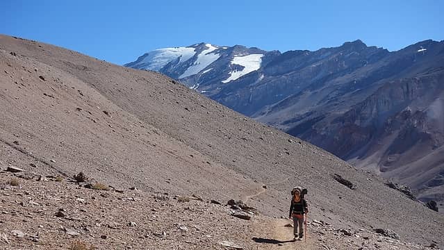 Last view of Cerro El Plomo...until next attempt! 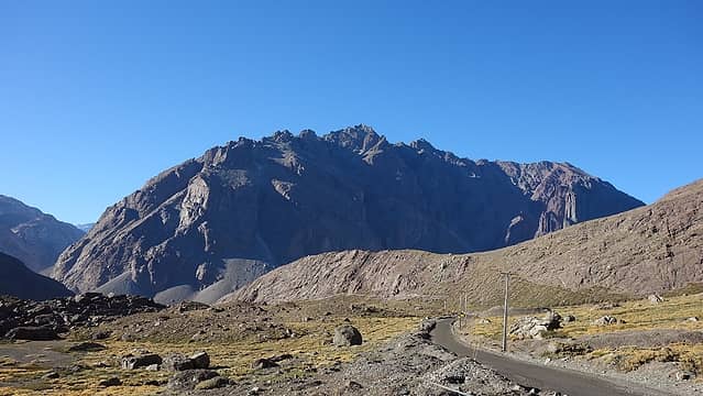 Walking up the jeep road into Las Arenas Valley 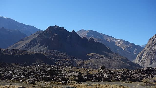 The boulders of Choriboulder closed by the mine 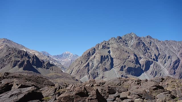 View SE from Valle Las Arenas 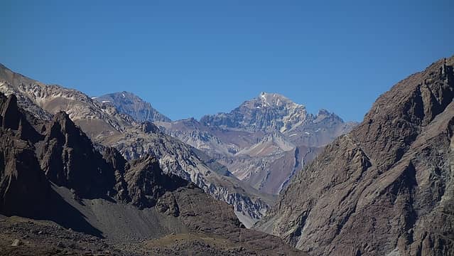 Cerro Colina in the distance 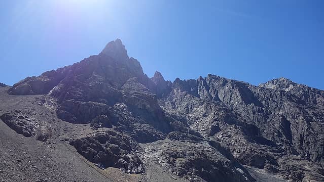 Looking up at Cerro Arenas 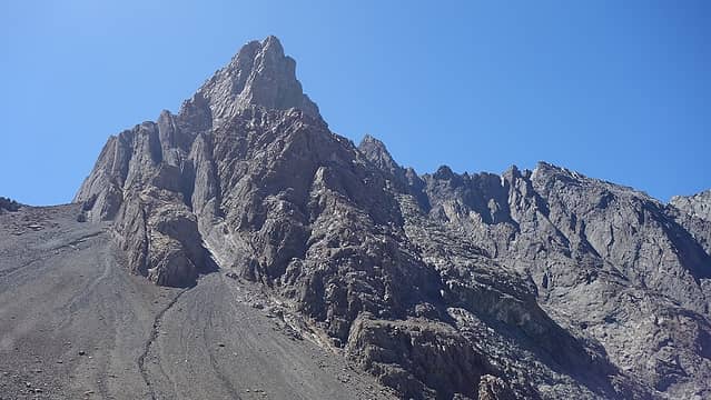 Cerro Arenas SE Face 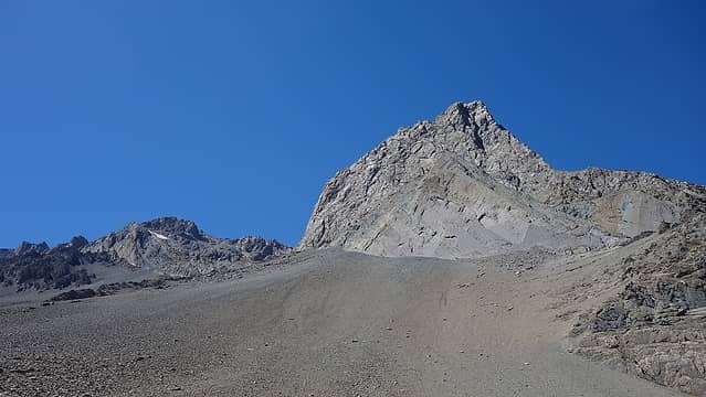 Cerro Arenas east face 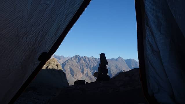 Tent view 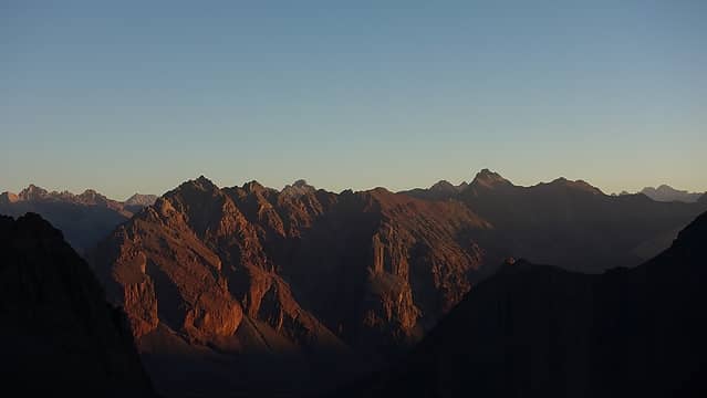 Sunset from camp 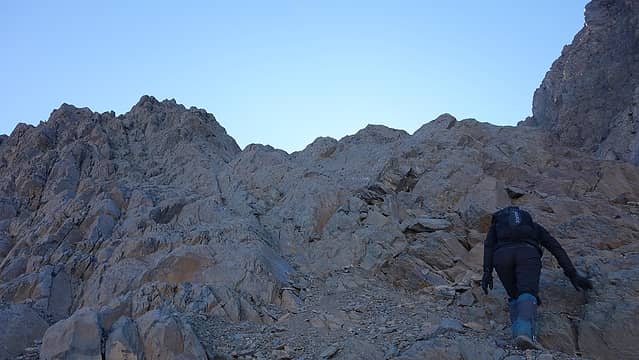 Scrambling up some of the lower rock outcrops 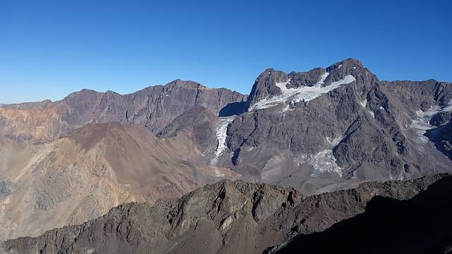 Cerro Morado to the west 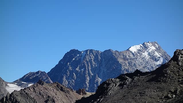 Cerro Meson Alto off to the north 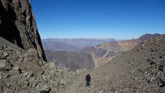 The flat spot halfway up 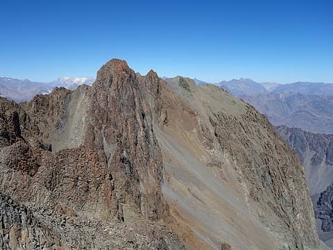 North side of Cerro Arenas 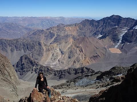 Elaine climbing 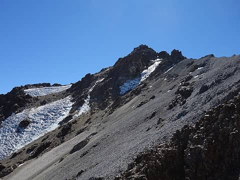 The summit of Placas finally in view 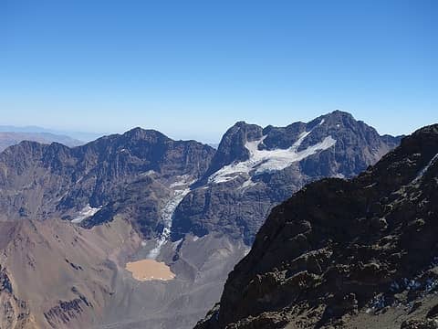 Cerro Morado 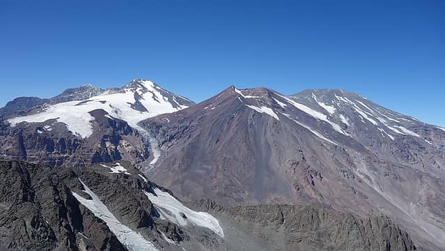 Volcan San Jose (right) and Marmolejo (left) 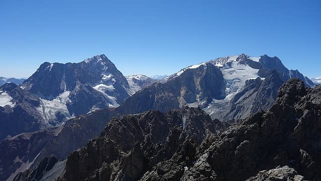 Cerro Cortaderas (right) and Meson Alto (left) from the summit 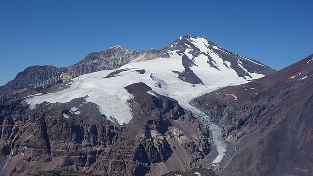 Cerro Marmolejo 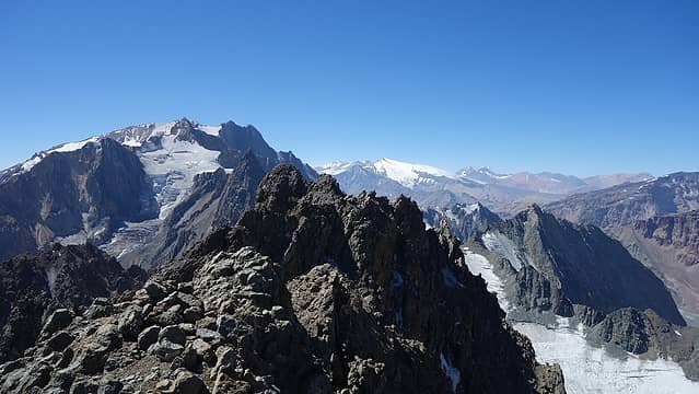 Summit view north 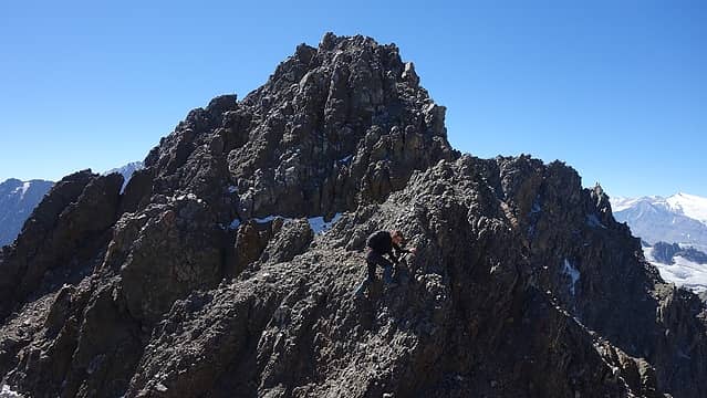 A view of the final class 4 summit scramble 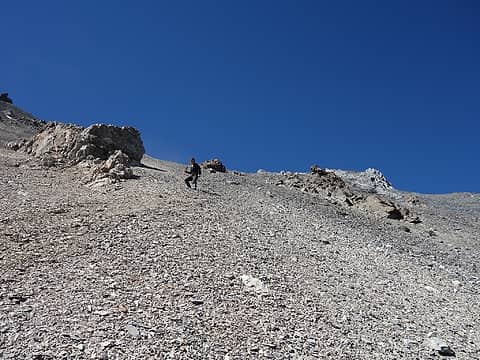 Scree! 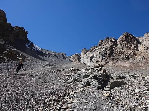 Elaine scree skiing! 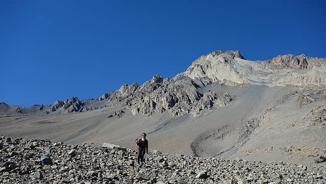 Lots of scree 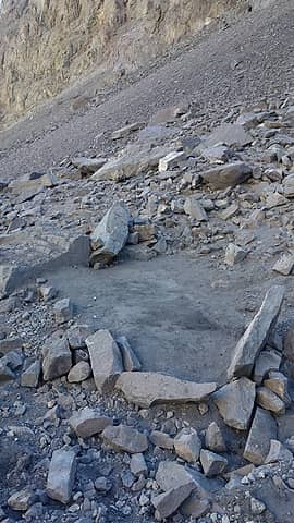 Our tent platform I doctored up 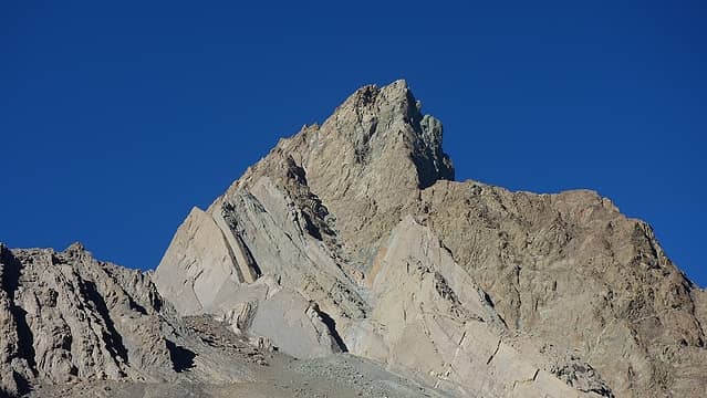 Afternoon light on Cerro Arenas 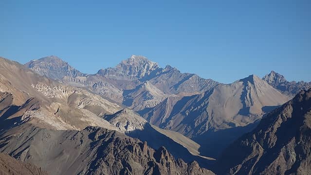 Cerro Colina off to the SE 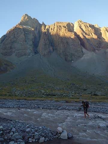 Crossing the river again 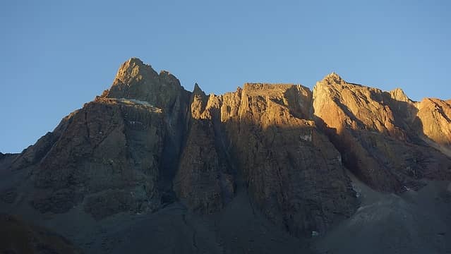 Sun setting over Cerro Arenas 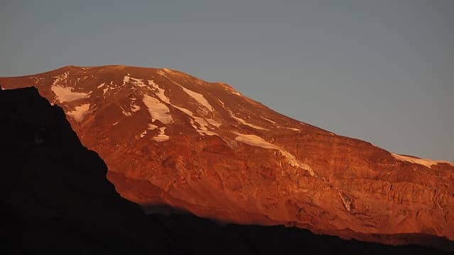 Alpenglow on Volcan San Jose 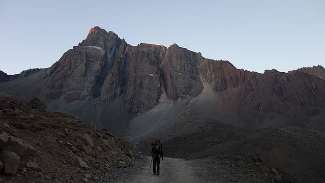 Walking the road nearing the car 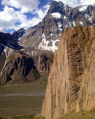 Cerro Arenas with the Fondo Marino cliffs in the foreground 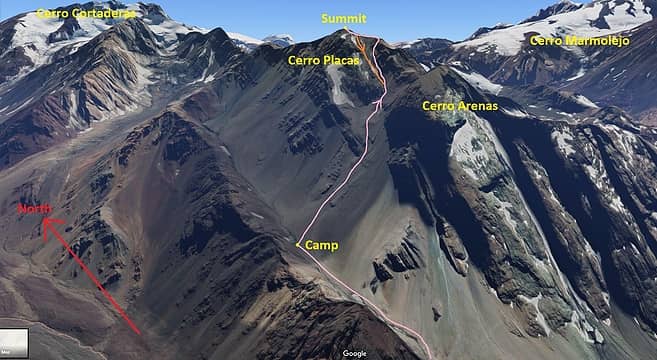 Cerro Placas SW Face Route Topo - Class 4
|


