| Previous :: Next Topic |
| Author |
Message |
Matt Lemke
High on the Outdoors


Joined: 15 Jul 2010
Posts: 2052 | TRs | Pics
Location: Grand Junction |
|
Matt Lemke
High on the Outdoors
|
 Sat Jul 27, 2019 10:50 pm |
|
|
Going back now to April 2018, Illimani would be the last big mountain objective Elaine and I would embark on during our 4 months in South America last year. After successfully ascending Pequenyo Alpamayo and Huayna Potosi in the preceding couple weeks, we were finally acclimated enough for Illimani, which sits at at elevation of 6438 meters, which sits just 104 meters lower than Sajama, the highest mountain in Bolivia in a completely different part of the country. Illimani is so special though because it towers so brilliantly above the capitol city of La Paz, and we would see its grandeur every day while exploring around the city. During one of our rest days after Huayna Potosi, I decided to head off with a couple new friends we made from our hostel to Valle de La Luna, which is a small canyon with a maze of deep chasms and hoodoos sitting right next to a nicer neighborhood just south of the La Paz city center. A quick collectivo ride and we were there, and we enjoyed a scenic walk exploring the interesting landforms.
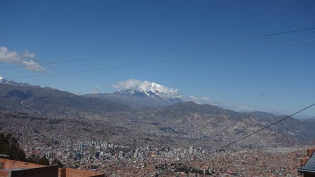 Illimani towers above La Paz  Valle de La Luna 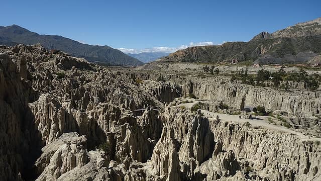 Many hoodoos 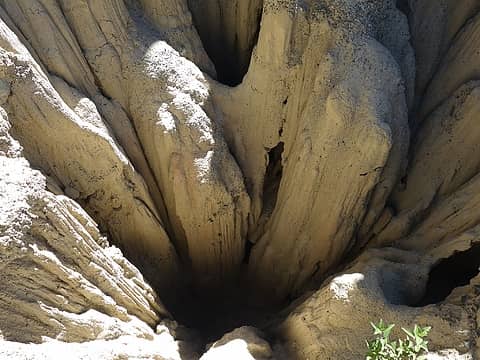 Deep chasms  Hiking through grazelands with our burros 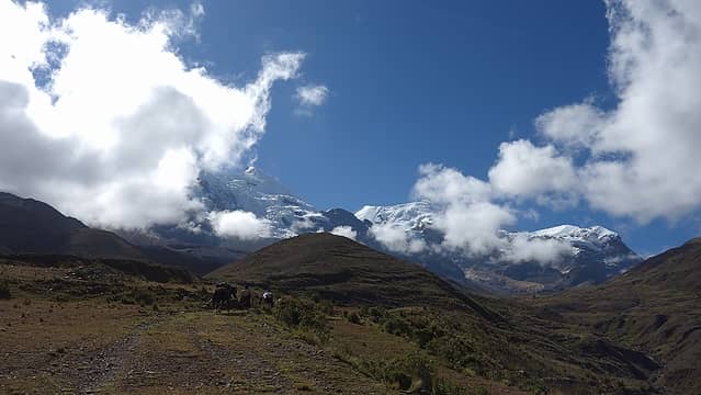 Illimani mostly clear above 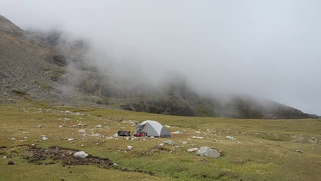 Some passing clouds in early afternoon at base camp 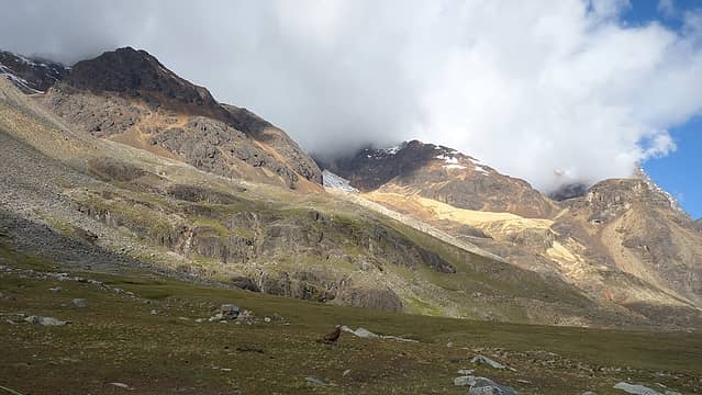 Lower slopes of Illimani right above base camp 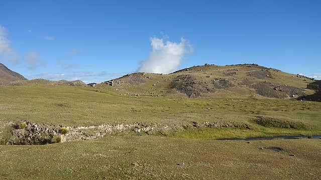 Clearing later in the afternoon 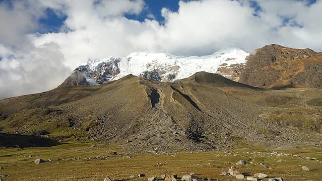 West face of Illimani from base camp 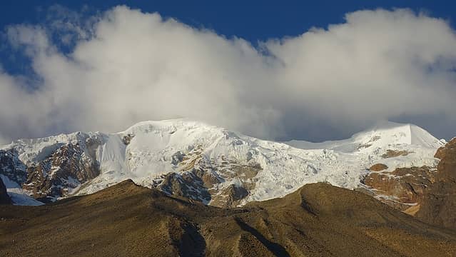 Completely clear; summit is the one on the right 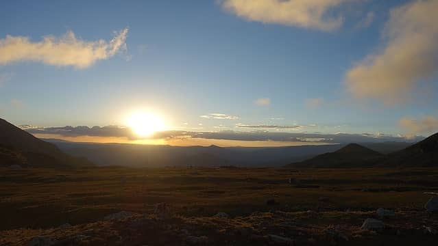 Sunset from the tent 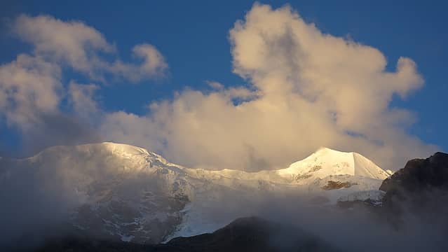 Last light on Illimani 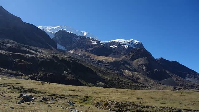 Morning view from base camp; the ridge we ascended goes up in middle of photo 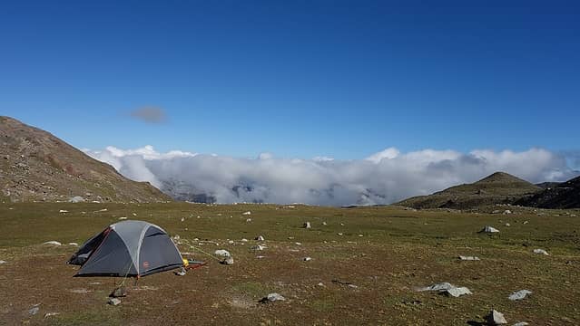 Beautiful base camp 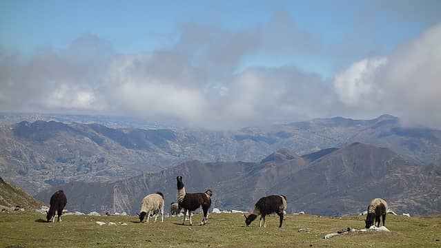 Our only neighbors at base camp 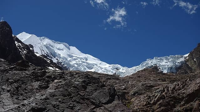 Hiking to the base of the west ridge 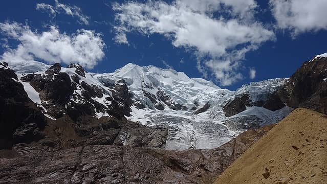 Looking up at the false summit of Illimani 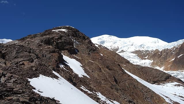 Cresting the lower west ridge 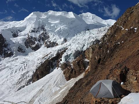 This is where we decided to camp! I cannot imagine a better camp view 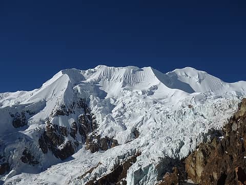 Illimani from the tent 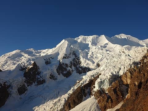 Afternoon sun on Illimani 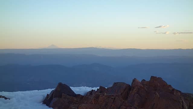 That's Sajama way out there to the west...the highest mountain in Bolivia 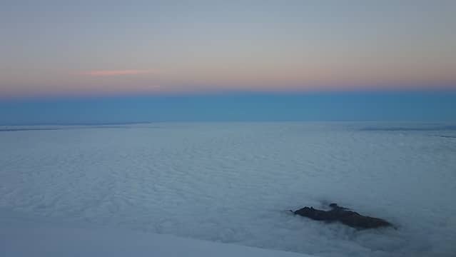 Twilight begins with a low layer of clouds 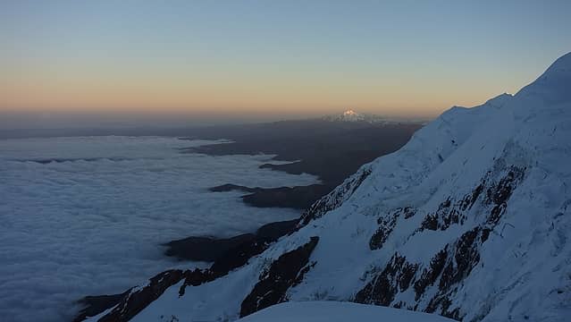 First rays of sun hit Huayna Potosi to the NW 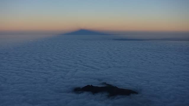 The shadow cast by Illimani at sunrise 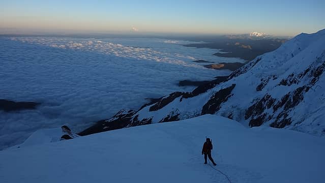 Elaine questioning her life choices... 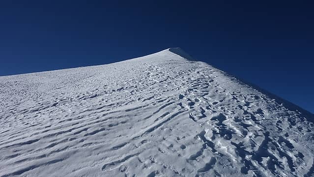 Looking up the final bit on the summit ridge 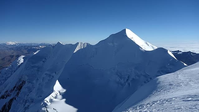 View of the lower south summit from where we crested the ridge 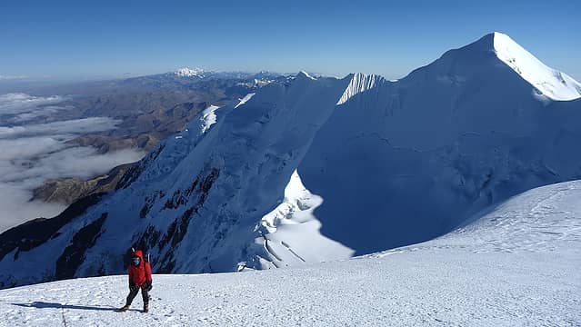 Elaine making her way up the summit ridge 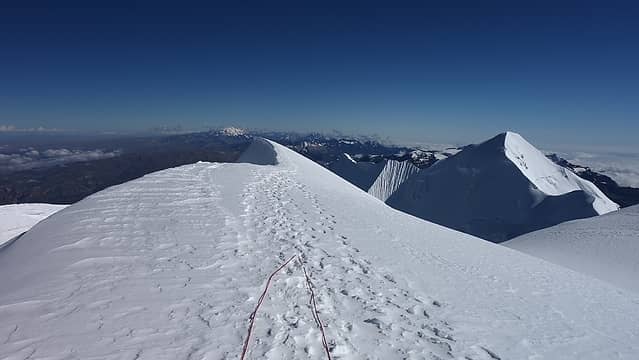 View north from the summit 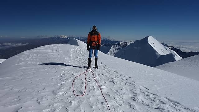 Myself on the summit of Illimani 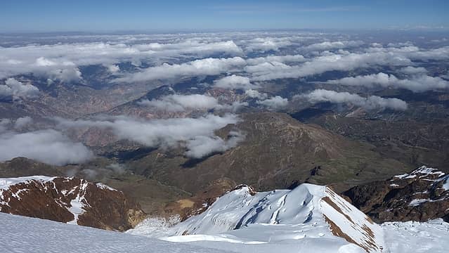 Looking down the route we ascended as the clouds part out below 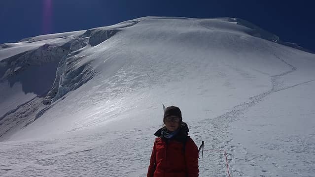 Descending Illimani 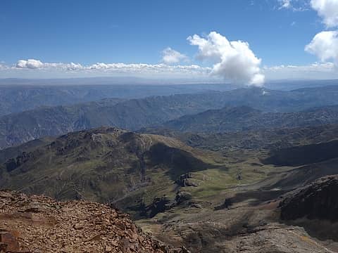 View down to base camp from our tent at high camp 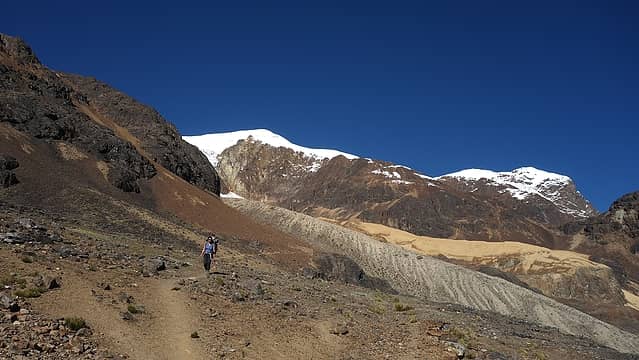 Hiking the nice trail now off the west ridge 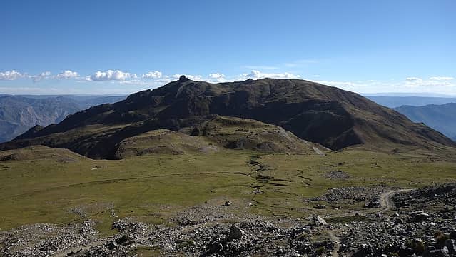 Nearing base camp once again...that's one big field 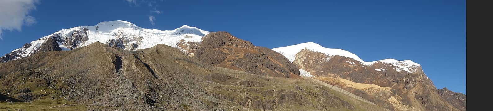 Illimani afternoon panorama 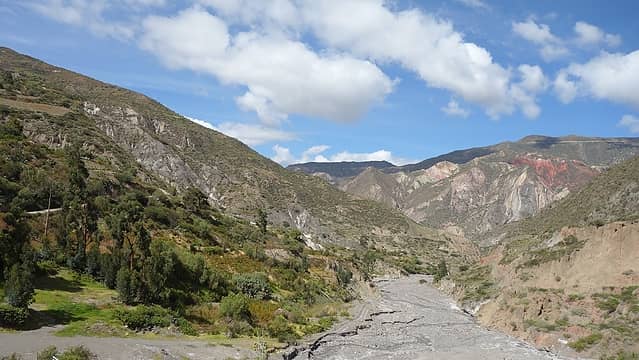 Views from the collectivo ride back to La Paz 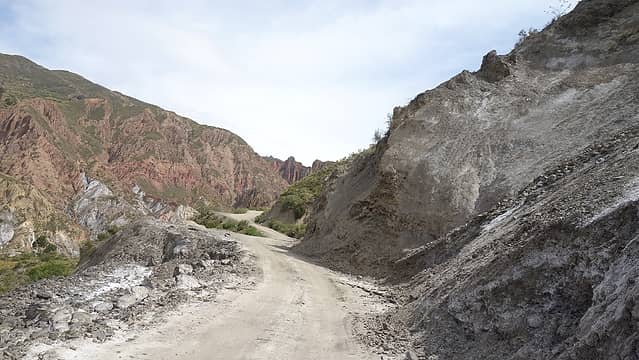 More road views 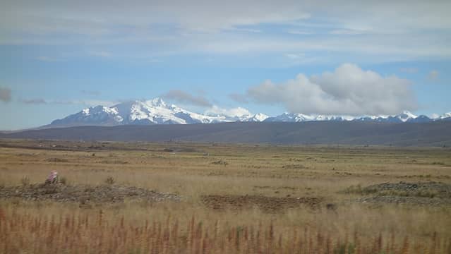 Cordillera Real seen from the Highway 2 road from La Paz to Lake Titicaca 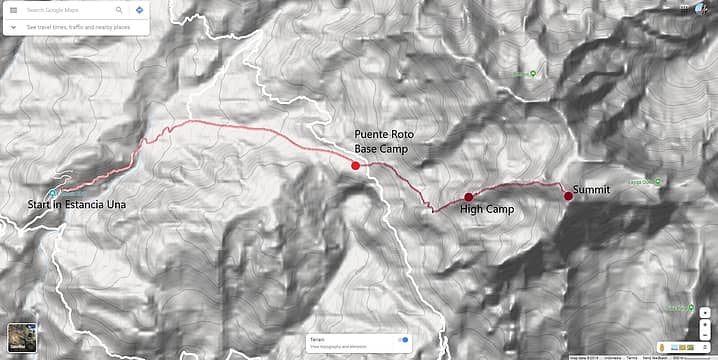 Illimani Route Map 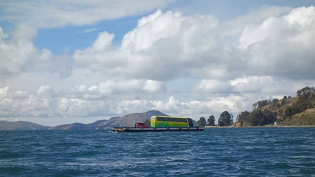 Taking the ferry across the lake; since the buses sometimes just fall into the lake off the barge, the passengers always take a separate boat! 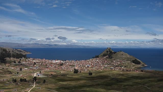 View of Copacabana where we would take the boat to Isla del Sol 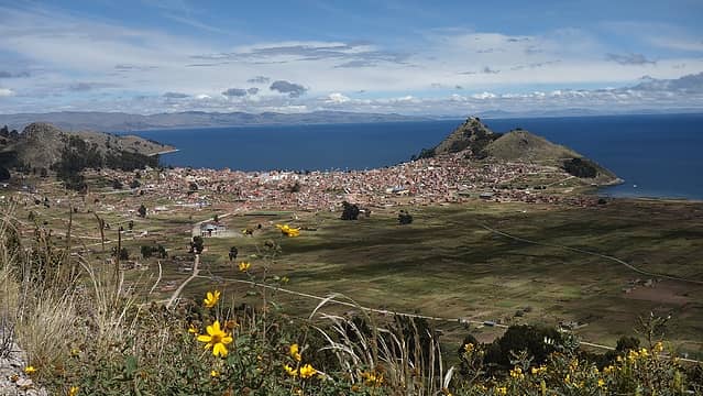 Looking down on Copacabana 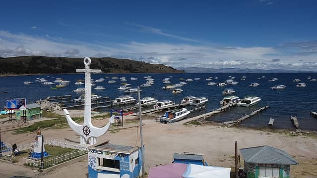 Boat docks in Copacabana 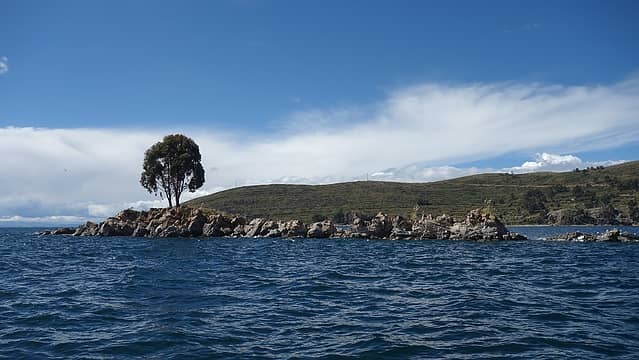 Boating to Isla del Sol 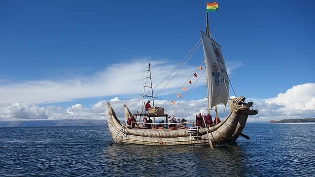 Native style boats used by the ancient peoples of Lake Titicaca 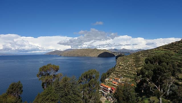 View from Isla del Sol 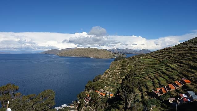 Walking up the trails on Isla del Sol 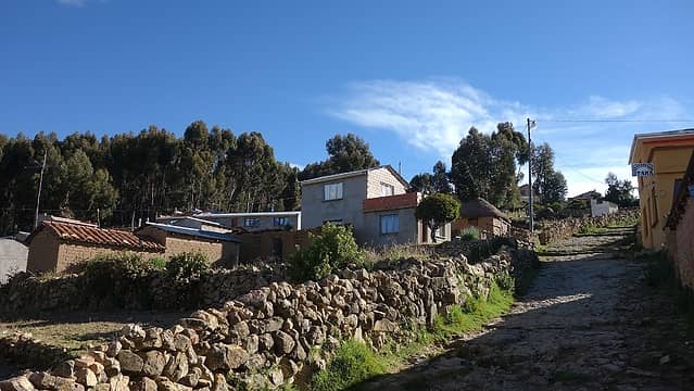 Village on Isla del Sol 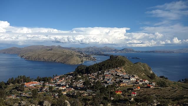 View of the village from the nice trail to the top 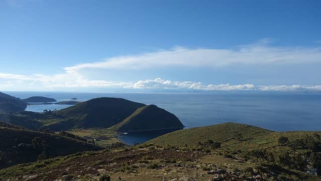 View to the west from the highpoint...Lake Titicaca is expansive! 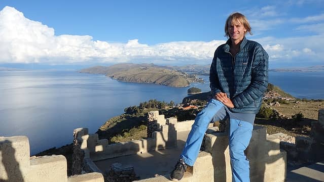 Myself enjoying the view; Cordillera Real under clouds behind 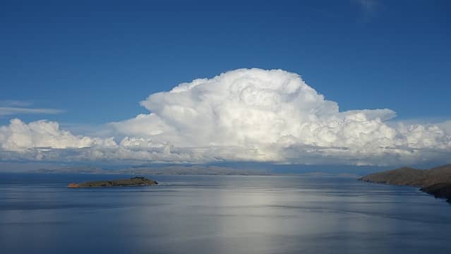 Storms over the Cordillera Real off to the east 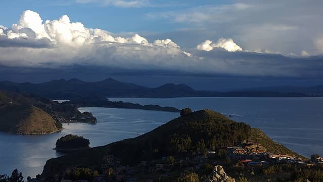 Eerie lighting to the east 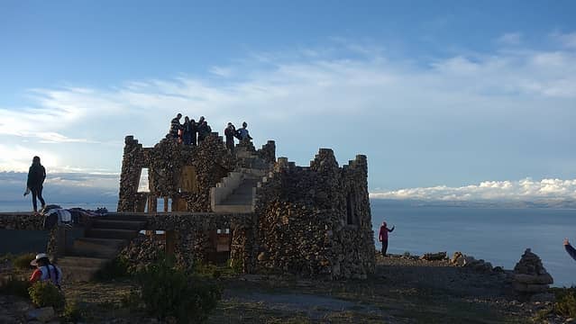 This structure was on the highpoint of the island 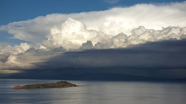 Incredible view 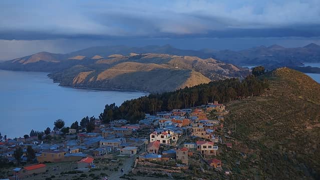 This was my favorite from the island; last rays of sunset light glow on the village on Isla del Sol 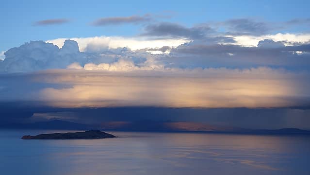 I guess it's called Isla del Sol for a reason! 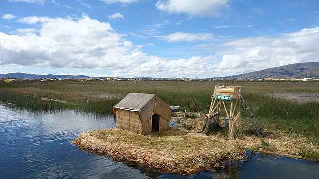 Island made of straw that grows in the shallow waters of the lake 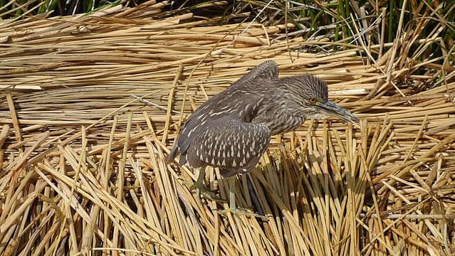 Typical pets on the straw islands 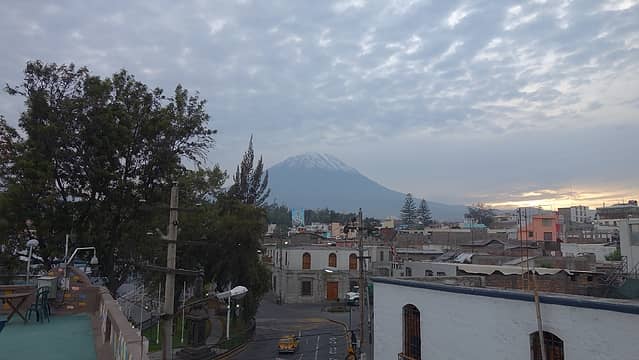 Volcan Misti towers above Arequipa 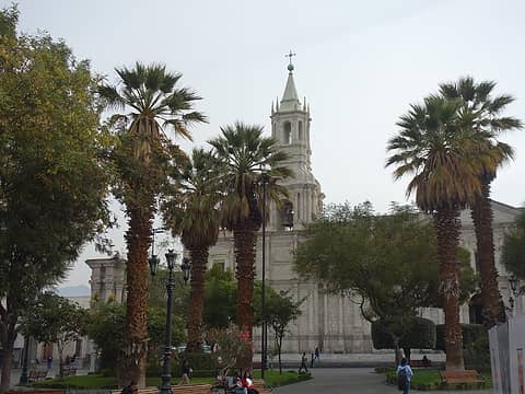 Plaza de Armas in Arequipa 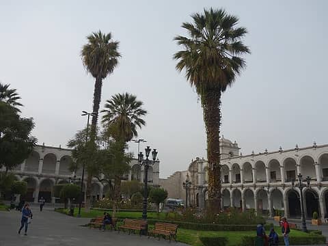 Architecture in Arequipa was stunning 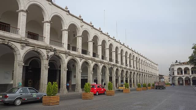 Straight otta Spain... 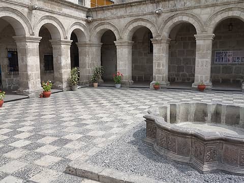 A very cool looking courtyard 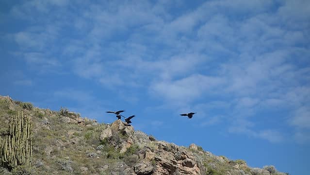 Condors take flight seen from the drive to Colca Canyon 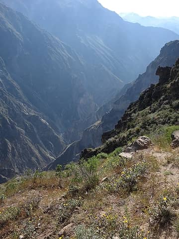 Colca Canyon is actually quite large 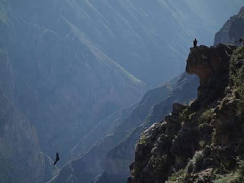 Condors 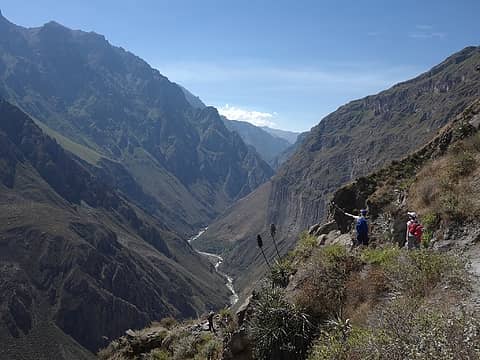 View down into the canyon 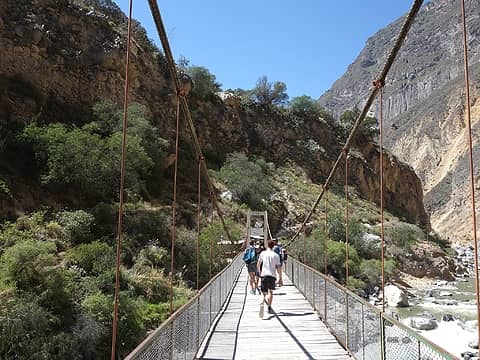 Crossing the bridge at canyon bottom, about 5000 feet down. That was a knee jerking descent! 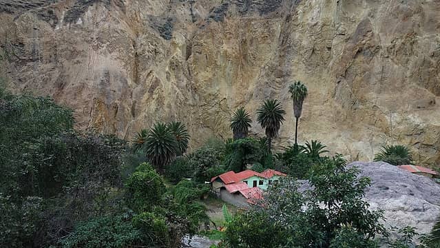 Our little oasis for the night 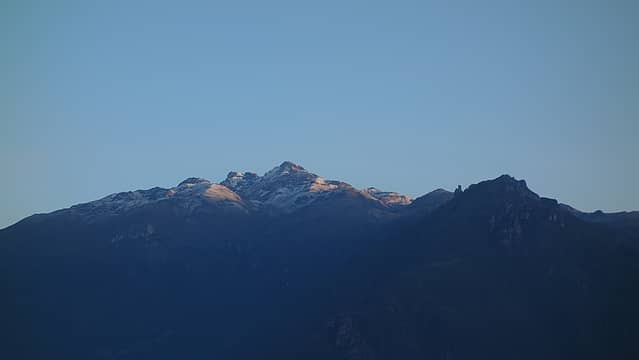 Sunrise from the canyon rim the next morning; we started hiking up really early 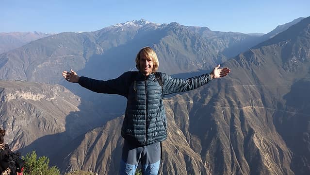 Enjoying the views from the rim of Colca Canyon 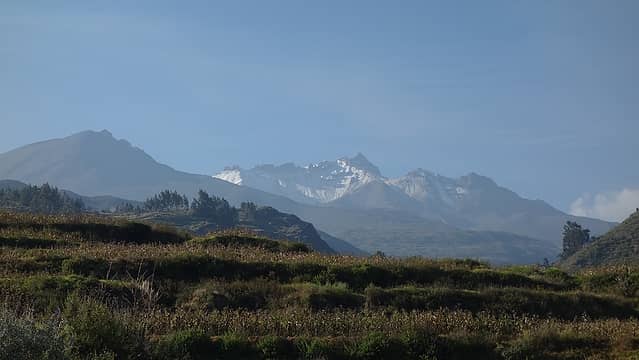 The mountains were still calling me 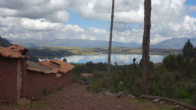 Where our taxi dropped us off on the east ens of Laguna Piuray 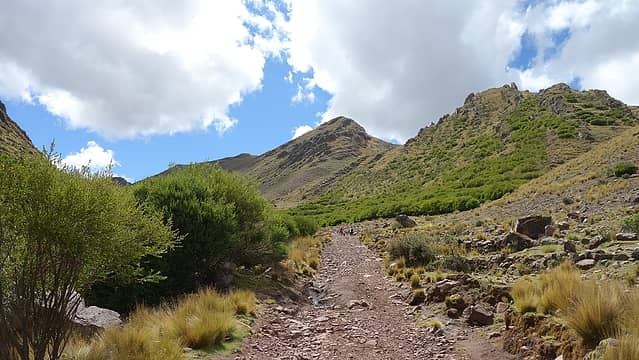 Hiking into the nice valley 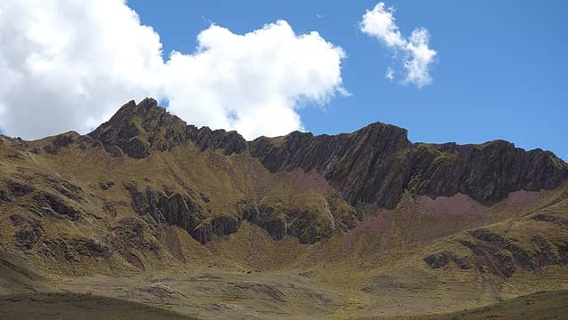 Somewhat rugged peaks at the head of the valley top out at 4520 meters 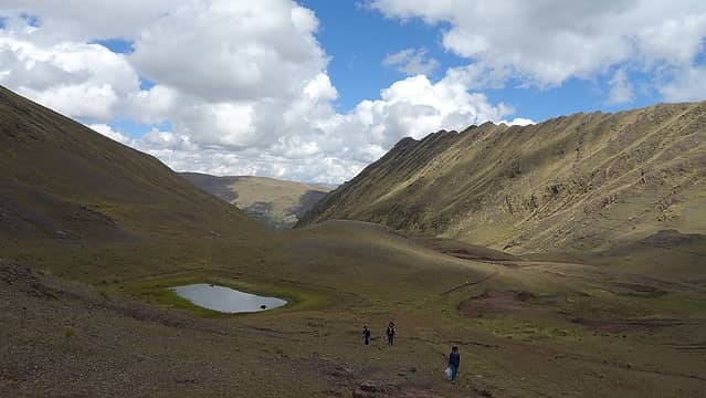 Hiking up to the pass 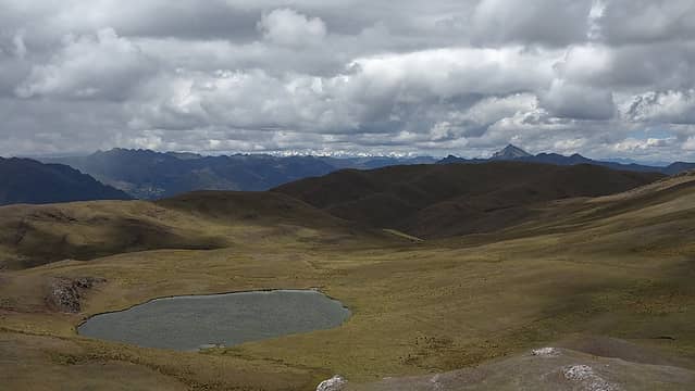 Beautiful lagoons amidst the high elevation grasslands 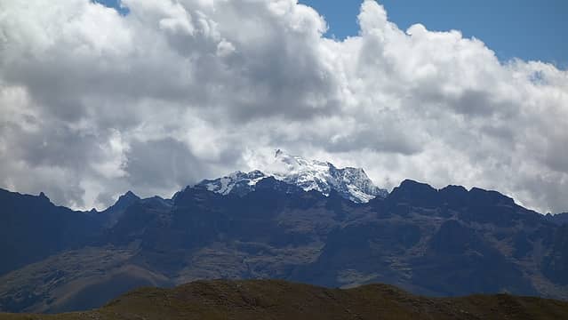 Looking into the rugged Cordillera Urubamba; I think this peak is Nevado Colque Cruz (Sahuasiray) at 5750 meters 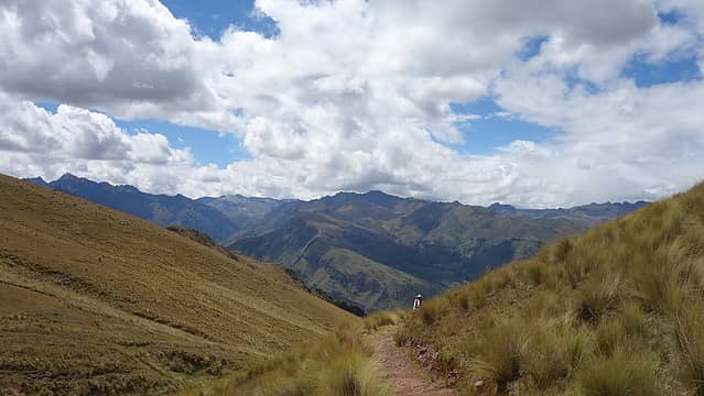 Descending towards Rio Urubamba 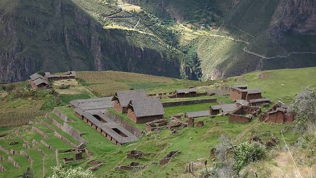 Descending onto Little Cusco Inca ruins 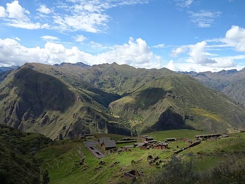 Such a perfect setting; hiking to the ruins from above was so cool! 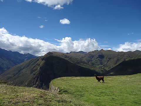 Open field in the center of the ruins 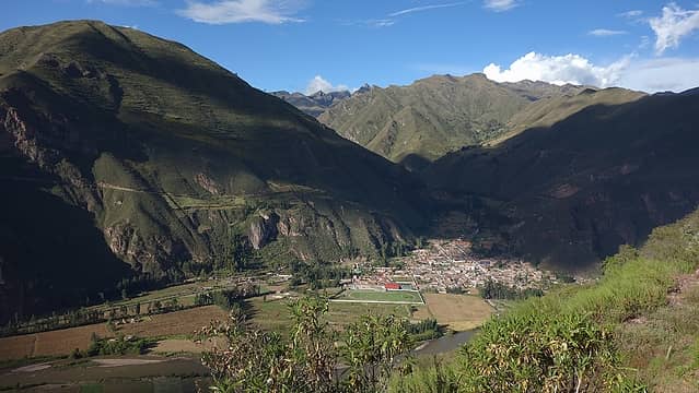 View down to Lamay where we would catch a van back to Cusco. The hike down was steep but a nice trail 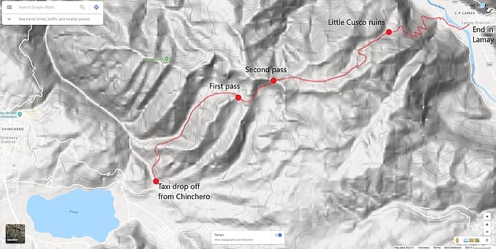 Map of the route to Little Cusco that you can do as a point to point hike
|
| Back to top |
  
|
|
RichP
Member

Joined: 13 Jul 2006
Posts: 5634 | TRs | Pics
Location: here |
|
RichP
Member
|
Mon Jul 29, 2019 4:36 pm |
|
|
Another great adventure, Matt. Isla del Sol is a fantastic place to visit. Have you figured out which South American country is your favorite?
|
| Back to top |
|
|
iron
Member

Joined: 10 Aug 2008
Posts: 6392 | TRs | Pics
Location: southeast kootenays |
|
iron
Member
|
Mon Jul 29, 2019 4:49 pm |
|
|
|
| Back to top |
|
|
Ski
><((((°>

Joined: 28 May 2005
Posts: 12831 | TRs | Pics
Location: tacoma |
|
Ski
><((((°>
|
Mon Jul 29, 2019 6:53 pm |
|
|
fabulous.  thanks Matt!
"I shall wear white flannel trousers, and walk upon the beach.
I have heard the mermaids singing, each to each."
"I shall wear white flannel trousers, and walk upon the beach.
I have heard the mermaids singing, each to each."
|
| Back to top |
|
|
fffej50
Member

Joined: 13 Oct 2007
Posts: 65 | TRs | Pics
Location: poulsbo |
|
fffej50
Member
|
Tue Jul 30, 2019 5:22 pm |
|
|
double that ! I appreciate do it yourself adventures.... spent the last 5 weeks in northern Peru bein dirtballs .... hasta luego.
|
| Back to top |
|
|
Bernardo
Member

Joined: 08 Feb 2010
Posts: 2174 | TRs | Pics
Location: out and about in the world |
|
Bernardo
Member
|
Wed Jul 31, 2019 7:50 pm |
|
|
Very nice, thanks for writing this up! What natural beauty!
|
| Back to top |
|
|
Matt Lemke
High on the Outdoors
Joined: 15 Jul 2010
Posts: 2052 | TRs | Pics
Location: Grand Junction |
|
Matt Lemke
High on the Outdoors
|
Sat Aug 03, 2019 1:53 pm |
|
|
| RichP wrote: | | Another great adventure, Matt. Isla del Sol is a fantastic place to visit. Have you figured out which South American country is your favorite? |
I would probably have to say Chile, but it's a toss up. Chile is just so wild and unspoiled.
Peru and Bolivia are also so incredible in different ways though. The Andes in my opinion is easily one of the top 3 grandest mountain ranges in the world, along with the Himalaya and the North American Coast Range.
|
| Back to top |
|
|
Get Out and Go
Member

Joined: 13 Nov 2004
Posts: 2128 | TRs | Pics
Location: Leavenworth |
"These are the places you will find me hiding'...These are the places I will always go."
(Down in the Valley by The Head and The Heart)
"Sometimes you're happy. Sometimes you cry.
Half of me is ocean. Half of me is sky."
(Thanks, Tom Petty)
|
| Back to top |
|
|
Matt Lemke
High on the Outdoors
Joined: 15 Jul 2010
Posts: 2052 | TRs | Pics
Location: Grand Junction |
|
Matt Lemke
High on the Outdoors
|
Sat Aug 03, 2019 8:02 pm |
|
|
| Get Out and Go wrote: | | What was your filtration of choice? |
We actually didn't need to filter the water, we just used some purification tablets. They work well!
|
| Back to top |
|
|
|
|
You cannot post new topics in this forum
You cannot reply to topics in this forum
You cannot edit your posts in this forum
You cannot delete your posts in this forum
You cannot vote in polls in this forum
|
Disclosure: As an Amazon Associate NWHikers.net earns from qualifying purchases when you use our link(s). |


 Great photos and great look-into the adventures of public transport "
 Appears you had a water source you shared with the llamas in your basecamp. What was your filtration of choice? (I already had my giardiasis experience in Peace Corps-Paraguay, cuz I was young and tough as nails!?
  ) Your report exemplifies why NWHikers should never limit Trip Reports to the NW.