| Previous :: Next Topic |
| Author |
Message |
Brushbuffalo
Member


Joined: 17 Sep 2015
Posts: 1887 | TRs | Pics
Location: there earlier, here now, somewhere later... Bellingham in between |
August 30, 2019. On my way to Iron Gate trailhead over Labor Day weekend to hike in the Horseshoe Basin-Windy Peak area with friends, I headed up to two sites of former lookouts: Muckamuck Mountain, a 1.5 mile easy cross country hike from FS37 east of Baldy Pass, and Corral Butte, a 1/2 mile walk on the abandoned road from FS39. All of the open roads are Prius friendly...not saying I drive a Prius!
First, Muckamuck (may mean "cow pie" in some language or other). This is a fun, easy hike to a spot with an interesting name, and a Fay register!
Take the Forest Service Road 37 from the East Chewuch Road north of Winthrop (or come in from the east via Conconully). At the junction of 37 and 39, turn right ( easterly) on 37, go over Baldy Pass, and park just past mile 11 along FS37 at approximately 5050'. Just head uphill, soon crossing a sturdy barbwire fence (this is cattle country), and hike through open woods and sage meadows to the north to just south of the ridge that leads east to Muckamuck. Travel is easy but when you reach the burned area along the ridge top, I recommend staying below (south) of the ridge top to avoid many downed, charred logs. The rounded summit was in an unburned area (2019) and remnants of the old trail are evident. There is a Fay register placed in November 2018. If visibility is restricted on the return hike be sure to traverse in a westerly direction from the summit until you return to the ponderosa forest, rather than descending too soon. Your road is far south of the summit, but close toward the southwest. On descent for probably 1/2 mile I traversed a steep sage/grass meadow at about 6100 feet on cattle trails that the cows 'maintain' as well or better than many human-maintained routes (but of course I was dodging pies along the way  ). ).
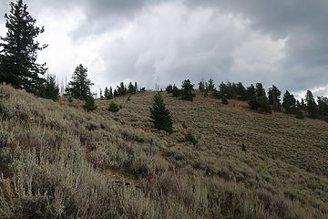 easy hiking 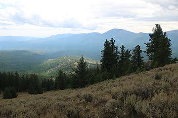 Granite Mountain in distance, another former LO site. You can also see FS37 as it wanders far south of Muckamuck from the place you probably left the road. This is why on your return you want to traverse west before dropping down in the forest. 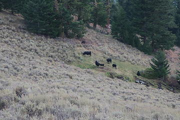 "wildlife" 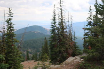 looking southeast 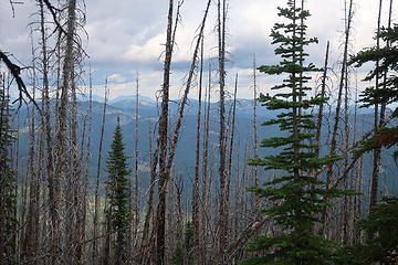 burned on the north side of the ridge 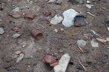 can dump near top 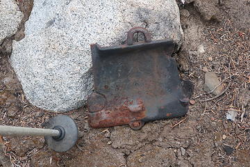 firebox door  cut stumps near top 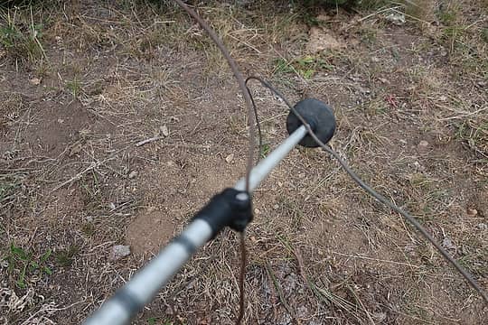 phone wire 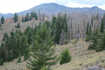 looking back to west....stay south (left) of burned area on ridge crest. Mt. McCay in distance. 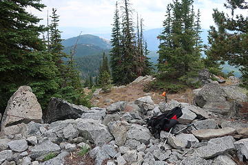 lookout site set on granite base. Just above my pack is an orange waterproof match case that held Fay's register, placed on 11/13/18. The lookout was a cupola cabin built in 1922 and destroyed in 1974. 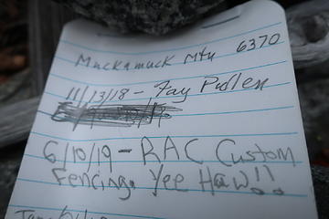 Fay 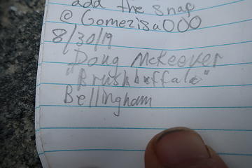 A BB wuz there too! 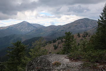 Old Baldy (left) and McCay. Note FS37 descending from Baldy Pass. 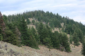 looking back to rounded summit of Muckamuck 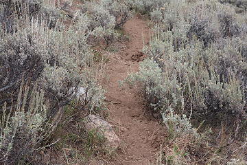 excellent hoof-built path 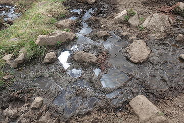 cows don't filter their drinking water 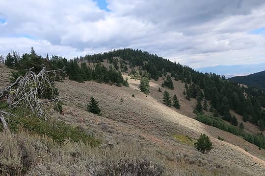 Muckamuck from west 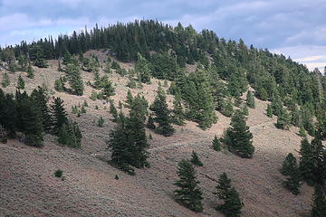 zoomed a bit. The obvious 'trail' appeared to be cut by a dozer....may be a firebreak, but seems too narrow. 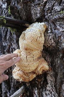 forest pixie 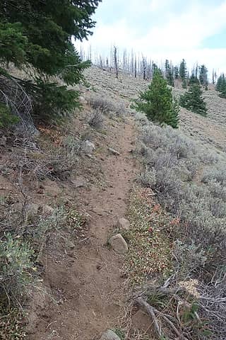 many hooves make fine paths 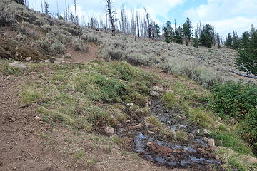 cow trail at 6100 easily traverses hillside 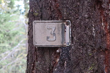 old trail marker, presumably not placed by cows.They can't hold a hammer in their hooves! Perhaps this was the lookout trail, although one map showed the LO access from the north, not west. 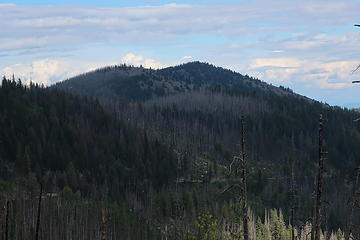 Muckamuck from FS37 east of Baldy Pass 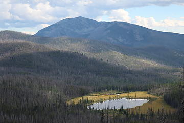 Old Baldy, yet another former LO site. View from FS37 west of Baldy Pass. 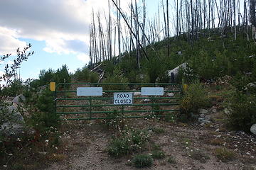 locked gate marks the start of the abandoned road to Corral Butte lookout site 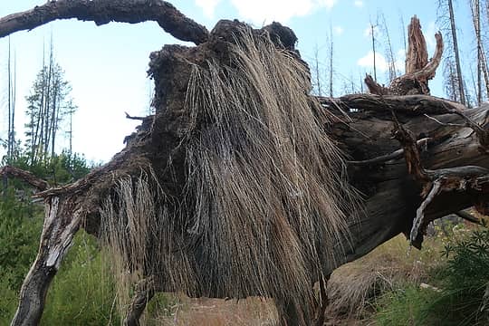 Mountain monster!  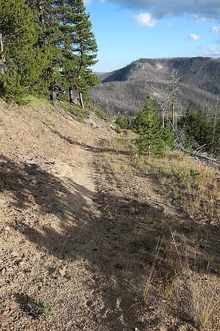 road is easy strolling 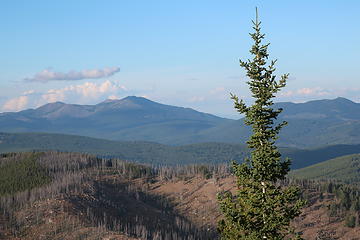 Tiffany group 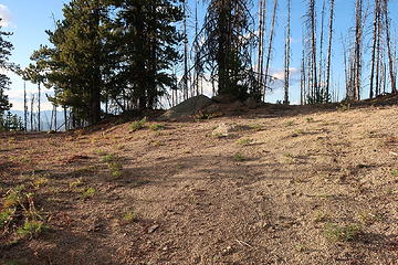 end of road in 0.6 mile 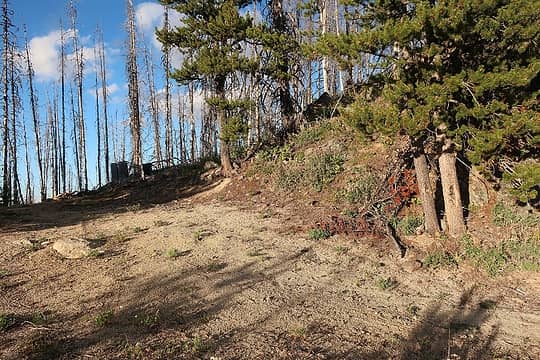 LO site is just up the hill to the right 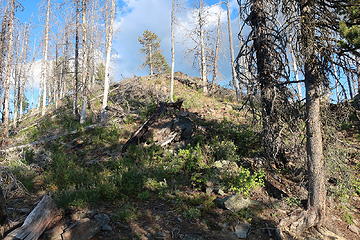 .... up there(there is a path, hard to see here) 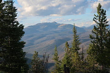 Windy Peak in distance, where I slept on top two days later. 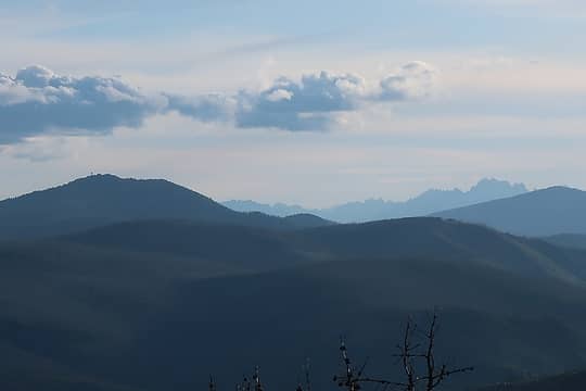 see the North Twenty Mile lookout tower? Rugged peaks to southwest...the Craggies? 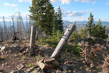 posts 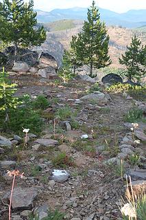 painted rocks leading to somewhere.....
Passing rocks and trees like they were standing still
Passing rocks and trees like they were standing still
|
| Back to top |
  
|
|
Downhill
Member

Joined: 30 Jul 2018
Posts: 340 | TRs | Pics
Location: Leavenworth |
|
Downhill
Member
|
 Mon Sep 16, 2019 2:25 pm |
|
|
Cool report, thanks! Fun reading.  I don't know why, but I have a fascination with lookouts and former lookout sites.
Looking forward to seeing your photos!
I don't know why, but I have a fascination with lookouts and former lookout sites.
Looking forward to seeing your photos!
|
| Back to top |
|
|
Kim Brown
Member
Joined: 13 Jul 2009
Posts: 6899 | TRs | Pics
|
Hey, just saw this report. I have wanted to do.Muckamuck for years, but the trail had been choked with blowdown until recently,but haven't been able to get over there. Looks nice!
"..living on the east side of the Sierra world be ideal - except for harsher winters and the chance of apocalyptic fires burning the whole area."
Bosterson, NWHiker's marketing expert
"..living on the east side of the Sierra world be ideal - except for harsher winters and the chance of apocalyptic fires burning the whole area."
Bosterson, NWHiker's marketing expert
|
| Back to top |
|
|
Brushbuffalo
Member
Joined: 17 Sep 2015
Posts: 1887 | TRs | Pics
Location: there earlier, here now, somewhere later... Bellingham in between |
Kim, if you go the way I did you won't need the old trail. It was quite easy with minimal brush or fallen burned trees. Plus the 'big snow' has probably melted by now.
Gotta love the name of that one, and it has a Fay register!
Passing rocks and trees like they were standing still
Passing rocks and trees like they were standing still
|
| Back to top |
|
|
Kim Brown
Member
Joined: 13 Jul 2009
Posts: 6899 | TRs | Pics
|
Yah, I like the name. Profanity Peak, too!
"..living on the east side of the Sierra world be ideal - except for harsher winters and the chance of apocalyptic fires burning the whole area."
Bosterson, NWHiker's marketing expert
"..living on the east side of the Sierra world be ideal - except for harsher winters and the chance of apocalyptic fires burning the whole area."
Bosterson, NWHiker's marketing expert
|
| Back to top |
|
|
|
|
You cannot post new topics in this forum
You cannot reply to topics in this forum
You cannot edit your posts in this forum
You cannot delete your posts in this forum
You cannot vote in polls in this forum
|
Disclosure: As an Amazon Associate NWHikers.net earns from qualifying purchases when you use our link(s). |


