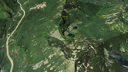
Dirty Harry - Granite Creek traverse route
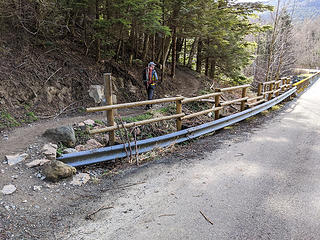
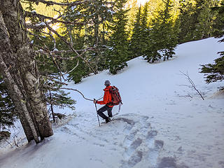
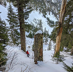
Starting out on the trail. Why did someone think they needed the extra high fence here?
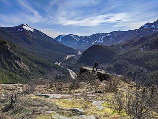
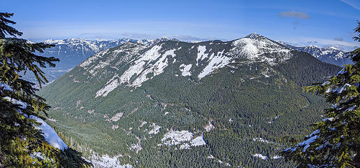
Eastern Block view point
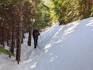
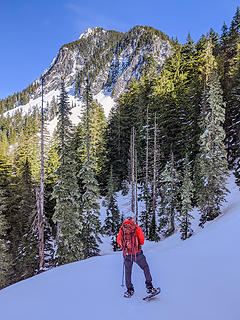
Most of the upper Dirty Harry trails were obviously old roads, but this one was so drifted in it didn't look that way. Later the track confirmed that it was the same route as previous trips.
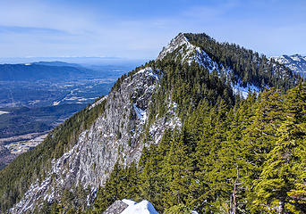
Granite Creek valley, Zorro and Thompson Point from Dirty Harry summit
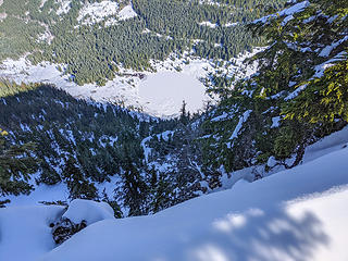
View down cliffs to lower Granite Lake from Dirty Harry summit
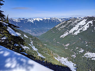
View down valley from Dirty Harry summit
Dirtybox from open point west of Dirty Harry summit
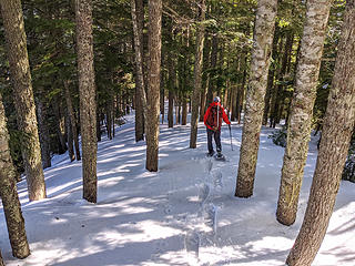
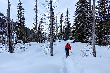
Instead of following the road down we stayed on the ridge line when the road/trail veered away from it. This section was fun because the snow covered all the brush and the trees were widely spaced.
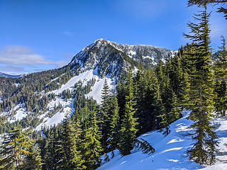
North Web from Dirty Harry's ridge. The ridge was a little brushy between the open forest earlier and getting to this open ridge section.
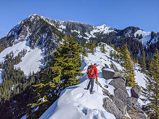
Traversing Coincidence Ridge. North and Main Web Peak in background
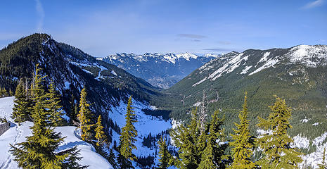
View down Granite Creek valley from Coincidence Ridge
We traversed Coincidence Ridge to the lowest point and then dropped off onto the steep slopes down through the old forest. The snow was perfect for solid snow shoe steps.
North Web towers above us
We meandered back and forth following the easiest and safest looking slopes. It's pretty steep but there are no big cliffs.
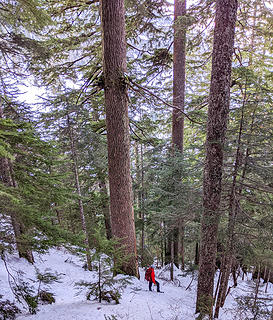
Old growth hemlocks above Granite Lakes
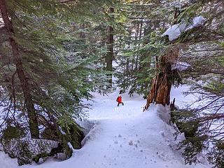
Breaking out into the open area around Granite Lakes
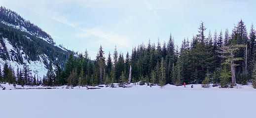
Crossing upper Granite Lake
Surprising long trail between upper Granite Lake and the main Granite Creek trail.
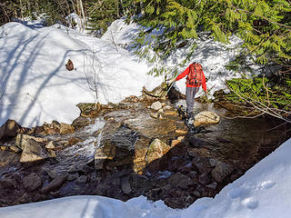
Creek crossing a little before reaching the main Granite Creek trail


 ).
).