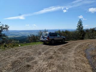
Parking at 4980' on Rd 40 just before Bucket Spring.
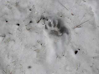
I stopped a bear in its tracks as I was parking.
Elevation marker at junction of Rd 40 and summit road.
Road to the top of Saddle Butte.
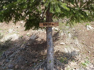
Roadside elevation marker.
Driveway Ridge.
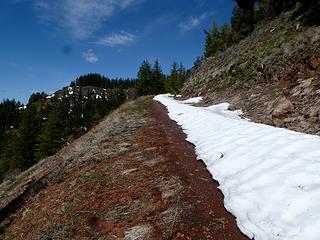
Snow near the top.
A spring on the way up along the road.
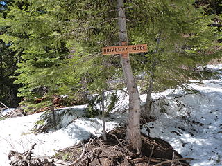
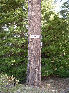
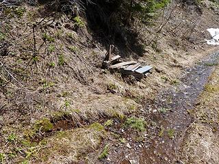
There's a sign on Driveway Ridge.
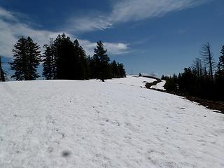
Nearing the top.
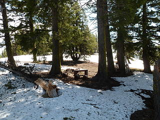
Camp on the summit.
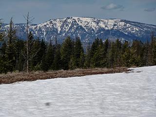
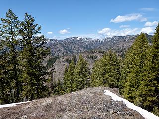
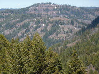
Plenty of snow still on Oregon Butte.
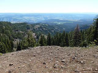
Grouse Flat to the south.
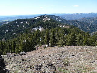
Driveway Ridge.
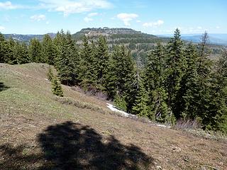
Halsey Butte.
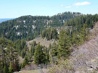
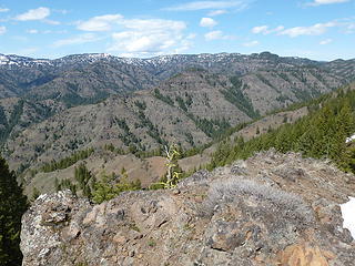
Looking at the south side of The Blues.
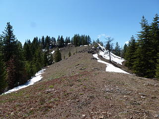
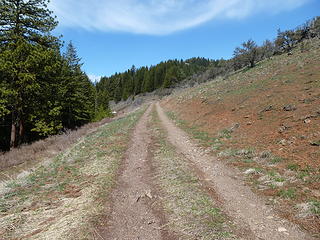
Typical terrain on the hike over to Driveway Ridge.
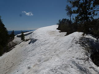
Some snowy sections on the ridge walk.
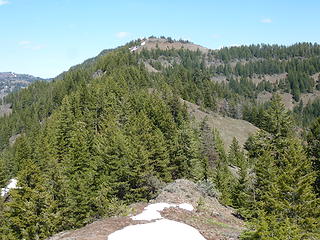
The highpoint of Driveway Ridge, 5582.'
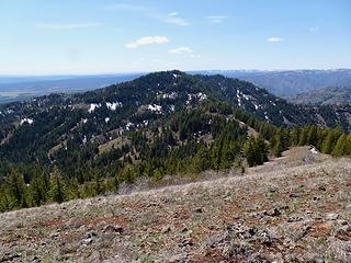
Middle Ridge is a 5621' point between Saddle Butte and Driveway Ridge.
Diamond Peak.
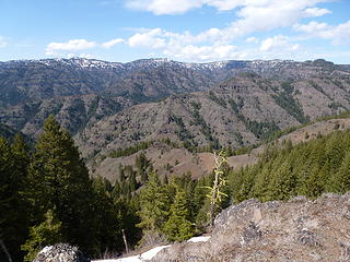
Saddle Butte from near the top Driveway Ridge.
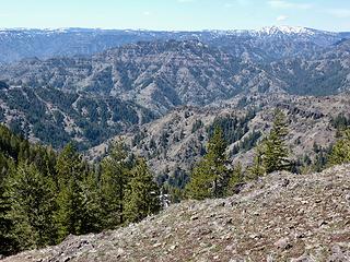
Mt Horrible. Rd 40 (Pomeroy/Grouse Flat) visible below.
Blues.


