| Previous :: Next Topic |
| Author |
Message |
Mark Hadland
#thehad


Joined: 30 Jun 2018
Posts: 50 | TRs | Pics
Location: Seattle |
Delayed Trip Report and Story for Sloan Peak - Climbed 07-10-2021
https://hikingwithhadland.com/2021/07/13/sloan-peak-07-10-2021/
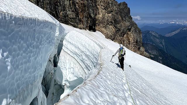 Eyeing the crevasse on the upper slope of the glacier 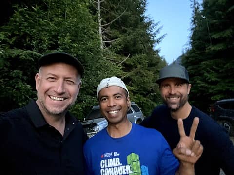 Nice to meet you John, with Benson Miller 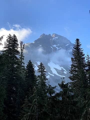 Sloan appears 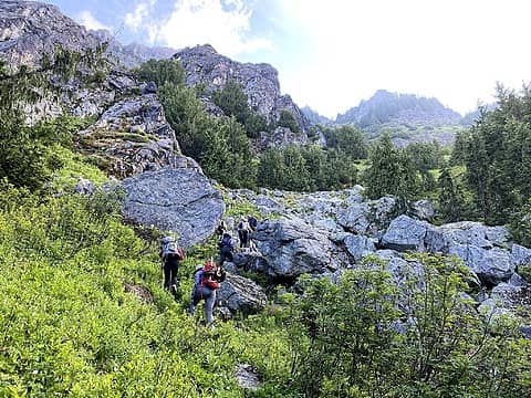 The blessed boulders and the end of the Schwack 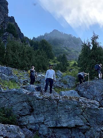 Buggy boulders 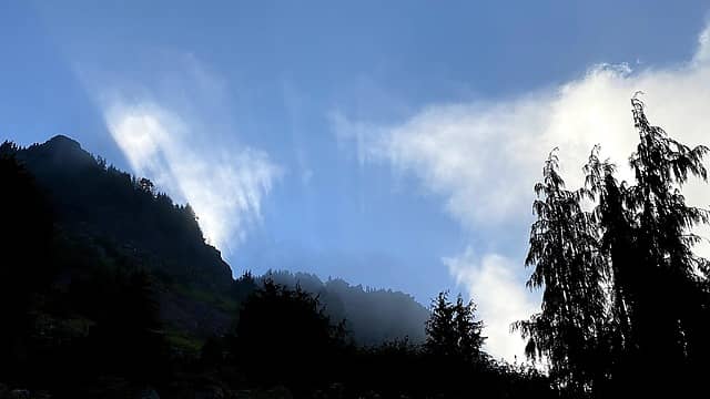 Runrise 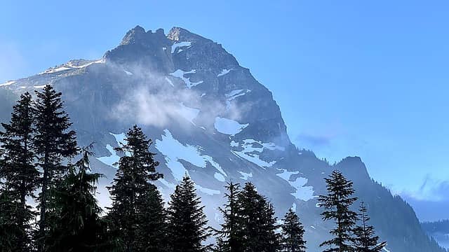 Destination 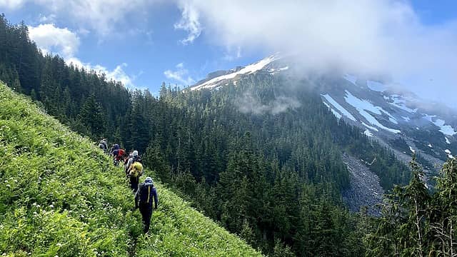 Alpine Meadow Traverse 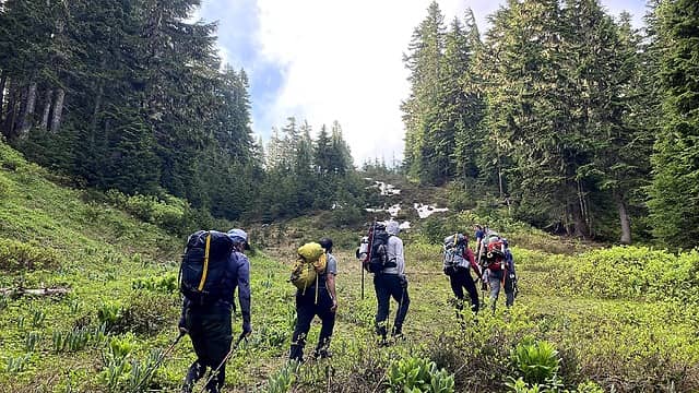 Approaching the saddle between Bedal and Sloan 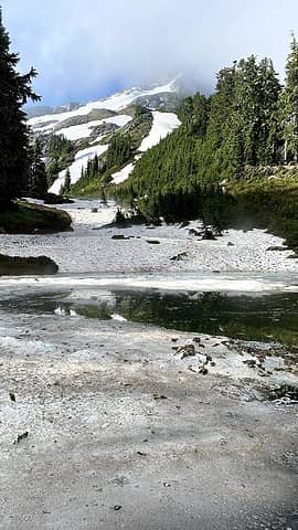 Tarn 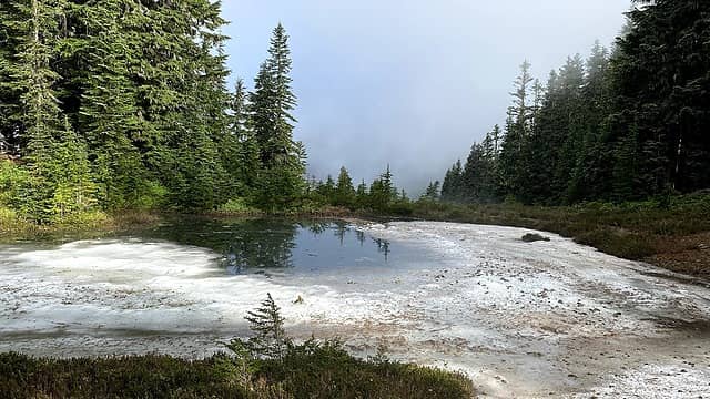 Tarn 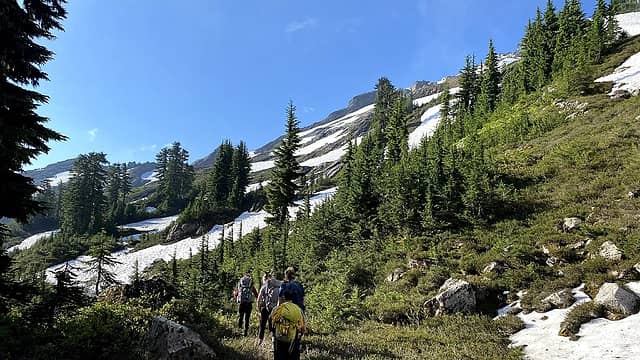 Alpine Slopes 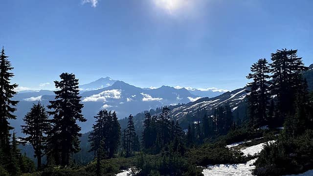 Glacier Peak 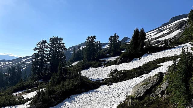 Snow slopes 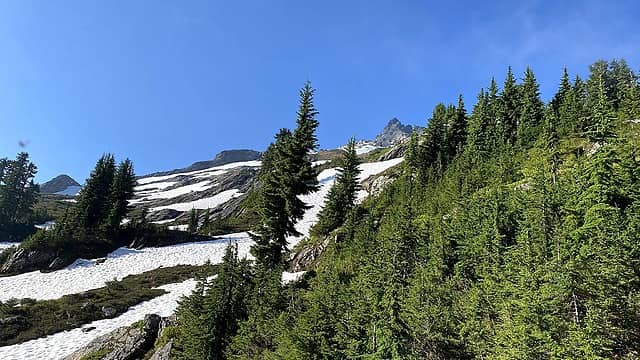 View of upward slopes 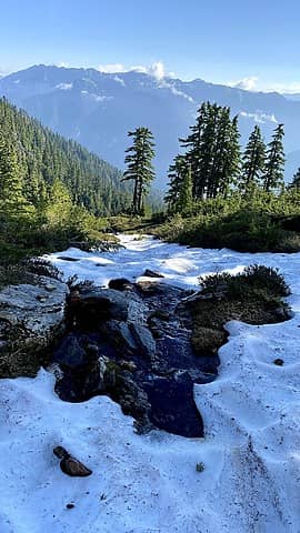 Water source 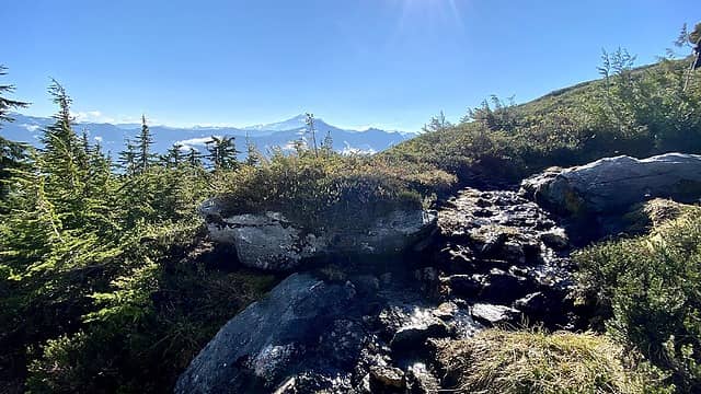 Vista of Glacier Peal 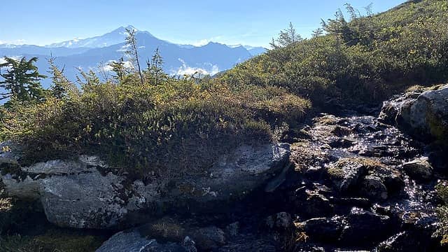 More Glacier Peak 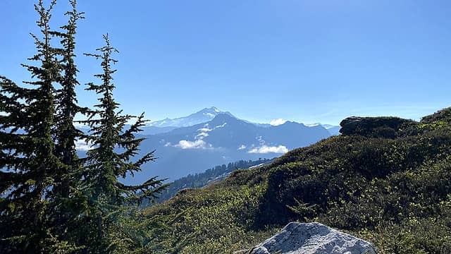 Glacier Peak who knew Id climb it the next week with Jamie Wise! 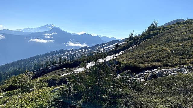 Glacier Peak and alpine meadows 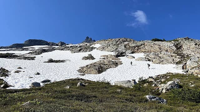 Slabby rocks 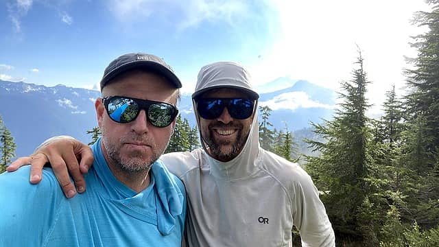 thehad and Benson 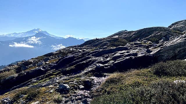 Heather meadows 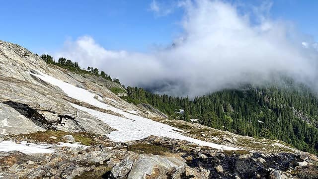 View of the saddle we crested 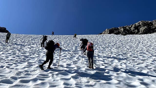 Climbing up the first snowfield 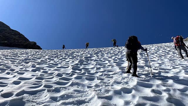 Suncups 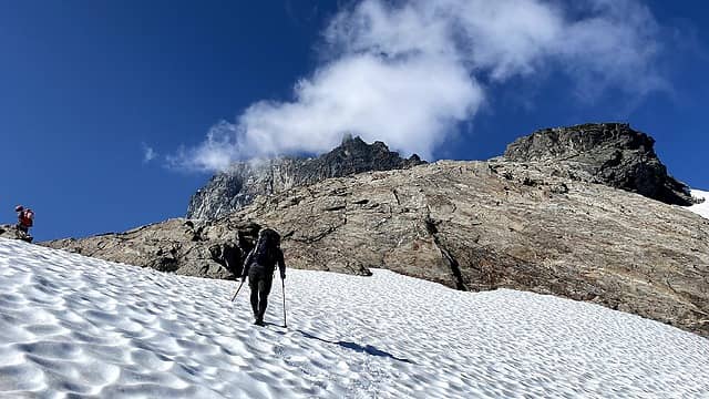 Snow fields 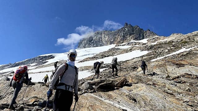 Climbing the rock 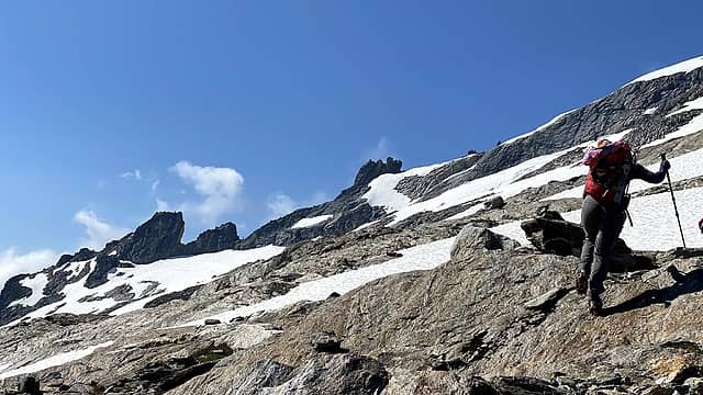 More rock 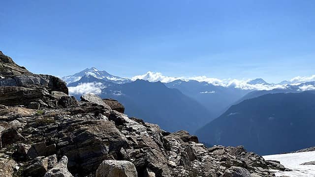 Glacier Peak in the distance - little did I know I would have the opposite view the following week 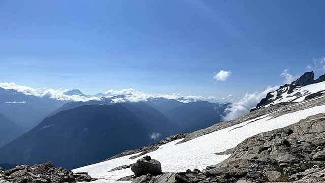 Views 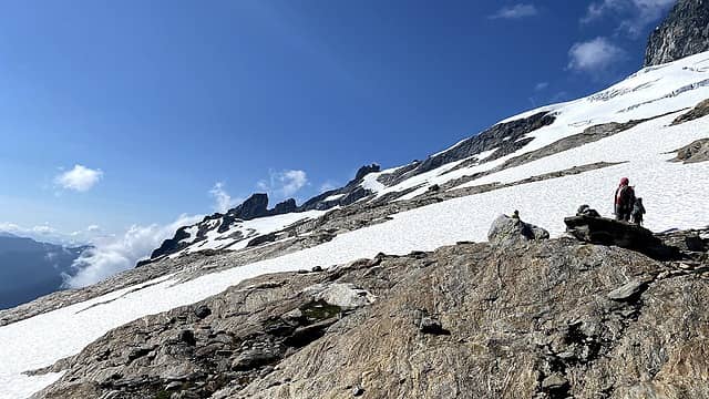 Lower glacier 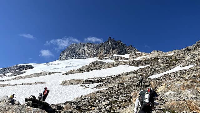 View of the route 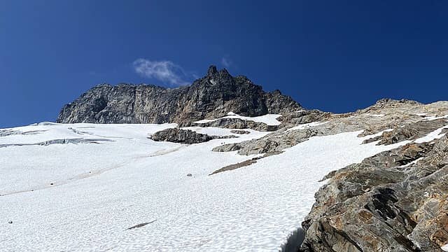 Glacier 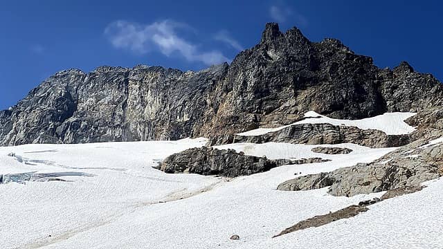 View of Sloan and glacier route 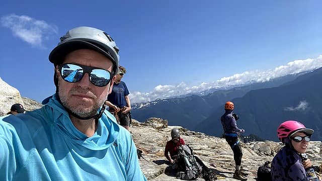 Staging to assemble the rope teams 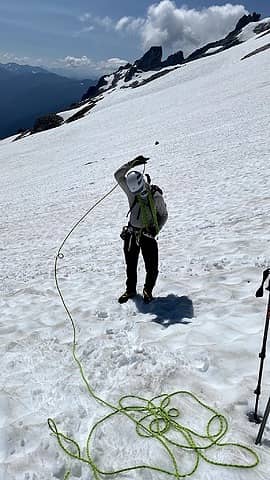 Benson roping up 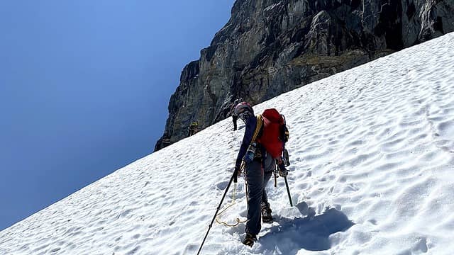 Ascending to the main crevasse 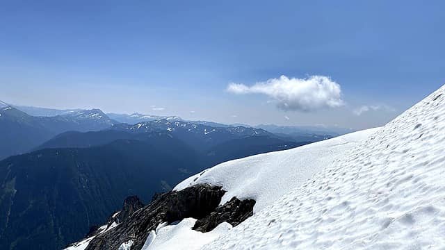 View from upper glacier 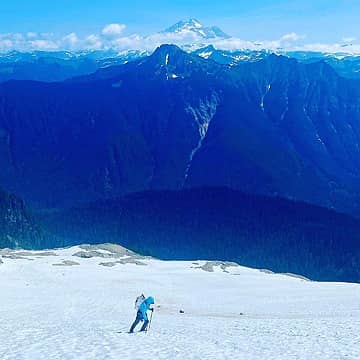 #thehad trekking across the glacier 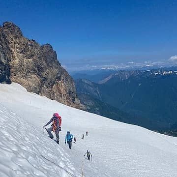 Rope team 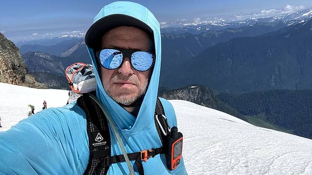 Looking back 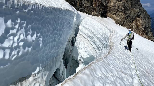 Traversing below the crevasse - we used two pickets to secure the line 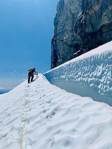 Securing the route 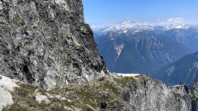 Beginning of corkscrew with Glacier Peak in the background 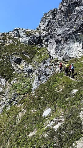 Winding our way up 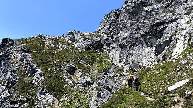 Amazing trail 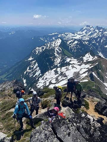 Group shot 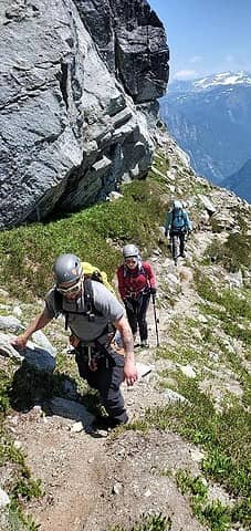 Still climbing 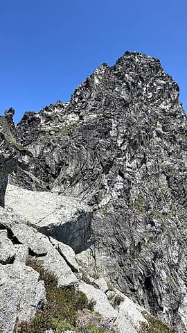 Looking up at summit block 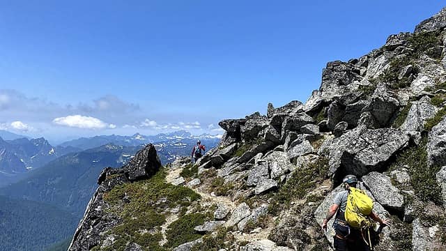 Rounding the bend 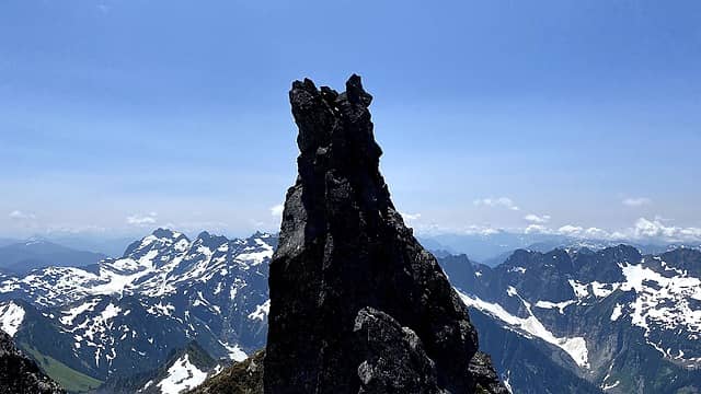 Gendarme 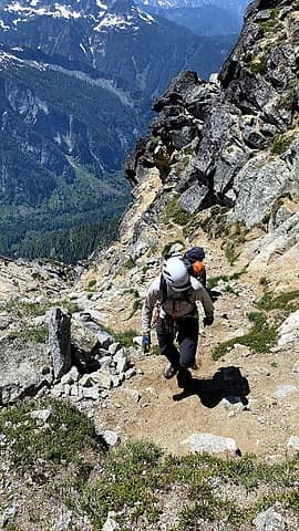 Up the gully 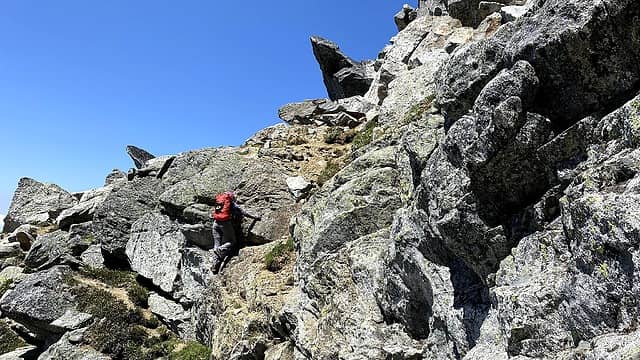 Scrambling 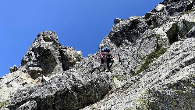 Scrambling up 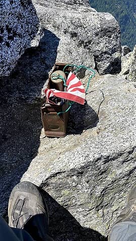 Summit register 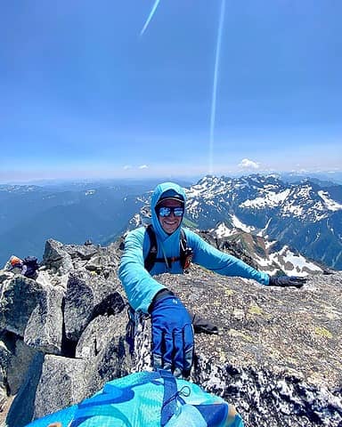 Made it! 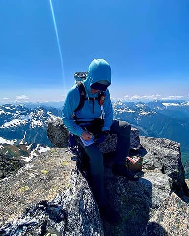 Signing the register 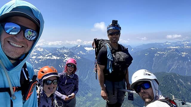 with John Porter who took a more "interesting" route up. 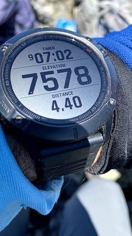 Proof 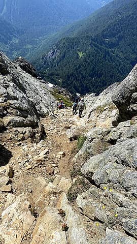 Descending the gully 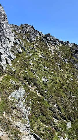 More corkscrew 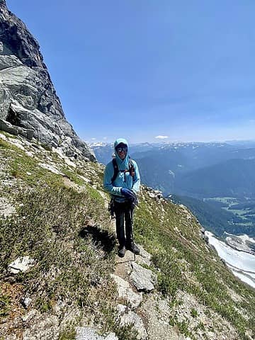 Enjoying the views 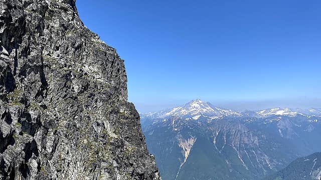 Glacier Peak 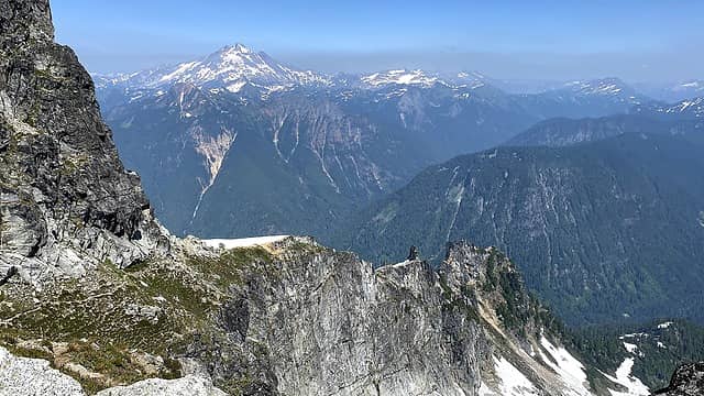 Glacier Peak 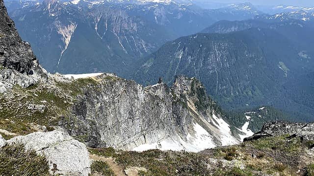 Base of the corkscrew 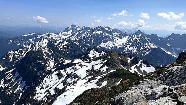 Super views 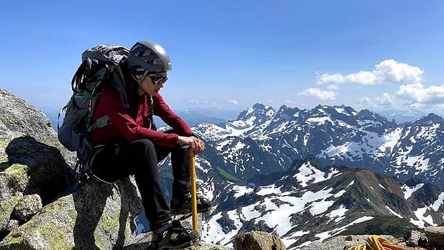 Jamie reflecting upon the climb 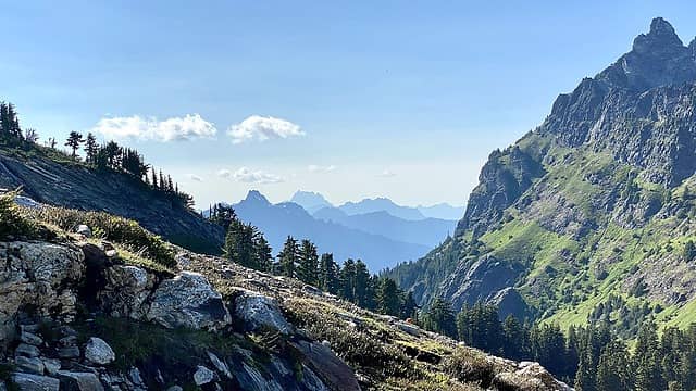 Left to Right: Mount Forgotten, Whitehorse Mountain, Jumbo Mountain and Bedal Peak in the right foreground. 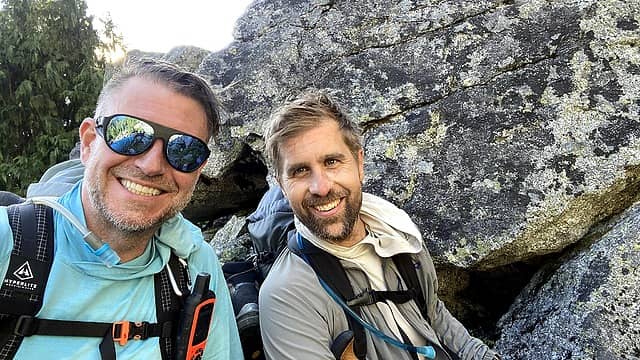 Happy wrapping up an excellent alpine experience! Benson and I agree that this is one of our most complete and rewarding alpine climbs. It had a little something for everyone and one of the best groups of folks with whom to climb. Plus climbing with #thedirtbaguette and meeting #onehikeaweek are two Apex Experiences. This one went #1Louder! 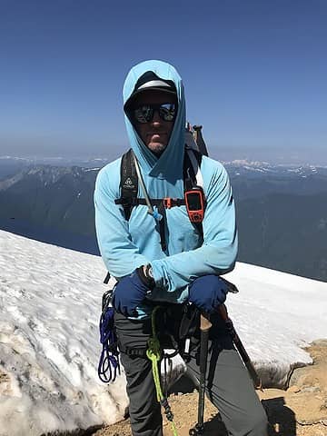 Thanks for reading. Cheers, #thehad
 Schroder, Tom Schroder, Tom
Schroder, Tom |
| Back to top |
  
|
|
silence
Member

Joined: 25 Apr 2005
Posts: 4420 | TRs | Pics
|
|
silence
Member
|
 Sat Aug 14, 2021 8:12 pm |
|
|
Way cool ... love the pix and trip report. Big fan of our friend John as well. All you guys rock!
PHOTOS
FILMS
Keep a good head and always carry a light bulb. Bob Dylan
Mark Hadland
PHOTOS
FILMS
Keep a good head and always carry a light bulb. Bob Dylan
Mark Hadland
|
| Back to top |
|
|
Malachai Constant
Member

Joined: 13 Jan 2002
Posts: 16093 | TRs | Pics
Location: Back Again Like A Bad Penny |
Bet the Sloan Glacier is interesting now. 
"You do not laugh when you look at the mountains, or when you look at the sea." Lafcadio Hearn
Mark Hadland
"You do not laugh when you look at the mountains, or when you look at the sea." Lafcadio Hearn
Mark Hadland
|
| Back to top |
|
|
Schroder
Member

Joined: 26 Oct 2007
Posts: 6722 | TRs | Pics
Location: on the beach |
|
Schroder
Member
|
Sun Aug 15, 2021 11:10 am |
|
|
No love for the Cougar Creek approach any more?
|
| Back to top |
|
|
Mark Hadland
#thehad
Joined: 30 Jun 2018
Posts: 50 | TRs | Pics
Location: Seattle |
I did not plan the trip but appears more folk are using Bedal Creek - no creek crossing but the schwak is real.
|
| Back to top |
|
|
Snowshovel
Member

Joined: 05 Apr 2021
Posts: 256 | TRs | Pics
|
I climbed both Sloan and Bedal in July of 1975 via Cougar Creek. How does the Bedal Creek approach to the Corkscrew work? Up the Bedal basin and north to the notch between Sloan and Bedal? Or something else?
|
| Back to top |
|
|
Mark Hadland
#thehad
Joined: 30 Jun 2018
Posts: 50 | TRs | Pics
Location: Seattle |
|
| Back to top |
|
|
|
|
You cannot post new topics in this forum
You cannot reply to topics in this forum
You cannot edit your posts in this forum
You cannot delete your posts in this forum
You cannot vote in polls in this forum
|
Disclosure: As an Amazon Associate NWHikers.net earns from qualifying purchases when you use our link(s). |


