Matt Lemke
High on the Outdoors


Joined: 15 Jul 2010
Posts: 2052 | TRs | Pics
Location: Grand Junction |
|
Matt Lemke
High on the Outdoors
|
 Thu Oct 28, 2021 9:47 pm |
|
|
Map of the Good Day Jim and Hard Day Harvey canyons
Last weekend I left Grand Junction to climb Mount Ellsworth on Saturday, but on Sunday we went and did a slot canyon directly adjacent to Hard Day Harvey canyon, which Josh and I descended back in March of this year and proved to be quite the adventure. This time we had Scotts Pathfinder which was able to drive all the way out to the Sevenmile Canyon area much quicker than my car. The flash floods of last month also made the road quite a bit rougher in many spots than it was in March, so much so that there would have been places my car would not have been able to cross. We reached the same parking spot right at the NPS boundary for the Glen Canyon NRA and at 10:30am we started down the Average Joe Fork of Good Day Jim (shown in orange on the map). This fork just to the east of the main Good Day Jim canyon will allow you to bypass the 10 foot deep keeper pothole as it intersects the main canyon just a few hundred feet below this pothole. We walked 15 minutes or so southwest from the car on the Carmel formation until we hit the Page sandstone dropoff. There is a class 4 scramble down this section we did by walking left along the rim for a few hundred feet and descended the obvious weakness into the drainage below.
We continued walking down the Navajo, with short sections of slot presenting itself, then opening back up. We did end up doing 1 short rappel of maybe 12 feet midway down the Average Joe fork was it would have been easy to downclimb in hindsight. I annoyingly forgot my harness so I had to borrow Scotts, after he rappelled he would tie it to the rope and I would pull it up. We quickly made it to the junction where this fork meets Good Day Jim main fork (shown in pink on the map). We took the 2 minute detour up the main fork to take a look at the keeper pothole, and to my amazement it was pretty dry! We also saw a small pothole with an arch cutting through it that was perfect for Kessler to stand under.
We then continued down canyon, but were quickly met with two potholes, the first of which was half full of water. Kessler and Scott quickly slid on into the first one and got pretty wet right away. I was hesitant to go in knowing there may be a steep dropoff down the opposite lip of the pothole, and no anchors in sight. So Kessler peeked over and confirmed it was indeed a rappel over the other side. I went back and ascended some slickrock above the east side of the canyon back at the Average Joe junction, and traversed past the pothole they were in, and tried to get a good look at what lay beyond. I saw a second pothole below the first, and another drop below that, none of which was going to be feasible to descend directly since there were no anchor material, and the potholes were half full of water. I spotted a bush above the canyon that looked like we could rappel about 80 feet back into the canyon below these obstacles and continue onwards. This bypass is marked in yellow on the map.
I returned back to Scott and Kessler and tossed a rope down to them and held it while they re-climbed the wet slickrock. Good thing I hesitated to slide down, otherwise it would have been challenging to get out! Once they were out we searched again for rappel anchors in the canyon but could not really find anything good. It was clear all the existing anchors inside these potholes were washed out last month. We then traversed above to the bush and tied some webbing around it and all gingerly rappelled down. The small bush ended up being quite solid.
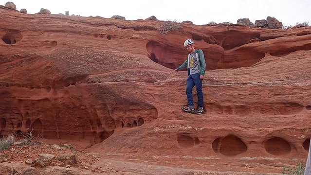 Kessler descending the class 4 slab down the first drop 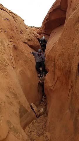 Average Joe fork narrows 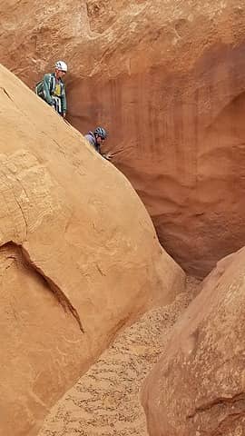 Descending a short slide in Average Joe Fork 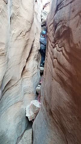 Average Joe Fork 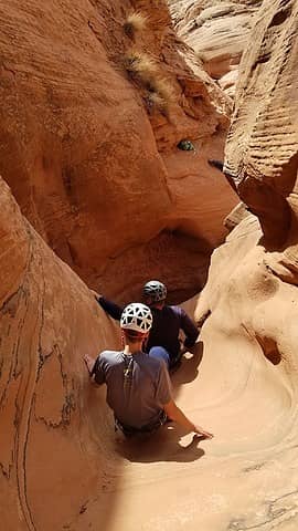 Upclimbing to the big keeper pothole  The pothole mostly dry 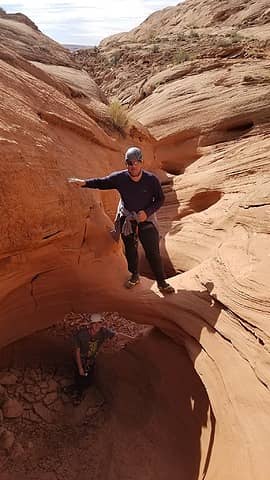 Pothole with arch 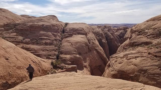 Traversing above and east of the water filled potholes 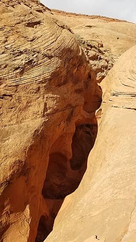 Looking down on the water potholes 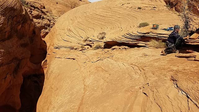 Building an anchor 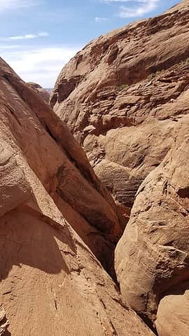 Looking down canyon from our rappel 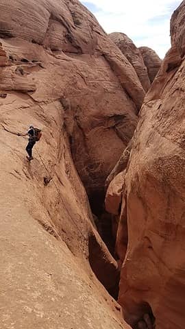 Kessler rappelling 80 ft down 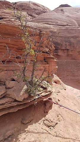 The bush we rapped from 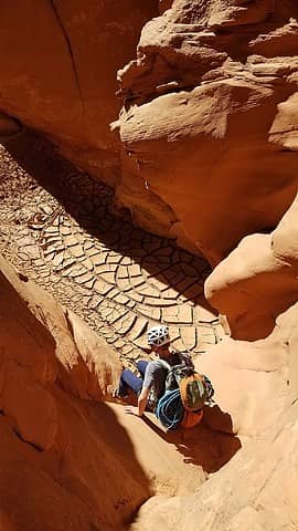 Descending 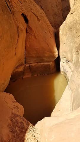 The lower pothole we bypassed 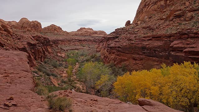 The 50 foot dropoff and spring 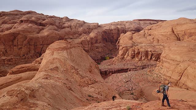 Navaho wonderland 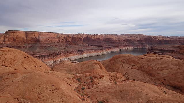 Lake Powell 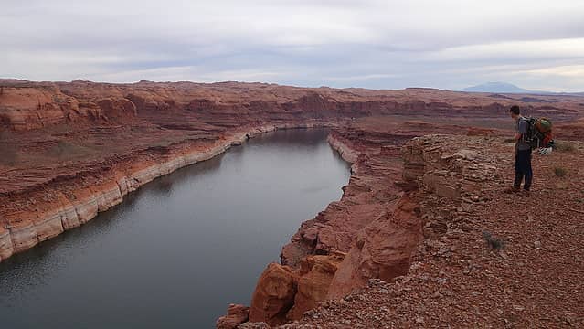 Lake Powell 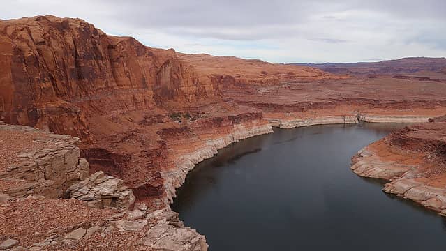 Lake Powell 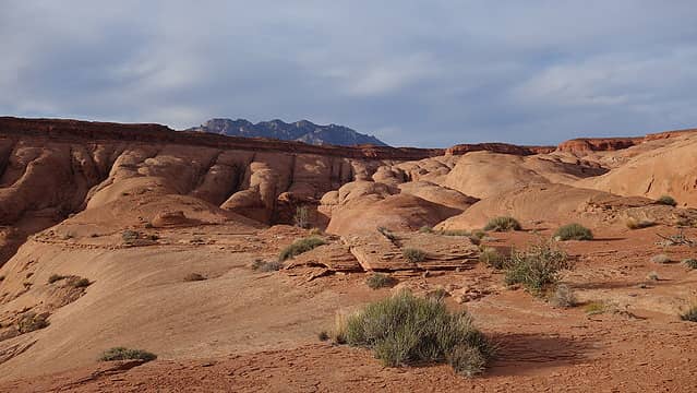 Ellsworth poking above 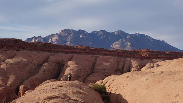 Mount Ellsworth 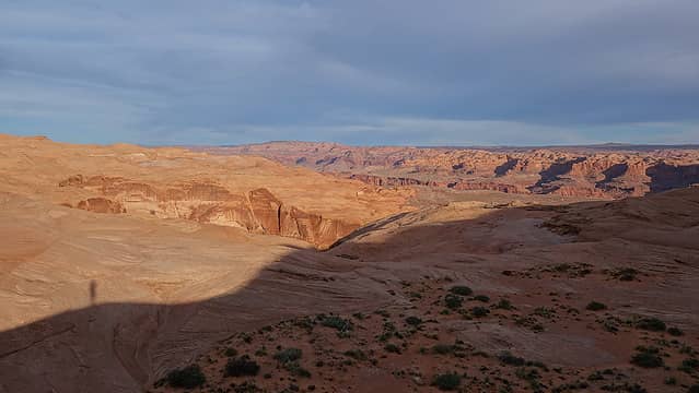 Sunset view
|


