| Previous :: Next Topic |
| Author |
Message |
Eric Gilbertson
Member


Joined: 04 Jul 2018
Posts: 188 | TRs | Pics
Location: Seattle |
Napeequa Peak (8,073ft)
April 10, 2022, 3am - 10:30pm
18 miles skiing, 40 miles snowmobiling
Eric and Nick
I recently got back from climbing peaks in western africa and was itching to get back to some good old cold snowy mountains after my time in the Sahara Desert. I wanted to climb a WA top 200 peak and also use my snowmobile for the approach. Nick was interested in a peak that was at least a little bit technical. Napeequa peak was about the only one that fit all these constraints, and it sounded fun.
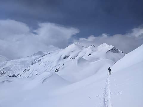 Approaching Napeequa from High Pass 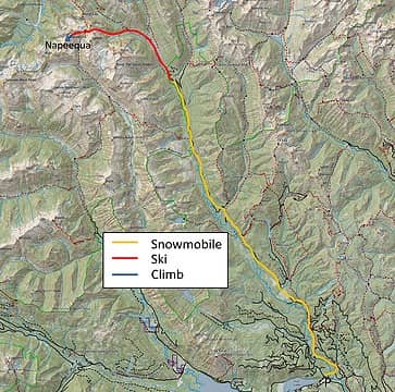 The route 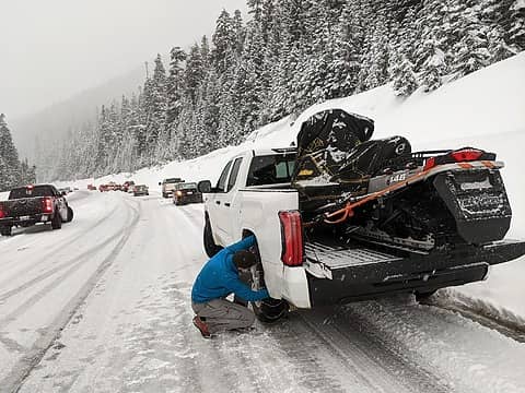 Slow going through stevens pass 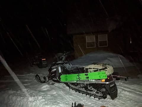 Staying at John's cabin saturday night 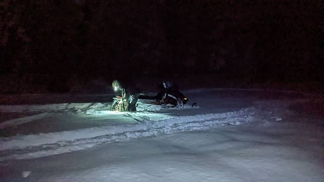 At Trinity 4am Sunday (photo by Nick) 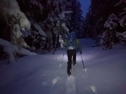 Skinning up the trail 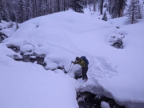 Crossing the chiwawa river 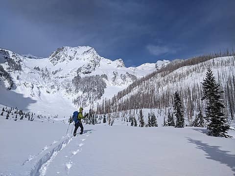 Entering the cirque below berge 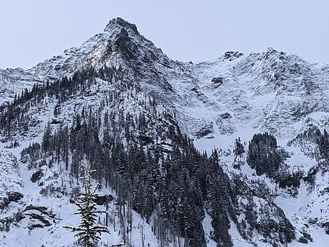 Nice views up to the north face of Buck 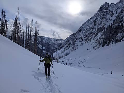 Breaking trail up the cirque 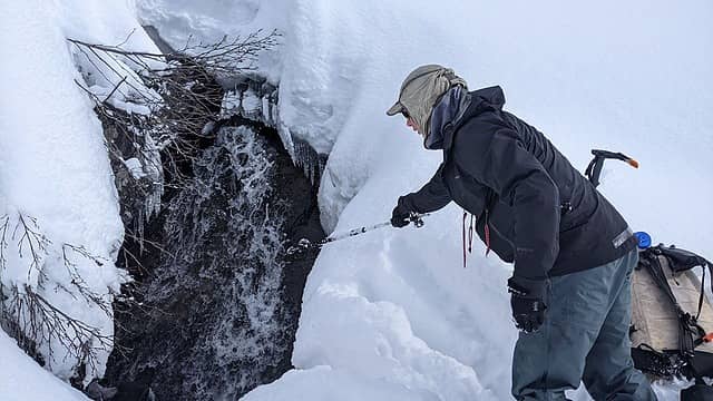 Fishing for water (photo by Nick) 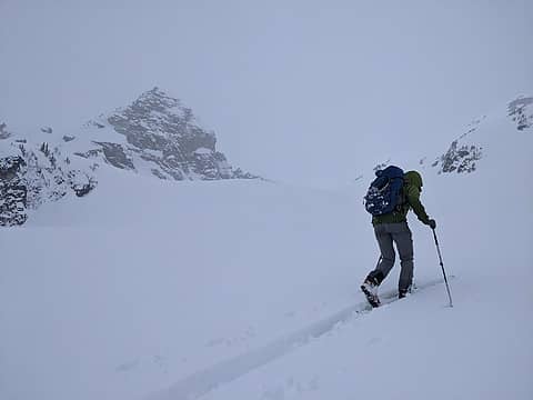 Nearing the col 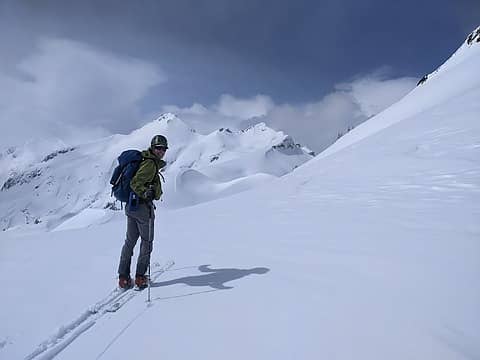 Good views of Napeequa from the col 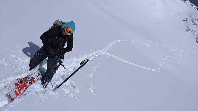 Skiing down to high pass (photo by Nick) 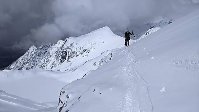 Look back at Rally Cap (photo by Nick) 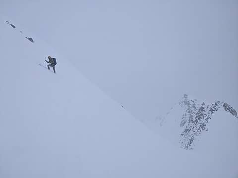 Ascending the east face 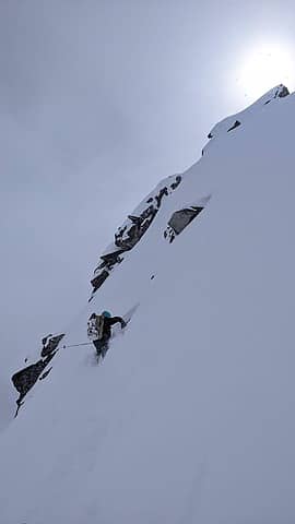 Wallowing up the east face (photo by Nick) 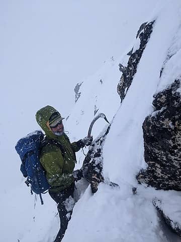 On the summit ridge 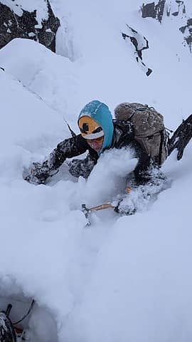 Steep snow near the summit (photo by Nick) 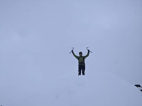 On the summit 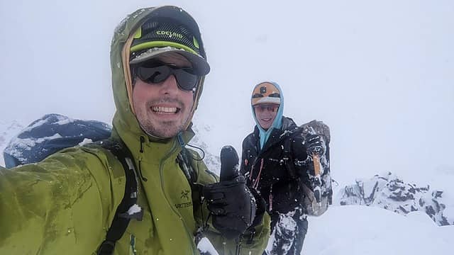 On the summit (photo by Nick) 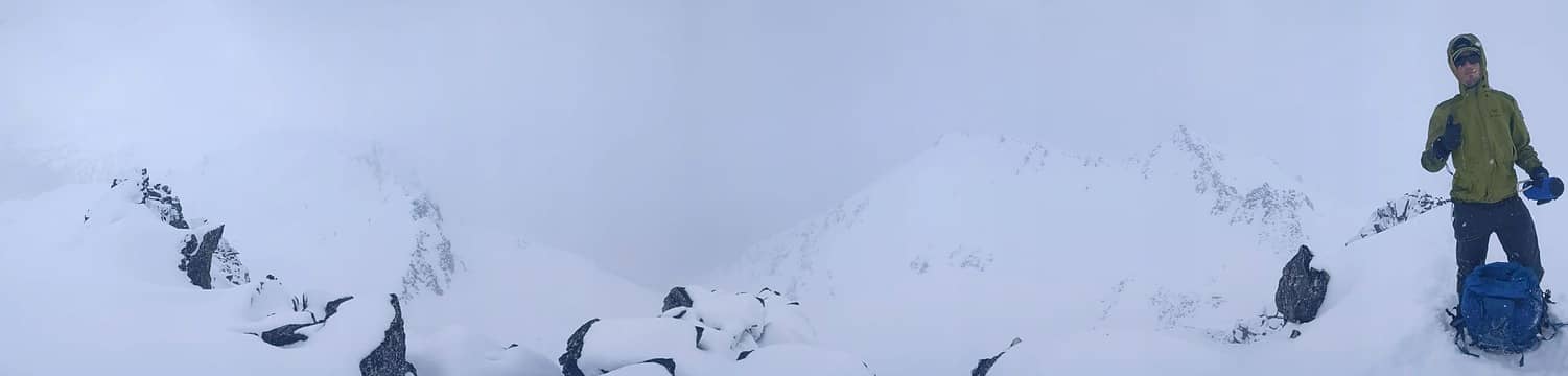 Summit panorama 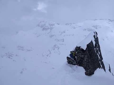 Descending the east face 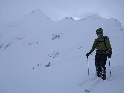 Skiing out 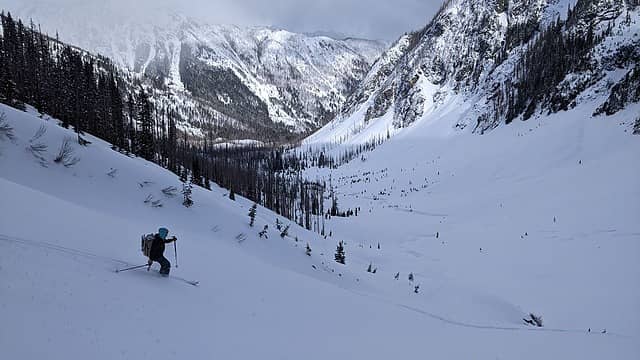 Skiing out (photo by Nick) 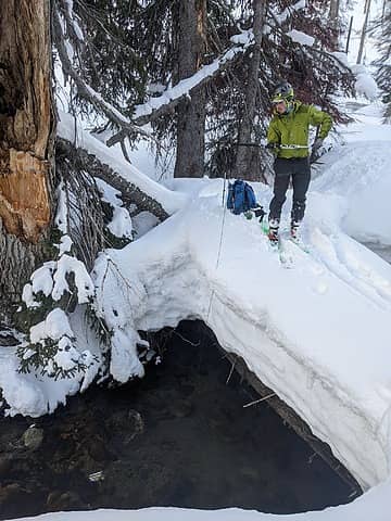 Fishing for water in Buck Creek 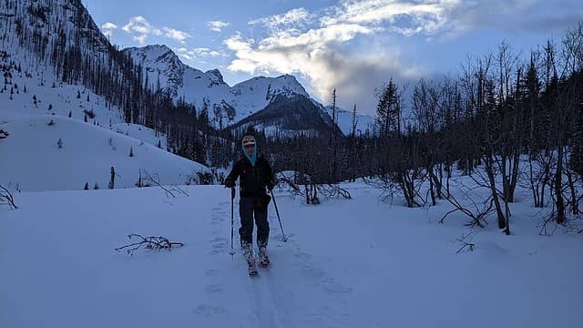 Skiing out (photo by Nick) 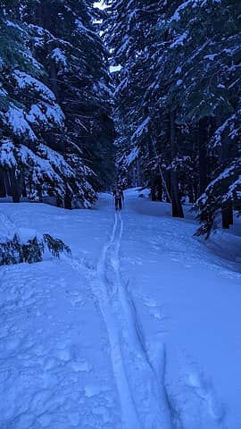 Skiing out (photo by Nick) 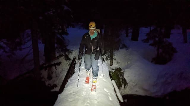 Back to the trailhead (photo by Nick) 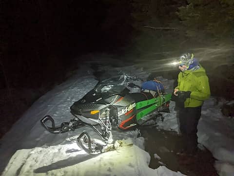 Sledding out 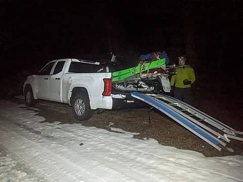 Loading up
 Fedor, Cyclopath, LukeHelgeson, zimmertr, Theboywhocriedroute, KascadeFlat Fedor, Cyclopath, LukeHelgeson, zimmertr, Theboywhocriedroute, KascadeFlat  GaliWalker GaliWalker
Fedor, Cyclopath, LukeHelgeson, zimmertr, Theboywhocriedroute, KascadeFlat GaliWalker |
| Back to top |
  
|
|
GaliWalker
Have camera will use

Joined: 10 Dec 2007
Posts: 4929 | TRs | Pics
Location: Pittsburgh |
|
GaliWalker
Have camera will use
|
 Thu Apr 14, 2022 12:02 pm |
|
|
| Eric Gilbertson wrote: | Approaching Napeequa from High Pass Entering the cirque below berge Skiing out (photo by Nick) |
Great photos!
|
| Back to top |
|
|
Stefan
Member

Joined: 17 Dec 2001
Posts: 5091 | TRs | Pics
|
|
Stefan
Member
|
Thu Apr 14, 2022 3:25 pm |
|
|
|
| Back to top |
|
|
|
|
You cannot post new topics in this forum
You cannot reply to topics in this forum
You cannot edit your posts in this forum
You cannot delete your posts in this forum
You cannot vote in polls in this forum
|
Disclosure: As an Amazon Associate NWHikers.net earns from qualifying purchases when you use our link(s). |


