| Previous :: Next Topic |
| Author |
Message |
iron
Member


Joined: 10 Aug 2008
Posts: 6392 | TRs | Pics
Location: southeast kootenays |
|
iron
Member
|
 Tue Jul 27, 2010 1:49 pm |
|
|
summary
humbling. very humbling
extended summary
drop off bike at cascade river on FS road 1570. drive to cascade pass. begin ptarmigan traverse heading north to south. at the end of bachelor creek, cross downey creek, cross goat creek, pick up ridge to bench lake, and traverse from there to sonny boy ridge back to bike location. 8 days hiking, 1 hr biking.
background
hotpantz and i had planned to do the ptarmigan traverse this summer. we picked these dates back in march/april so we could coordinate work schedules. given that i was laid off the week prior to this trip, it afforded just enough time to get all the last minute details worked out, including getting brand new mountaineering boots the day before the trip since my previous pair failed. different brand + different size = perfect recipe for pain. plus, both hotpantz and i were dealing with nagging overuse injuries: she had IT band stuff and my achilles no longer liked me. still, we decided to push on because this trip was worth it.
but, given that the suiattle river road had questionable access to stash bikes without a long road walk or some other means of transport, i devised a plan to make a loop back to the trailhead. i looked both at sonny boy, for which there was little info, and the buckindy traverse, which was probably more involved and required more rope than i wanted to deal with. so, sonny boy it was. when looking at the map i surmised we could run the ridge for most of the route north of bench lake. how wrong i was. but, because it was a high snow year at high elevations and late in the season, easier travel was possible because of snow fields, ramps, and fingers.
day 1: cascade pass to kool-aid lake
we dropped off the bike and arrived at cascade pass around 10:30a with the parking lot nearly full on a warm saturday morning. i tried figuring out the gps i had, but gave up and left it in the car. off we went at around 11:00a. i had a queasy feeling in my stomach since my previous longest trip in the mountains was 4 days, and that was mostly on trail around glacier peak last summer.
this trip was so much larger. yes, the PT is popular, but as we would find, there would be no footprints or signs of people from cache col until we reached bachelor creek. add to that the unknown, seldom visited terrain of bench lake and beyond. we had a PLB, and emergency contacts, but that was about it. from thereon, it would just be the two of us.
our bags were heavy, for us, since we had cams, nuts, glacier rope, two pickets and pulleys each, ice screws and 8+ days (36lbs total) of food. it was the first time i appreciated the gentle grade of the cascade pass switchbacks. even still, i felt tired going up; shouldn't have done kyes two days prior i guess.
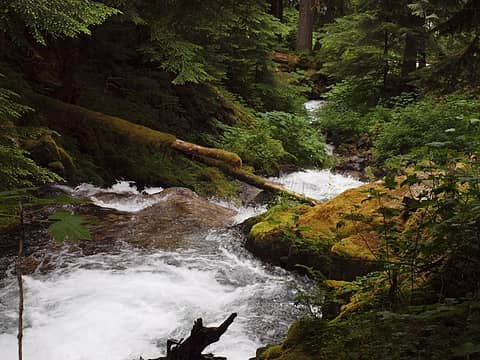
 loads and loads of food 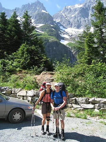 departing trailhead 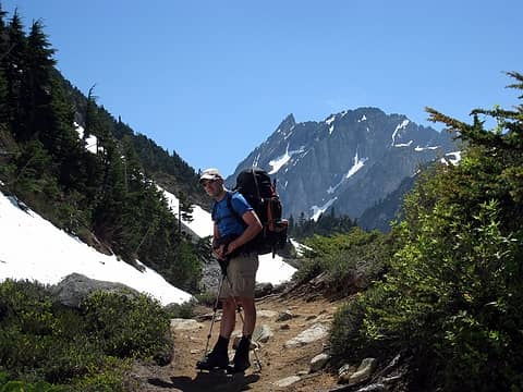 the bent-forward position, common with heavy packs 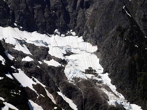 j-berg snow 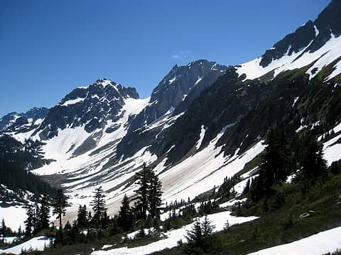 looking towards the route 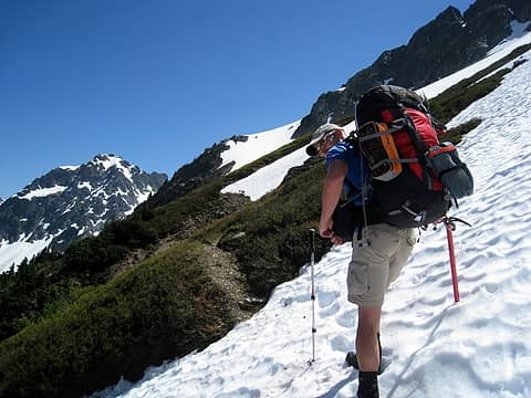 bootprints to follow for this stretch 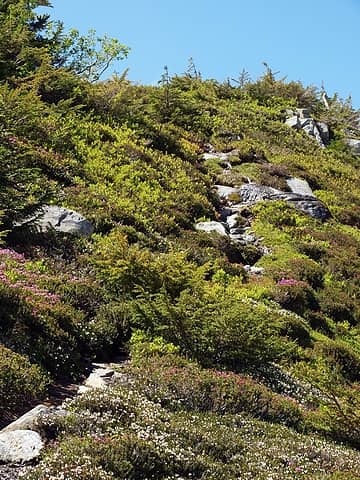 blooming heather and huckleberry 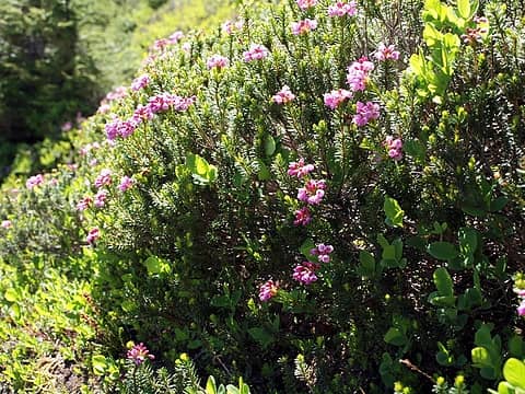 we'd see a LOT of this along the way 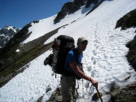 steps 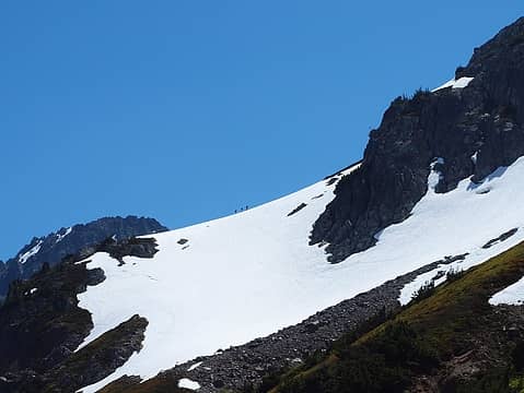 group of 3 on the ridge 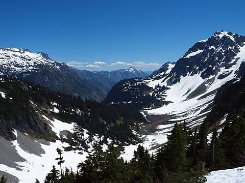 valley towards stehekin 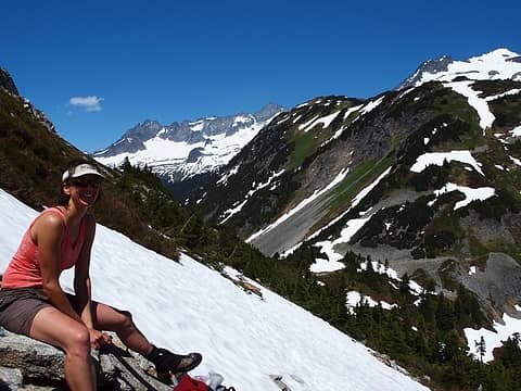 much deserved 2nd break, cascade pass in background 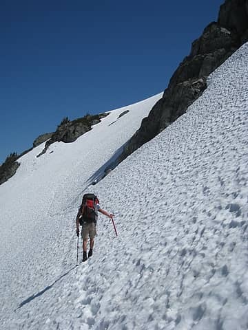 ah, finally, continuous snow 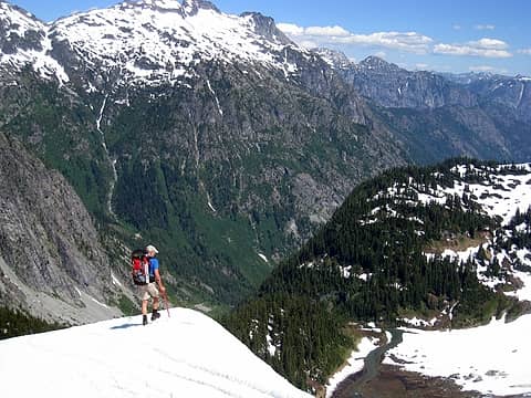 checking out what's over the bump 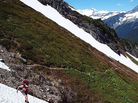 trail was steeper than i thought it'd be 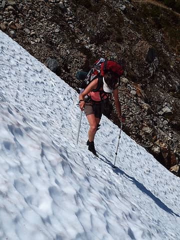 somewhat steep 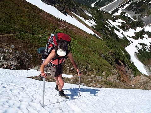 with a bit of exposure  1 label breaking out the 'pons for the first of many times 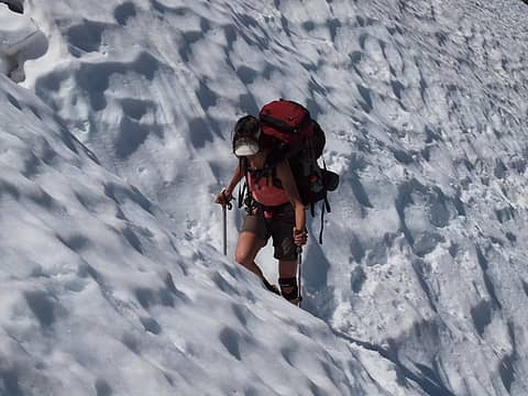 in a sea of suncups 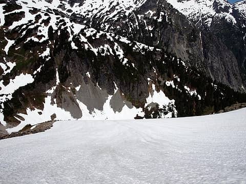 trail to stehekin 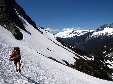 looking back towards cascade pass 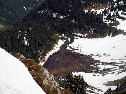 pelton creek 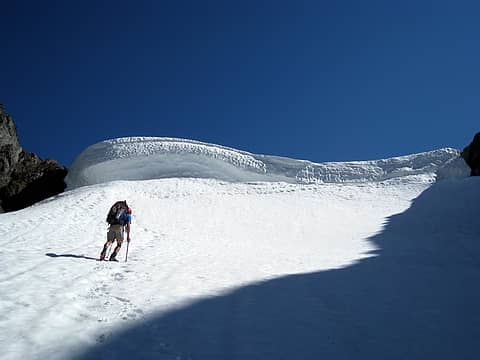 approaching cache col 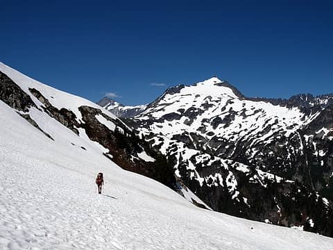 so close to cascade pass, yet it felt very far away 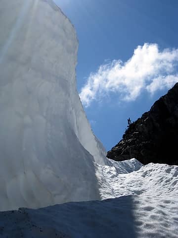 begining of the moat 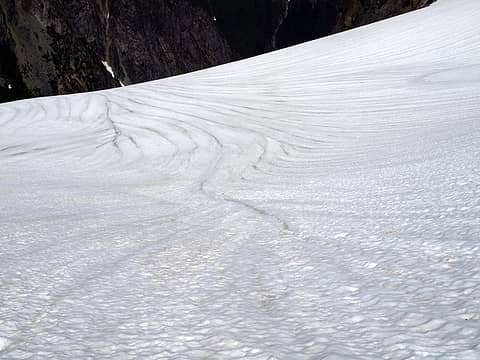 runnels and a dropoff 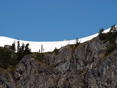 goats on the ridge 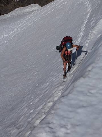 hotpantz chose the snow option 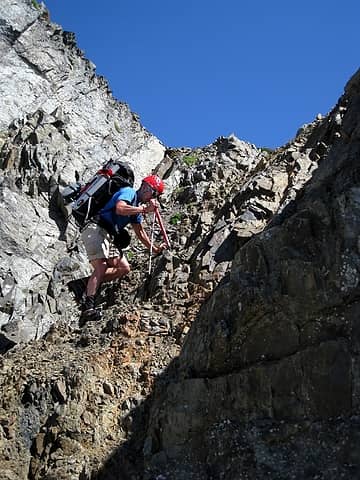 or try the dirty scramble option 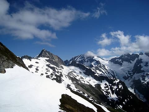 formidable terrain ahead 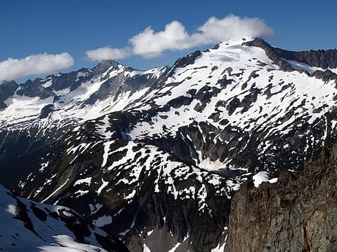 doubtful lake 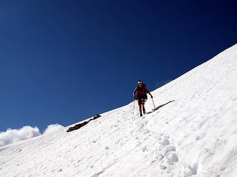 descending cache col 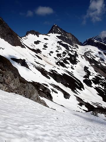 just follow the snow to the next destination 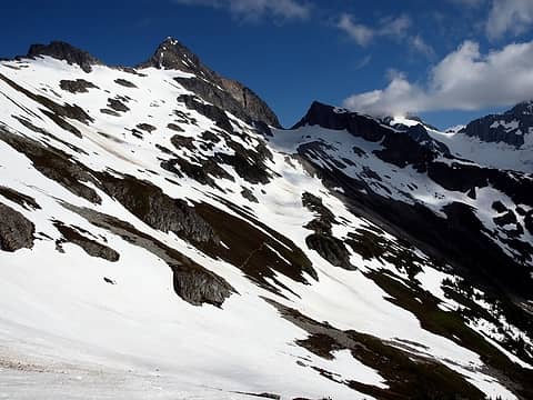 1 label the trail is always a good sign your on-route 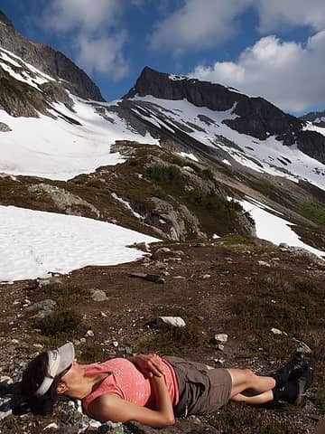 1 label a rough day and into camp by 4pm 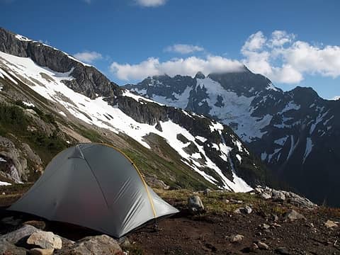 2 labels great campsite, red ledges in background 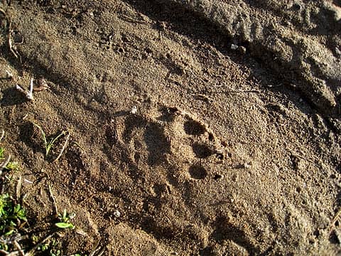 a clawed visitor 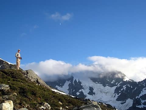 taking one of 1800 pictures 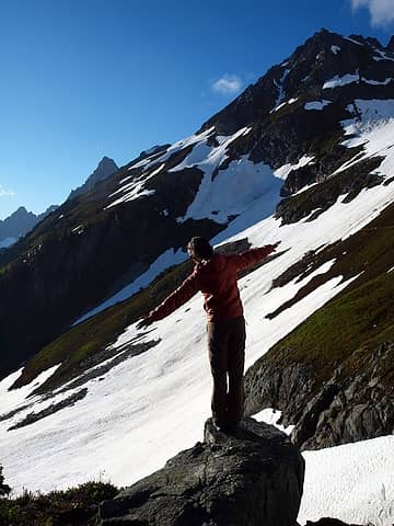 day 1 yoga 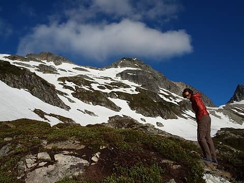 gorgeous colors  an all-too-friendly visitor running into the lake  he was moving, FAST 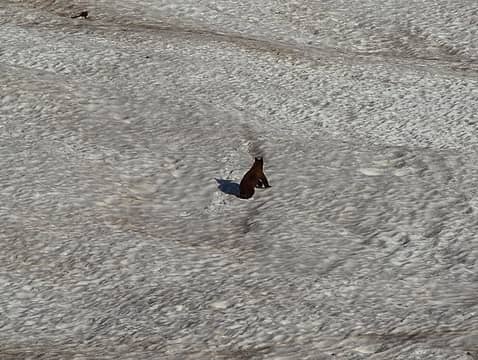 eventually we had to alert him of our presence to avoid an unfortunate confrontation 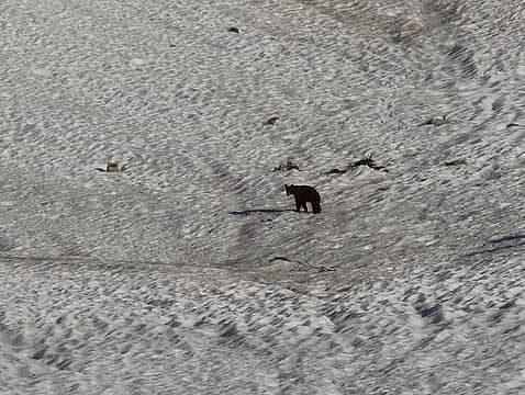 he looked disappointed 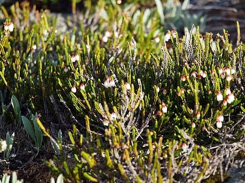 sweet smells everywhere 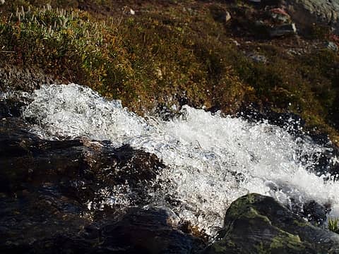 great soothing sounds all night long from the outlet 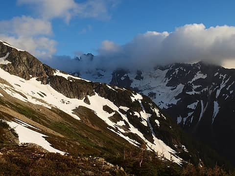 red ledges rib 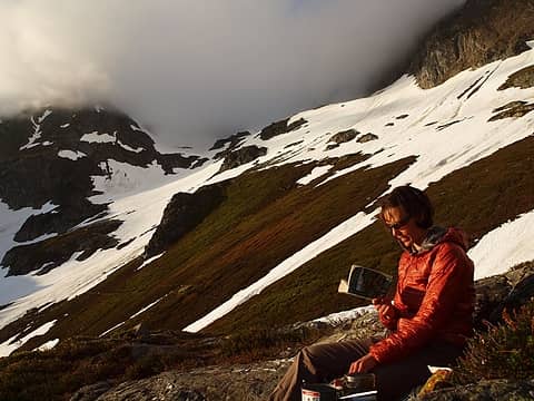 more reading til the sun went down 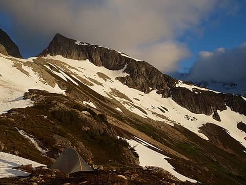 still digging the campsite 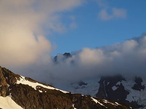 billowing clouds 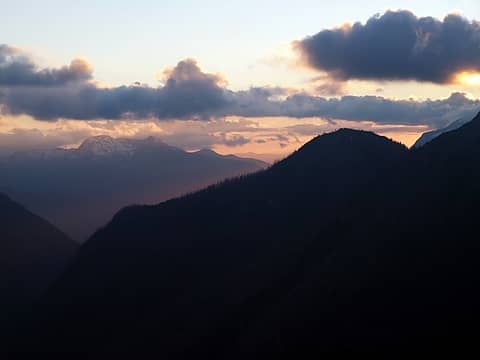 purple ridges 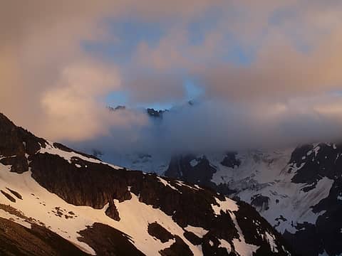 pink clouds 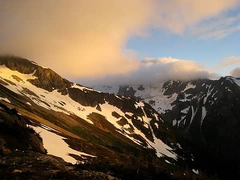 clouds rolling in around sunset 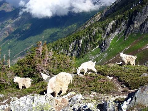 morning visitors 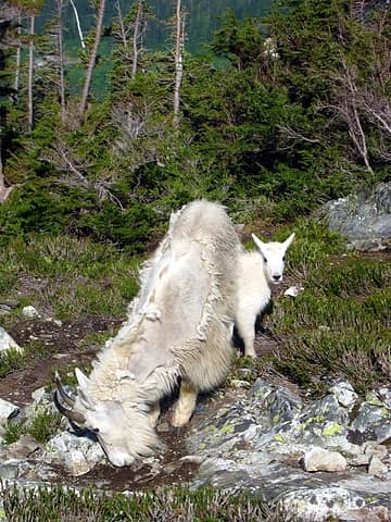 a lil' one 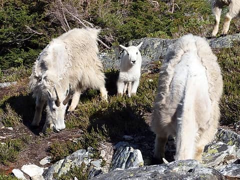 curious 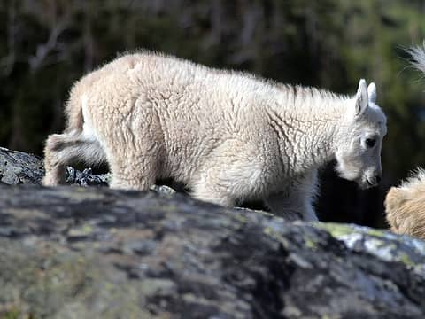 not licking very much, more just walking around 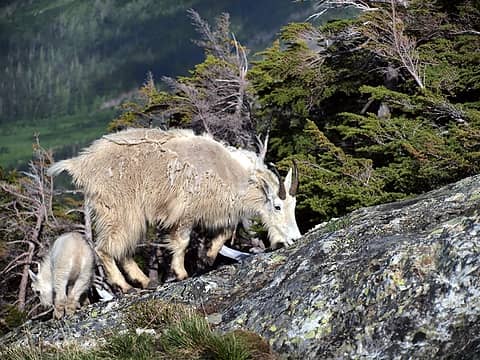 the leader of the pack 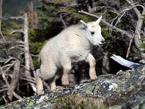 looks like a little toy 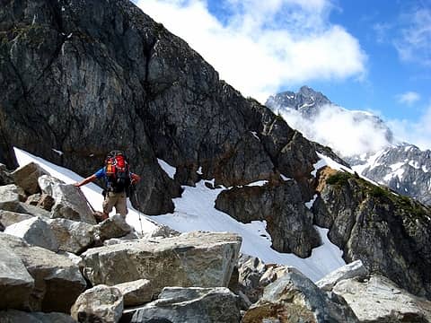 2 labels crossing boulders and recent avy debris to red ledges 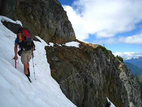 solid snow leading to the ledges 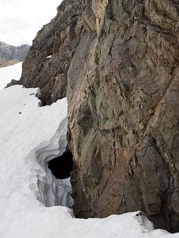 snow still filled in approaching red ledges 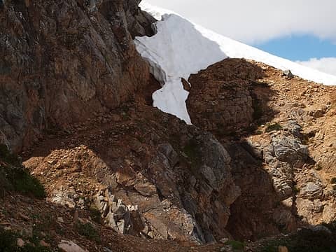 easy part of the red ledges 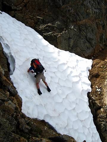 steep and exposed snow crossing 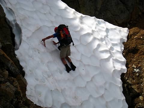 trust your feet 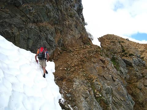 fun steps 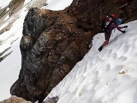 hotpantz' turn 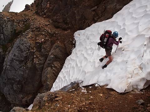 thinking happy thoughts about dirt and rock 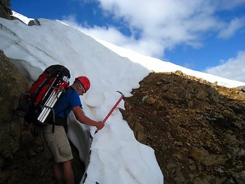 chopping steps for this spot 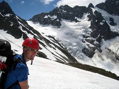 1 label ahh, new views of the middle cascade glacier 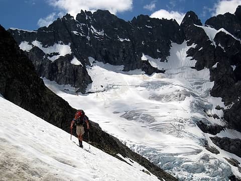 a sense of scale 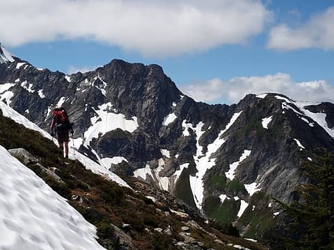 great alpine country  cascade palm trees 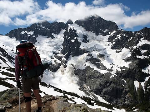 in awe 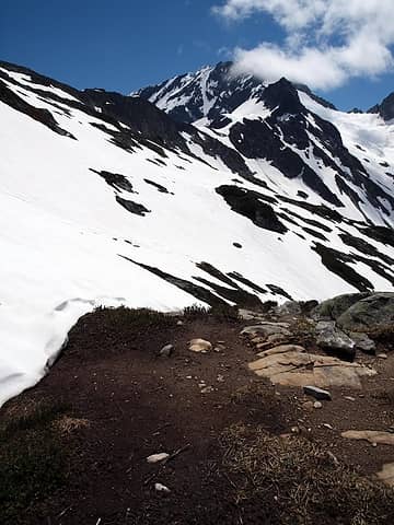 the supposed campsite at arts knoll? 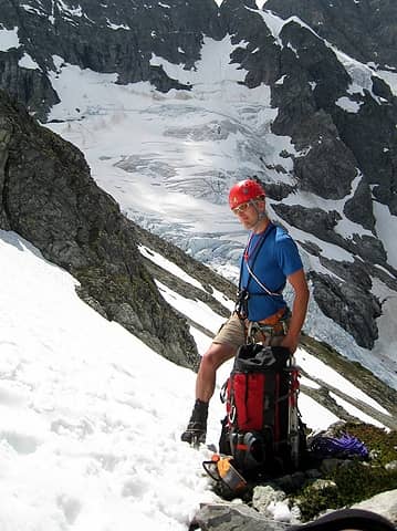 modeling the glacier gear 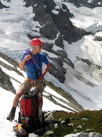 yeah... 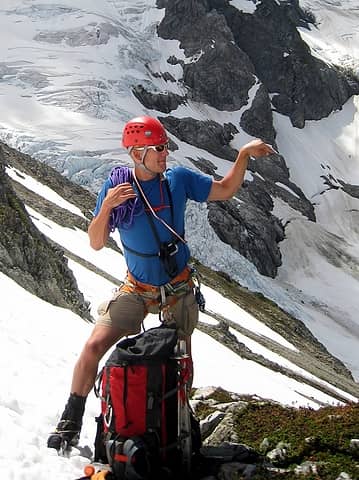 work it 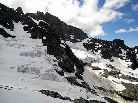 lots of ice 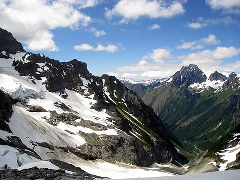 stark contrast 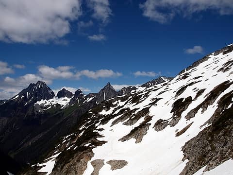 4 labels looking back on the route so far 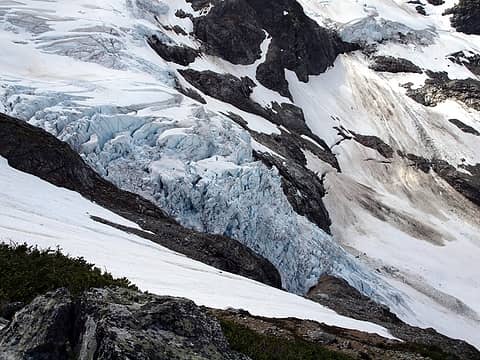 immense 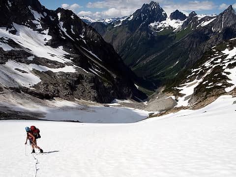 wowed by the thought of where we have traveled already 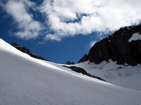 gentle slopes heading up 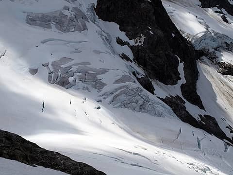 crevasses lower down on the middle cascade glacier 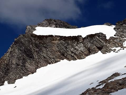 opposing angles 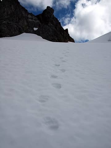 we were hot on the trail of another bear 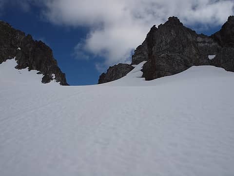 nearing the col 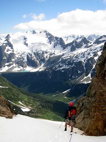 3 labels looking over the col at le conte lakes and mountain 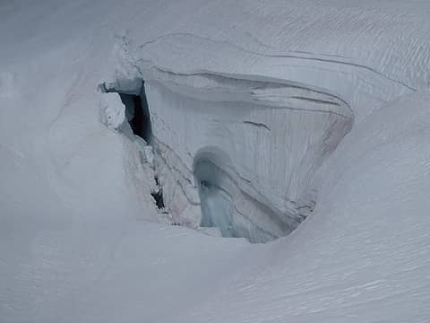 crevasse en route 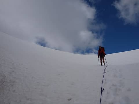 descending the steep side of spider formidable col 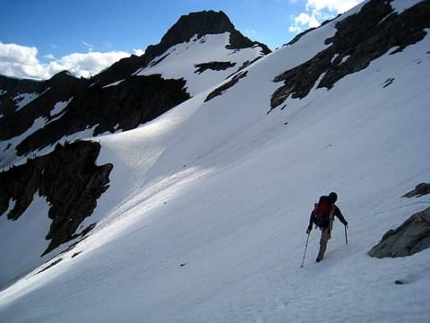 traversing to yang yang lakes  take the lower snow finger to more efficiently get to the lakes 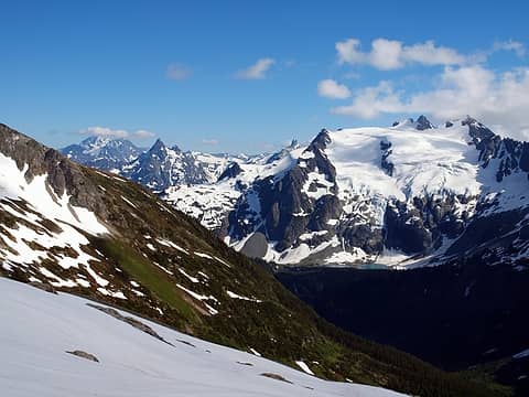 such a difference between mountain slopes 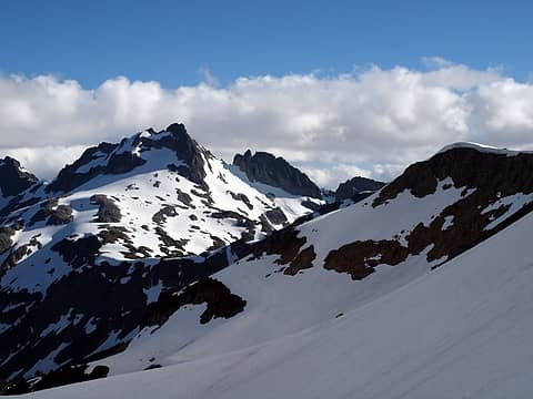 go down, go down! 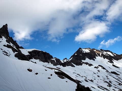 1 label looking back at spider formidable col 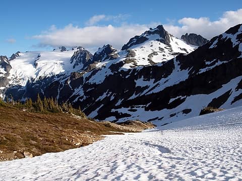 where snow meets summer 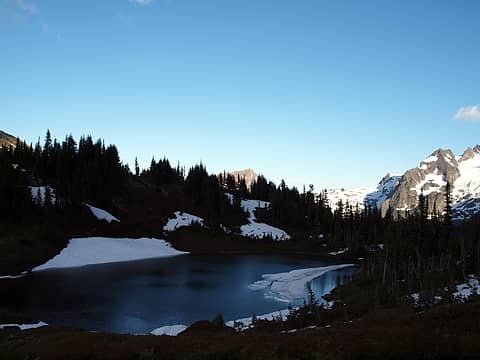 yang yang lake 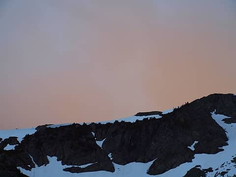 glowing skies 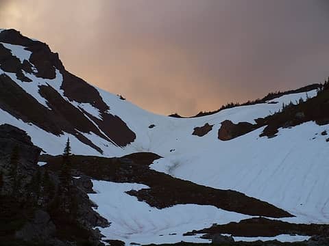 saddle above yang yang lakes 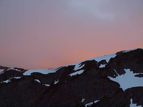 pink! 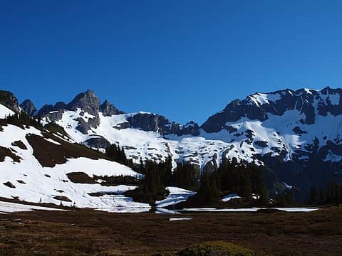 looking back at spider formidable col from yang yang lakes 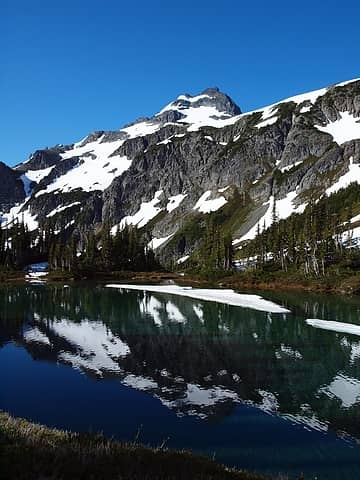 just right for a swim 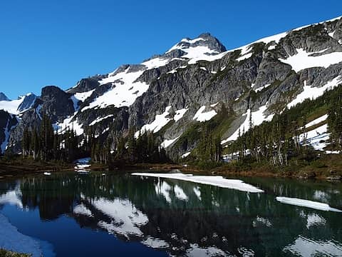 yep 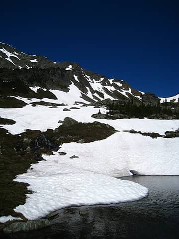 1 label looking up to saddle from yang yang lakes 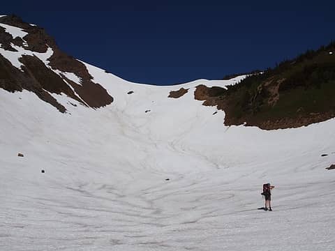 up and over we go 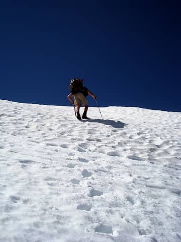 steepish near the top 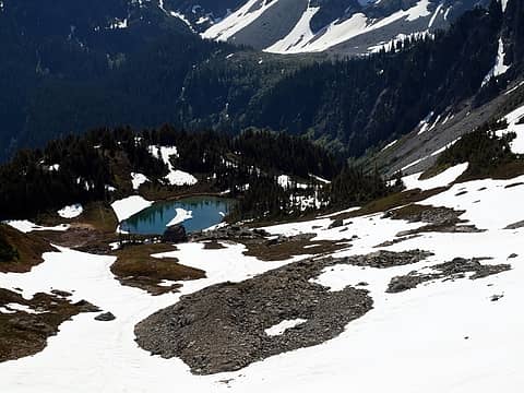 1 label perched on a platform before a big dropoff 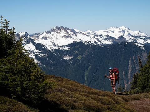 5 labels rounding the corner after the saddle, buckindy, snowking, and sonny boy ridge in background 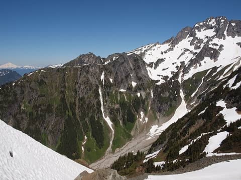 such simple colors 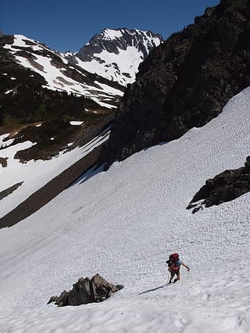 hotpantz digging in 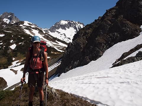 still smilin' 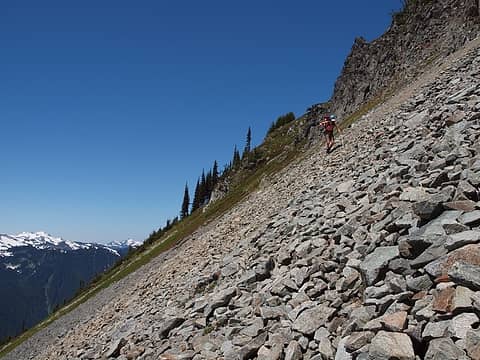 talus! 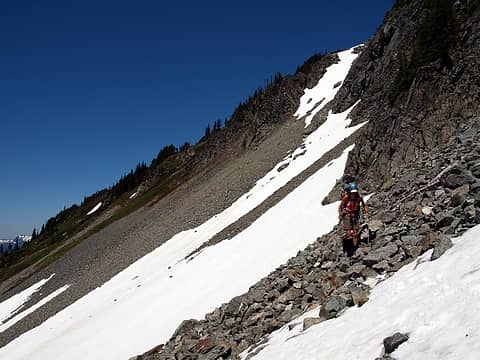 rejoining the good snowy terrain 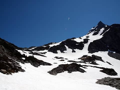 1 label looking up the basin with le conte waiting for us 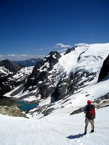 wishing we were at le conte lakes 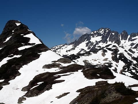 2 labels the bump west of yang yang lakes where the normal trail travels; we went around 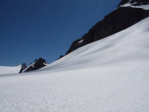 sentinel and old guard in the distance 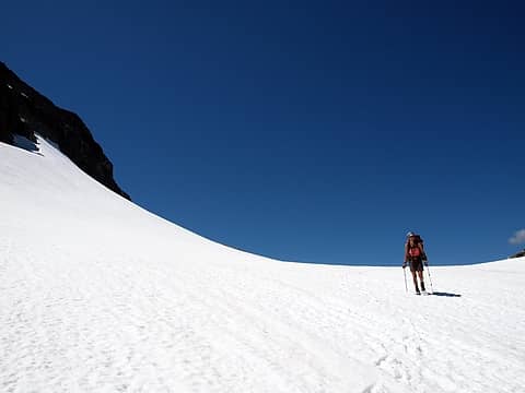 hotpantz enjoying the trek 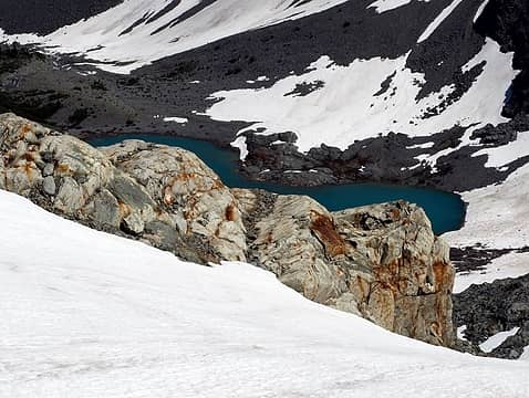 it's a bird-lake 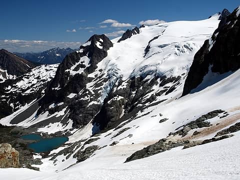 so wonderful 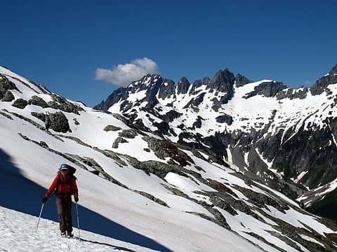 1 label it feels like a long way from the spider formidable col in this shot 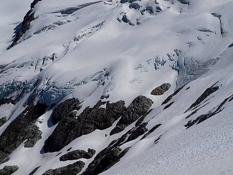 le conte ice 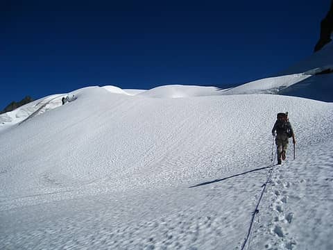 a big playground 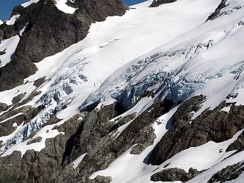 le conte ice 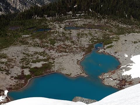 i think i see a viable campsite 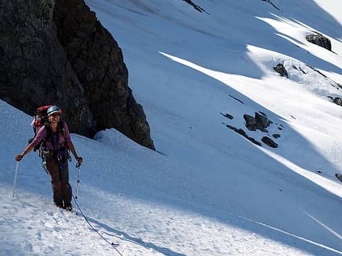 more smiles 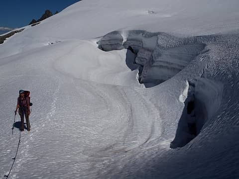 for scale 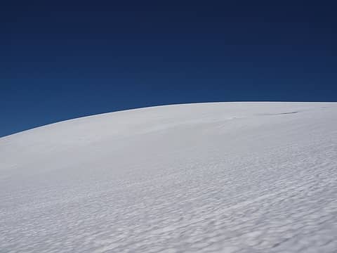 simple 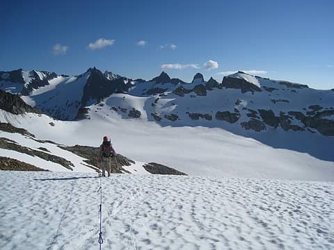 first sight of south cascade glacier 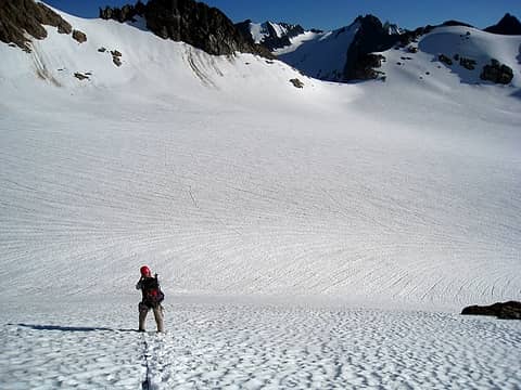 many tiny crevasses 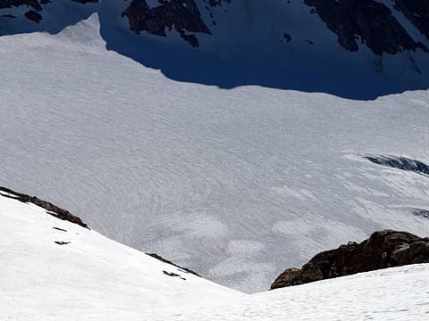 snow brush lines 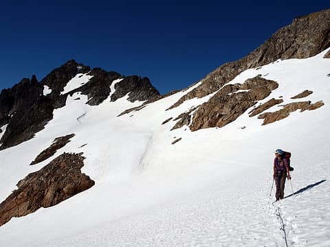 coming down from sentinel col to south cascade glacier 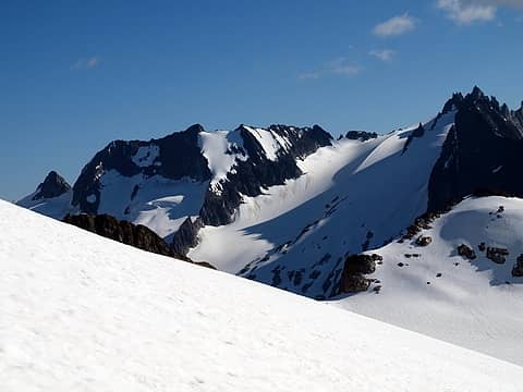 first sight of lizard mountain saddle down to white rock lakes 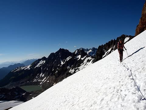 1 label hotpantz and south cascade lake 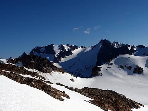 3 labels dome, spire, and dana glacier (all in distance) 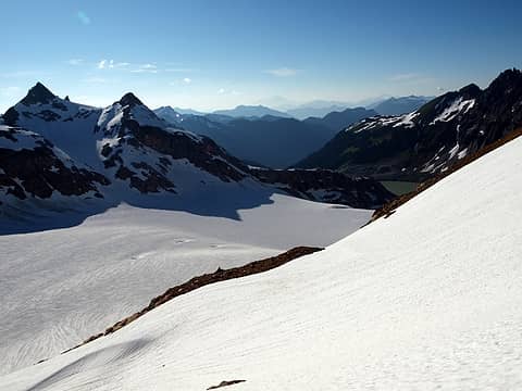 so much snow on the south cascade glacier!  south cascade crevasses 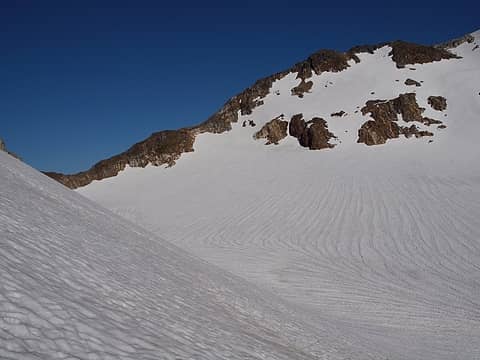 sweeping  snow! 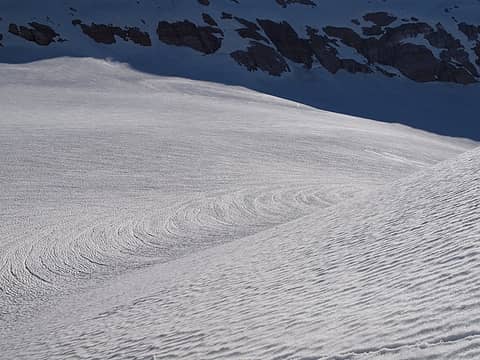 turning the corner 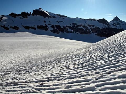 love it! 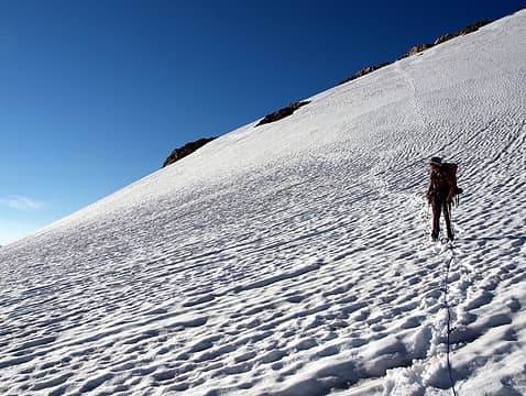 down from the saddle and onto the glacier 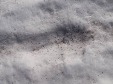 ice worms 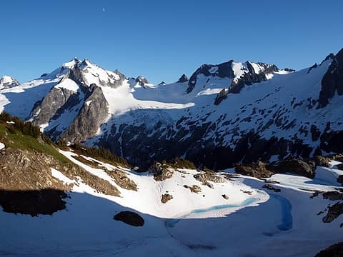 3 labels first views of white rock lakes with sinister, dome, and spire in the background 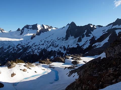 the three lakes 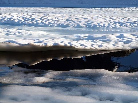 still frozen white rock lake  hotpantz' footprint after a slippery, intentional dip into the lake 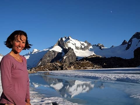 feeling refreshed after a swim 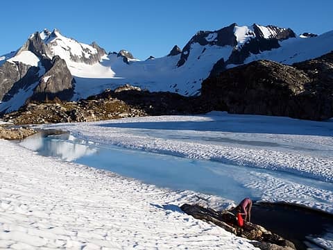 gorgeous area 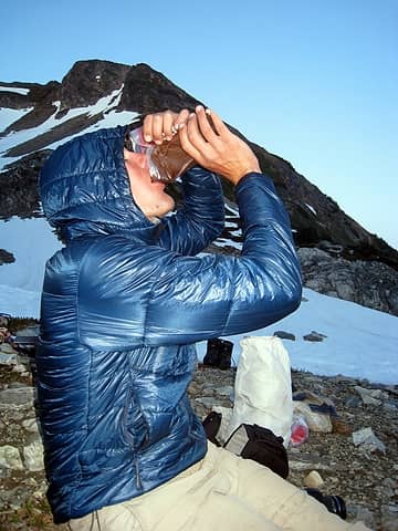 downing pudding dessert 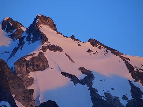 alpenglow 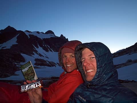 doesn't get much better  accidental long exposure of moon 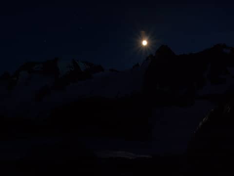 moon over spire col  ominous spire 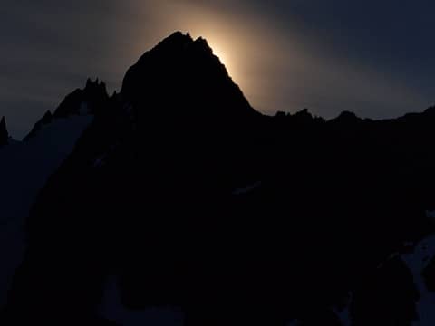 ooh 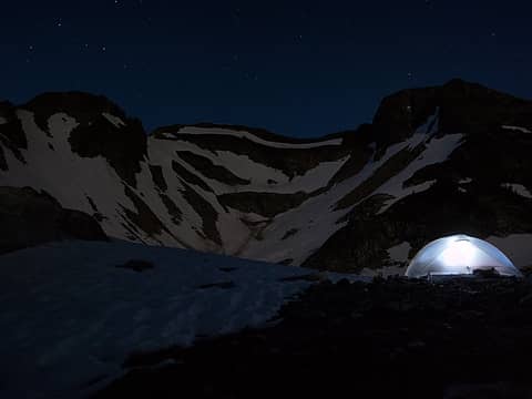 great tent site  gorgeous night 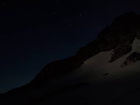 sparkling twinkles 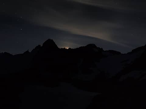 goodnight moon 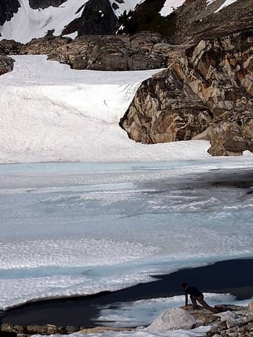 morning yoga 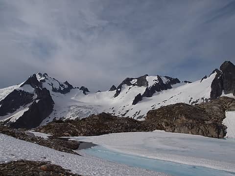 clouds! what are those? 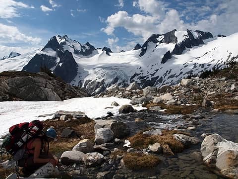 filling up with water before departing 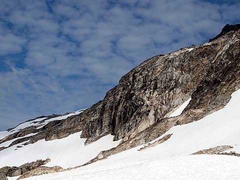 granite 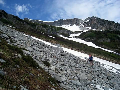 talus traverse beneath many waterfalls 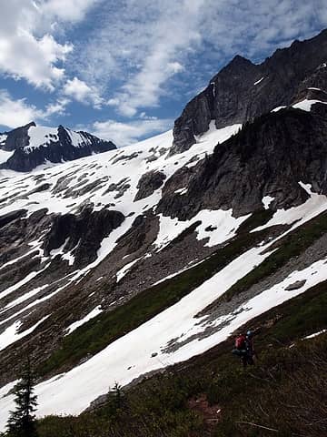 good to be reassured with a trail 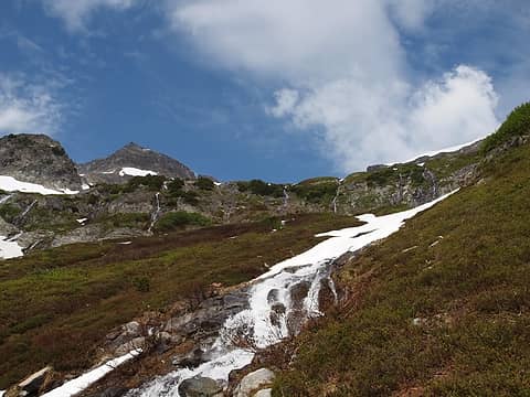 land of many waterfalls 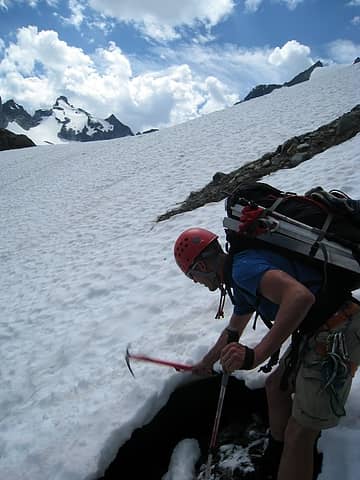 chopping down a snow bridge 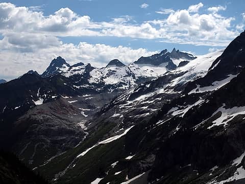 huge glacial moraine 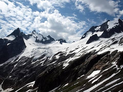 stay right and follow snow 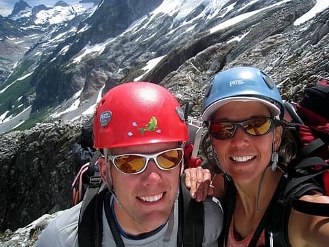 look at those pearly whites 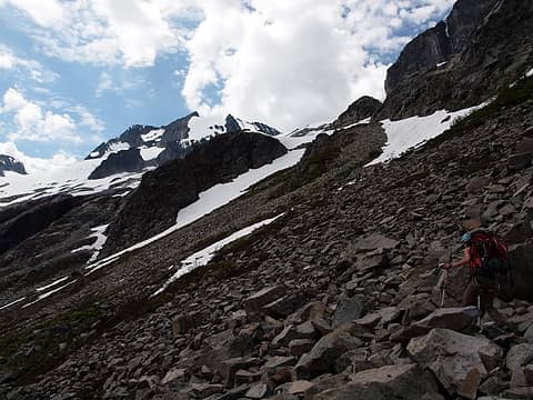 working towards snow 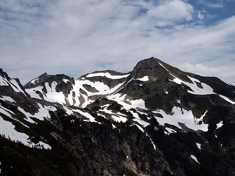 2 labels looking back at the white rock lakes basin 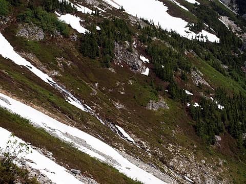 the most trail we saw on the ptarmigan portion of the traverse 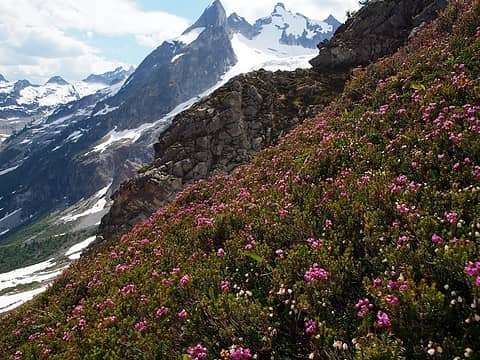 wonderful smells 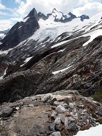 primo bivy site near the trail with running water 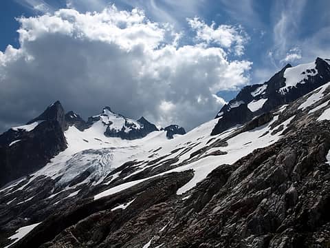 not liking the weather looming 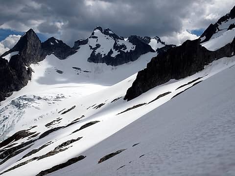 dana glacier 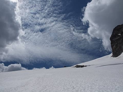 variable cloud cover 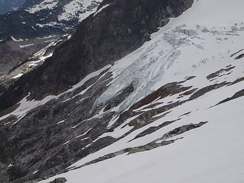 ice meets rock 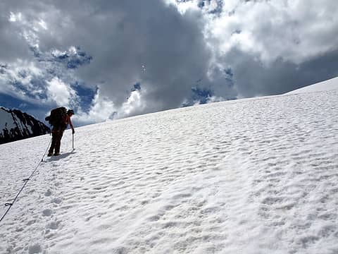 up we go 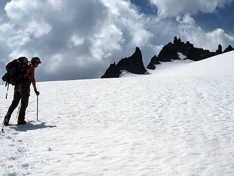 lots of spires on the way 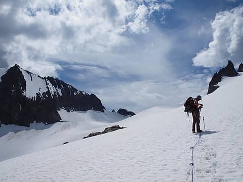 nearing the col 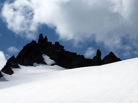 the clouds match the mountains 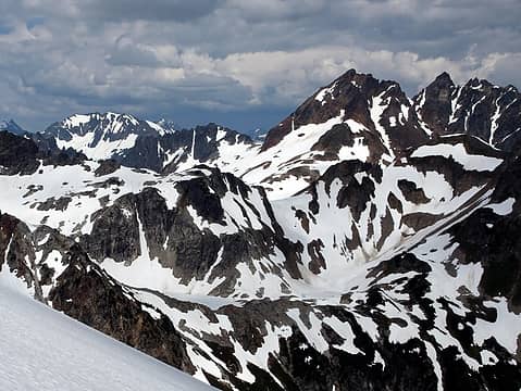 white rock lakes 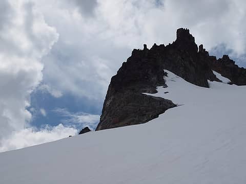 spire  where we want to be 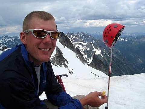 cheese at the col 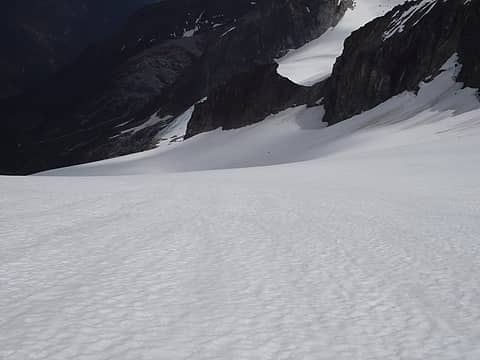 lots of snow below 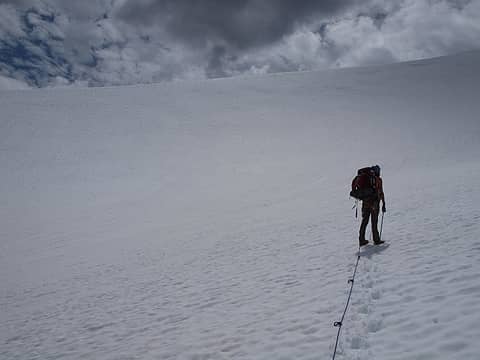 and lots above 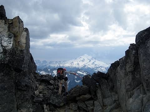 1 label looking for a place to cross over 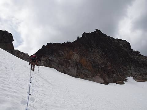 spire point 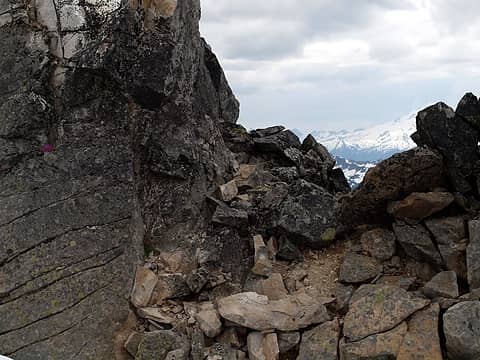 we thought the flower was spray paint from afar; nope. but, this is the right place to cross 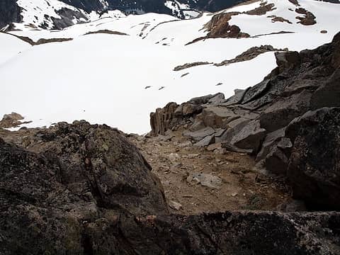 beaten path after the col 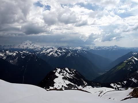 we don't have much time to make it to cub lake, below right 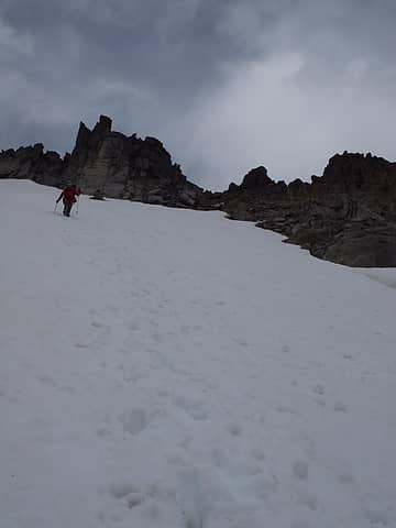 run! 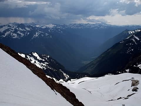 downpour coming our way 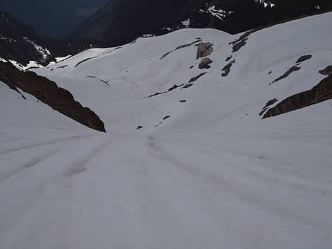 steepish descent 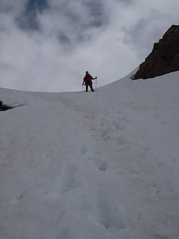 coming down 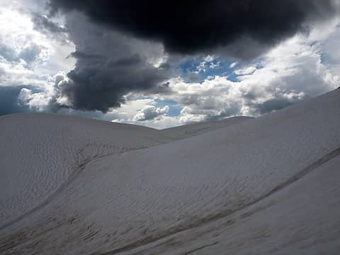 eek 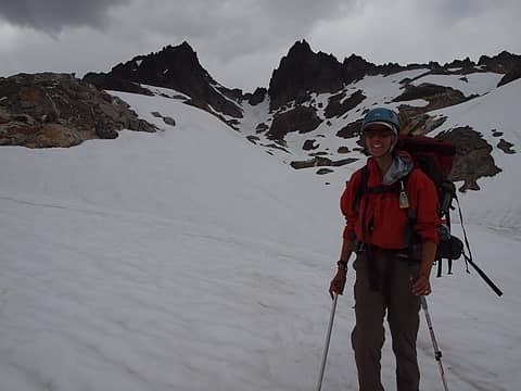 spire col in the back 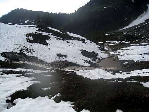 gorged streams following the dumping 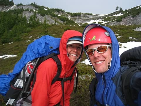 happy to start drying out 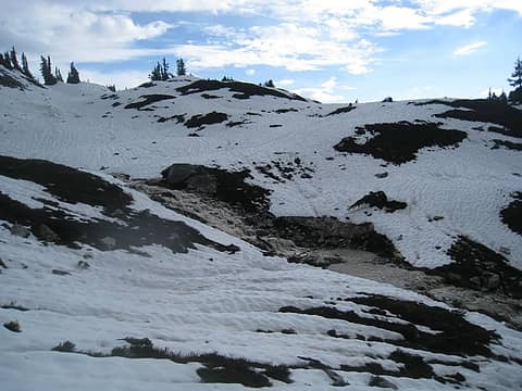 rushing water everywhere 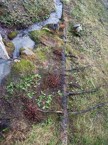 falled tree being absorbed by the earth 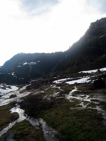 creeks forming everywhere 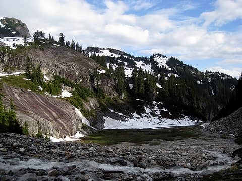 cool rocks 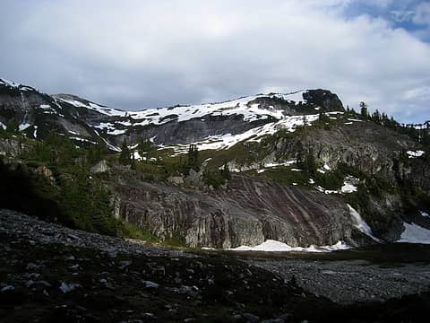 weather has passed 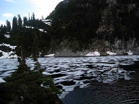 partially frozen cub lake 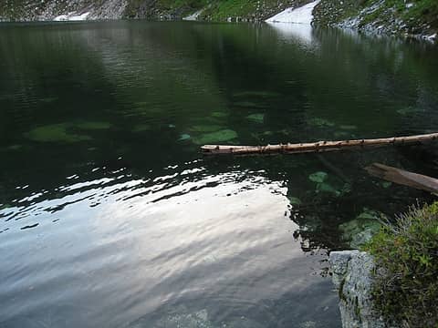 clear waters of cub lake 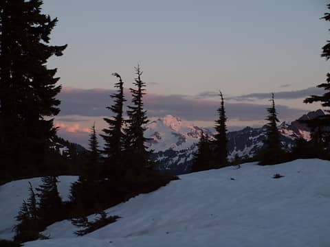 clearing skies on glacier peak 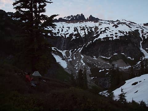 yet another primo campsite 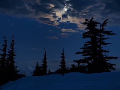 clouds obscuring moon 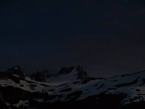 looking back at dome 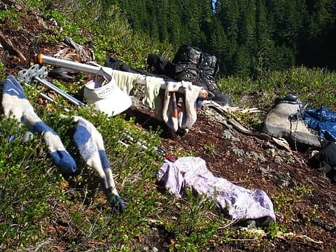 drying out in the warm morning sun 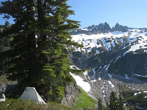 nice early morning sun 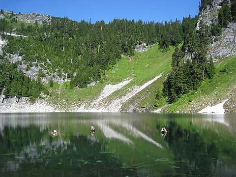 perfect for a dip, route to bachelor creek over the saddle in the background 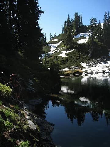 skirting cub lake 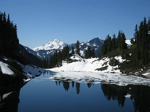 cub and glacier peak 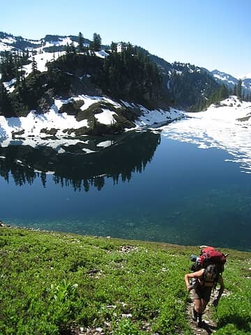 heading up the steep trail; watch for flying rocks! 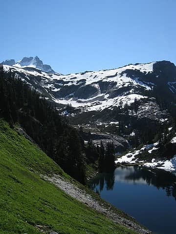 saying goodbye to dome 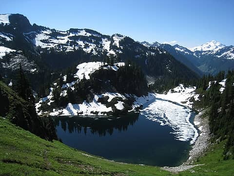 cub lake and our campsite on the bump 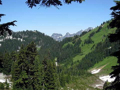 looking into bachelor creek area from saddle 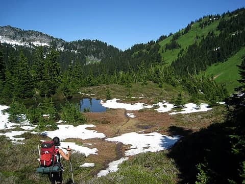 found the start of the trail! 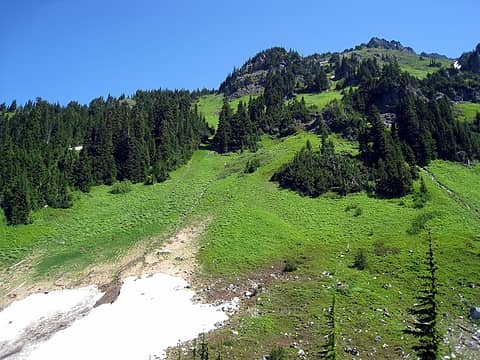 very green 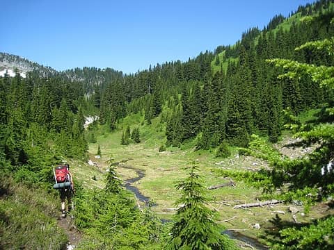 start of bachelor creek and incredibly clear waters 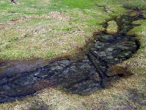 awesome creek, undercutting the surface on both sides 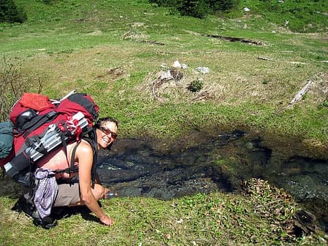 good spot for some aqua 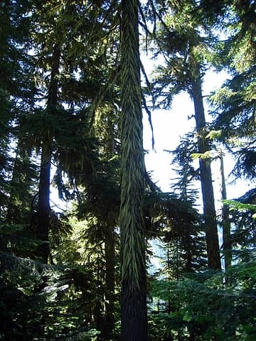 hairy tree 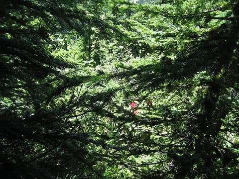 typical travel in this part 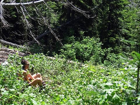 hotpantz putting on the pant legs 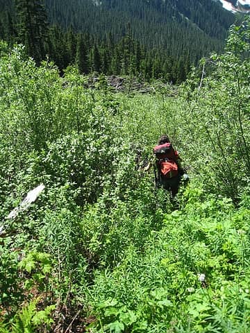 not too bad at this point 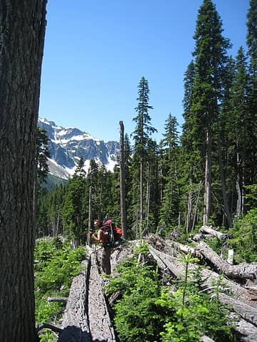 off the beaten path and through the downed trees 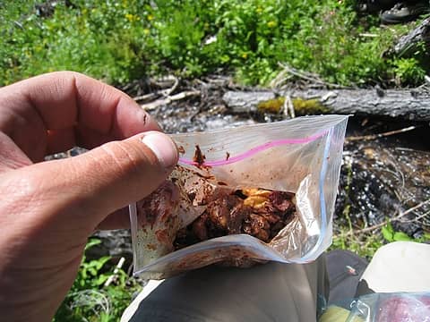 melted chocolate in the trailmix 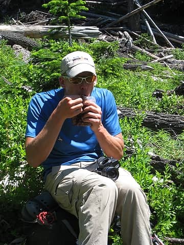 yum  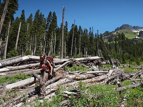 slow going, but easy 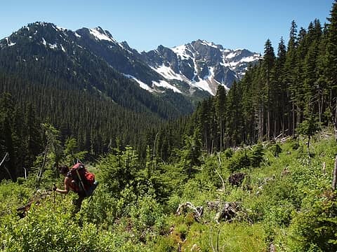 searching for the trail 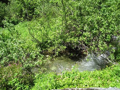 more awesome waters 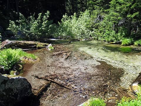 idyllic 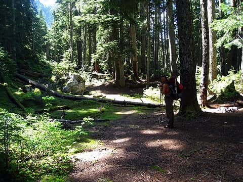 back on trail, found a nice campsite 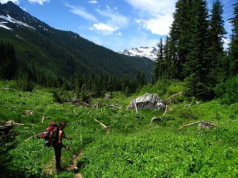 way green 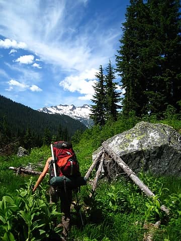 lovely 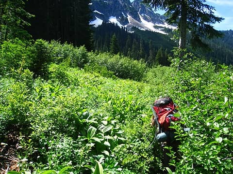 getting a bit brushy 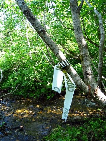 caution, this trail is not a trail 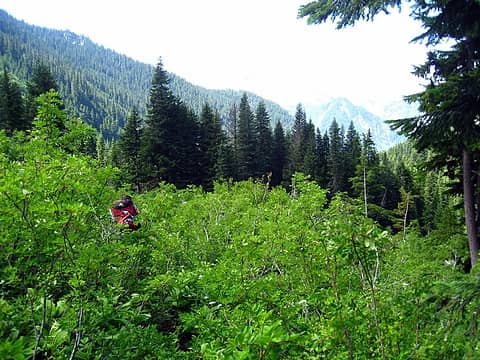 now at shoulder height 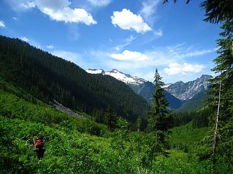 so close yet so far 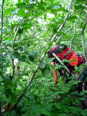 into the old growth slide alder 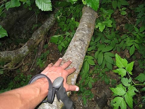 hefty slide alder trunks 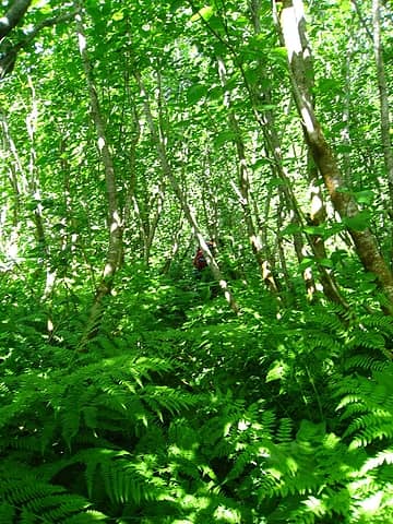 gotta stay close or you might lose each other 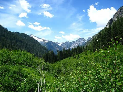 despite the annoyance, it was gorgeous 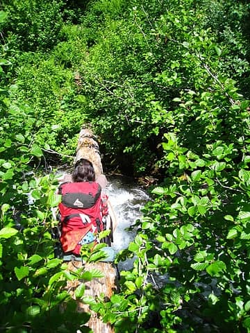 the bachelor creek log crossing 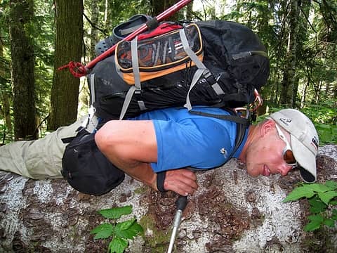 easy to rest while crossing large logs 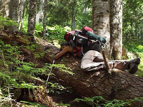 yep 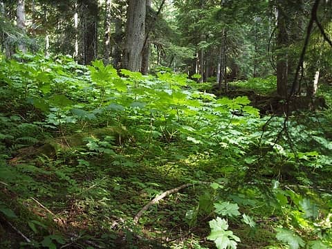 oh joy 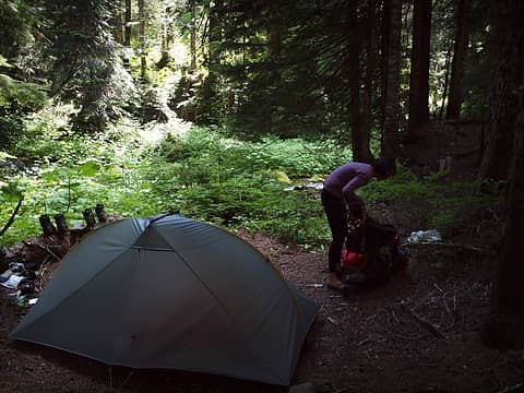 a fine campsite near 3400' 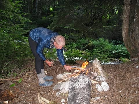 nice fire ring too  nice 'n warm
|
| Back to top |
  
|
|
iron
Member
Joined: 10 Aug 2008
Posts: 6392 | TRs | Pics
Location: southeast kootenays |
|
iron
Member
|
Tue Jul 27, 2010 1:49 pm |
|
|
day 6: bachelor creek to bench lake
we woke up to overcast skies which would keep most of the day. the trail down to downey creek from our campsite was significantly easier and actually enjoyable. great forest, not unlike that along the suiattle river trail.
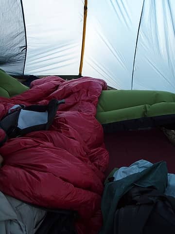
 bachelor creek from campsite 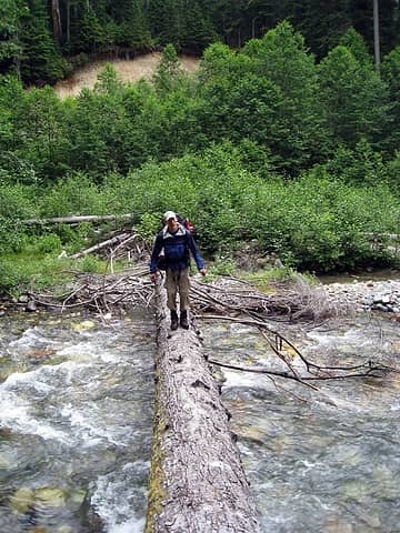 crossing downey creek 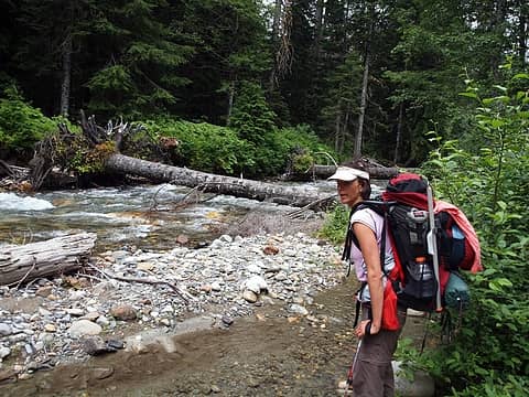 eyeing up the downey creek crossing 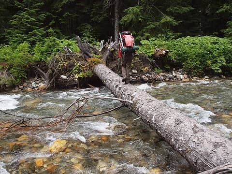 fordable, but much better on the log 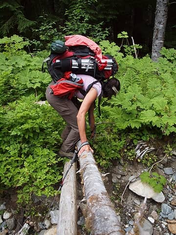 handrail 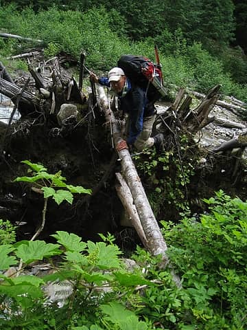 over the rootball and using the handrail 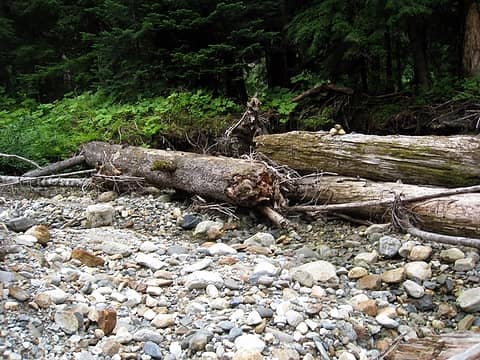 cairn on logs 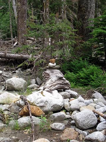 more cairns 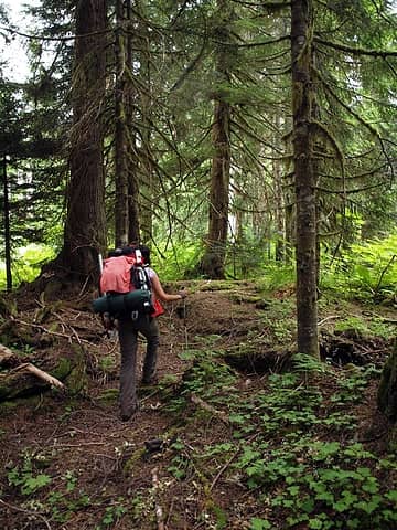 finding boot tread on west side of downey creek 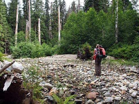 following dry creek bed 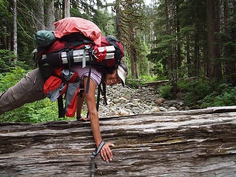 doing a plank pose because she can  someone left me a note 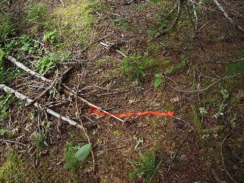 we're on a trail! 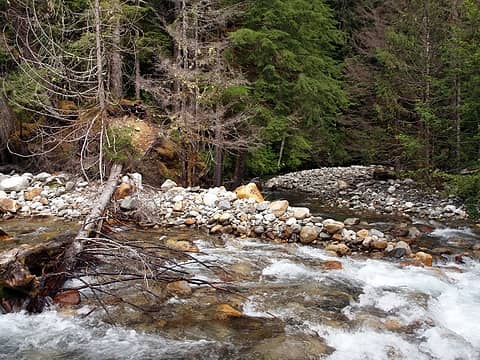 2 labels junction of goat (left) and downey (right) creeks and start of ridge up to bench lake 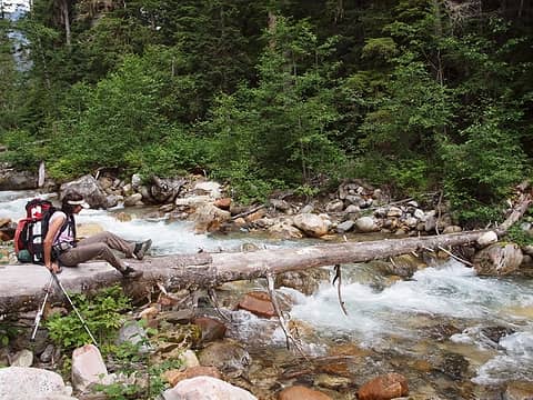 hotpantz bravely making the crossing of goat creek 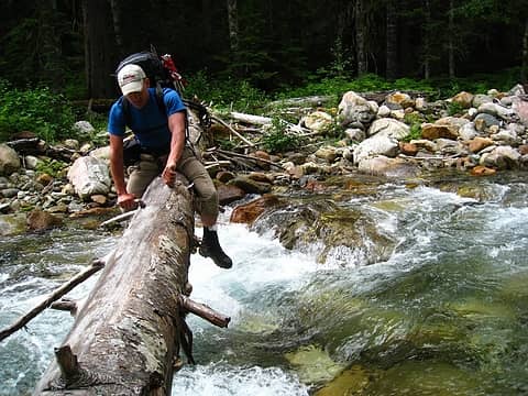 1 label unpleasant crossing of goat creek 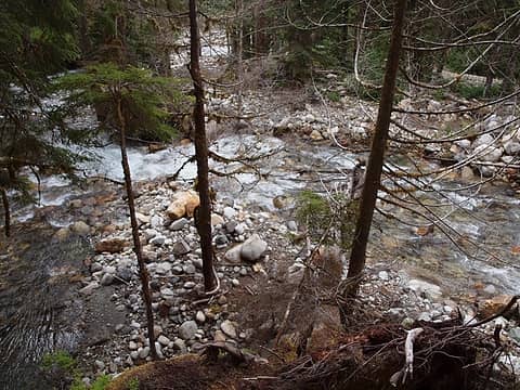 looking down at creek junction 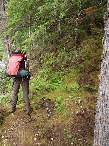 trail becomes defined at ridgeline 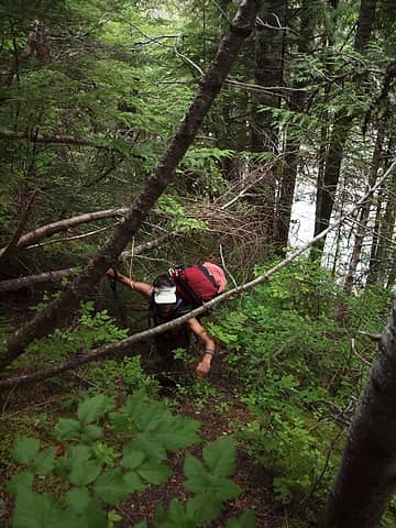 steep 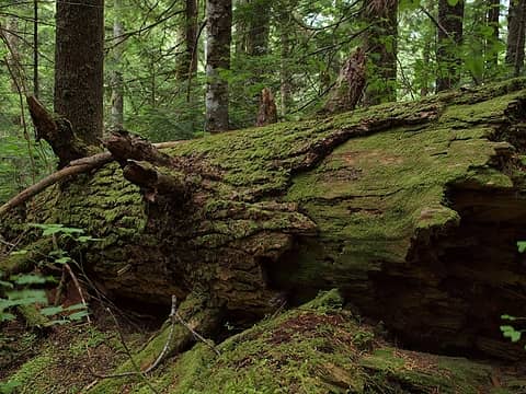 green and mossy 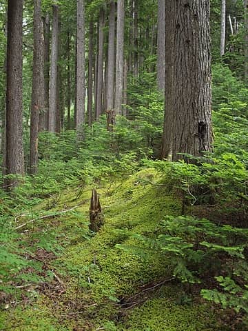 lots of blazes to follow 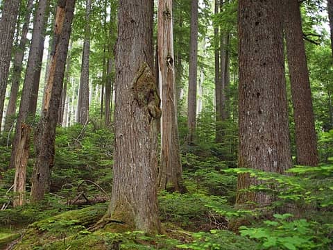 mature forest 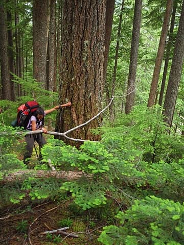 some blowdown to start 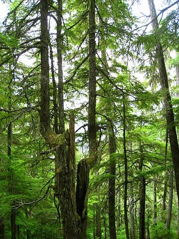 split and a double jog 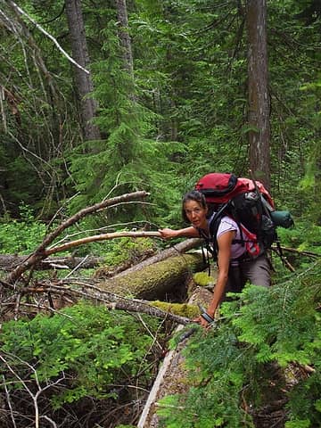 joyous rambling on big trees 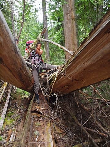 taking the low road 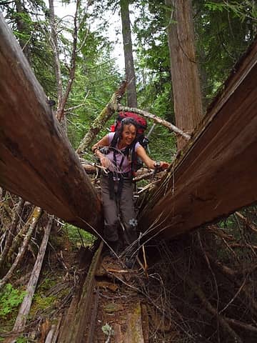 duck! 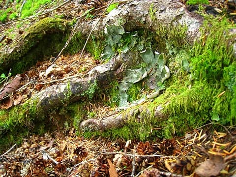 lichen 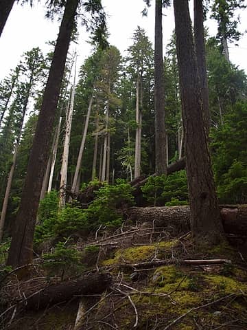 blowdown area 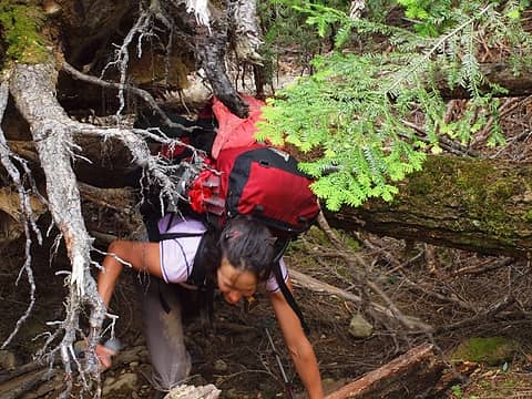 easy going 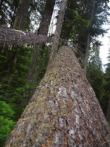 cantilevered trees off to nowhere 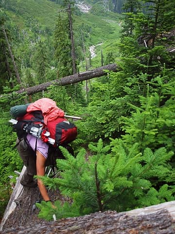 1 label fun to be on top of downed trees looking down 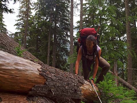 showing off mad balance skillz 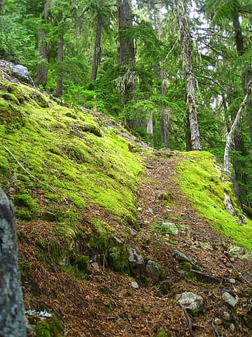 back on trail 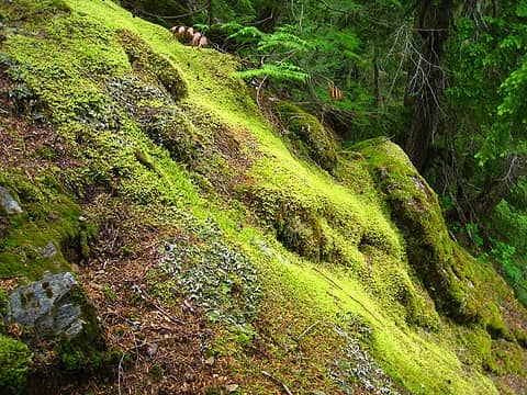 mossy 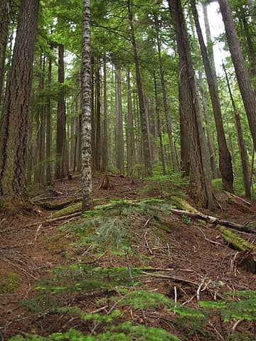 tall trees 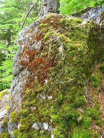 mossy boulder 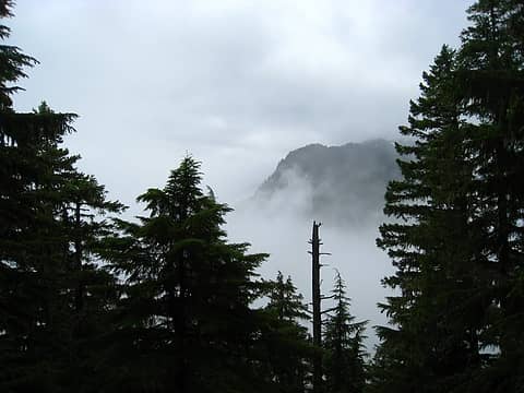 foggy valley below  lots of bark, little core 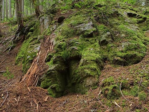 brown or green, that's it 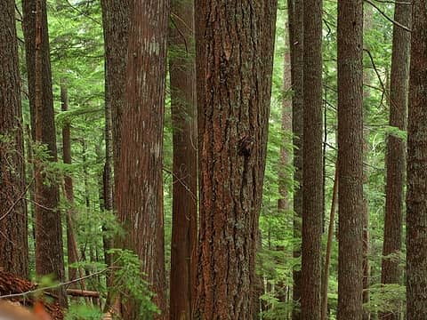 healthy trees 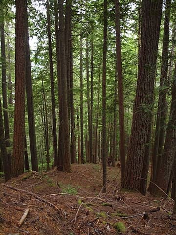 nice clear understory  lichened boulders  signs of former trail maintenance 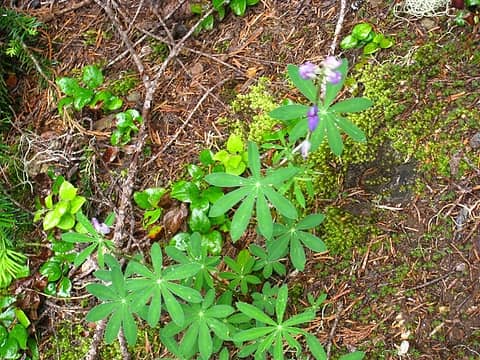 odd place for a lupine 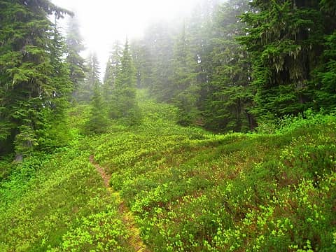 ridge flattens out and leads to views of lake 4936 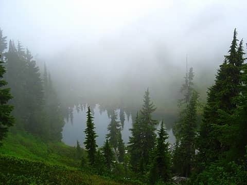 lake 4936 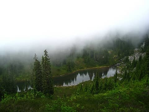 lake 4936 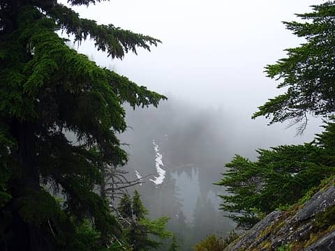 signs of bench lake 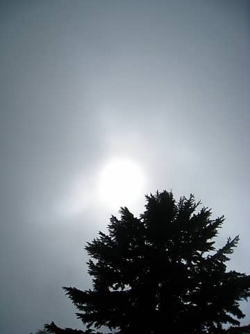 it tried all day long 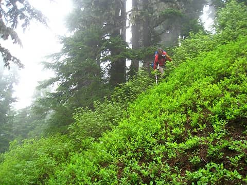 off planned route to bench lake 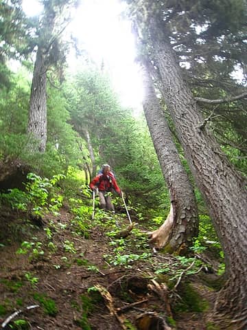 steep descent 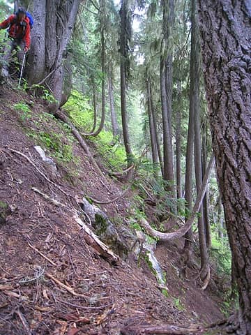 even steeper 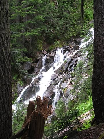 bench lake outlet 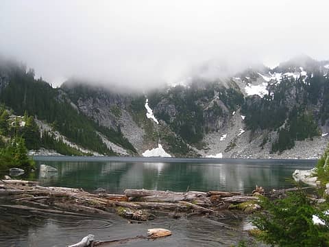 bench lake! 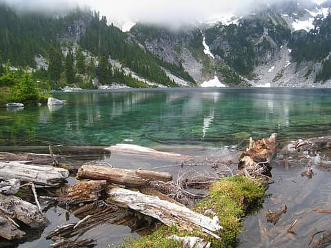 log jam, walkable, but slick 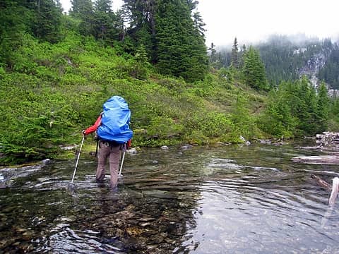 outlet ford 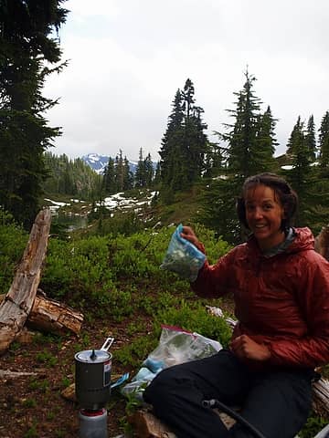 dinner time! 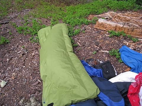 condition of my sleeping pad, baffles nearly all disconnected 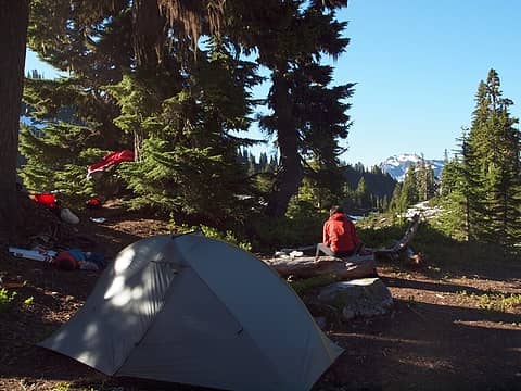 campsite at bench lake 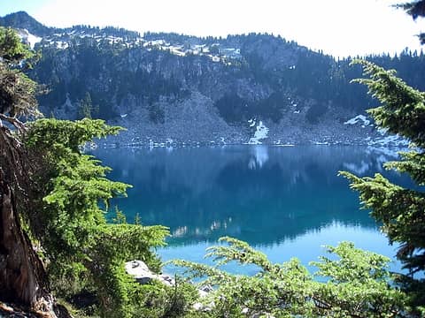 a warm bench lake 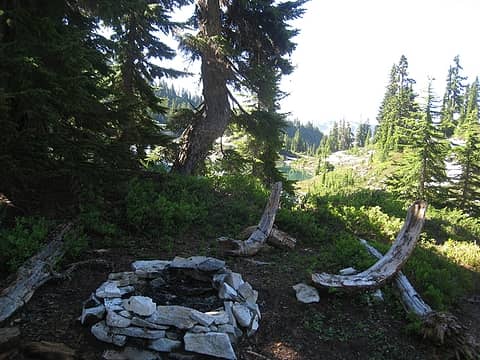 fire ring (above 5k) and carved chairs 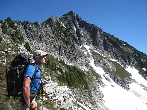 looking down on bench with bruseth in the back 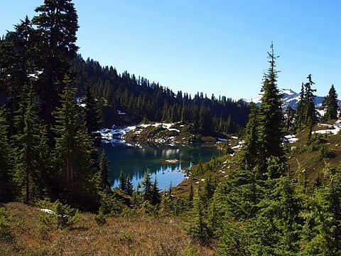 farewell bench 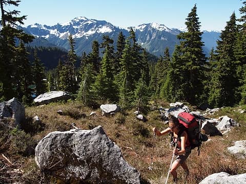 heading up to saddle 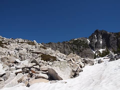 boulders and snow take you around bruseth 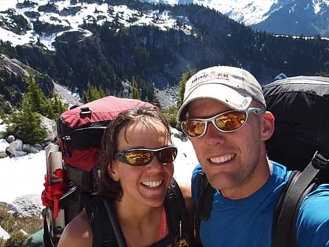 pretty stoked about the clear weather and warm temps 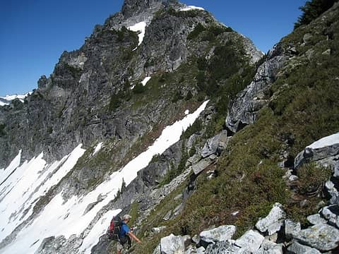 steep heather trekking 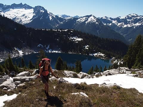 hotpantz and bench lake 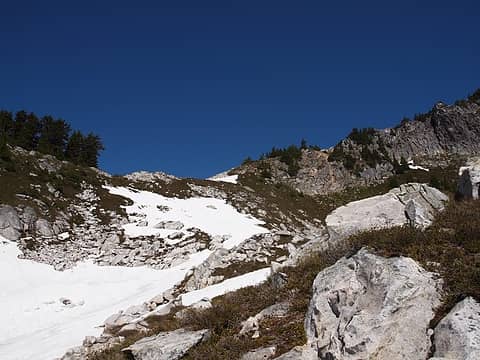 easy terrain ahead 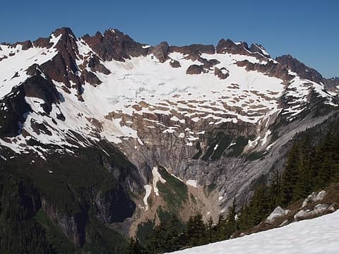 buckindy  quartz and granite conglomerate 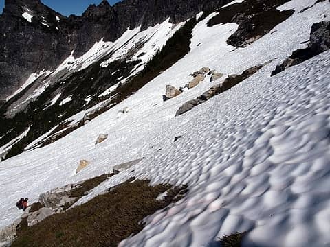 snow made for much easier travel 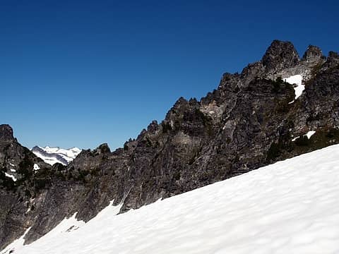 ridges in these parts are NOT easy to run 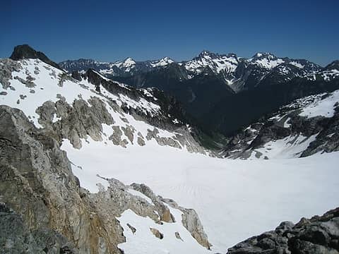 bruseth glacier 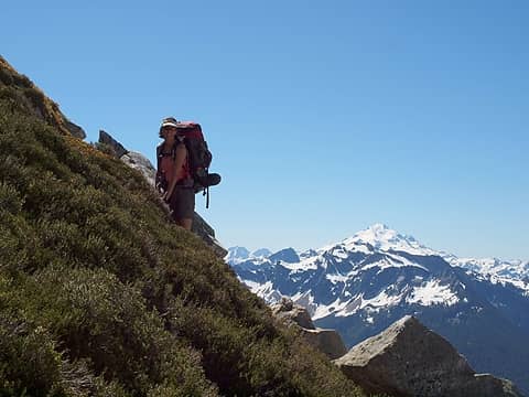 steep heather traverse 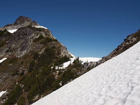 1 label saddle between 7103 and 7220 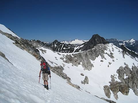 around 7103 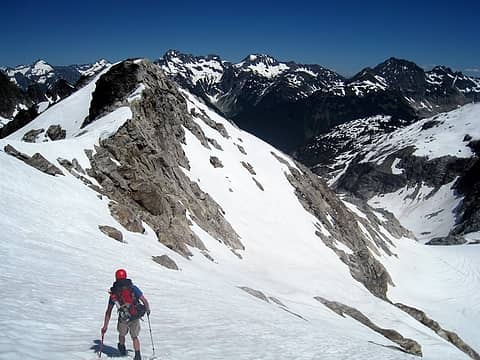 onto the next saddle 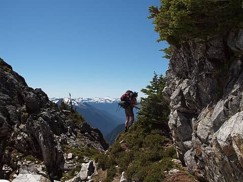 hotpantz searching 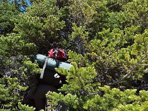 thick tree travel 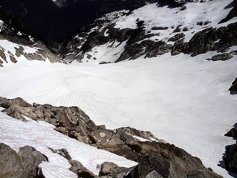 still a lot of snow up here 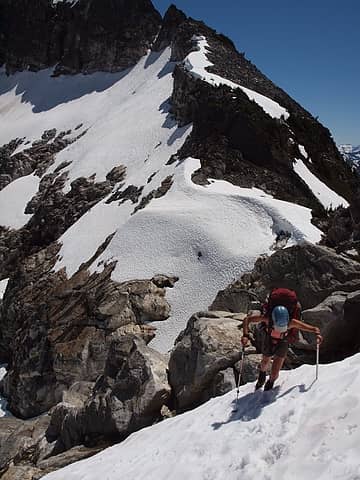 heading up from saddle 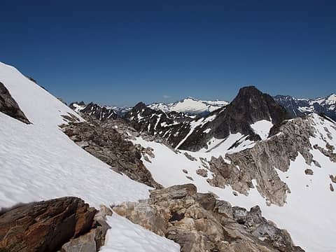 ridge ahead, with sonny boy just out of sight on left 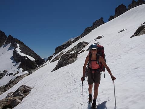 still smiles on day 7 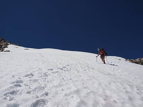 coming down from saddle 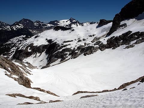 2 labels looking back at le conte glacier from above bruseth glacier 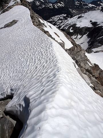 gentle knife edge 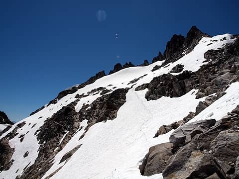 sure, run the ridge 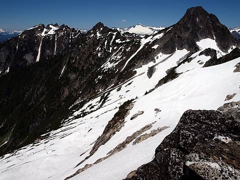 2 labels dropping down from saddle via zigzag; sonny boy peak on left 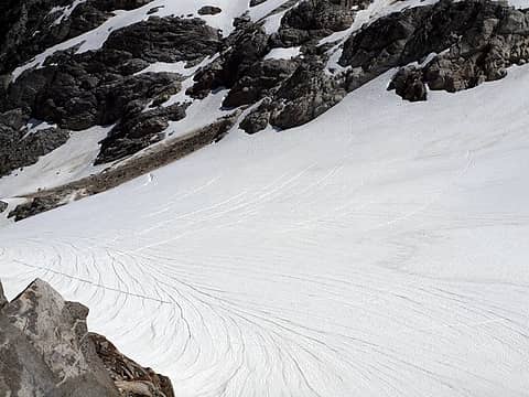 crevasses on bruseth glacier 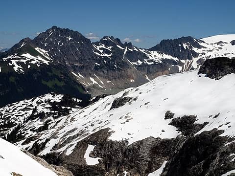 south cascade lake 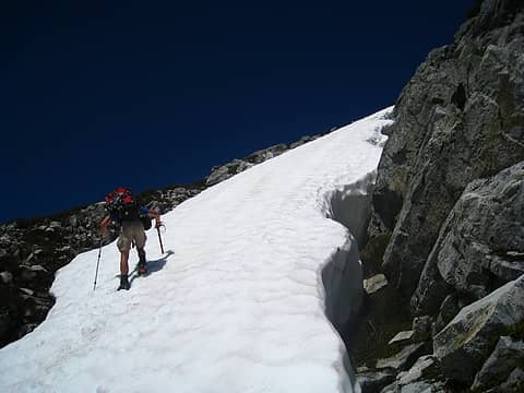 finding the snow finger of deliverance! 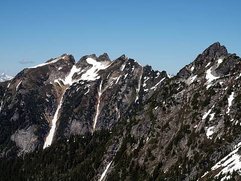 1 label sonny boy! so close, but so far... 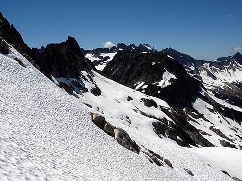 good snow coming from bruseth saddle 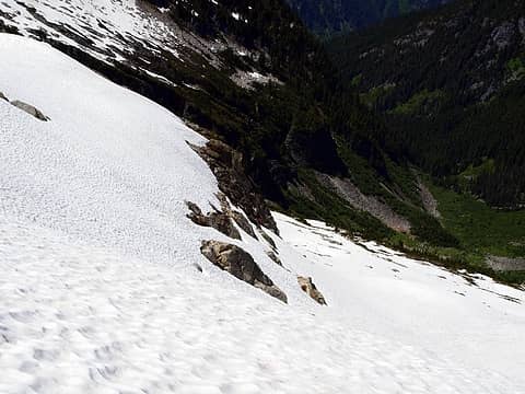 tremendous relief in most of the area 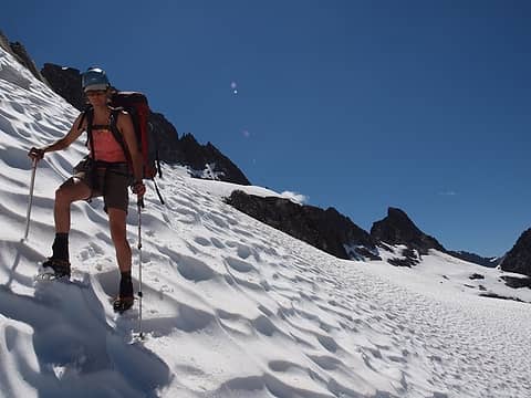 huge suncups 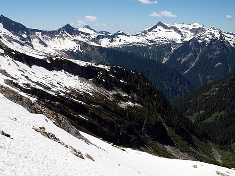 1 label snowking and kindy creek area 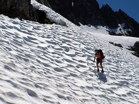 in a wavy sea 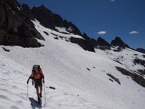 good to be on snow 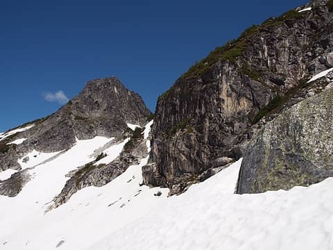 cliffy along most of the ridge 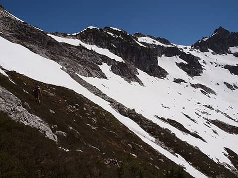 heather traverse 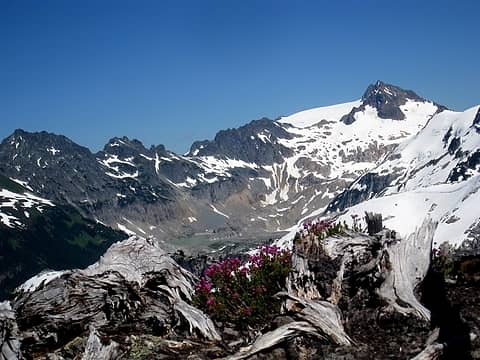 flowers and le conte glacier with south cascade lake in middle 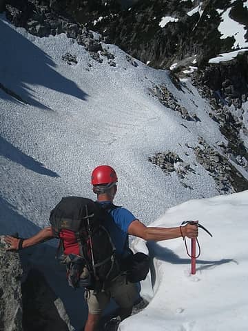 taking a look down 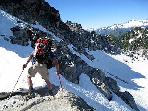 rugged ridge 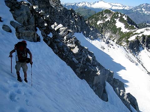 1 label falling traverse to reach saddle leading to bench mountain (right) 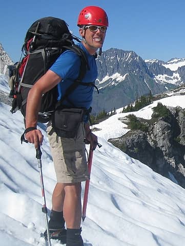 yum, snow 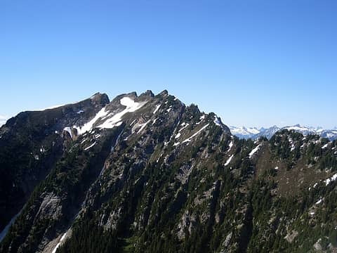 doesn't look very appealing to stay on the west side of the ridge to sonny boy 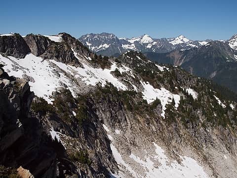 a narrow band of practical travel 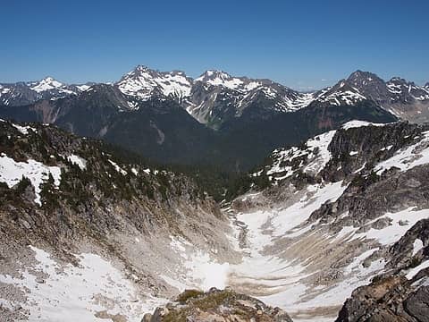 basin feeding long gone lake (left, out of picture) 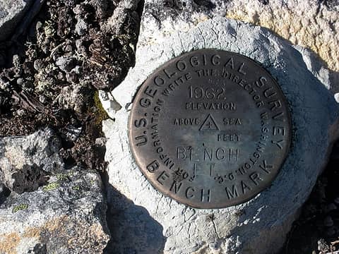 bench bench mark 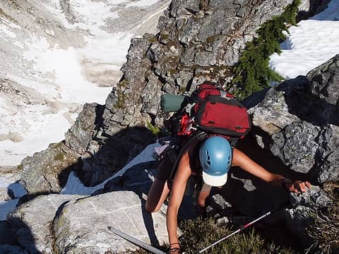 a little exposure 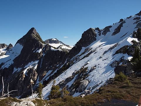 1 label looking back to bruseth and saddle we came through 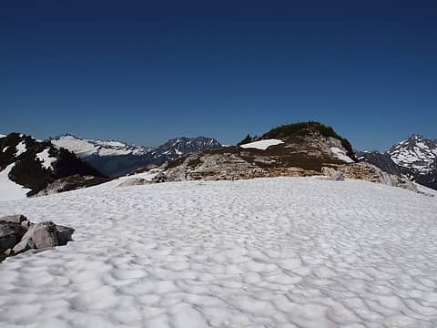 bench mountain is very bench-like 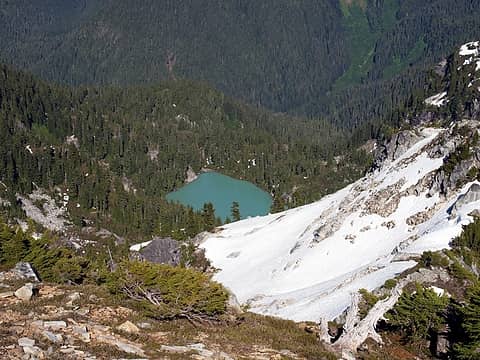 long gone lake 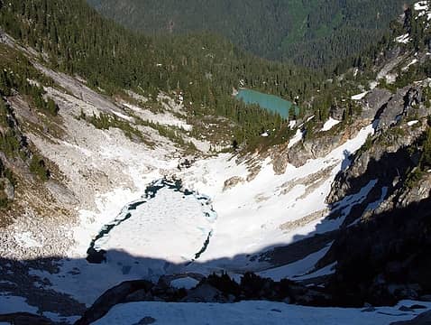 upper and lower long gone lake 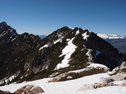 ridge looking north from bench summit 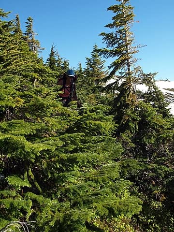 oh crap, trees 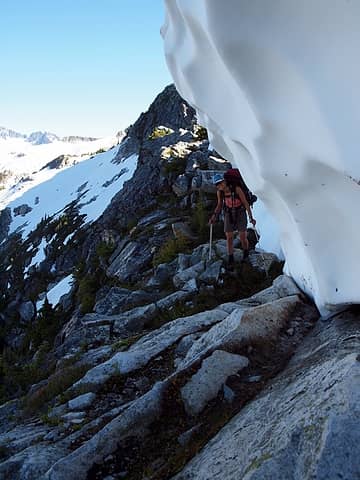 leaning to avoid snow 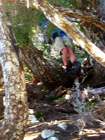 steep terrain within the trees 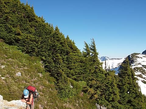 thick trees! 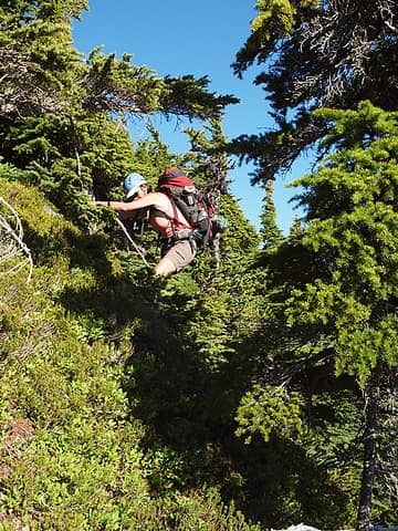 veggie belays 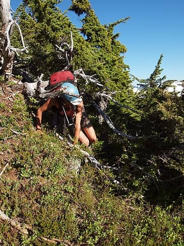 crawling to escape 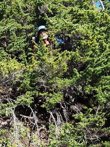 gasping for oxygen 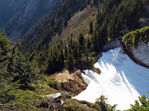 the elusive and hard-to-reach saddle we'd eventually camp at 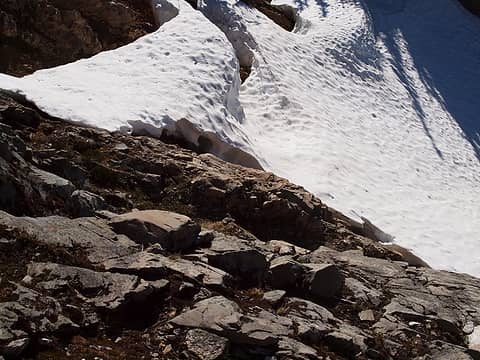 steep and loose if you go east to the saddle 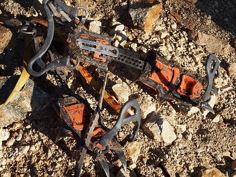 crampons more useful on dirt this day 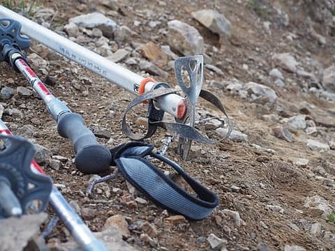 good ole dirt axe 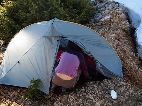 tight space for the tent on the saddle, hotpantz organizing the sleeping system 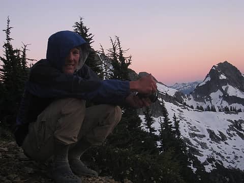 shooting sunset from camp 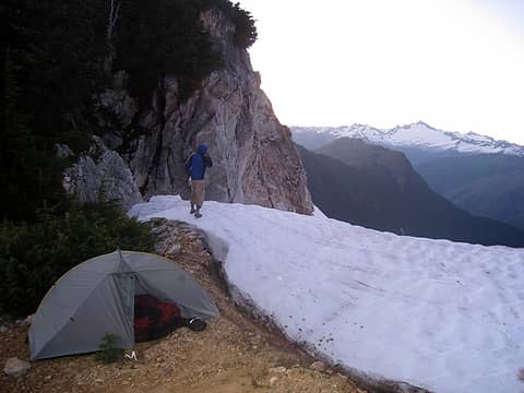 scoping out a route for tomorrow, in crocs, while brushing teeth 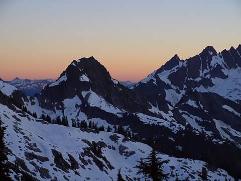 sunset to the south 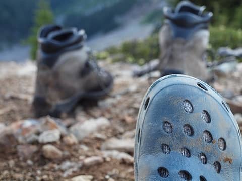 crocs >>> boots 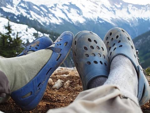 love
|
| Back to top |
|
|
iron
Member
Joined: 10 Aug 2008
Posts: 6392 | TRs | Pics
Location: southeast kootenays |
|
iron
Member
|
Tue Jul 27, 2010 1:49 pm |
|
|
day 8: saddle to cascade river
well, today was it. bittersweet. somewhat nerve wracking. will it go? what kind of crap would we find on the rest of the ridge? the density and difficulties of the trees had me worried. hopefully the snow route would go.
and it did!
we dropped from the camp saddle several hundred feet and began traversing. everything went. simple. our spirits soared again as we could see the ridge leading back to cascade river. unfortunately, we were too eager to get up to sonny boy and went up the wrong gully. i suspected as much in looking at the map, but i figured we'd be able to make it work regardless. it added considerable difficulty and time to the trip, but we wanted to come out in the dark anyway.
 crowded tent with backpacks, pads, and bags 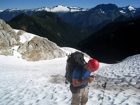 1 label checking the map, a consistent theme this day 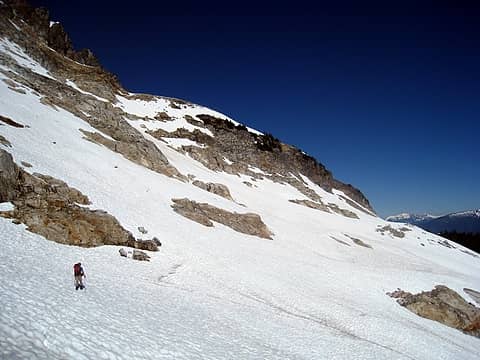 it looks like it goes 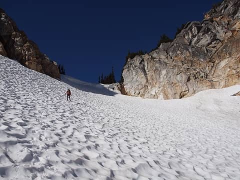 hotpantz coming down from the camp saddle 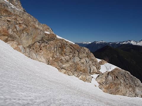 rib in your way to start the day 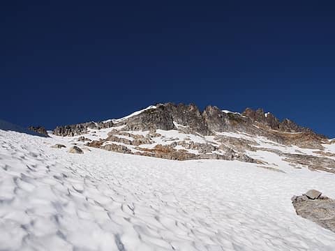 still rugged ridge above 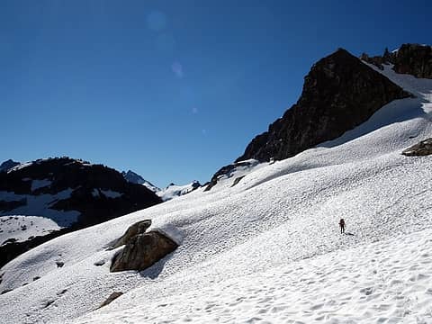 traversing from the saddle 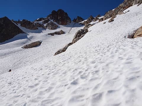 wonderful 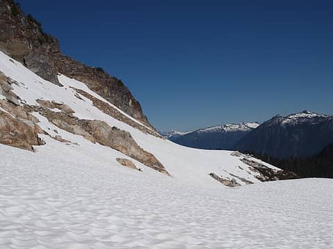 nice walking surface which wraps around the corner 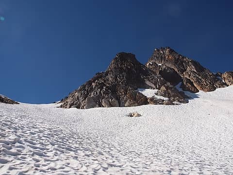 hey look, a good looking gully to go up (DON'T!!!) 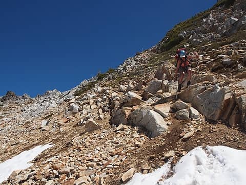 crossing one final gully to get to sonny boy 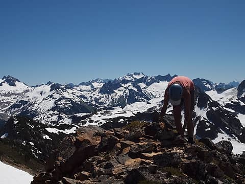 hotpantz searching for a summit register (none found) 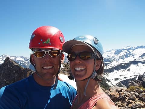 happy times on sonny boy 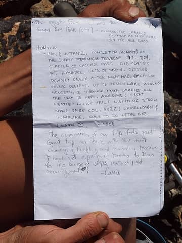 impromptu register paper 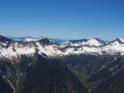 2 labels huge drainage basin we'd later have to cross with a kindy creek ford 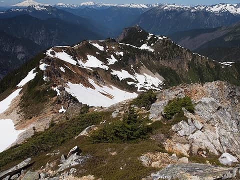 a couple points between us and the easy ridge beyond 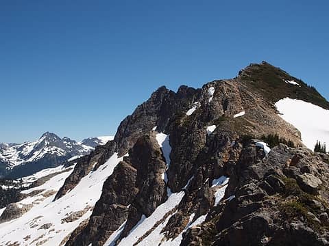 1 label saying farewell to sonny boy and high alpine 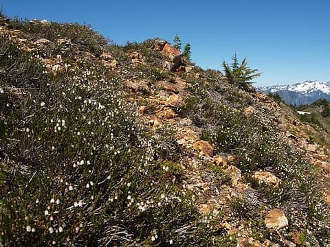 more great colors  cub tracks 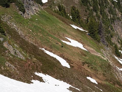 then we saw these guys 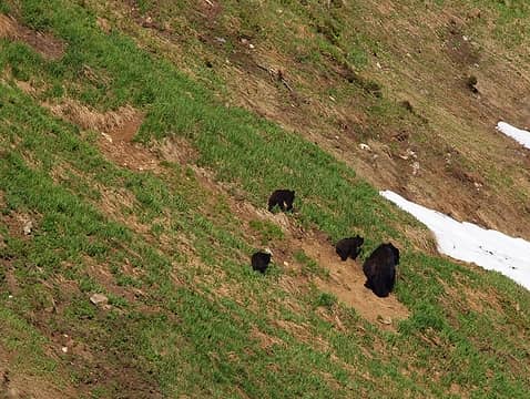 so cute 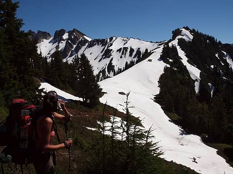 phew 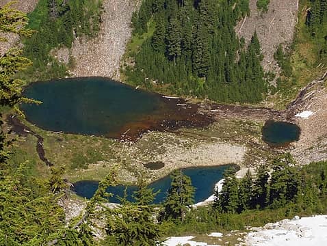 sonny boy lakes no. 2 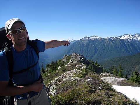 let's go thataway 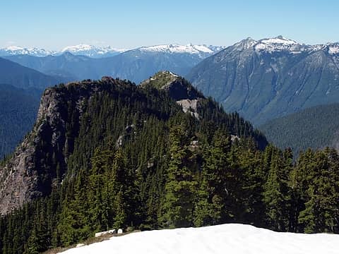 2 labels two more big bumps til the easy ridge 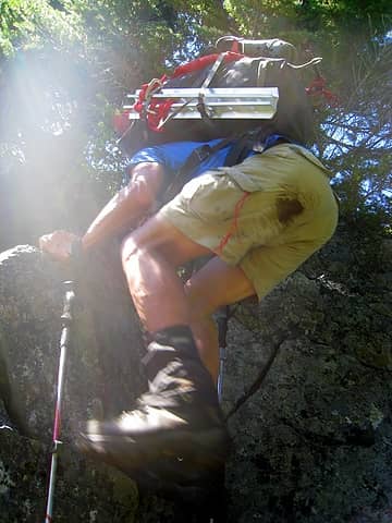 heading up 5785 (should have traversed through trees) 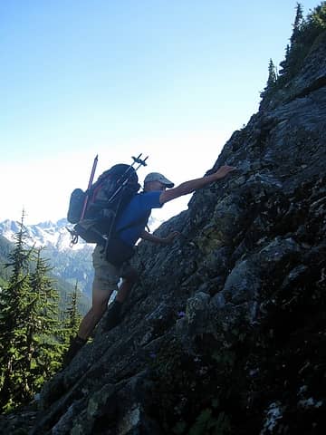 not sure what class moves these were, but by this time, we could've gone without them 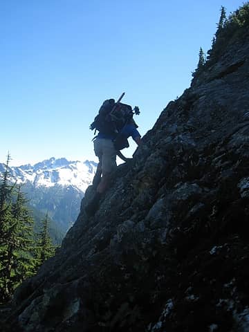 crumbly 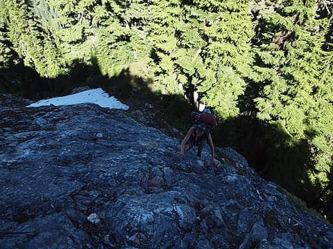 hotpantz' turn up the exposed route 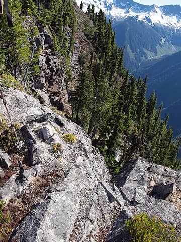 traversing around the bumps didn't seem appealing for the most part 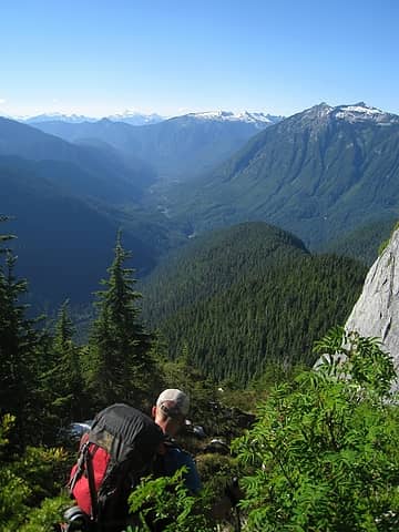 skirting beneath 5775 to get ridge below (should have gone right) 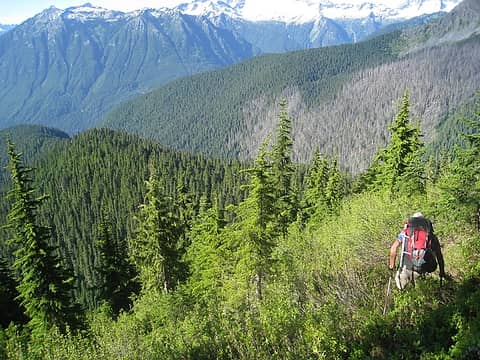 steep, grabby traverse before the forest 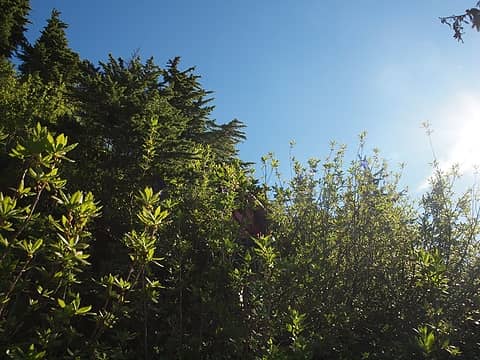 a little more bushwacking for good measure 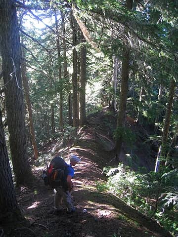 RIDGE! 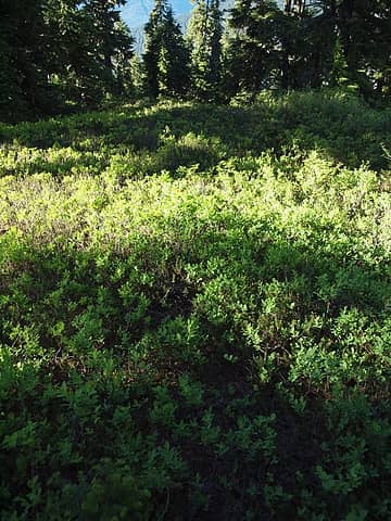 and on a trail! 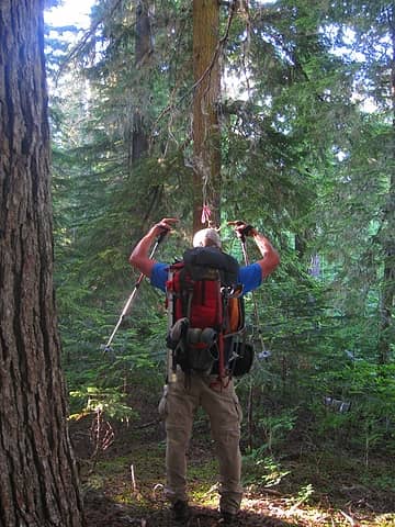 found a flag too! 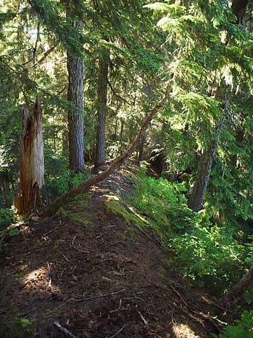 cool ridge with defined edge and steepish dropoffs 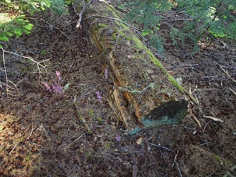 signs of former trail maintenance 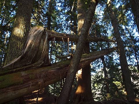 a tilted arm 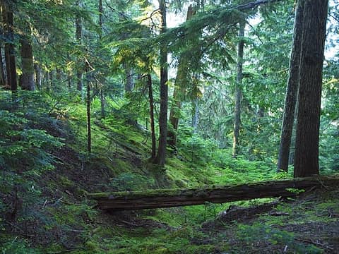 a nice green way to exit 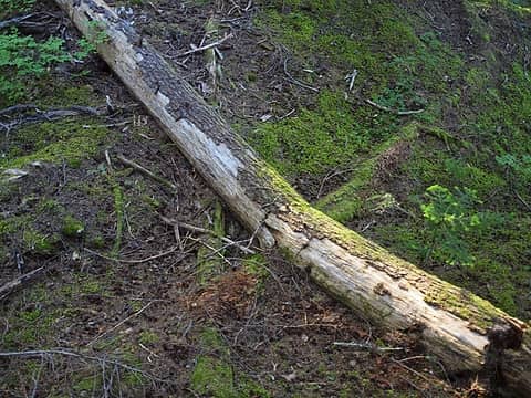 logs being absorbed into the soil 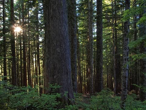 sun is still shining 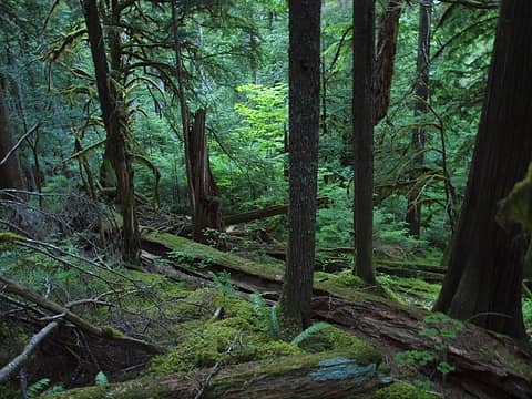 lots of downfall on the ridge 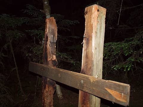 old trailhead sign on the overgrown road ~1500' 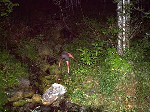 hotpantz retrieving the guinness 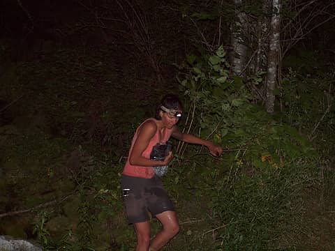 clutching it tightly 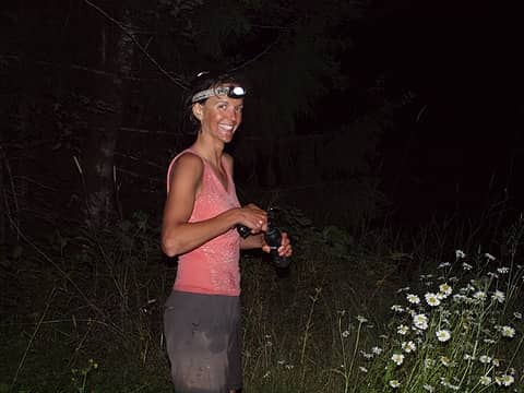 congrats! 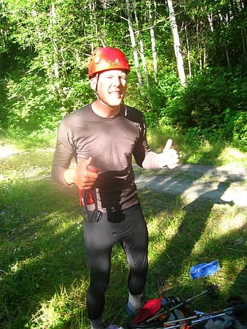 awesome biking clothes (i'd lose the longjohns and switch to shorts) 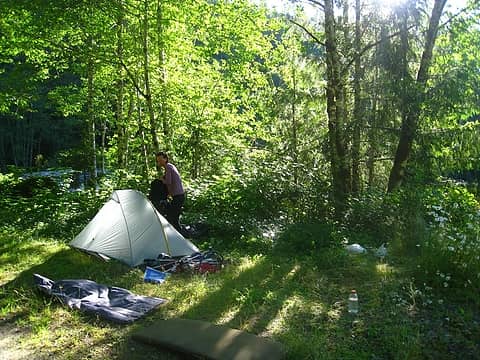 camping near the road just east of bridge on cascade river 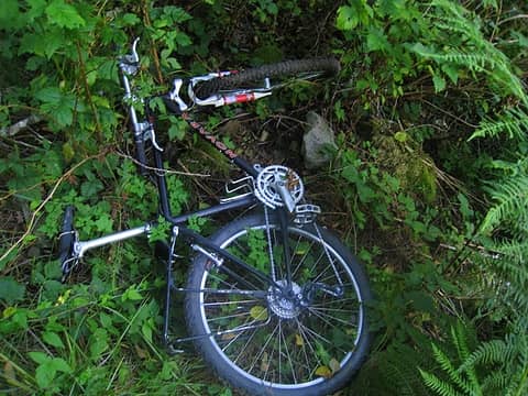 bike is still stashed 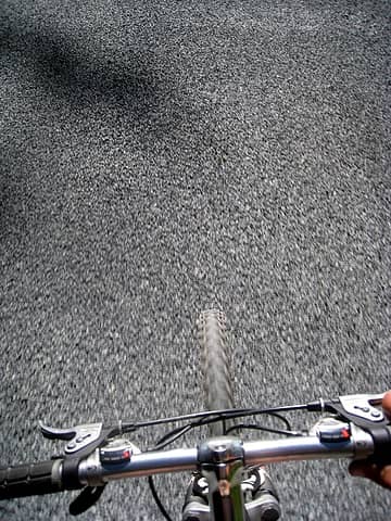 on the road with good chipseal 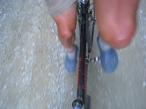 biking in crocs 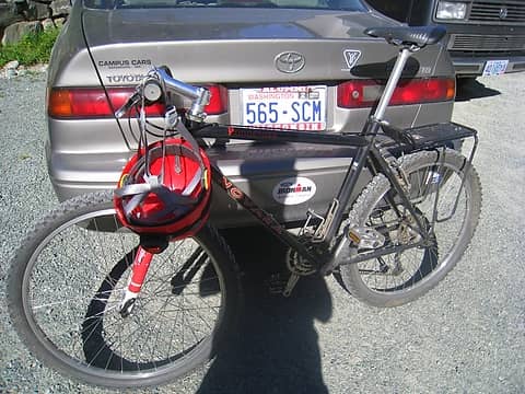 made it! 
|
| Back to top |
|
|
gyngve
Member

Joined: 26 Nov 2003
Posts: 1161 | TRs | Pics
|
|
gyngve
Member
|
Tue Jul 27, 2010 2:09 pm |
|
|
I like the creativity of adding on Bench + Sonny Boy!
|
| Back to top |
|
|
silence
Member

Joined: 25 Apr 2005
Posts: 4420 | TRs | Pics
|
|
silence
Member
|
Tue Jul 27, 2010 2:23 pm |
|
|
i don't have time to read right now .. but i will cuz i always enjoy you trs and pix .. i was wondering when you guys would get around to the pt
PHOTOS
FILMS
Keep a good head and always carry a light bulb. Bob Dylan
PHOTOS
FILMS
Keep a good head and always carry a light bulb. Bob Dylan
|
| Back to top |
|
|
Jason Hummel
Member
Joined: 31 Aug 2006
Posts: 1209 | TRs | Pics
Location: Tacoma Washington |
Awesome, awesome....so far. I look forward to reading about the 2nd half.
|
| Back to top |
|
|
silence
Member
Joined: 25 Apr 2005
Posts: 4420 | TRs | Pics
|
|
silence
Member
|
Tue Jul 27, 2010 2:41 pm |
|
|
me too 
PHOTOS
FILMS
Keep a good head and always carry a light bulb. Bob Dylan
PHOTOS
FILMS
Keep a good head and always carry a light bulb. Bob Dylan
|
| Back to top |
|
|
Man-inna-hillz
Member
Joined: 25 Aug 2005
Posts: 286 | TRs | Pics
Location: Berkeley, CA |
Man, there's just so much snow in the Cascades right now. This looks like a March or April Ptarmigan report.
I'm doing this trip next year if all goes according to plan. Looking forward to the second half of your excellent report.
The God of language forgives all crimes.
-W.H. Auden
The God of language forgives all crimes.
-W.H. Auden
|
| Back to top |
|
|
Quark
Niece of Alvy Moore

Joined: 15 May 2003
Posts: 14152 | TRs | Pics
|
|
Quark
Niece of Alvy Moore
|
Tue Jul 27, 2010 3:14 pm |
|
|
Excellent trip, iron.
I realize this may not be the best timing and all, but I'd rather you hear it from your friends, and not from some dirty kid on the street -
They changed the schedule re: closing the Suiattle Rd, and it's open to m.p. 12 til September. 
"...Other than that, the post was more or less accurate."
Bernardo, NW Hikers' Bureau Chief of Reporting
"...Other than that, the post was more or less accurate."
Bernardo, NW Hikers' Bureau Chief of Reporting
|
| Back to top |
|
|
Allison
Feckless Swooner

Joined: 17 Dec 2001
Posts: 12287 | TRs | Pics
Location: putting on my Nikes before the comet comes |
|
Allison
Feckless Swooner
|
Tue Jul 27, 2010 4:00 pm |
|
|
Super sweet trip. The PT is so gorgeous. I hope you don't mind that I captured several lake pics for my screen saver set. 
www.allisonoutside.com
follow me on Twitter! @AllisonLWoods
www.allisonoutside.com
follow me on Twitter! @AllisonLWoods
|
| Back to top |
|
|
The Angry Hiker
SAR Blacklistee

Joined: 13 Jun 2008
Posts: 2890 | TRs | Pics
Location: Kentwila |
Quite an adventure!  But I don't think you showed enough remorse for spooking the bear.
|
| Back to top |
|
|
raising3hikers
Member
Joined: 21 Sep 2007
Posts: 2344 | TRs | Pics
Location: Edmonds, Wa |
I couldn't wait for your TR!
Epic adventure you two will remember forever! I like how you made up your own way back to the TH with a different route. Beautiful pics I really want to visit some of those big glaciers sometime. Glad everything worked out fine
|
| Back to top |
|
|
Matt
Tea, Earl Grey, Hot

Joined: 30 Jan 2007
Posts: 4307 | TRs | Pics
Location: Shoreline |
|
Matt
Tea, Earl Grey, Hot
|
Tue Jul 27, 2010 4:47 pm |
|
|
Awesome job of route-finding and cross-country travel. I'm looking forward to reading more thoroughly to enjoy the scope of the story.
As beacons mountains burned at evening. J.R.R. Tolkien
As beacons mountains burned at evening. J.R.R. Tolkien
|
| Back to top |
|
|
BarbE
Member

Joined: 28 Jul 2006
Posts: 1153 | TRs | Pics
|
|
BarbE
Member
|
Tue Jul 27, 2010 5:05 pm |
|
|
| iron wrote: | | summary
humbling. very humbling |
humbling to you -and awe inspiring to most of us. 
|
| Back to top |
|
|
belowfellow
Transplant

Joined: 22 Feb 2009
Posts: 261 | TRs | Pics
Location: Seattle |
epic trip and excellent photos.
|
| Back to top |
|
|
|
|
You cannot post new topics in this forum
You cannot reply to topics in this forum
You cannot edit your posts in this forum
You cannot delete your posts in this forum
You cannot vote in polls in this forum
|
Disclosure: As an Amazon Associate NWHikers.net earns from qualifying purchases when you use our link(s). |


