| Previous :: Next Topic |
| Author |
Message |
yew
non-technical


Joined: 12 Dec 2005
Posts: 1173 | TRs | Pics
Location: Bellingham |
|
yew
non-technical
|
 Sat May 28, 2011 12:38 pm |
|
|
Not enough time to write up a comprehensive trip report but here's a 4+ minute movie of vistas, birdsong, wind and forests from a recent trip to Virginia and West Virginia.
After 3 days near Gaudineer Knob and Allegheny Trail on Shavers Mountain, West Virginia, I hiked from Spruce Knob down to High Meadows Trail. The High Meadows Trail has old pastures with very nice views of Allegheny Mountain and other hills.
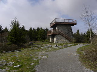 Spruce Knob observation tower 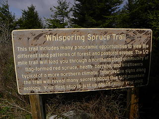 Spruce Knob trailhead sign 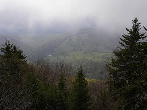 looking down to farm and houses on Laurel Run from road to Spruce Knob 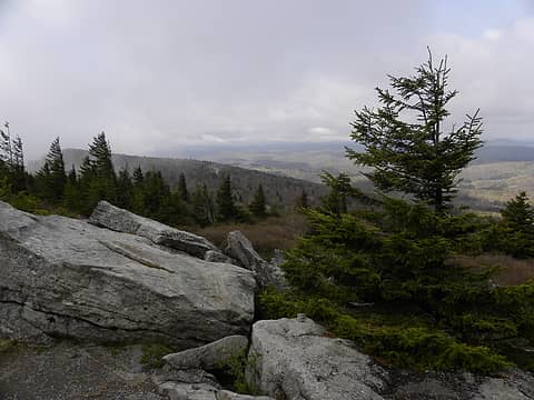 Spruce Knob 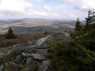 looking northwest from Spruce Knob Trail 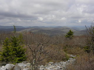 Spruce Knob trail 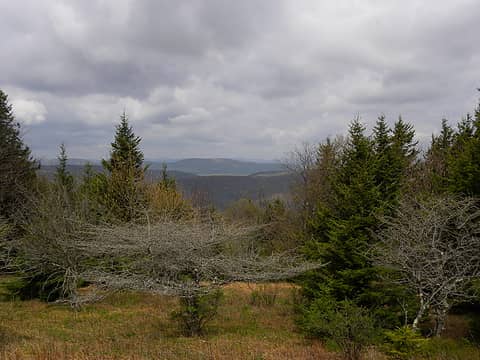 meadows and red spruce on Huckleberry Trail 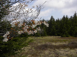 cherry blossoms on Huckleberry Trail near Spruce Knob 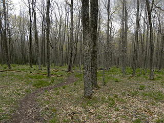 northern hardwood forest on Lumberjack Trail 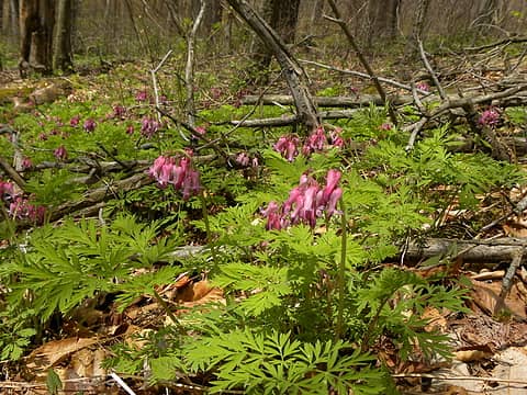 bleeding hearts on the soggy, north end of the Lumberjack Trail 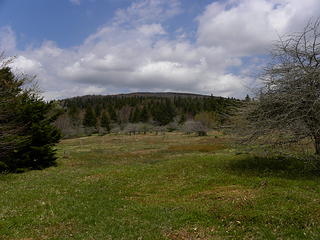 old pasture and orchard trees at north end of Lumberjack Trail where it meets High Meadows Trail 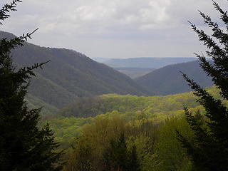 looking north into Seneca Creek valley from the upper High Meadows Trail 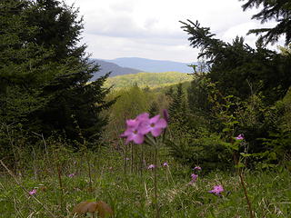 looking north into Seneca Creek valley from the upper High Meadows Trail 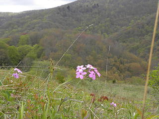 High Meadows Trail above Judy Springs 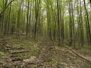 forest on trail # 533 south of Judy Springs 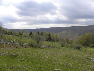 High Meadows trail in the Spruce Knob Nat'l Recreation Area 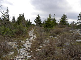 high country on Huckleberry Trail north of Spruce Knob 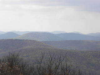 looking southwest into Monongahela National Forest from near Spruce Knob 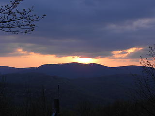 sunset over Shavers Mountain from FR 14 south of Wymer from clearcut 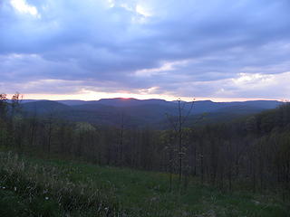 sunset over Shavers Mountain from FR 14 south of Wymer from clearcut 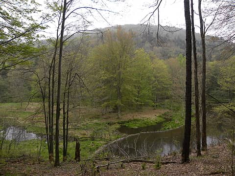 Laurel Fork South 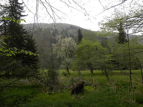 Laurel Fork South 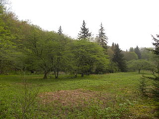 Laurel Fork South 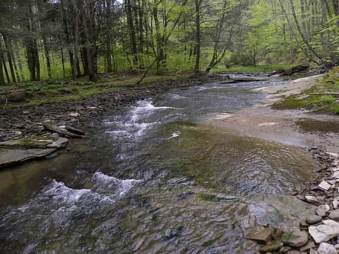 Laurel Fork South 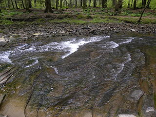 Laurel Fork South 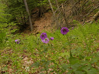 wildflowers on Laurel Fork South Wilderness Area 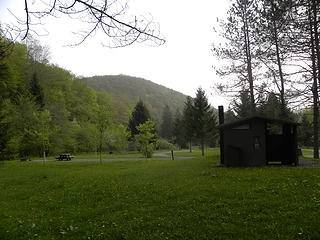 Laurel Fork Campground in Monongahela National Forest, West Virginia 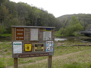 Allegheny Trail trailhead on US 33 east of Alpena, WV 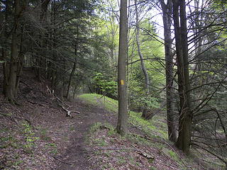 Allegheny Trail just south of US 33 west of Wymer, WV 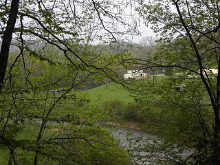 Allegheny Trail just south of US 33 west of Wymer, WV 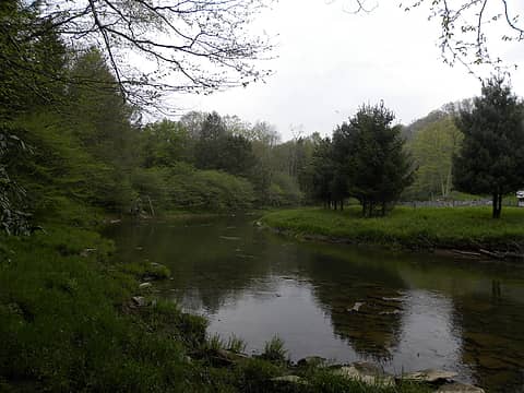 Allegheny Trail just south of US 33 west of Wymer, WV 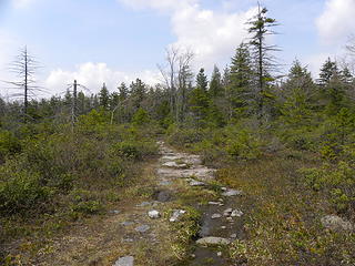 Allegheny Trail #701 south of the Canaan Loop Road 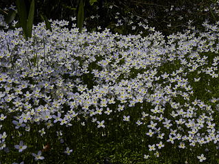 wildflowers on the Allegheny Trail just north of the Canaan Loop Road 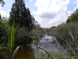 swamp that drains into George Washington's Birthplace Monument beach 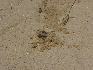 frog hiding in sand at George Washington's Birthplace Monument beach 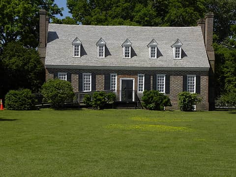 George Washington's Birthplace National Monument house built in 1920s not an exact rebuild 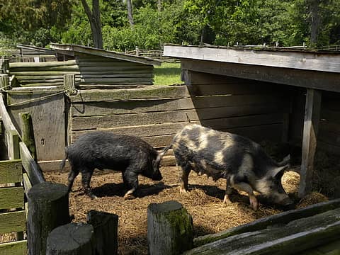 pigs at George Washington's Birthplace National Monument 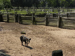 pig at George Washington's Birthplace National Monument 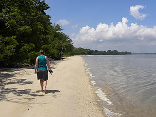 beach on Potomac River at George Washington's Birthplace National Monument 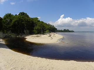 George Washington's Birthplace Monument beach where swamp drains into Potomac River 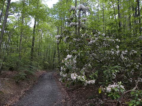 mountain laurel on the coastal plain Northern Neck of Virginia in Westmoreland State Park's Turkey Neck Trail 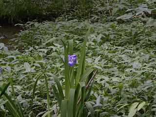 Yellow Swamp in Westmoreland State Park 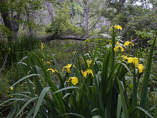 yellow irises in Yellow Swamp 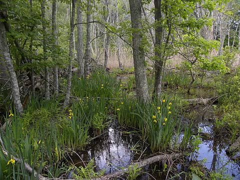 Yellow Swamp with yellow irises 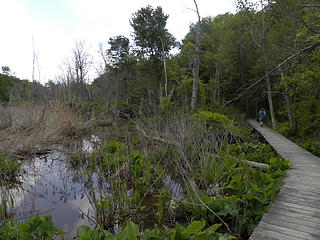 near observation tower in Yellow Swamp Westmoreland State Park Virginia 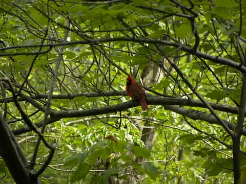 cardinal off turkey neck trail in westmoreland state park virginia 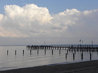 Colonial Beach, Virginia before the thunderstorm hits. 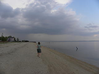 walking the beach at Colonial Beach, Virginia before a thunderstorm 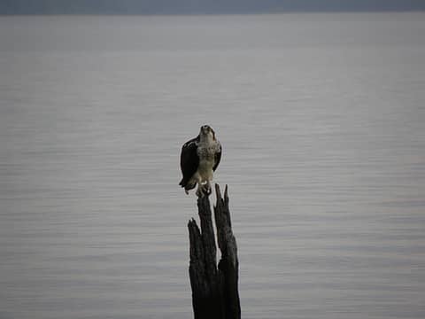 osprey in Colonial Beach 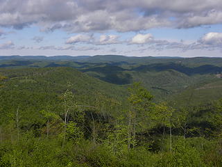 West Virginia mountains from Lead Mine Road north of Thomas 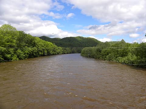 Cheat River north of Parsons, West Virginia after days of heavy rains 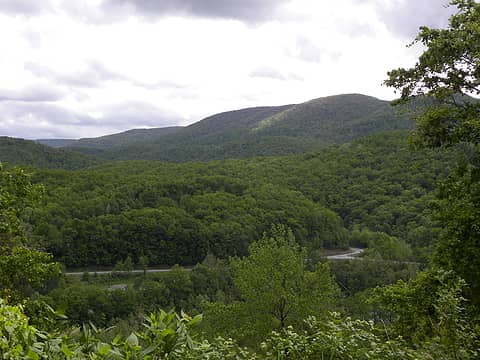 view of hill north of Otter Creek from mainstem road into Fernow Experimental Forest 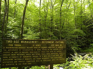 Fernow Experimental Forest 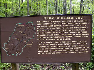 Fernow Experimental Forest 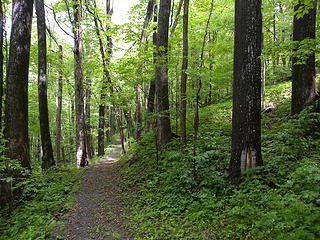 beginning of Zero Grade Trail in Fernow Experimental Forest 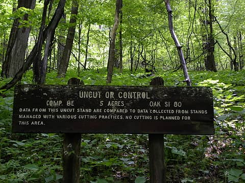 Fernow Experimental Forest 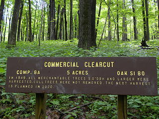 Fernow Experimental Forest 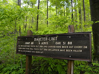 Fernow Experimental Forest 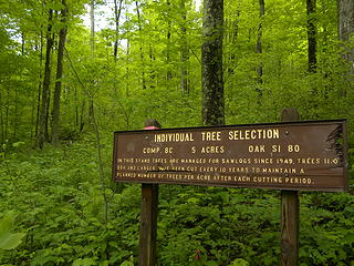 Fernow Experimental Forest 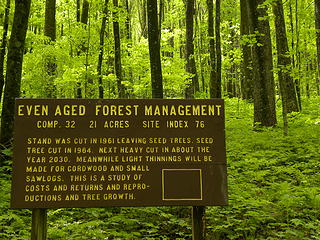 Fernow Experimental Forest 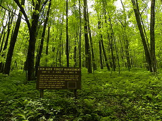 Fernow Experimental Forest 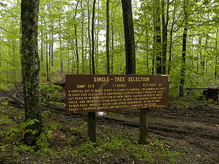 single tree selection logging in Fernow Experimental Forest 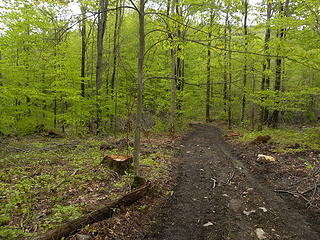 individual tree selection in Fernow Experimental Forest 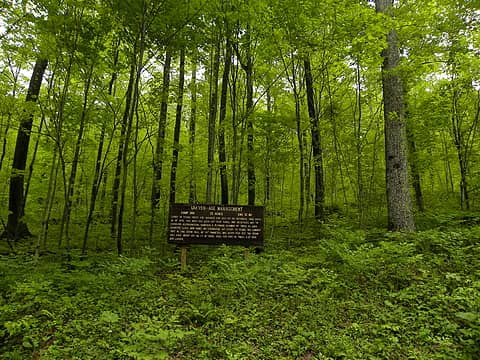 Fernow Experimental Forest 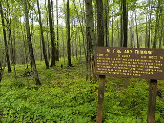 prescribed burn in Fernow Experimental Forest 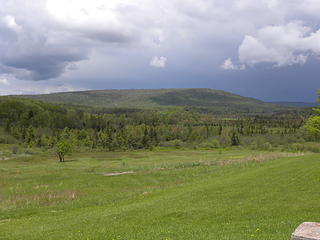 bog view in Canaan Valley State Park 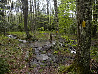 soggy, flooded Allegheny Trail in Canaan Valley State Park 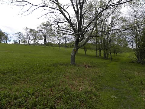 pastures on Allegheny Trail on south end of Canaan Valley State park 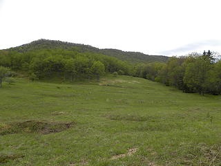 pastures on Allegheny Trail on south end of Canaan Valley State park 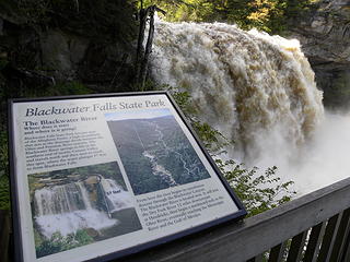 Blackwater Falls after days of heavy rains 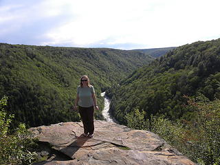 Blackwater Canyon 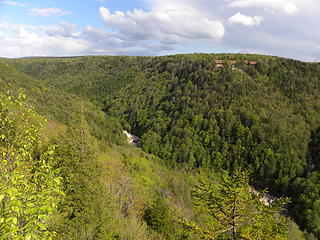 lodge in Blackwater Canyon 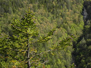 balsam fir in Blackwater Canyon 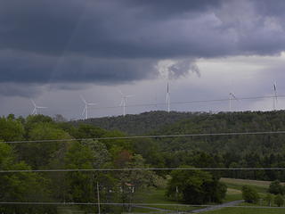 windmills (renewable but not "green" power) on Backbone Mountain in western Maryland 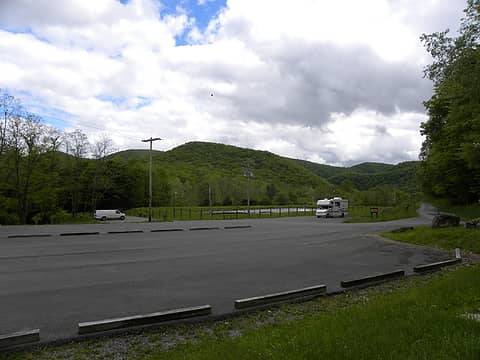 trailhead in Cass near Allegheny Trail / Greenbrier River Trail 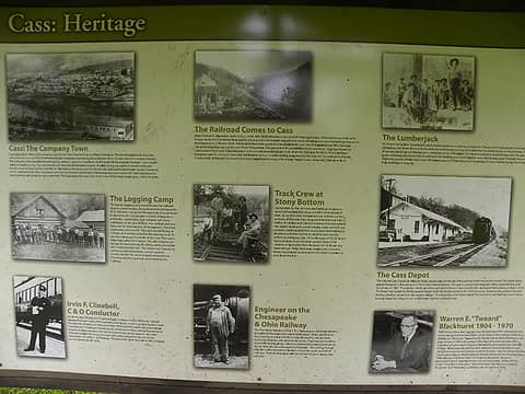 Allegheny Trail / Greenbrier River Trail near Cass, West Virginia 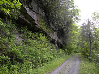 Allegheny Trail / Greenbrier River Trail 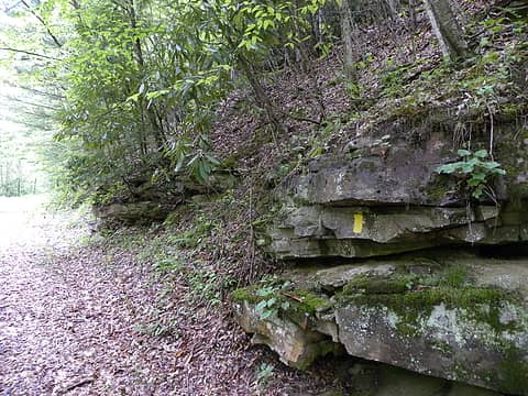 Allegheny Trail / Greenbrier River Trail 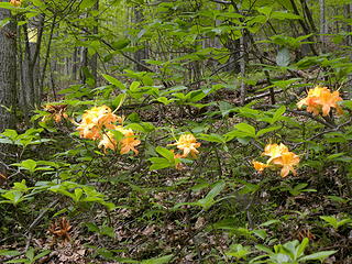 azaleas on Allegheny Trail / Greenbrier River Trail 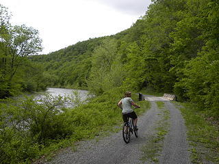 Allegheny Trail / Greenbrier River Trail 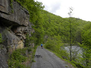 Allegheny Trail / Greenbrier River Trail 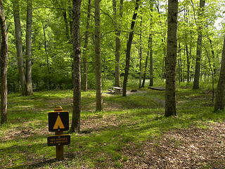 campsite on Allegheny Trail and Greenbrier River rail-trail 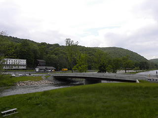 Cass, West Virginia and Greenbrier River 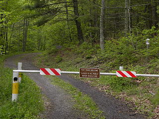 gated FR 396 south of Confederate Breastworks before the rain 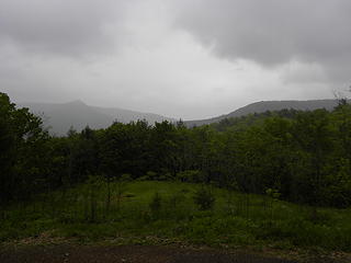 wildlife meadow on FR 396 on Shenandoah Mountain in rain 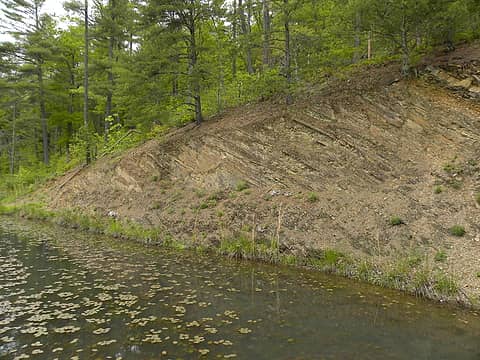 rock layers on Braley Pond 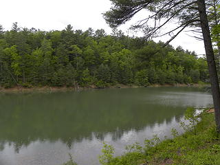 Braley Pond 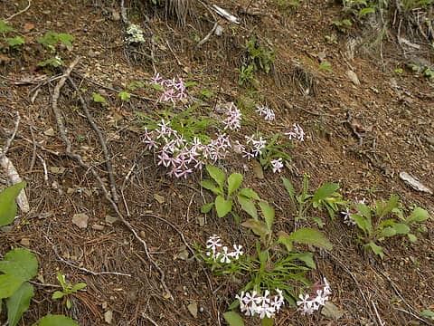 wildflowers on Braley Pond 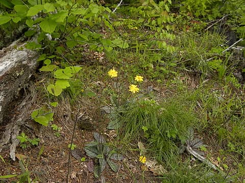 wildflowers on Braley Pond 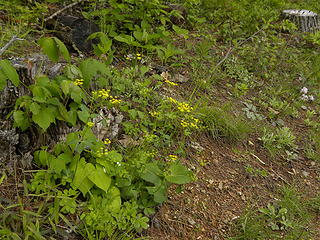 wildflowers on Braley Pond 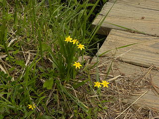 wildflowers on Braley Pond 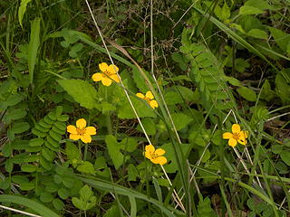 wildflowers on Braley Pond 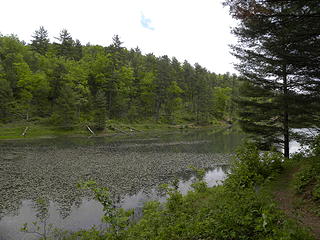 Braley Pond near West Augusta 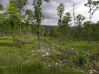 recent shelterwood cut south of Wolf Gap on FR 94 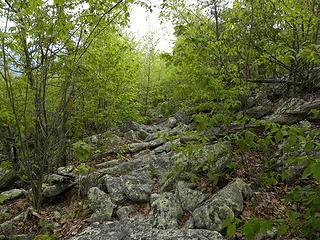 rocky trail to south of Tibbett Knob. Now that's a trail! 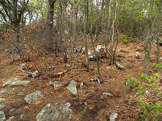 runaway campfire was suppressed with a small fireline near top of Tibbett Knob 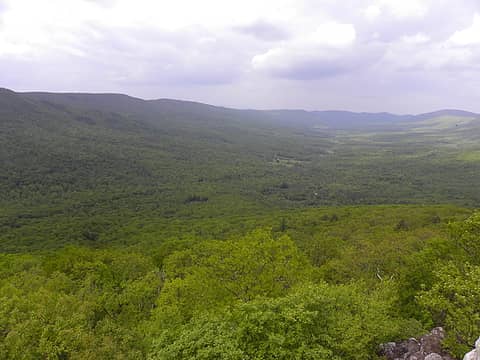 Trout Run valley from Tibbett Knob 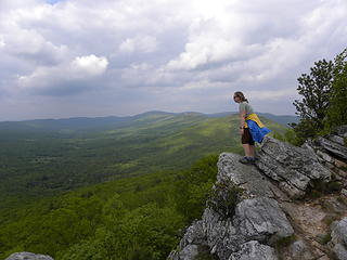 ridge north of Big Schloss from Tibbett Knob 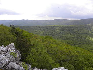 looking southwest from Tibbett Knob 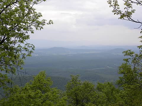 looking southeast from gap in canopy on Tibbett Knob 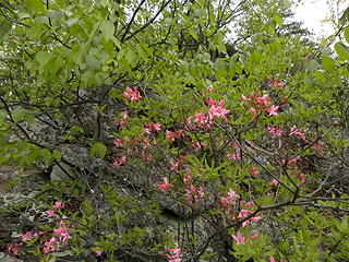 pink azaleas on Tibbett Knob 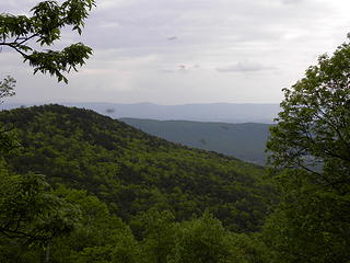 many flies and gnats on south end of Tibbett Knob Trail 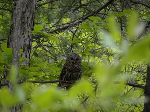 barred owl (?) near Trout Pond 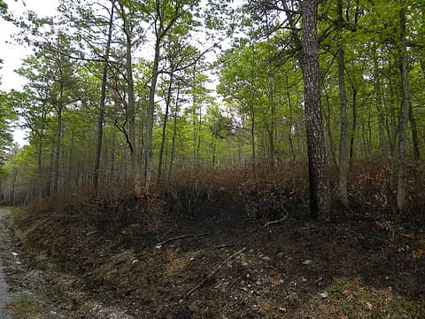 prescribed burn on FR 344 on Buck Mountain 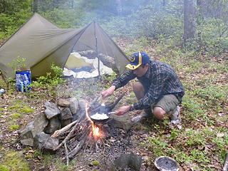 We didn't have much of our normal equipment for car camping, just a notch up from backpacking gear because we only had luggage we could check on the airplane and were in a compact rental car. 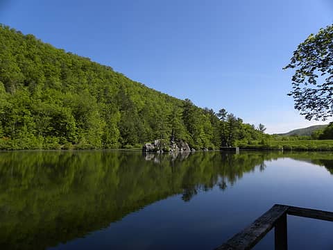 Rockcliff Lake 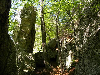 rock outcrop north of Rockcliff Lake 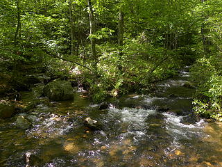 creek that drains Rockcliff Lake 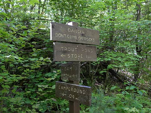 sign on trail north of Rockcliff Lake 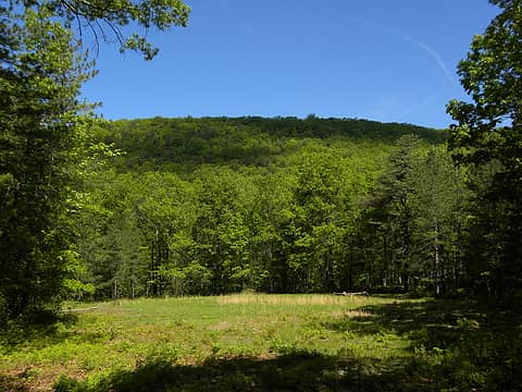 wildlife opening on Crack Whip Furnace Trail 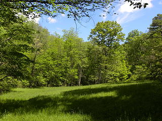 wildlife opening on Crack Whip Furnace trail 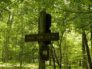 sign on Crack Whip Furnace Trail 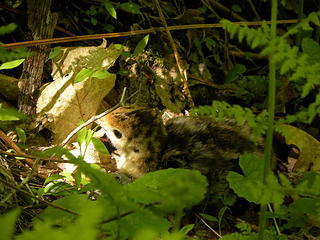 wild turkey chick 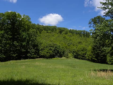 old clearcut and grassy wildflower opening on Crack Whip Furnace Trail 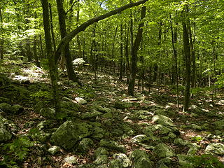 rocky part of Crack Whip Furnace Trail
"I aint jokin woman, I got to ramble...We gonna go walkin through the park every day." - Led Zeppelin
"I aint jokin woman, I got to ramble...We gonna go walkin through the park every day." - Led Zeppelin
|
| Back to top |
  
|
|
Scrooge
Famous Grouse

Joined: 16 Dec 2001
Posts: 6966 | TRs | Pics
Location: wishful thinking |
|
Scrooge
Famous Grouse
|
Sat May 28, 2011 7:57 pm |
|
|
Spruce Knob observation tower looking northwest from Spruce Knob Trail 
Something lost behind the ranges. Lost and waiting for you....... Go and find it. Go!
Something lost behind the ranges. Lost and waiting for you....... Go and find it. Go!
|
| Back to top |
|
|
GaliWalker
Have camera will use

Joined: 10 Dec 2007
Posts: 4929 | TRs | Pics
Location: Pittsburgh |
|
GaliWalker
Have camera will use
|
Sun May 29, 2011 2:05 pm |
|
|
A number of familiar views...I feel less lonely.  Thanks for the report!
|
| Back to top |
|
|
yew
non-technical
Joined: 12 Dec 2005
Posts: 1173 | TRs | Pics
Location: Bellingham |
|
yew
non-technical
|
Sun May 29, 2011 7:27 pm |
|
|
| Scrooge wrote: | | Things have gotten pretty fancy up on Spruce Knob, in the fifty-odd years since I used to go camping in (what used to be) the meadows south of (what used to be) the fire lookout... |
That's cool!  There's a house and a really tall communications tower about 1 mile (?) south of Spruce Knob now. It looks like it's been there for atleast 20 years.
--------------------
GaliWalker,
I haven't checked your Flickr page in awhile but you must check out the two Laurel Fork Wilderness areas. The beaver ponds and wetland meadows are really nice. You can see the hills and the creek from these openings.
------------------------
BTW, Canaan and Laurel Fork were May 11-12, George Washington and Westmoreland May 16 and Tibbett Knob & Crack Whip Furnace May 21st. There's a house and a really tall communications tower about 1 mile (?) south of Spruce Knob now. It looks like it's been there for atleast 20 years.
--------------------
GaliWalker,
I haven't checked your Flickr page in awhile but you must check out the two Laurel Fork Wilderness areas. The beaver ponds and wetland meadows are really nice. You can see the hills and the creek from these openings.
------------------------
BTW, Canaan and Laurel Fork were May 11-12, George Washington and Westmoreland May 16 and Tibbett Knob & Crack Whip Furnace May 21st.
"I aint jokin woman, I got to ramble...We gonna go walkin through the park every day." - Led Zeppelin
"I aint jokin woman, I got to ramble...We gonna go walkin through the park every day." - Led Zeppelin
|
| Back to top |
|
|
EastKing
Surfing and Hiking

Joined: 28 Mar 2007
Posts: 2082 | TRs | Pics
Location: 77 miles from Seattle! |
|
EastKing
Surfing and Hiking
|
Sun May 29, 2011 7:33 pm |
|
|
Been to Spruce Knob back in my college years. Pretty area. Glad you got to enjoy this area.
YouTube | SummitPost
Saw the depths of despair. Now I am salvaging what time I have left on Earth.
YouTube | SummitPost
Saw the depths of despair. Now I am salvaging what time I have left on Earth.
|
| Back to top |
|
|
|
|
You cannot post new topics in this forum
You cannot reply to topics in this forum
You cannot edit your posts in this forum
You cannot delete your posts in this forum
You cannot vote in polls in this forum
|
Disclosure: As an Amazon Associate NWHikers.net earns from qualifying purchases when you use our link(s). |


