| Previous :: Next Topic |
| Author |
Message |
Sadie's Driver
Sadie's Driver


Joined: 24 Apr 2006
Posts: 1763 | TRs | Pics
Location: Welcome Pass |
After a couple of weeks of sensational color, today was a pretty ho-hum day  Sadie and cousin Clover were looking for a little leg stretcher - and this was a good one. For those of us who usually head up the North Fork of the Teanaway to places like Bean, Navajo, Earl, Iron and Miller - the Middle Fork is a good alternative and a little closer. After you reach the Teanaway River Road, take the West Fork turn (about 7.5 miles) and then in less than a mile, turn on the Middle Fork road. The MF road is paved only for about 2.5 miles and just before the end of the pavement, we had to wait for a flock-crossing. Sadie and cousin Clover were looking for a little leg stretcher - and this was a good one. For those of us who usually head up the North Fork of the Teanaway to places like Bean, Navajo, Earl, Iron and Miller - the Middle Fork is a good alternative and a little closer. After you reach the Teanaway River Road, take the West Fork turn (about 7.5 miles) and then in less than a mile, turn on the Middle Fork road. The MF road is paved only for about 2.5 miles and just before the end of the pavement, we had to wait for a flock-crossing.
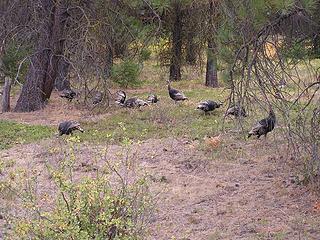 Flock of Wild Turkeys on Middle Fork Road 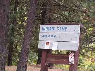 Campground popular with horseback riders 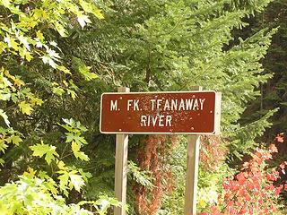 Crossing of the Middle Fork 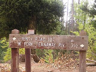 Sign at turn from River Trail 1393 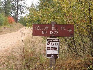 Marker on FS 113 designating trailhead for Yellow Hill 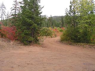 Trailhead for Yellow Hill #1222 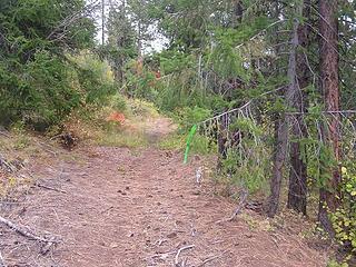 Green ribbon trail marker on trail start off of road 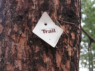 Trail marker posted on a few trees but only up to about 3600' 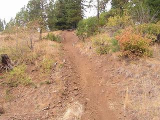 Dirt bike trail only - avoid going up this one 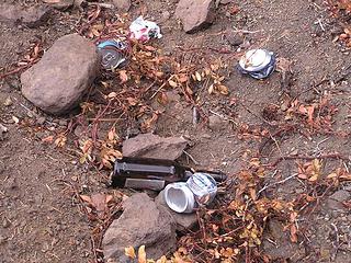 Ancient artifacts found at end of road 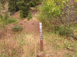 Trail marker just over berm pointing to the one-track trail 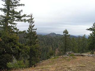 Low clouds look east from the first "bump" at 4200' 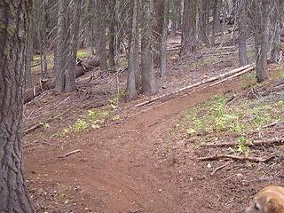 fork in trail - go left 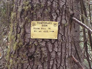 Trail sign at the fork in the trail 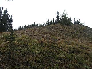 Looking up to summit of Yellow Hill from east side shoulder trail 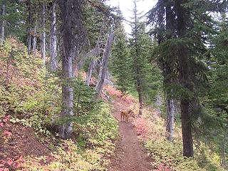 Clover on Yellow Hill #1222 Trail with some color amongs the huckleberries 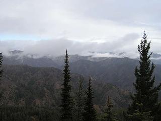 Looking north into the Teanaways 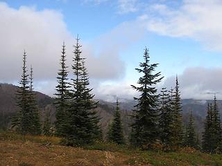 Some clearing to the North 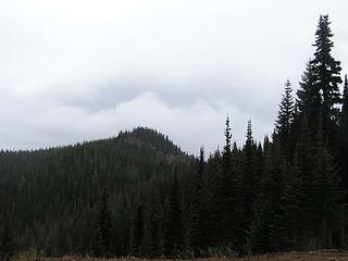 Looking back on Yellow Hill 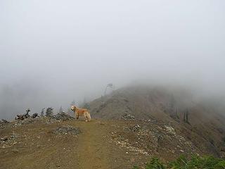 Trail on ridge to Elbow Peak 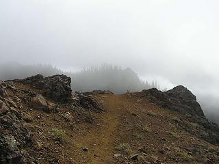 View of trail on the ridge 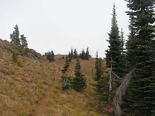 Trail on Elbow - not really a "grassy slope!" 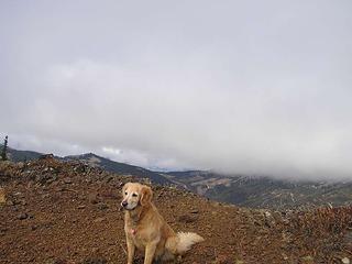 Sadie at the top of Elbow Peak look West across the rest of the Teanaways 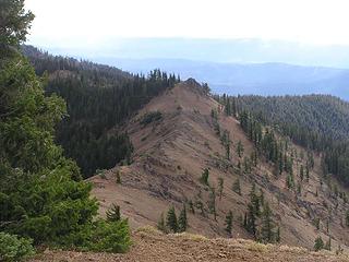 Ridge looking south from Elbow Peak 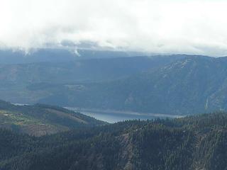 Lake Cle Elum from Elbow Peak 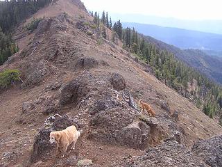 Ridge trail - mostly rock 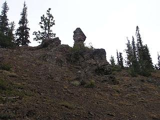 Rock formation along saddle between Elbow and Yellow 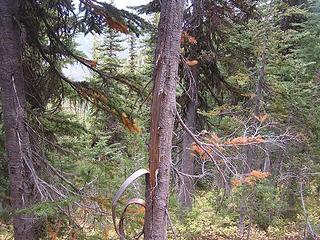 Tree stripped by some critter looking for good grubbin' 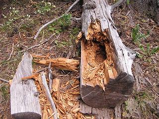 Another critter digging for goodies to eat 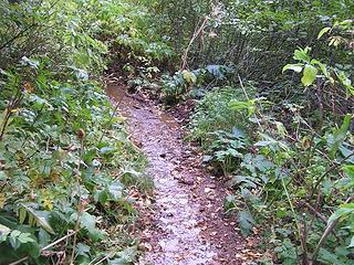 Only water source on this route - small spring with water running on the trail 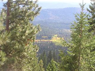 Limited color looking into the valley along Middle Fork of Teanaway 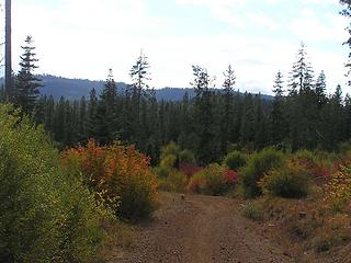 Color at the trailhead 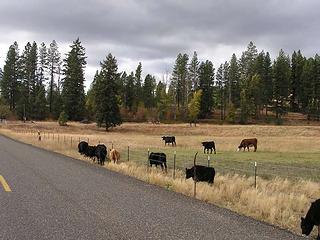 The grass IS greener on the other side of the fence! Cows loose on West Teanaway. 
Four-paw buddy lets me tag along!
Four-paw buddy lets me tag along!
|
| Back to top |
  
|
|
Opus
Wannabe

Joined: 04 Mar 2006
Posts: 3700 | TRs | Pics
Location: The big rock candy mountain |
|
Opus
Wannabe
|
 Sun Oct 08, 2006 8:26 pm |
|
|
Too funny about the turkeys! I went up the North Fork Teanaway to Ingalls Lake today, and on the drive I had to wait out a turkey flock along the road somewhere by the Teanway Mercantile store.
Looks like you guys got the nicer part of the Teanway weather. Up at Ingalls it was cold, grey, and very wet.
|
| Back to top |
|
|
Sadie's Driver
Sadie's Driver
Joined: 24 Apr 2006
Posts: 1763 | TRs | Pics
Location: Welcome Pass |
| Opus wrote: | | Too funny about the turkeys! I went up the North Fork Teanaway to Ingalls Lake today, and on the drive I had to wait out a turkey flock along the road somewhere by the Teanway Mercantile store.
Looks like you guys got the nicer part of the Teanway weather. Up at Ingalls it was cold, grey, and very wet. |
Well, I've known some turkeys in my time, but this is the first time they've made me stop the car!  Yeah, we got just a little "mist" about 10:30 a.m. - but it didn't even keep the dust down. No views, really. Yeah, we got just a little "mist" about 10:30 a.m. - but it didn't even keep the dust down. No views, really. 
Four-paw buddy lets me tag along!
Four-paw buddy lets me tag along!
|
| Back to top |
|
|
|
|
You cannot post new topics in this forum
You cannot reply to topics in this forum
You cannot edit your posts in this forum
You cannot delete your posts in this forum
You cannot vote in polls in this forum
|
Disclosure: As an Amazon Associate NWHikers.net earns from qualifying purchases when you use our link(s). |


