| Previous :: Next Topic |
| Author |
Message |
bertman
Member


Joined: 17 Jul 2006
Posts: 362 | TRs | Pics
|
|
bertman
Member
|
 Tue Jun 05, 2007 8:04 pm |
|
|
Better late than never!
Ingalls Creek Trail Report 2007-05-27
Sunday morning, I woke up at 5:30AM to a steady rainfall. Right then, I knew I had made the right decision to go over the mountains for a hike. I had hoped to be on the road around 6AM but wouldnt you know it? I was not prepared enough. I had laid out my clothes and most of my ten essentials but was still missing a few items. Assembling all of this took longer than I thought, plus a light breakfast, and it was 6:35AM before I was ready to leave in my trusty Subaru Legacy.
I had reasoned that this early in the morning, Highway 2 should not be crowded. So from home, I headed up I405 to 525 which hooked up with Hwy 2 in Monroe. The steady rain was annoying since I had yet again failed to Rain-X my windshield. Note to self, quit being lazy and just do it! So as I kept gaining elevation, it kept raining. It wasnt until I was almost at Stevens Pass that it finally stopped raining and the sun greeted me on the other side. I drove through Leavensworth, then turned south on Hwy 97. A few more miles and I turned on Ingalls Creek Road, drove a short distance to the trailhead, arriving at 8:45AM.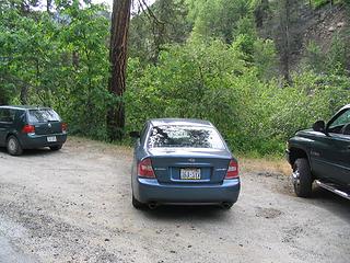 IngallsCreek 002 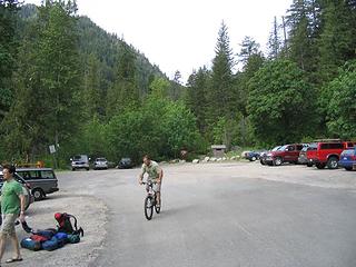 IngallsCreek 003 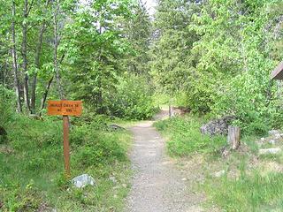 IngallsCreek 004 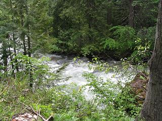 IngallsCreek 005 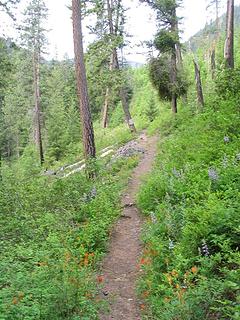 IngallsCreek 006 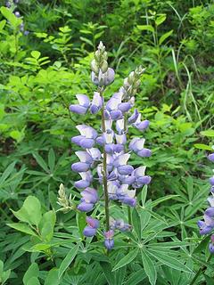 IngallsCreek 007 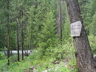 IngallsCreek 008 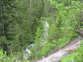 IngallsCreek 009 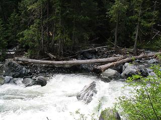 IngallsCreek 010 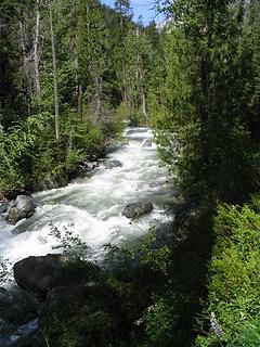 IngallsCreek 011 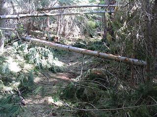 IngallsCreek 012 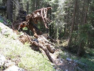 IngallsCreek 015 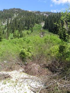 IngallsCreek 013 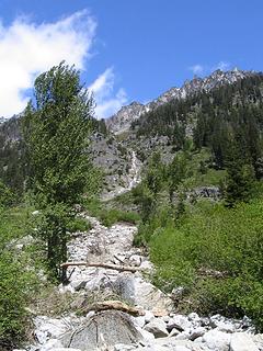 IngallsCreek 014 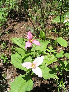 IngallsCreek 016 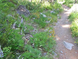 IngallsCreek 017  Bertman
|
| Back to top |
  
|
|
Schmidt Altitude
Whippet Entourage

Joined: 28 Mar 2007
Posts: 803 | TRs | Pics
Location: The Quah |
Were you looking for Ingalls Lake? It is located about 5.5 miles up the North Fork Teanaway trail (Esmeralda Basin), though you can get to it from Ingalls Creek after 15.5 miles. Looks like you had a good day anyways and some better weather, too! Map, next time, right?
"Forest 101: These big wood stick things are called trees. The big rocks are called mountains, and the little rocks are their babies." Elliott from Open Season
"Forest 101: These big wood stick things are called trees. The big rocks are called mountains, and the little rocks are their babies." Elliott from Open Season
|
| Back to top |
|
|
bertman
Member
Joined: 17 Jul 2006
Posts: 362 | TRs | Pics
|
|
bertman
Member
|
Wed Jun 06, 2007 2:07 pm |
|
|
No, it's a little lake (more like a pont) and it was apparently on the other side of the river. Yes, map next time. I just couldn't get the TOPO to print to my printer for some reason that morning.
I'll probably try to do Ingalls Lake this year in the fall when it turns gold.
Bertman
|
| Back to top |
|
|
|
|
You cannot post new topics in this forum
You cannot reply to topics in this forum
You cannot edit your posts in this forum
You cannot delete your posts in this forum
You cannot vote in polls in this forum
|
Disclosure: As an Amazon Associate NWHikers.net earns from qualifying purchases when you use our link(s). |


