| Previous :: Next Topic |
| Author |
Message |
Joe
Member

Joined: 29 Jun 2002
Posts: 819 | TRs | Pics
Location: Kent |
|
Joe
Member
|
 Tue Sep 16, 2008 7:28 pm |
|
|
I started todays hike from the trailhead at Soda Spring campground, 3200 feet. To reach the trailhead, from US 12, turn north of FS 45, located 1.3 miles east of the SR123 and US 12 junction. After 3/10th miles, turn left on FS 4510 and drive to the end of the road, about 5 miles from US 12. I was surprised to find the trailhead parking lot full at 9:15 AM. I parked at a wide spot about 1/4 mile from the trailhead. With high buck season starting on Monday, I assumed this was reason for the full parking lot, but it turned out there were a lot of bow hunters using this trailhead.
The Cowlitz trail gradually climbs 2.5 miles through old growth forest with many large trees, to a junction, 3900 feet, with the Jug Lake trail.
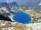
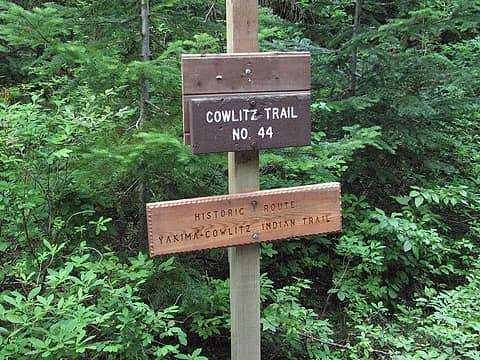 trail-sign 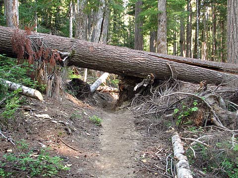 windfall 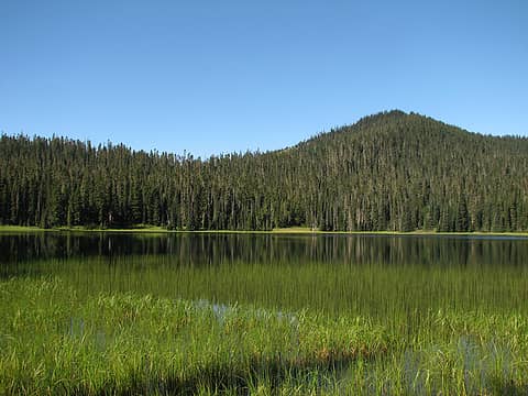 Jug-Lake1 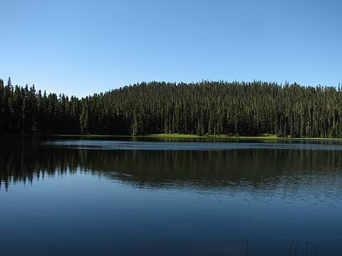 Jug-Lake2 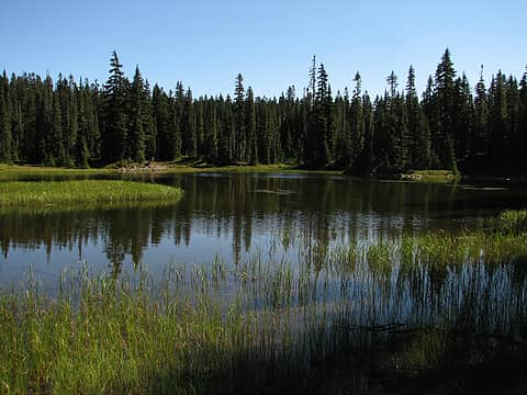 lake1 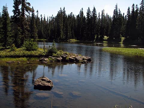 lake2 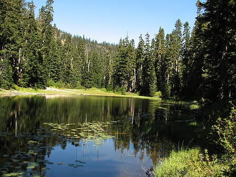 Little-snow-lake1 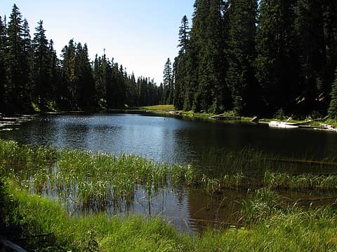 Little-snow-lake2 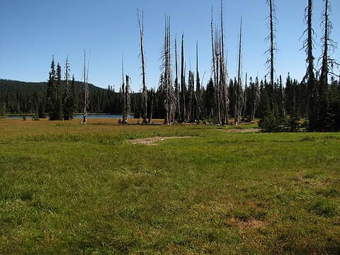 fryingpan-lake1 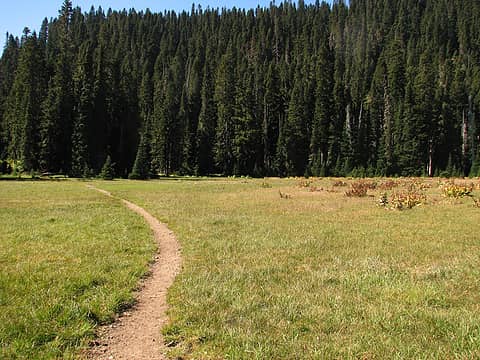 trail 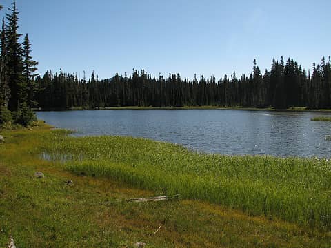 fryingpan-lake2 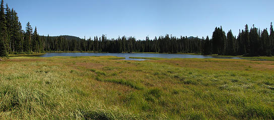 fryingpan-lake3 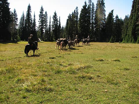 heading-out 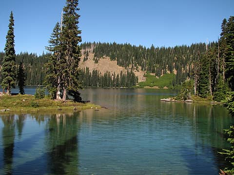 big-twin-sister-lake1 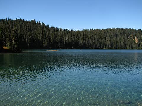 big-twin-sister-lake2 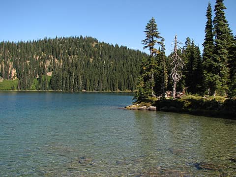 big-twin-sister-lake3 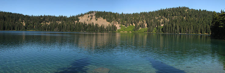 Big-Twin-Sister-pano 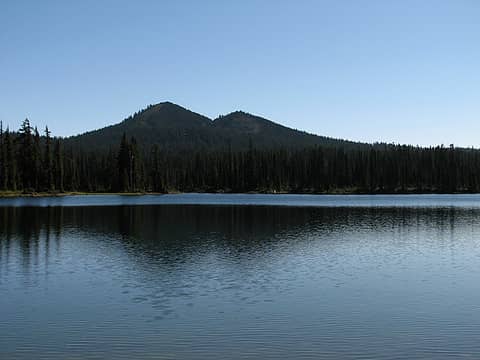 Little-Twin-Sister-and-Tumac-mtn 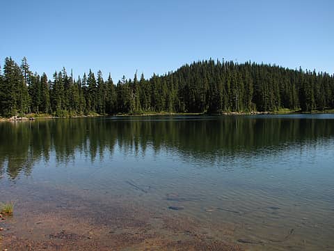 little-twin-sister-lake 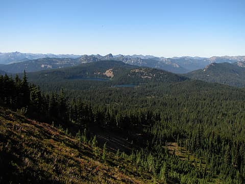 twin-sister-lakes 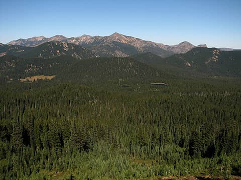 blankenship-lakes-and-nelson-ridge 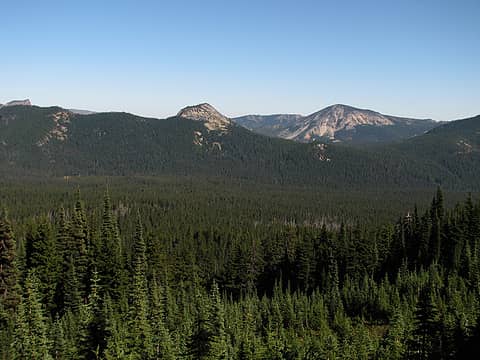 tumac-views 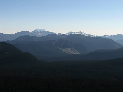 adams-over-goat-rocks 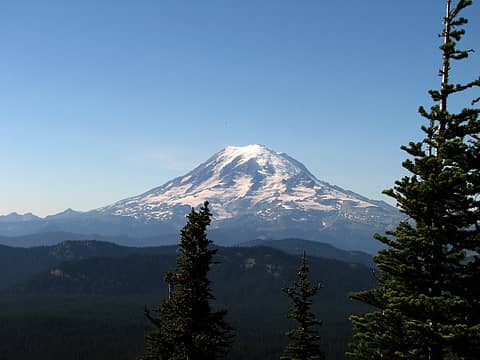 mount-rainier 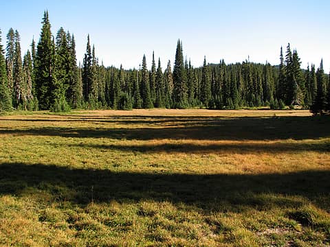 shadows 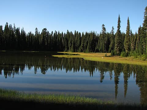 penoyer-lake 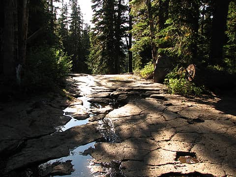 stream-bed 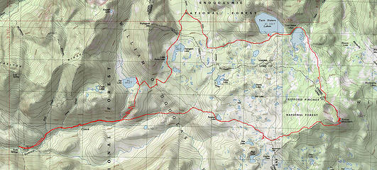 Jug-Lake-Twin-Sisters-Tumac-route
|
| Back to top |
  
|
|
Flora
Enjoying the Sun!

Joined: 25 Mar 2007
Posts: 1035 | TRs | Pics
Location: Land of many waters |
|
Flora
Enjoying the Sun!
|
Tue Sep 16, 2008 7:47 pm |
|
|
Nice report. Good alternative access to the area, too, since the road to Twin Sister Lakes TH is washed out. Thanks.
|
| Back to top |
|
|
|
|
You cannot post new topics in this forum
You cannot reply to topics in this forum
You cannot edit your posts in this forum
You cannot delete your posts in this forum
You cannot vote in polls in this forum
|
Disclosure: As an Amazon Associate NWHikers.net earns from qualifying purchases when you use our link(s). |


