| Previous :: Next Topic |
| Author |
Message |
Sadie's Driver
Sadie's Driver


Joined: 24 Apr 2006
Posts: 1763 | TRs | Pics
Location: Welcome Pass |
OML (Oh My Larch) -OMA (Oh My Aspen) -OML-OMA   read on! read on!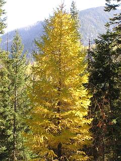 . . . ahh Larch  (bless their little errant hearts!)
Reality:
8:00 a.m. on Icicle Creek Road: (bless their little errant hearts!)
Reality:
8:00 a.m. on Icicle Creek Road: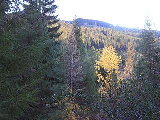 Larch lurking in the morning 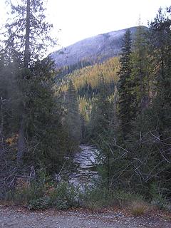 Early morning glimpse of Larch   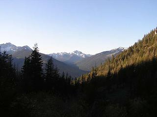 Note all of the clouds and rain! 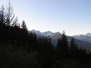 More clouds and rain! 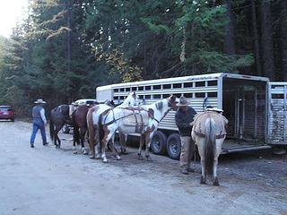 Two guys heading out for a week in the mountains 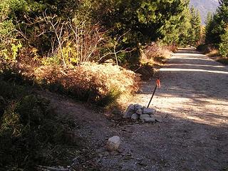 Trail junction on Icicle Road 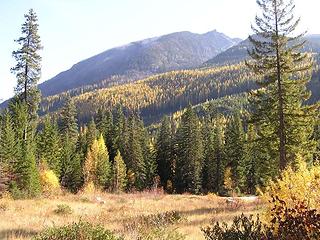 Hillside ablaze with Larch 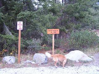 Chatter Creek trailhead 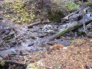 Gus visiting Chatter Creek 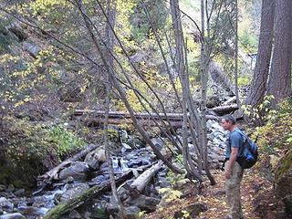 Approaching bridge crossing of Chatter Creek 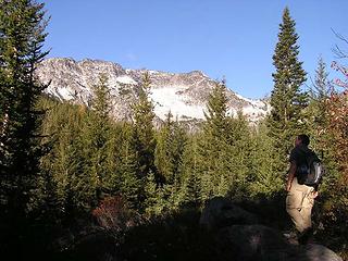 Barry eyeing our destination - Grindstone 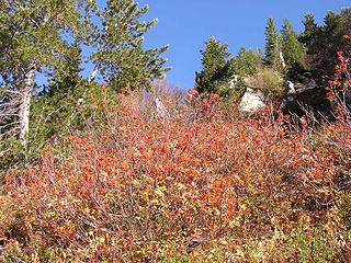 Red Berries - Blue Skies 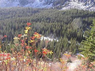 Heading to the Pass and looking down at Chatter Creek Basin with snow 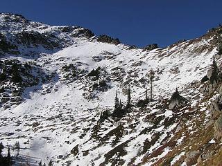 A slippery slope, indeed! North flank/ridge of Grindstone 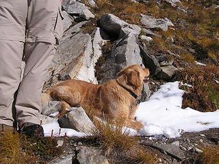 Gus lovin' the snow 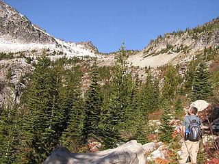 Barry viewing the Pass 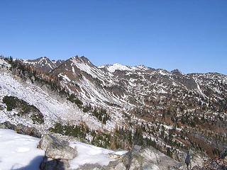 From Grindstone Pass looking out North/Northwest across the Chiwaukums 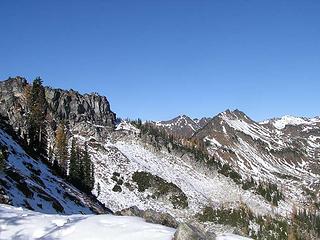 At the Pass looking west 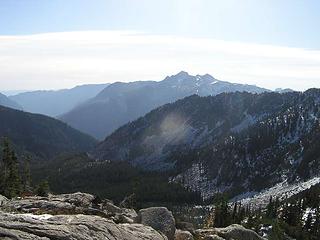 Looking south to the Enchantments 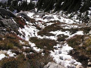 Snow/ice on the trail 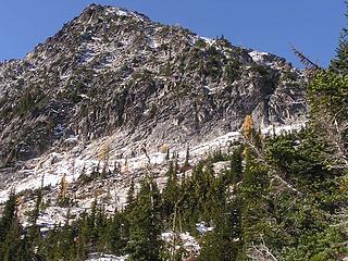 Grindstone and a few lonely Larch 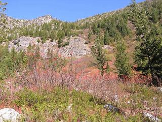 Looking up to Icicle Ridge 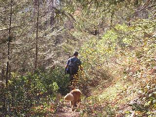 Grindstone attempt Oct. 25, 2008 . 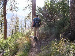 In shorts! 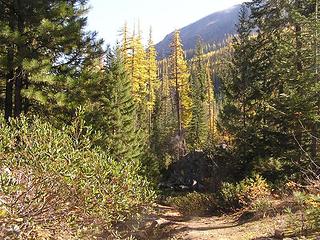 More Larch 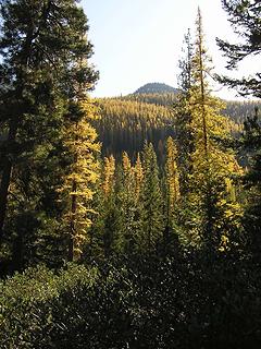 and more Larch 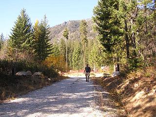 Walking from Chatter Creek trailhead back to Icicle Creek Road 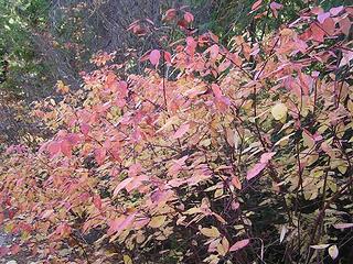 Fall foliage 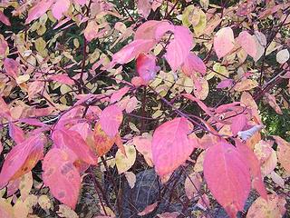 A little variety in Fall color 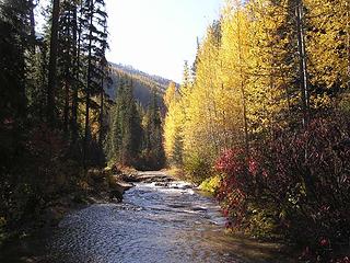 Gus and the quaking Aspen along Icicle Creek 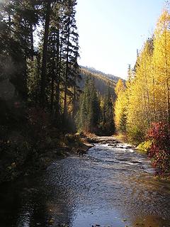 Gus wading in Icicle Creek  Won't last long!
Stats: About 13 - 14 miles roundtrip; 4100' of gain (missed Grindstone summit by about a mile and 1000' - and Lake Edna by about a mile, too)
The driver Won't last long!
Stats: About 13 - 14 miles roundtrip; 4100' of gain (missed Grindstone summit by about a mile and 1000' - and Lake Edna by about a mile, too)
The driver
Four-paw buddy lets me tag along!
Four-paw buddy lets me tag along!
|
| Back to top |
  
|
|
EastKing
Surfing and Hiking

Joined: 28 Mar 2007
Posts: 2082 | TRs | Pics
Location: 77 miles from Seattle! |
|
EastKing
Surfing and Hiking
|
 Sun Oct 26, 2008 12:27 am |
|
|
YouTube | SummitPost
Saw the depths of despair. Now I am salvaging what time I have left on Earth.
|
| Back to top |
|
|
TrailPair
Member

Joined: 17 Apr 2005
Posts: 1699 | TRs | Pics
|
We are headed to the Chiwawa area today....probably icy there, too! Yikes!
This thing called work is interfering with my play
This thing called work is interfering with my play
|
| Back to top |
|
|
Middle E
no more moustache

Joined: 10 Feb 2008
Posts: 432 | TRs | Pics
Location: Seattle, WA |
|
Middle E
no more moustache
|
Sun Oct 26, 2008 9:23 am |
|
|
The route to Grindstone traverses below the ridgeline in both photos below, and it wasn't obvious whether the snow would help or hinder. Without the wind we might have ventured further...
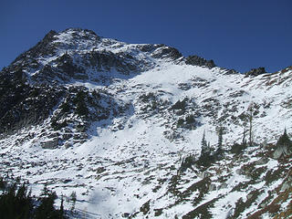 Route to Grindstone 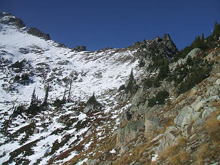 Route to Grindstone 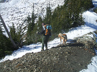 Suzanne and Gusto blowing off the pass 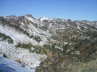 1 label Lake Edna is there somewhere 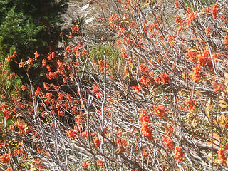 Mountain ash
pithy yet insightful signature
pithy yet insightful signature
|
| Back to top |
|
|
Sadie's Driver
Sadie's Driver
Joined: 24 Apr 2006
Posts: 1763 | TRs | Pics
Location: Welcome Pass |
|
Sadie's Driver
Sadie's Driver
|
Sun Oct 26, 2008 8:37 pm East vs West - - - colors
|
|
|
Four-paw buddy lets me tag along!
|
| Back to top |
|
|
|
|
You cannot post new topics in this forum
You cannot reply to topics in this forum
You cannot edit your posts in this forum
You cannot delete your posts in this forum
You cannot vote in polls in this forum
|
Disclosure: As an Amazon Associate NWHikers.net earns from qualifying purchases when you use our link(s). |


 s.d.
s.d.