Elvis
Shuffl'n

Joined: 09 Jun 2004
Posts: 1804 | TRs | Pics
Location: del Boca Vista |
|
Elvis
Shuffl'n
|
 Sun Apr 12, 2009 4:27 pm |
|
|
On my way home from spending the day putzing around Heather Meadows I decided to stop for a quick hike to Cedar Lake in the Chuckanut area. This would add some miles to my day as well as some good elevation gain.
The Trailhead to Pine and Cedar Lakes is located on the west side of I-5 between the Fairhaven Exit 250 and the North Lake Samish Exit 242 just south of Bellingham . The trail gains respectable elevation quickly its a good workout for those preparing for the upcoming Ski to Sea race. Its easy to follow with a number of signs to help keep you oriented.
Along the trail I saw a chipmunk and heard numerous owls. Despite my efforts, I couldnt find one visually but Im pretty sure one swooped near me, but I only heard it and didnt see it. I also saw this interesting moss/fungi growth on a tree and a stump that appeared to be winking at me
and smoking a cigar.
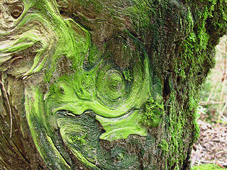 Green Spiral 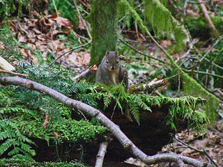 ICritter 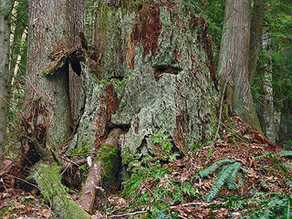 The winking & cigar smoking stump 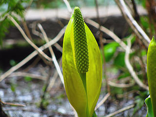 Spring approaches 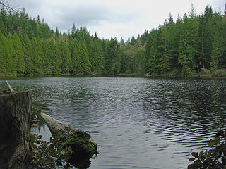 Cedar Lake 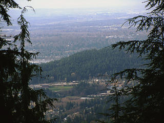 View to the North: Bham & Sehome Hill 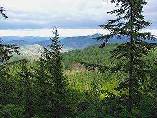 Eastern View 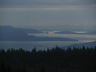 Western View to San Juans
"Ill habits gather unseen degrees, as brooks make rivers, rivers run to seas." ~John Dryden
My Trip List
"Ill habits gather unseen degrees, as brooks make rivers, rivers run to seas." ~John Dryden
My Trip List
|