Flora
Enjoying the Sun!


Joined: 25 Mar 2007
Posts: 1035 | TRs | Pics
Location: Land of many waters |
|
Flora
Enjoying the Sun!
|
 Fri Jul 03, 2009 7:13 am |
|
|
Took the Isuzu for a driving/hiking tour of this tiny wilderness in NE Orregon, located about 35 miles east of Pendleton. We drove up the long grade on Hwy 204 towards Tollgate; since I wasn't driving, I could note the roads to trailheads. After reaching Tollgate, the hwy descends slightly towards Spout Springs, a homegrown ski area that rivals the Cascade areas for snowfall. Beyond Spout, we turned west on Road 31, a nicely paved forest road that passes through an area used as winter recreation, on several old logging roads through rapidly growing clearcuts. A few more miles and there is a sign for the Umatilla Rim Trail, which gives access to the Nine Mile Ridge Trail and others in the area. We parked in the gravel lot near the spring-fed pool; there are no amenities here, BTW. And began a short exploratory hike along the rim trail through lush and dry meadows, with views extending across the Umatilla River
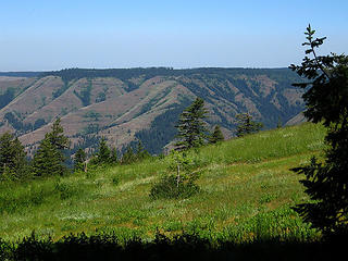 View from Nine Mile Ridge towards North 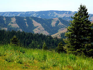 N. Fk Umatilla Wilderness 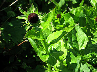 Rudbeckia growing on Nine Mile Ridge in the N. Fk Umatilla Wilderness. 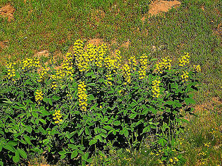 Golden Pea on Nine Mile Ridge 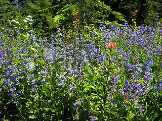 Penstemon on Nine Mile Ridge 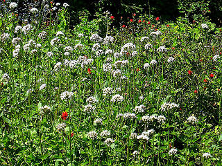 Field of Valerian  Blues Vista 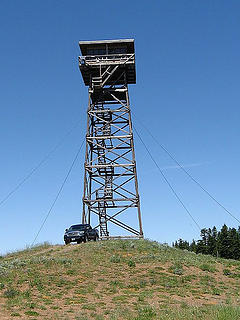 High Ridge Lookout off Rd 31
|


