| Previous :: Next Topic |
| Author |
Message |
Bloated Chipmunk
Cock Rock Searcher


Joined: 29 Jan 2007
Posts: 2993 | TRs | Pics
Location: Margaritaville |
Yes, another Mt. Maude TR.  After reading Sadie's Driver's recent report, we had some good beta for tackling this lofty peak that's been on our list all summer. So, the boyz & I took off Monday morning under blue skies & made our way up the Chiwawa River Rd., arriving @ the TH to find amazingly few cars. This time we got the 1st parking spot. After reading Sadie's Driver's recent report, we had some good beta for tackling this lofty peak that's been on our list all summer. So, the boyz & I took off Monday morning under blue skies & made our way up the Chiwawa River Rd., arriving @ the TH to find amazingly few cars. This time we got the 1st parking spot. 
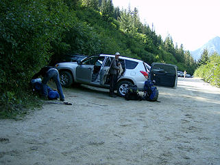 Rock star parking 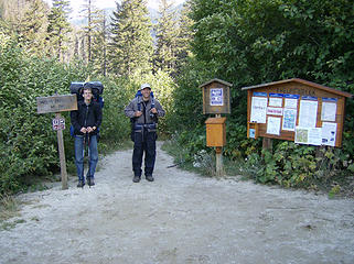 The boyz @ the TH 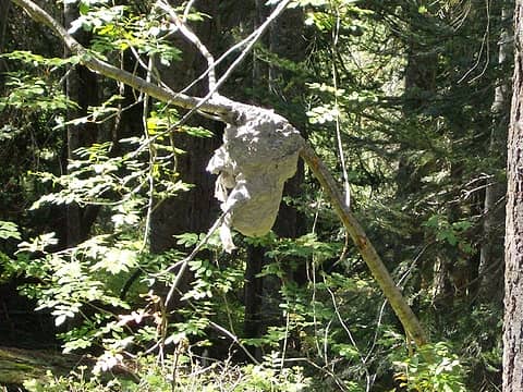 Nest 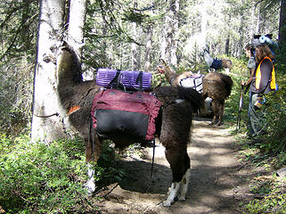 Llamas 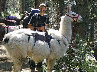 MM & a llama 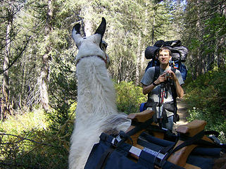 Checking each other out 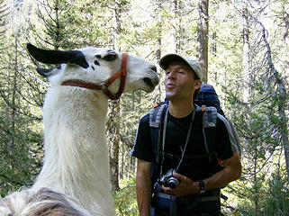 MM gets fresh w/one of the llamas 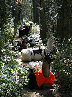 Llamas on the trail 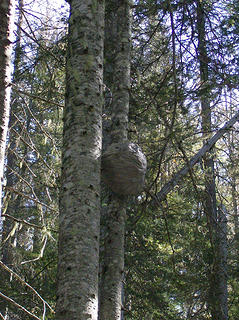 Another nest 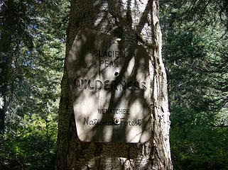 Wilderness sign 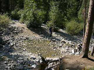 Todd crossing Leroy Crk. 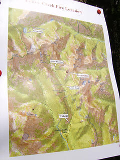 Map 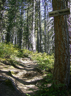 For an unmaintained trail, it's in decent shape 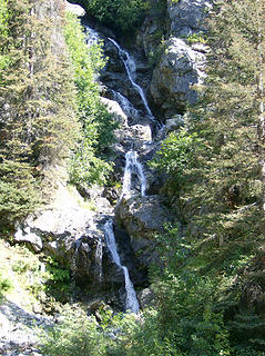 Falls 
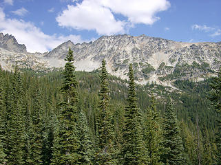 Looking up toward Leroy Basin & Mt. Maude 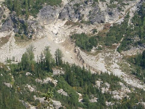 Zoom of the Gully of Doom 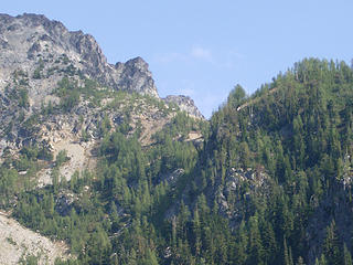 The notch 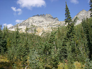 7FJ  We walked downhill a bit to reach a slightly more shallow part of the gully, where Todd & MM put some effort into making a little trail across it. I'm sure this winter will wipe it out, but for any of you going before the storms hit, now you have a decent trail to use. We walked downhill a bit to reach a slightly more shallow part of the gully, where Todd & MM put some effort into making a little trail across it. I'm sure this winter will wipe it out, but for any of you going before the storms hit, now you have a decent trail to use.
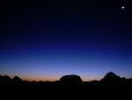
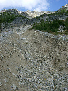 Looking up the Gully of Doom 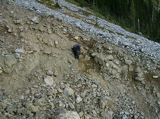 MM makes a path up the other side 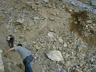 The boys build a path thru the gully 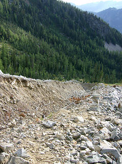 Looking down the Gully of Doom 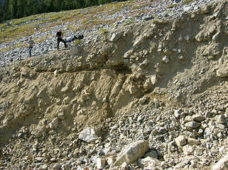 The boyz above the trail they built 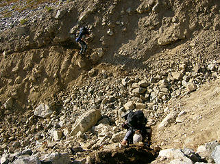 The boys crossing the Gully of Doom 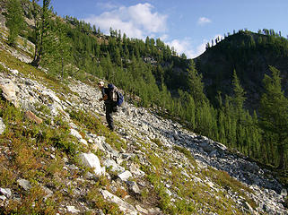 Almost to the notch  Gnarly 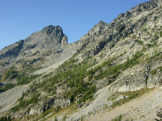 7FJ 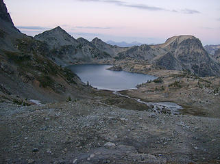 Upper Ice Lk. 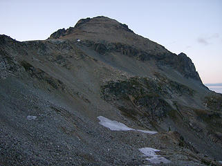 Mt. Maude @ sunset 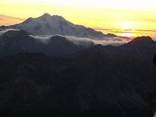 Sunset on Glacier Pk. 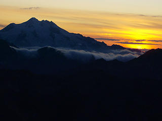 Sunset on Glacier Pk.   The next morning we awoke to clear blue skies once again.
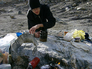 Todd's ancient stove  The boyz @ b'fast 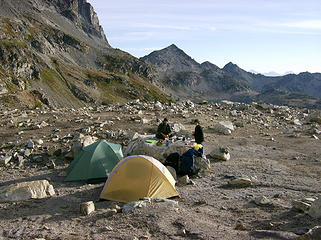 The boyz @ b'fast 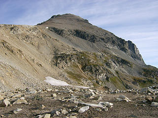 Maude in the morning 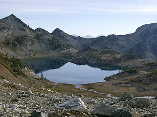 Upper Ice Lk. in the morning 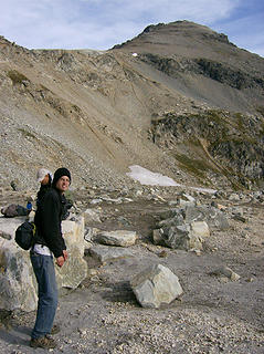 Todd w/big fanny pack 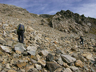 Heading up Maude  Fang 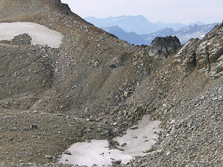 1 label Looking back @ the tiny tents 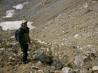 MM coming up 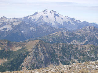 Glacier Pk. 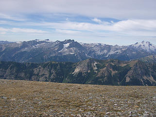 Glacier as seen from the base of Maude 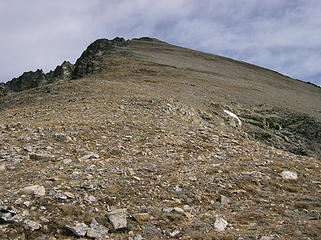 Just a walk-up 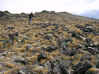 Todd heading up 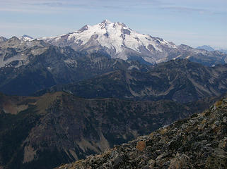 Glacier Pk. 
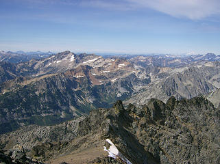 Views from the top 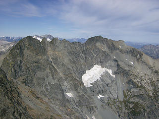 7FJ & Mt. Fernow 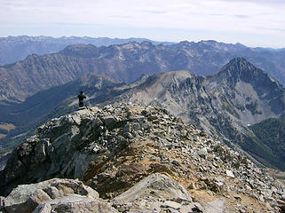 N. & S. Spectacle Buttes 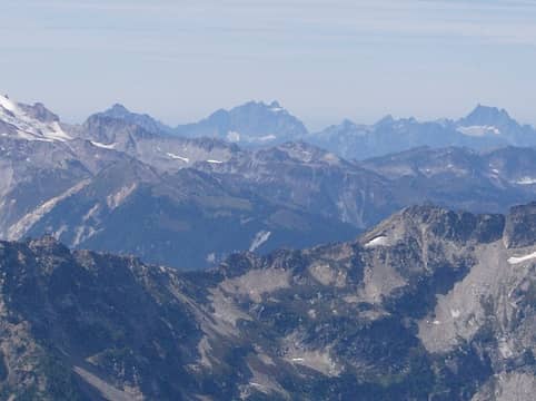 5 labels View west - Mt. Pugh, 3F, Mt.. Bullon, Whitehorse Mtn. 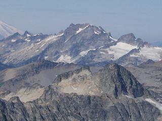 Dome Pk. 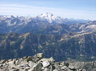 Glacier Pk. 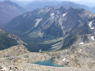 Upper Ice Lk. & Ice Crk. valley 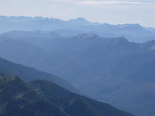 Distant Stuart & others 
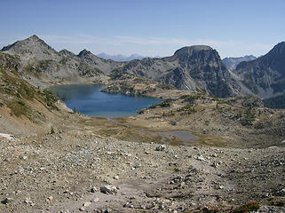
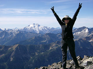 Nixon pose 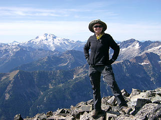 BC on top of Maude 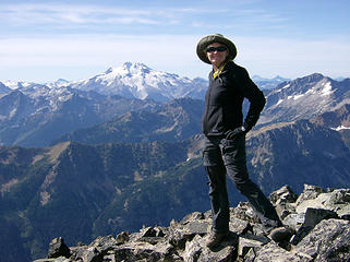 BC on top of Maude 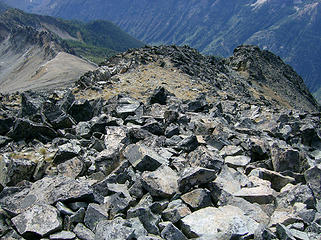 Heading down 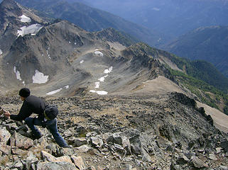 Todd does cairn reinforcement 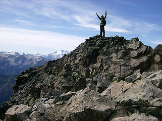 MM 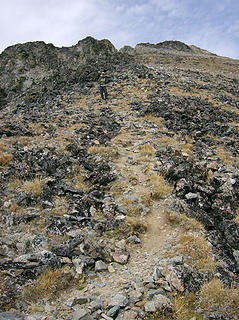 Looking back up 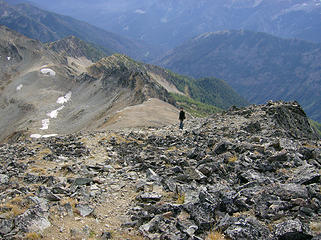 Heading down 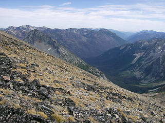 View east 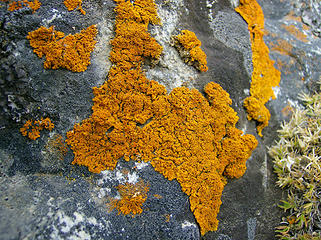 Orange lichen 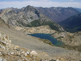 Upper Ice Lk. & the buttes 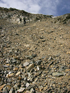 MM coming down 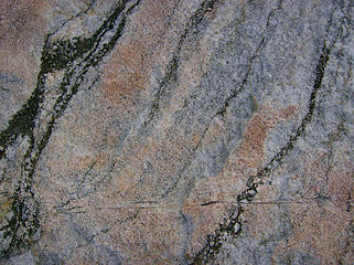 Stripes 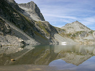 Upper Ice Lk. & Pt. 7746' 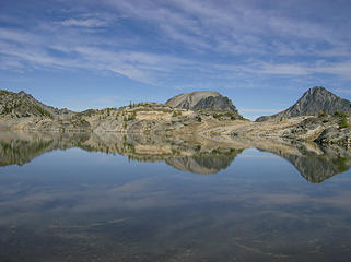 Ice Lk. 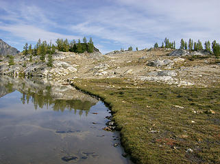 Ice Lk. 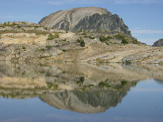 Reflection of N. Spectacle Butte on Ice Lk.  Ice Lk.  Colors 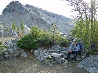 MM @ nice campsite w/a bench 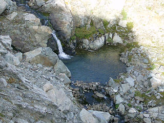 Lk. outlet 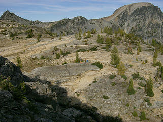 Camp on the other side 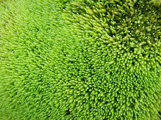 Moss  There wasn't enough daylight that afternoon for Todd to go back up to get them so he opted to get up a couple hrs. early the following morning to retrieve them. Consequently, he got some good sunrise pics. He also re-signed the register. There wasn't enough daylight that afternoon for Todd to go back up to get them so he opted to get up a couple hrs. early the following morning to retrieve them. Consequently, he got some good sunrise pics. He also re-signed the register.
 Dawn @ Ice Lk. 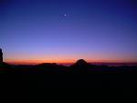 Dawn @ Ice Lk. 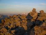 Good Morning, poles 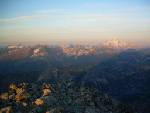 Glacier Pk. Sunrise 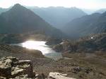 Simmering Ice Lk. Morning 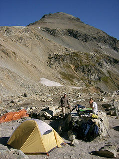 Last morning @ camp  Near the end of the rock traverse, we came across 2 trekking poles left in a somewhat odd location. One was a few feet off the trail, & the other was several feet below that in a small gully. It didn't quite look like someone had just sat down for a break & accidentally left them there, so we worried that someone may have fallen. Near the end of the rock traverse, we came across 2 trekking poles left in a somewhat odd location. One was a few feet off the trail, & the other was several feet below that in a small gully. It didn't quite look like someone had just sat down for a break & accidentally left them there, so we worried that someone may have fallen.  We shouted out & looked around but didn't find anyone. MM retrieved the poles, we hiked down the trail a bit, then used binocs to scan the area above & below where we found the poles but didn't see anything. We shouted out & looked around but didn't find anyone. MM retrieved the poles, we hiked down the trail a bit, then used binocs to scan the area above & below where we found the poles but didn't see anything. 
 Last look @ Upper Ice Lk. 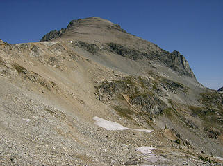 Last look @ Maude 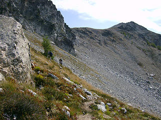 Looking back @ the ridge 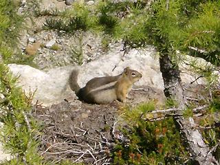 Fat-bellied chipmunk 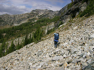 Crossing the rock slope 
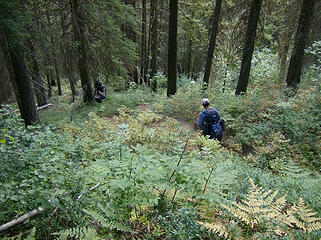 Heading down the steep Leroy Crk. trail 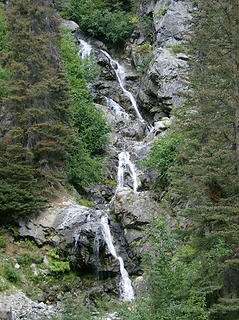 Falls 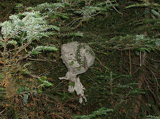 Another nest 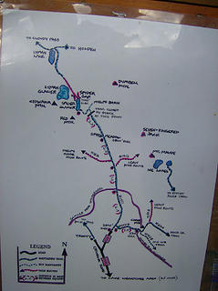 Another sophisticated map  MM also posted a note about the poles we found, but no takers yet.
Great peak & great company, once again! MM also posted a note about the poles we found, but no takers yet.
Great peak & great company, once again! 
Home is where the hiking is.
"Peaks that have come and gone four times should halt a man in his steps." -- William O. Douglas
A balanced diet is a margarita in each hand.
Home is where the hiking is.
"Peaks that have come and gone four times should halt a man in his steps." -- William O. Douglas
A balanced diet is a margarita in each hand.
|
| Back to top |
  
|
|
Magellan
Brutally Handsome

Joined: 26 Jul 2006
Posts: 13117 | TRs | Pics
Location: Inexorable descent |
|
Magellan
Brutally Handsome
|
 Sat Sep 19, 2009 2:52 pm |
|
|
Nice report, nice trail work, nice pictures.
You look pretty happy right here
|
| Back to top |
|
|
EastKing
Surfing and Hiking

Joined: 28 Mar 2007
Posts: 2082 | TRs | Pics
Location: 77 miles from Seattle! |
|
EastKing
Surfing and Hiking
|
Sat Sep 19, 2009 3:01 pm |
|
|
Good job all of you!! Nice pics!!
YouTube | SummitPost
Saw the depths of despair. Now I am salvaging what time I have left on Earth.
YouTube | SummitPost
Saw the depths of despair. Now I am salvaging what time I have left on Earth.
|
| Back to top |
|
|
ale_capone
Member

Joined: 22 Sep 2009
Posts: 720 | TRs | Pics
|
|
ale_capone
Member
|
Tue Sep 22, 2009 1:24 pm Re: Mt. Maude 9082' Sept. 14-16
|
|
|
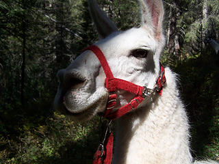
| Bloated Chipmunk wrote: | | Then we came across a guy w/a llama, asking us if we had seen a white llama that got away from him. Evidently he & another hiker further up the trail had been walking along w/a bunch of llamas when a horse party came along & a horse spooked one of their llamas & it took off into the woods. We hadn't seen it, & wished him good luck. Further up the trail we came across his companion who had the llamas parked while they searched for the missing beast. We talked w/her for awhile & took some pics of the resting llamas.
|
I stumbled upon the lost llama on the phelps creek trail this past sunday afternoon. with some help from other hikers and hunters, we got him back to the trail head, out of his heavy pack, calls to the owner, and he was home safe and sound by sunday evening.
|
| Back to top |
|
|
Bloated Chipmunk
Cock Rock Searcher
Joined: 29 Jan 2007
Posts: 2993 | TRs | Pics
Location: Margaritaville |
Home is where the hiking is.
"Peaks that have come and gone four times should halt a man in his steps." -- William O. Douglas
A balanced diet is a margarita in each hand.
|
| Back to top |
|
|
Presto
Living High
Joined: 15 Sep 2009
Posts: 29 | TRs | Pics
Location: Denver, Colorado |
|
Presto
Living High
|
Tue Sep 22, 2009 3:40 pm |
|
|
The highest courage is to dare to be yourself in the face of adversity. Choosing right over wrong, ethics over convenience and truth over popularity. Travel the path of integrity without looking back, for there is never a wrong time to do the right thing.
|
| Back to top |
|
|
harrymalamute
Member

Joined: 26 Apr 2008
Posts: 852 | TRs | Pics
Location: Spokane |
that is good news about the llama, you peeps just might get addicted to altitude if you keep going to the high places. i need to get me some trail builders to go hiking with me. todd next time trick em and don't wear any undies. 
hikes and climbs with malamute
hikes and climbs with malamute
|
| Back to top |
|
|
MountainMan
Member

Joined: 15 Jul 2008
Posts: 365 | TRs | Pics
Location: San Diego |
My Maude Pics:
 Llama 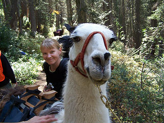 BC and Llama 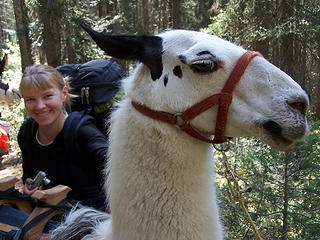 BC and Llama 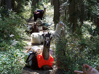 Llamas 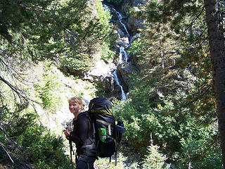 Leroy Creek Falls 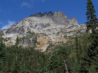 Seven Fingered Jack 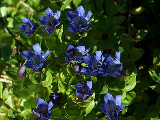 Gentian 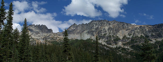 7 Finger Jack and Maude from Leroy Basin 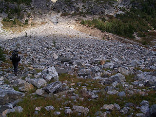 Approaching Gully Of Doom. 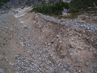 Gully Of Doom 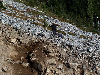 On the other side!  First notch/saddle.  Almost to the first saddle. 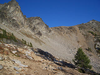 Looking up at second saddle above Ice Lakes. 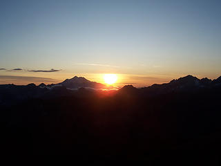 Sunset 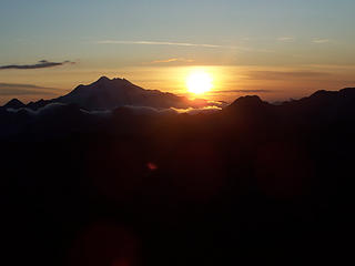 Sunset 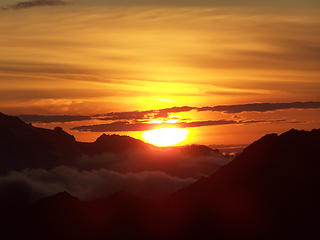 Sunset 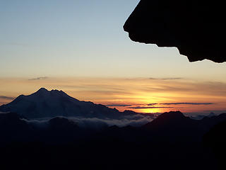 Sunset 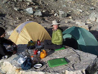 Camp 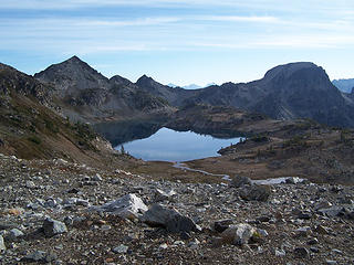 Upper Ice lake 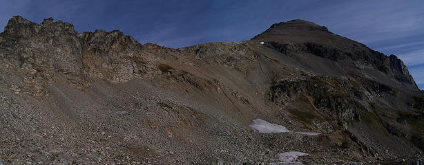 Ridge and Maude from our camp, 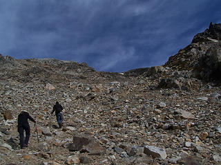 Headed up 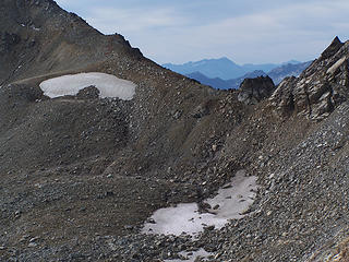 Looking back at camp. 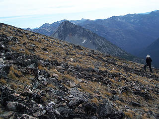 BC headed up Maude. 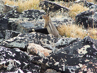 Chipmunk 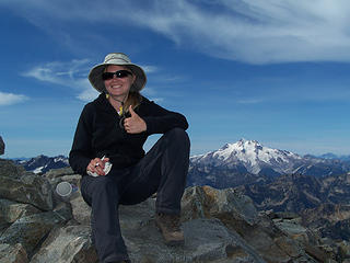 Made it! 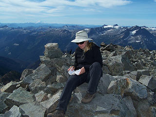 Summit register 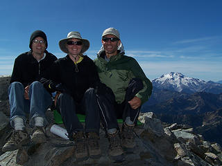 Todd, BC and MM on Mt. Maude. 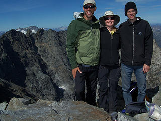 Us on Mt. Maude. 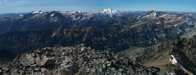 Maude 1 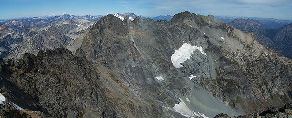 Maude 2 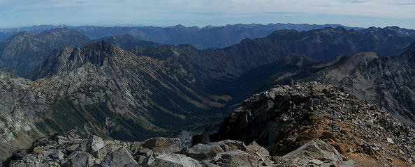 Maude 3 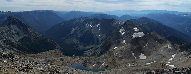 Maude 4 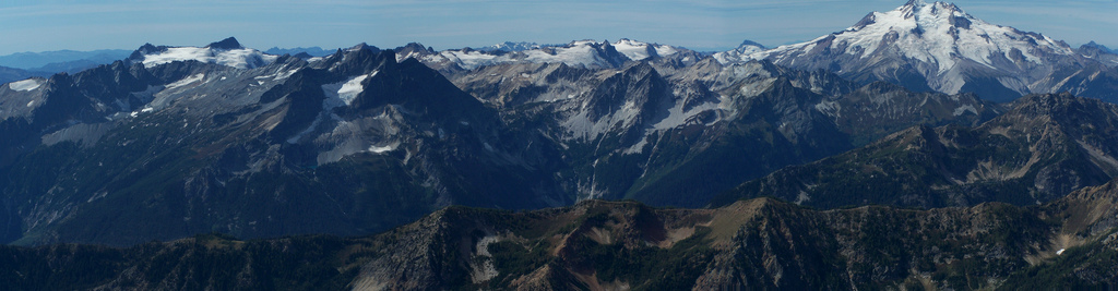 Clark to Glacier 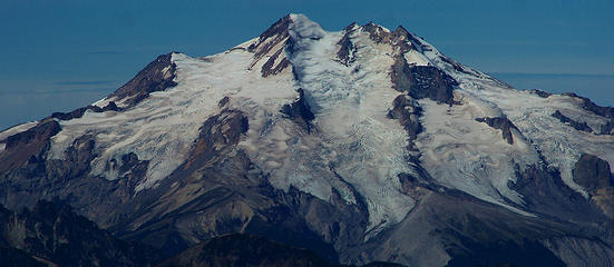 Glacier Pk. from Maude 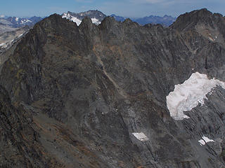 7 Fingered Jack  Pyramid Mtn. 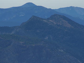 Duncan Hill 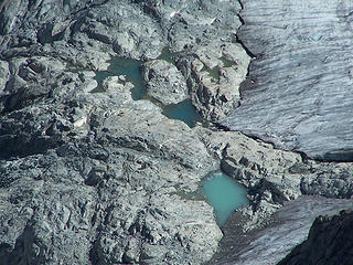 Ponds 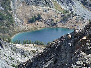 Lower Ice Lake 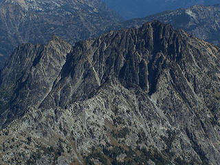 Buckskin Mtn. 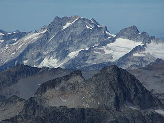 Dome Peak 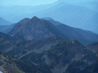 Old Gib and Carne Mtn. 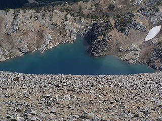 Upper Ice lake 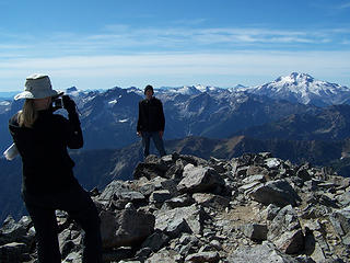 Todd 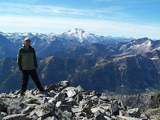 Me 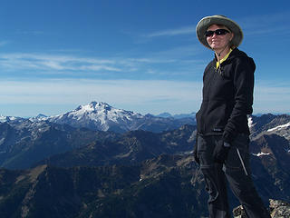 BC 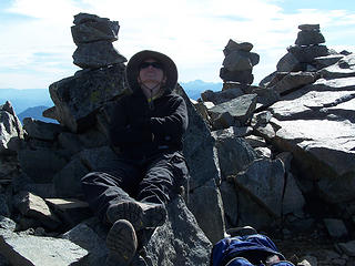 BC relaxing 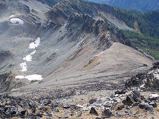 Looking down 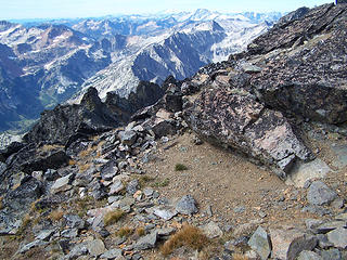 Bivy spot near the summit 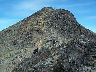 The Summit 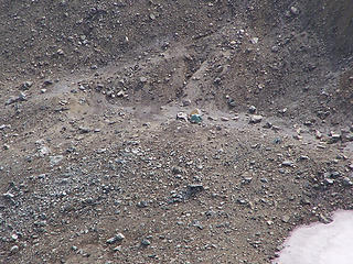 Tents zoomed 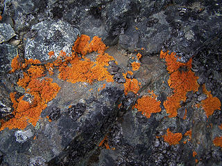 Orange Lichen 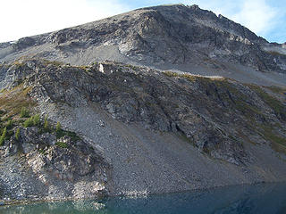 Maude over Ice Lake 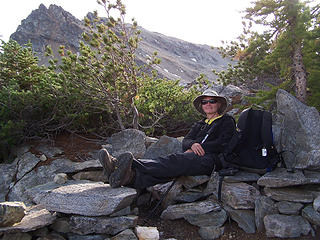 Nice Ice Lk camp site. 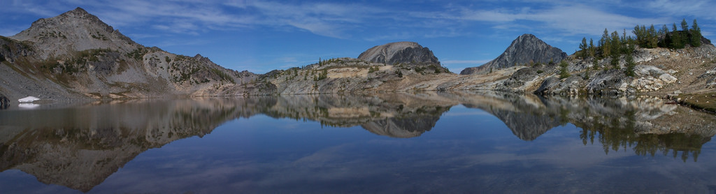 Upper Ice Lake reflection 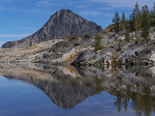 S Spectacle reflection 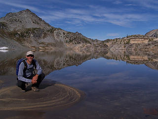 Me at Upper Ice Lake. 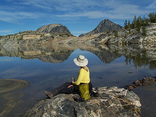 BC at Upper Ice Lake. 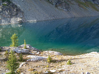 Blue/green 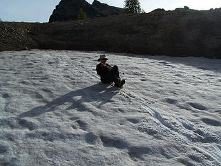 Glissading 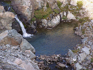 Outlet Pond 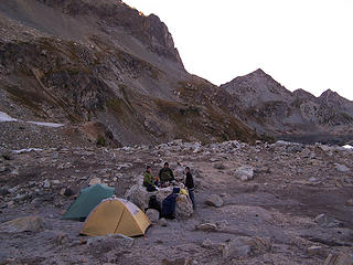 Camp 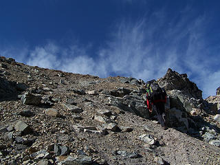 Heading out 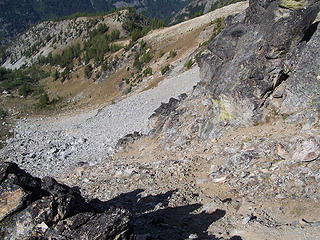 Looking down from saddle. 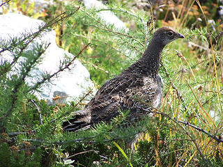 Ptarmigan 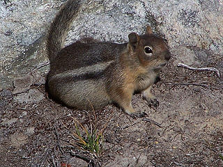 Chipmunk 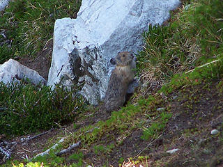 Pika 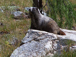 Marmot 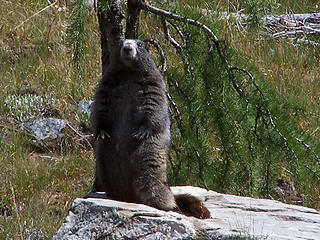 Marmot 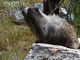 Marmot 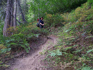 BC coming down the Leroy Creek Trail. 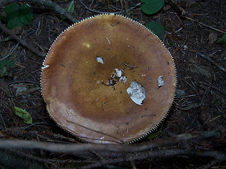 Mushroom 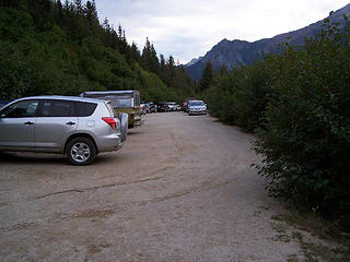 Lots of cars on a Wednesday.
Slow down, take notice, savor the moment, appreciate the world around you and everything that you have.
Slow down, take notice, savor the moment, appreciate the world around you and everything that you have.
|
| Back to top |
|
|
|
|
You cannot post new topics in this forum
You cannot reply to topics in this forum
You cannot edit your posts in this forum
You cannot delete your posts in this forum
You cannot vote in polls in this forum
|
Disclosure: As an Amazon Associate NWHikers.net earns from qualifying purchases when you use our link(s). |


