| Previous :: Next Topic |
| Author |
Message |
Movenhike
\m/..mmmmetal\m/

Joined: 16 Apr 2007
Posts: 642 | TRs | Pics
Location: Leavenworth, WA |
|
Movenhike
\m/..mmmmetal\m/
|
 Sat May 15, 2010 1:58 pm |
|
|
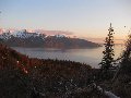
I was down in Bend, OR this week. My friends suggested a hike in the Crooked River National Grassland west of Terrebonne, Oregon. It turned out to be an excellent hike in a desert canyon.
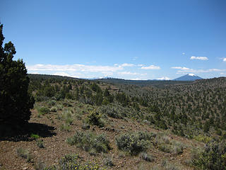 Crooked river national grassland 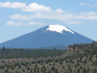 Black Butte 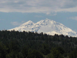 Sisters 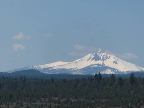 mountains looming above crooked river national grassland 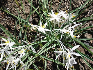 little white and yellow 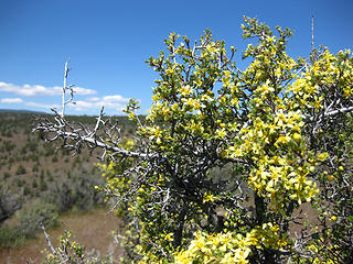 Sagebrush blooming 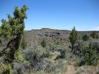 near trailhead 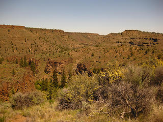 descending from rim 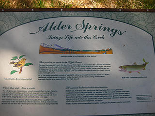 Alder springs info 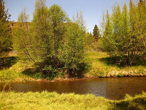 creek ford 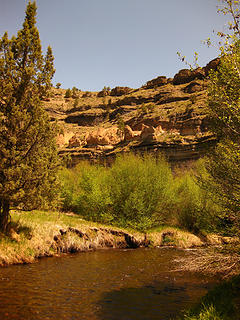 crossing of Squaw creek 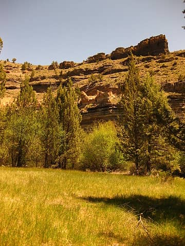 Alder Springs meadow 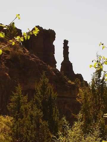 hoodoo 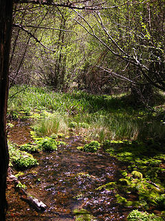 Mossy oasis in the desert 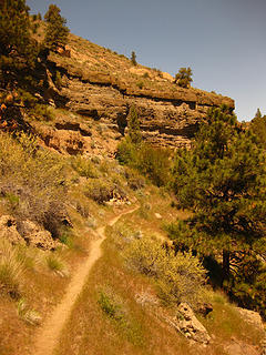 Trail and formations 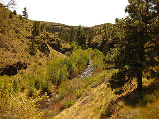 Squaw Creek 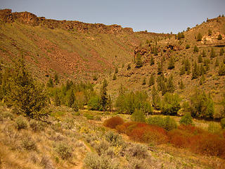 Lower Squaw creek  Gettin' crooked 2 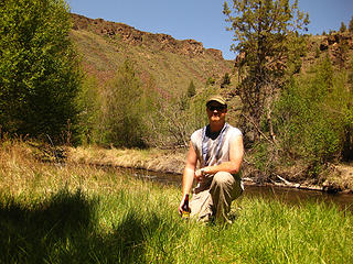 Gettin' Crooked 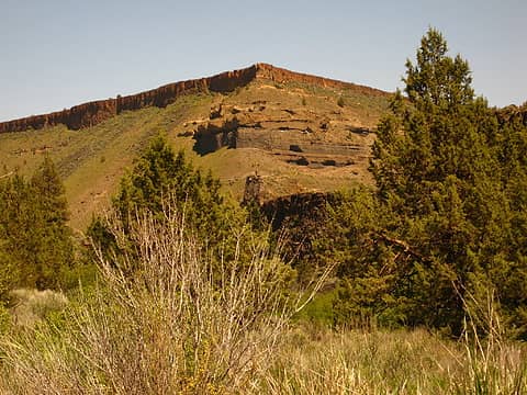 Meadow near confluence 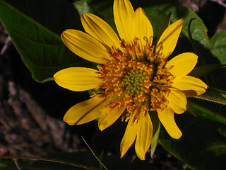 yellow 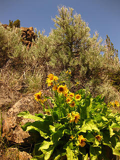 Canyon Scenery 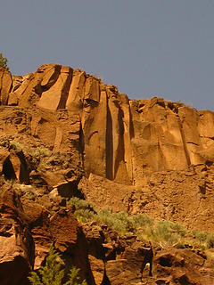 Basalt 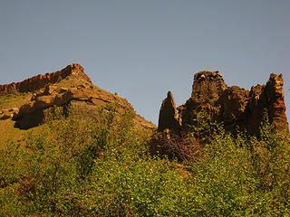 Deschutes River/Squaw Creek confluence area 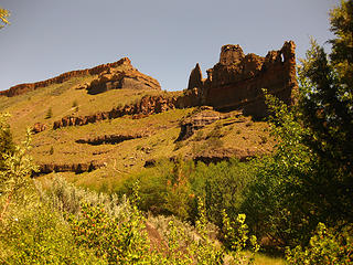 Deschutes rocks and rim 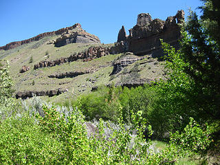 Deschutes rocks 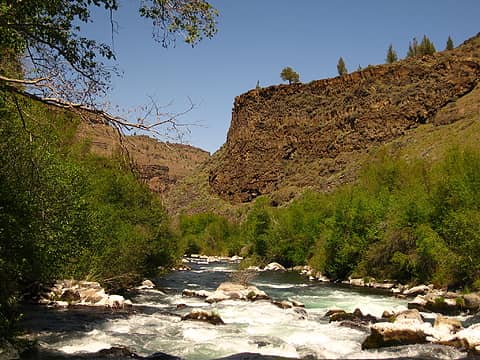 Deschutes River Canyon 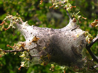 Catepillar house 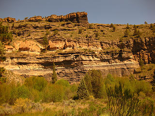 Canyon Meadow  By the time I returned to the trailhead I had covered about 9 miles and had developed a notable sunburn. My elevation gain for the day was perhaps 1000' all together. I spent 6 or so hours in the canyon.
The Crooked River Grassland is very beautiful and Central Oregon in general seems to have a lot going for it.
By the time I returned to the trailhead I had covered about 9 miles and had developed a notable sunburn. My elevation gain for the day was perhaps 1000' all together. I spent 6 or so hours in the canyon.
The Crooked River Grassland is very beautiful and Central Oregon in general seems to have a lot going for it. 
"Make it your Friend" -John Bull
"Make it your Friend" -John Bull
|
| Back to top |
  
|
|
kyle d
Member

Joined: 03 Jun 2007
Posts: 521 | TRs | Pics
Location: Ogden, UT |
|
kyle d
Member
|
Sat May 15, 2010 5:15 pm |
|
|
Nice. Looks like you're getting out all over the place lately.
|
| Back to top |
|
|
|
|
You cannot post new topics in this forum
You cannot reply to topics in this forum
You cannot edit your posts in this forum
You cannot delete your posts in this forum
You cannot vote in polls in this forum
|
Disclosure: As an Amazon Associate NWHikers.net earns from qualifying purchases when you use our link(s). |


