| Previous :: Next Topic |
| Author |
Message |
b00
Member


Joined: 29 Sep 2003
Posts: 1144 | TRs | Pics
|
|
b00
Member
|
 Sat Jul 10, 2010 9:25 am |
|
|
little tahoma 7/6 - 7/7/2010
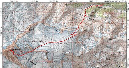 little_tahoma_route.JPG
|
| Back to top |
  
|
|
twodogdad
Member

Joined: 21 Nov 2006
Posts: 846 | TRs | Pics
Location: seattle |
Thanks, b00!
Happy trails,
N
|
| Back to top |
|
|
Andy D.
Member

Joined: 19 Apr 2004
Posts: 209 | TRs | Pics
Location: Bow, WA |
|
Andy D.
Member
|
Fri Jul 16, 2010 11:09 am |
|
|
Thanks for kicking steps! 
 you guys heading down  Baker to Jefferson
|
| Back to top |
|
|
dicey
custom title

Joined: 11 May 2004
Posts: 2870 | TRs | Pics
Location: giving cornices a wider berth |
|
dicey
custom title
|
Mon Jul 19, 2010 10:15 am |
|
|
I missed seeing this TR....
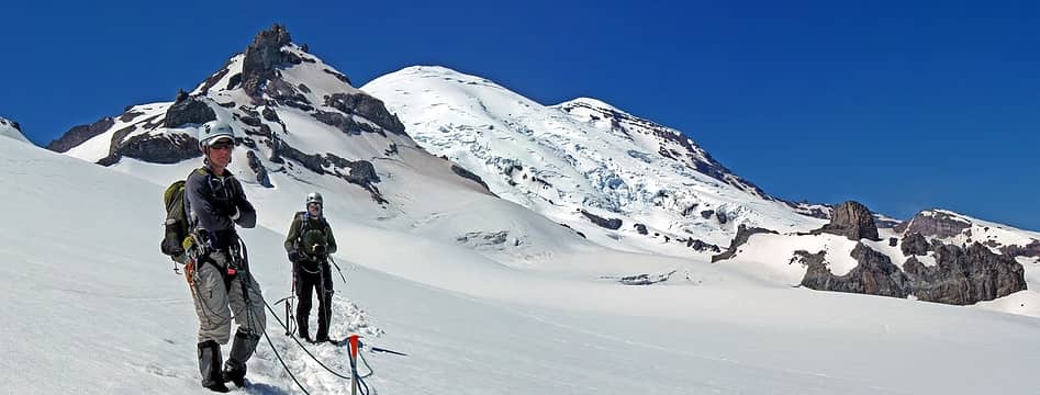
Thanks for the invite b00. I agree that this trip was a lot easier than I expected it to be. Lots of snow up high.
Fun running into AndyD and his brother up there 
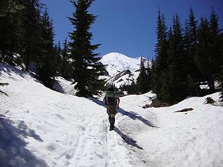 snow covered trail below Summer Land 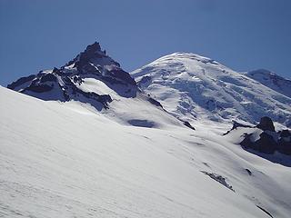 traversing to Meany crest 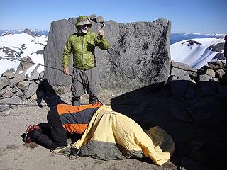 caption this photo!  marker on Meany Crest 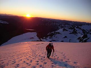 oops! 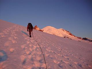 morning light on Rainier 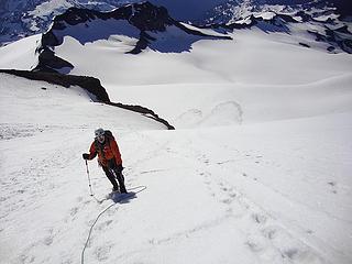 JB above the Whitman glacier 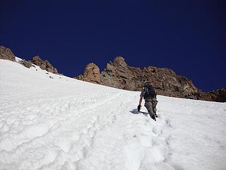 still going up 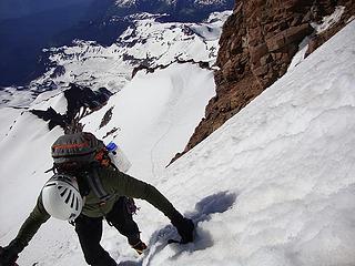 a steep bit 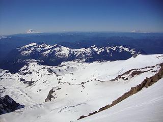 3 volcano view 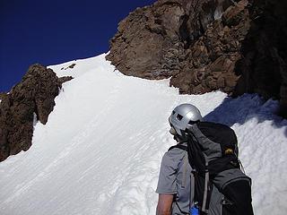 last bit of snow before the rock 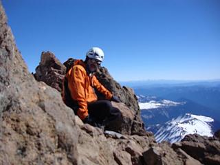 Blurry JB on the summit  blurry Brett on the summit 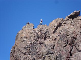 AndyD and bro on Little Tahoma
|
| Back to top |
|
|
b00
Member
Joined: 29 Sep 2003
Posts: 1144 | TRs | Pics
|
|
b00
Member
|
Tue Jul 20, 2010 3:11 pm |
|
|
| Andy D. wrote: | | Thanks for kicking steps! |
thanks for grabbing our rope :>)
here is a pic of you guys on the summit:
 IMG_6103.JPG
|
| Back to top |
|
|
b00
Member
Joined: 29 Sep 2003
Posts: 1144 | TRs | Pics
|
|
b00
Member
|
Tue Jul 20, 2010 3:13 pm |
|
|
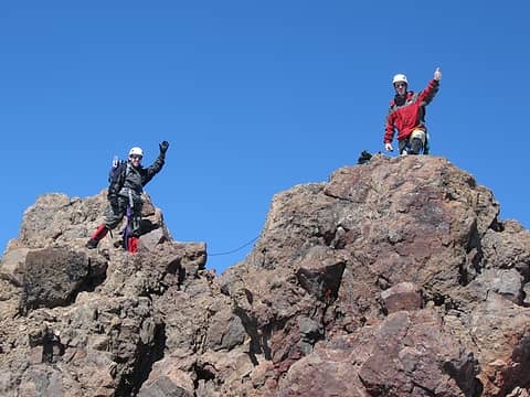
here are some pics from our climb(also proof positive that little t is taller than big t, mt rainer!):
 little tahoma(on the left), as anyone can obviously see from this photo, is taller than mt rainier(center). anyone who thinks otherwise, obviously has never been here :>) 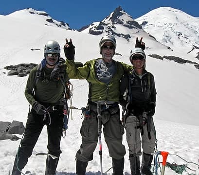 IMG_6174-adj.jpg 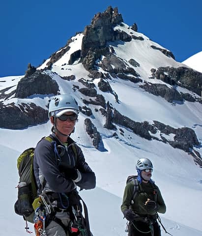 pano-26.jpg 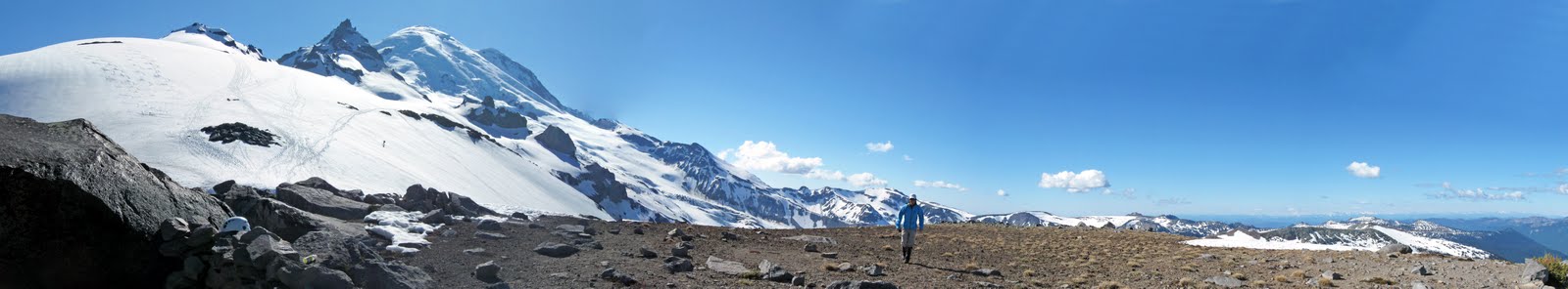 pano-5-meany_crest.jpg 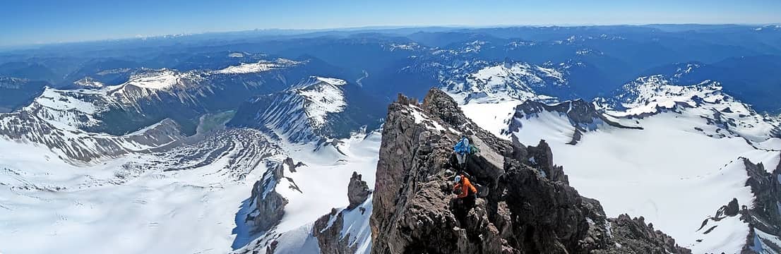 pano-22-just_below_little_tahoma_summit.jpg 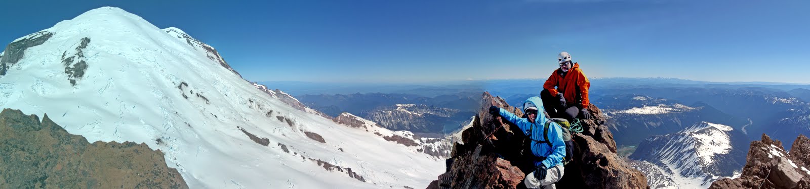 pano-24-summit_little_tahoma.jpg
|
| Back to top |
|
|
iron
Member

Joined: 10 Aug 2008
Posts: 6392 | TRs | Pics
Location: southeast kootenays |
|
iron
Member
|
Sun Jul 25, 2010 7:46 pm |
|
|
|
| Back to top |
|
|
|
|
You cannot post new topics in this forum
You cannot reply to topics in this forum
You cannot edit your posts in this forum
You cannot delete your posts in this forum
You cannot vote in polls in this forum
|
Disclosure: As an Amazon Associate NWHikers.net earns from qualifying purchases when you use our link(s). |


