Quark
Niece of Alvy Moore


Joined: 15 May 2003
Posts: 14152 | TRs | Pics
|
|
Quark
Niece of Alvy Moore
|
 Tue Aug 10, 2010 11:25 pm |
|
|
Most folks use this trail to bag Gypsy Peak, one of the 50 highest in Eastern Washington (dont ask me the definition of Eastern Washington). I went the opposite way on the ridge, and roam it's idyllic meadows for a couple of miles, and spent the day there.
Drive the main trunk road (2220?) to a bridge, then a 2nd one (one lane).* Take the first gated road on the left. Drive 11 miles to the end and the trailhead. Narrow road in places; you will dread meeting an oncoming vehicle. It is a very pretty drive.
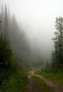 Crowell Ridge - road and fog 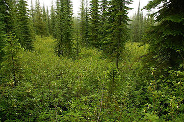 Crowell Ridge - not a great photo, but acres and acres of Western azalea are in FULL BLOOM 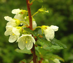 Crowell Ridge - Western azalea 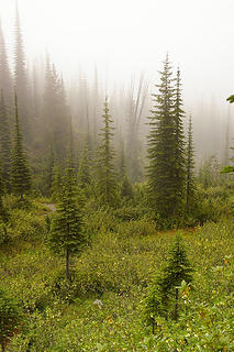 Crowell Ridge - fog and western azalea 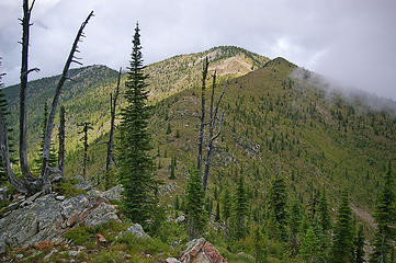 Crowell Ridge - Gypsy Peak 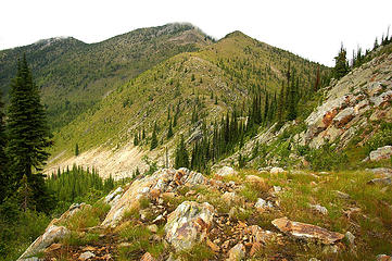 Crowell Ridge - Gypsy Peak from ridge 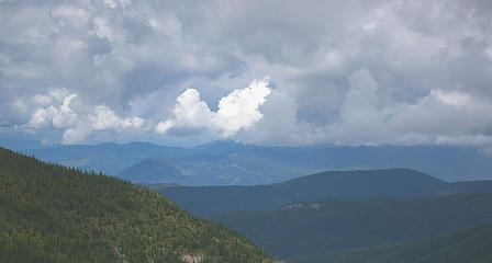 Crowell Ridge - O Canada - see 100 foot swath of border, center of photo 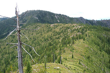 Crowell Ridge - goes on and on - see trail in center, continues to sidehill big mtn to the far left 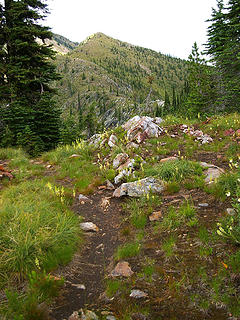 Crowell Ridge - lots of horn beaked lousewort and Gypsy Peak 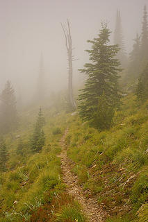 Crowell Ridge - nearing the ridgetop, morning 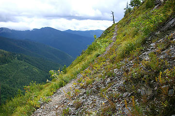 Crowell Ridge - trail soars up the slope, sidehilling 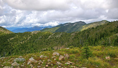 Crowell Ridge - view 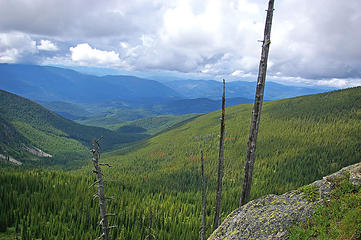 Crowell Ridge - view2 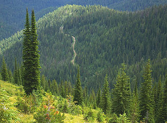 friend of Jackson Browne  I didn't have a Forest map, either, so just went by directions given me by the Backcountry Horsemen, who I camped with for 2 nights. It's fun to just show up somewhere. I didn't have a Forest map, either, so just went by directions given me by the Backcountry Horsemen, who I camped with for 2 nights. It's fun to just show up somewhere. 
"...Other than that, the post was more or less accurate."
Bernardo, NW Hikers' Bureau Chief of Reporting
"...Other than that, the post was more or less accurate."
Bernardo, NW Hikers' Bureau Chief of Reporting
|


