| Previous :: Next Topic |
| Author |
Message |
fettster
Member

Joined: 29 Apr 2007
Posts: 182 | TRs | Pics
Location: Hillsboro, OR |
|
fettster
Member
|
 Sat Sep 11, 2010 4:26 pm |
|
|
Oh boy, the Elkhorn Crest trail has been in the top 5 of my to-do for good while now, and almost made it off the list last year until things petered out the week before the trip. Finally this year everything came together with JeffS, Gordon, and our friend Lily all getting together for the trip.
Gordon and Lily did us a huge favor by heading out Friday morning for Anthony Lake to reserve us a car camping site. Jeff and I had to work that morning and finally caught up to them in Baker City a bit before 6 PM for a quick bite. The Elkhorn Crest trail is a point-to-point hike which we decided to tackle north to south. There are two options for the south trailhead, and we opted for the one with more driving, but much better road conditions. After dropping off Gordons vehicle, we made it around to camp at Anthony Lake on the north end around 10 PM.
Day 1 - Elkhorn Crest (AKA, Anthony Lake) TH to Summit Lake, 10 miles
Saturday we packed up and got on the trail around 9:30 AM. The low clouds bunching up on the mountains had us a little worried. After a few stop-n-go misfires we finally got a rhythm going for the climb up to Angell Pass at 8200 feet. I think we were all mesmerized by the GRANITE rock we saw, very reminiscent of the nearby Wallowa Range or the Enchantments in Washington. As we broke above the trees we had a great view of the Antone Creek drainage and Van Patten Peak, whose western face was just starting to light up in the morning sun. The menacing clouds we saw at camp were clearing up nicely. Once we reached the pass we officially entered the North Fork John Day Wilderness.
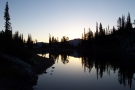
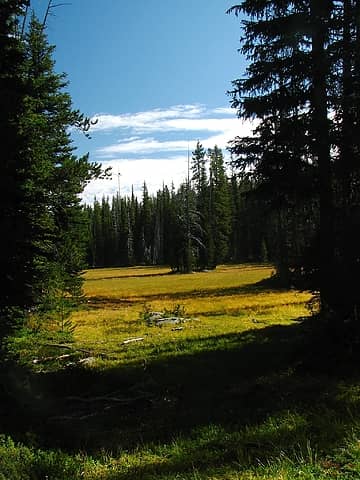 Early meadow 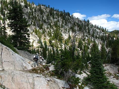 Climbing 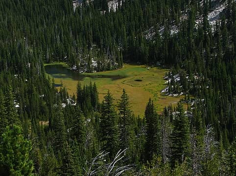 Inviting and trail-less meadow along Antone Creek 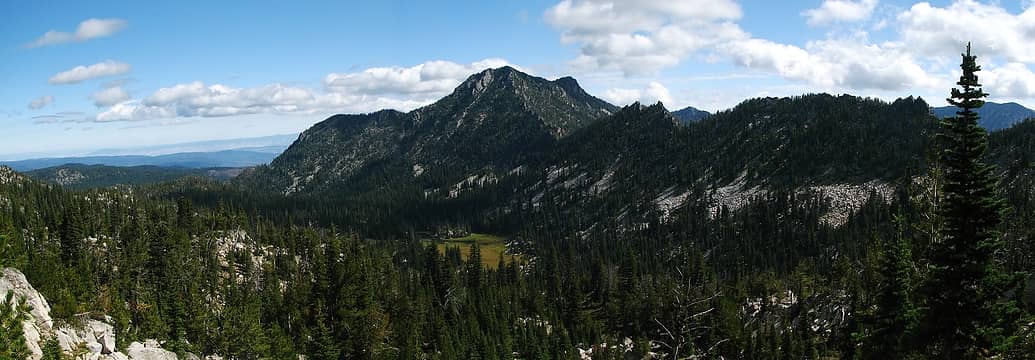 Van Patten Peak and Antone Creek drainage 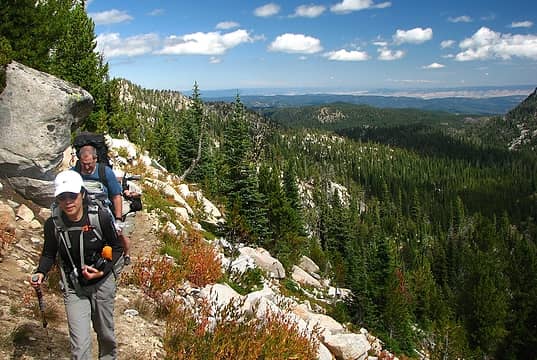 The four amigos rally to Angell Pass 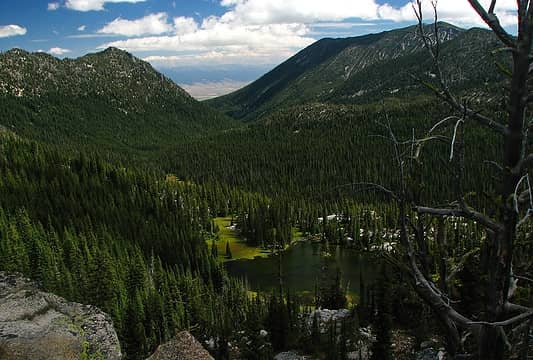 Dutch Flat Lake 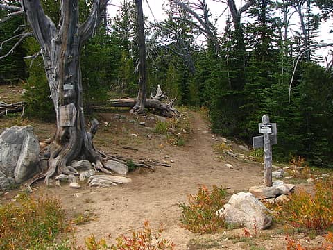 Dutch Flat Saddle, North Fork John Day Wilderness 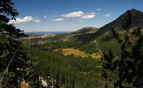 Crawfish Meadow 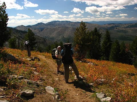 Cunningham Cove and fire scars on Sloans Ridge 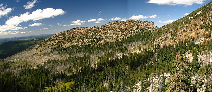 A look back to Cunningham Saddle 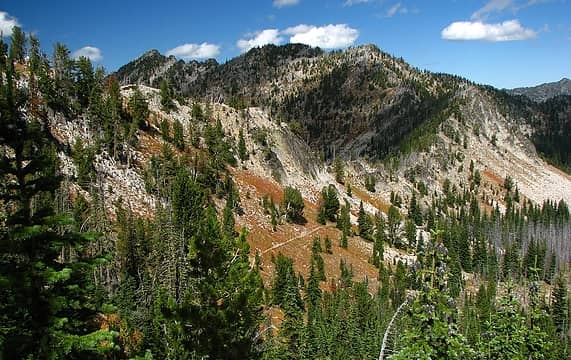 Nip-and-Tuck Pass, 7800' 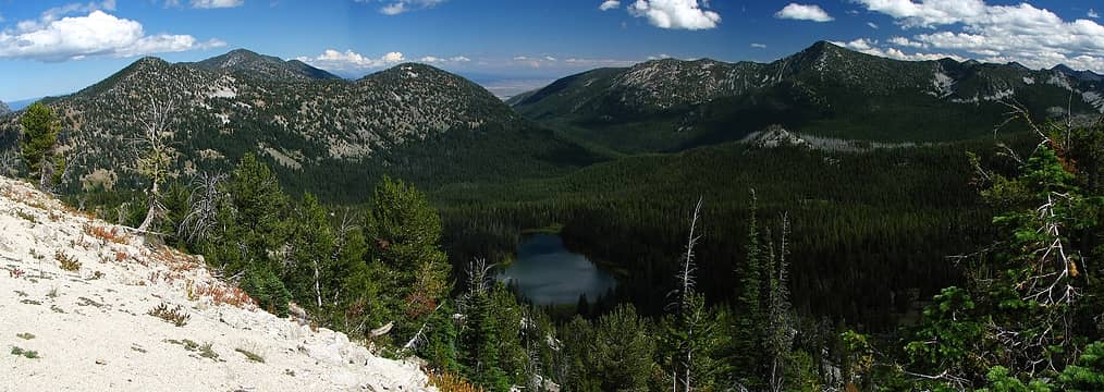 Beautiful Lost Lake and North Powder River drainage 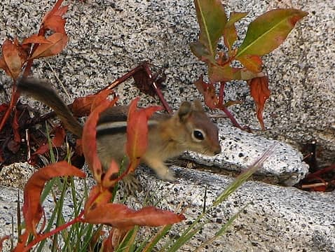 Our small footed buddies 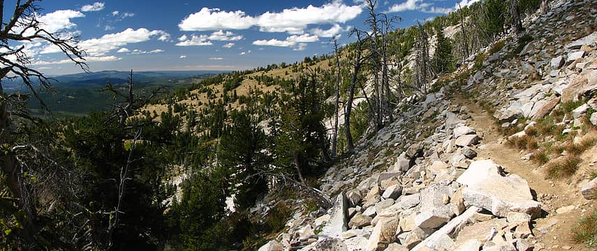 North Fork John Day River along west flank of Mt Ruth 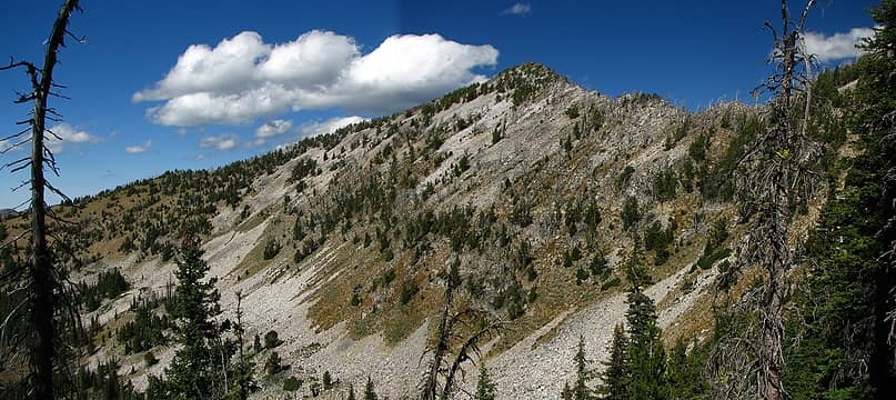 8600' Mt Ruth 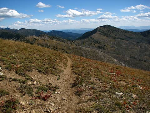 Nearing Cracker Saddle 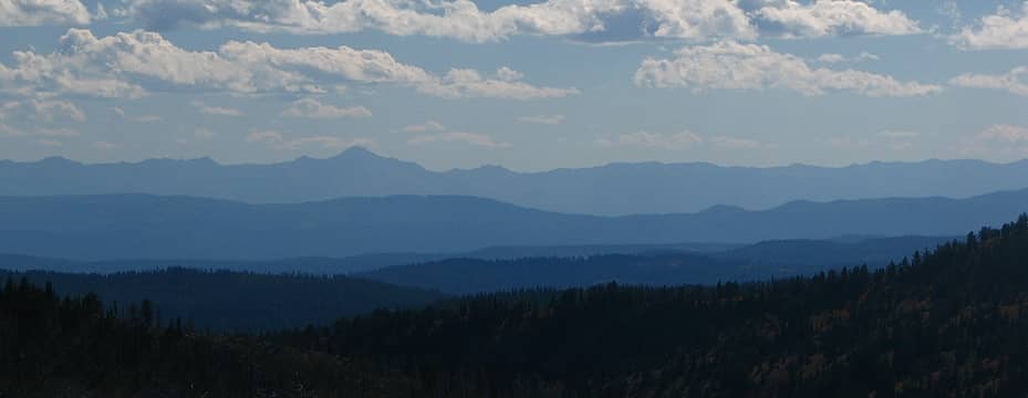 Strawberry Mountain to the southwest 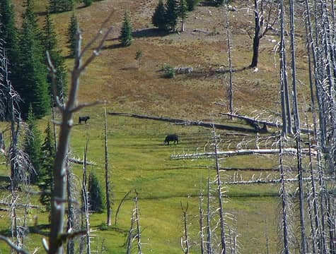 Huh? 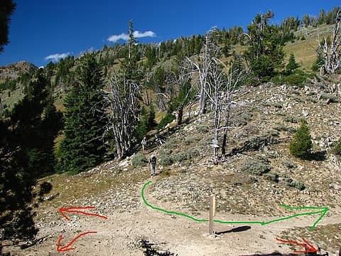 Cracker Saddle junction confusion 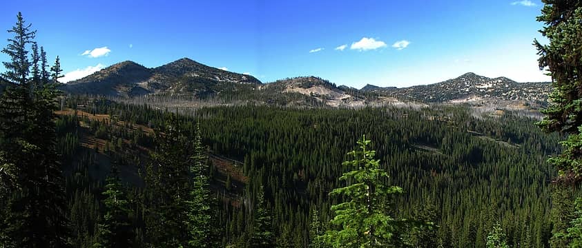 Mt Ruth and North Powder drainage on side trail to Summit Lake 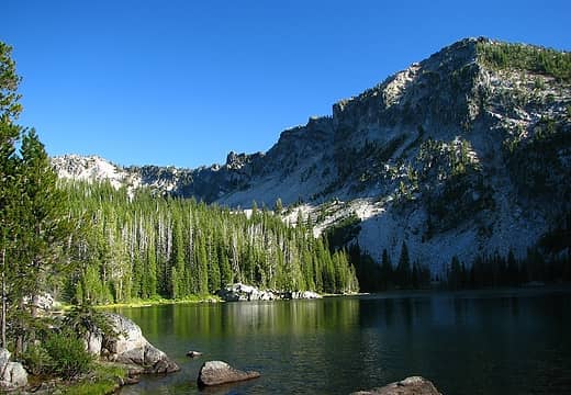 Summit Lake 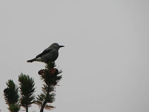 Clark's Nutcracker, common along the crest trail 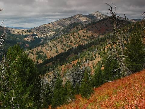 Mt Ruth from the south, Cracker Saddle (at left) 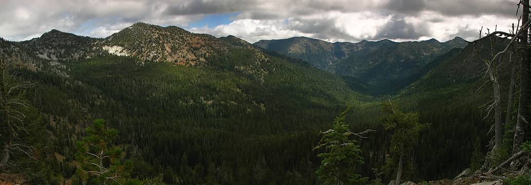 Western Union Basin 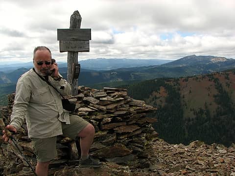 Local calls to God only 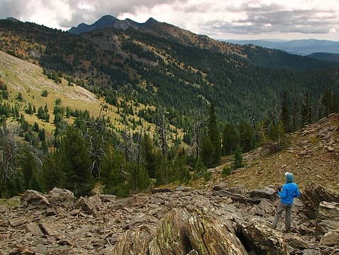 Lily and distant Rock Creek Butte 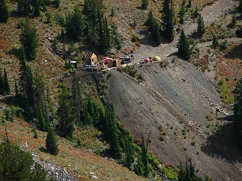 Buckeye Mine 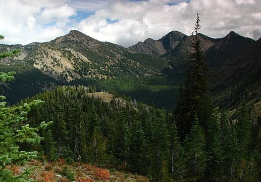 Rock Creek drainage 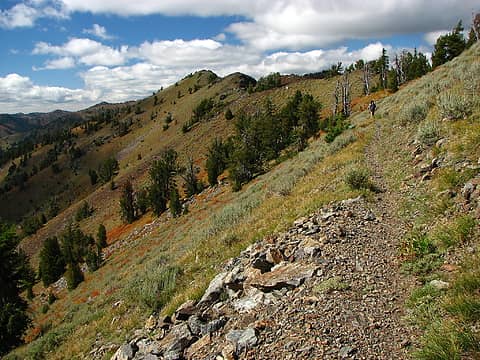 Walking the crest 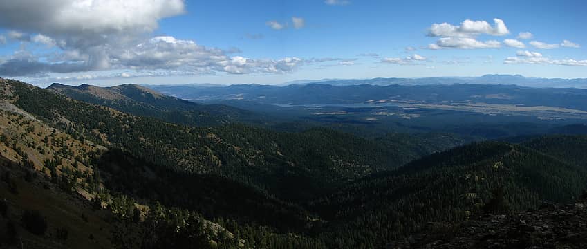 Sumpter Valley 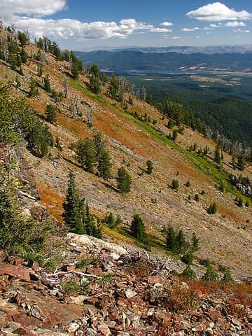 A rare spring near the crest trail 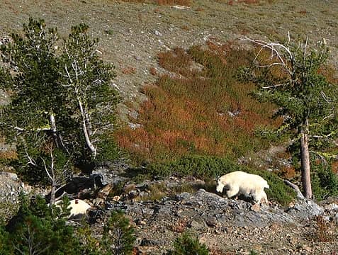 Goat! 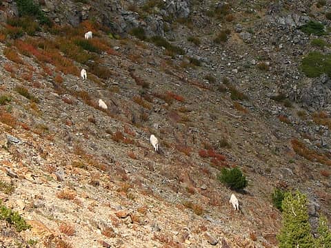 A little too close for comfort...the goats make a quick exit. 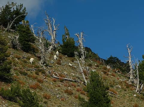 Away to the summit 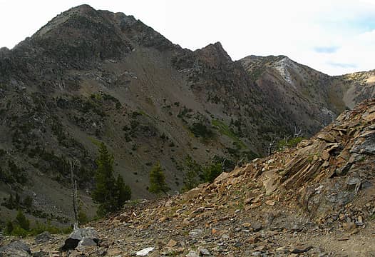 Steep eastern slope of Rock Creek Butte 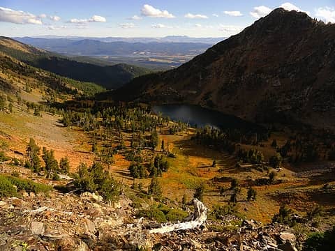 Twin Lakes await (photo by Jeff S) 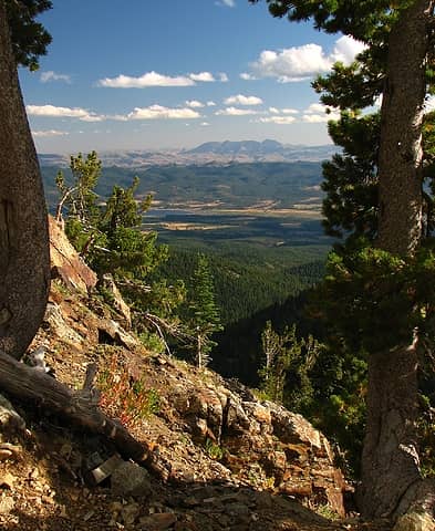 Summer skies, Ironside Mountain to the south 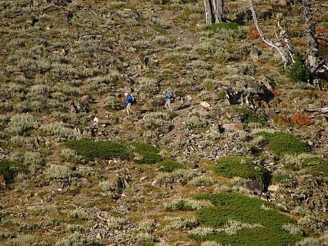 Gordon and Lily descend to camp 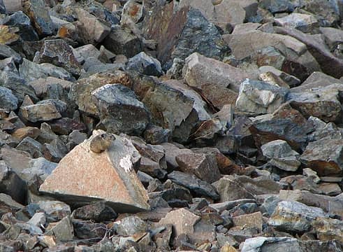 Pika 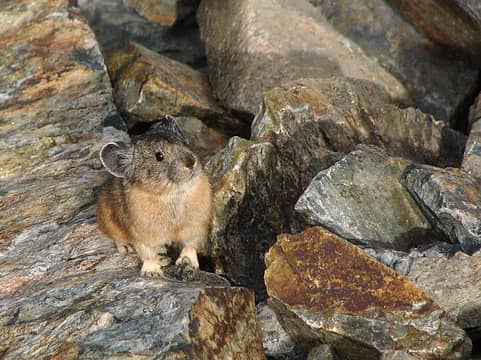 Dictionary cute 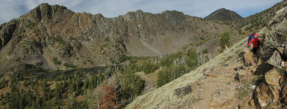 Lily and Jeff descending back to camp, Rock Creek Butte upper right 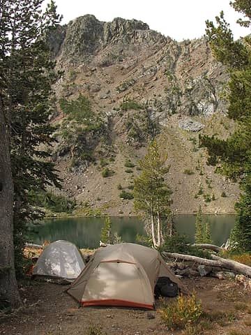 Twin Lakes camp 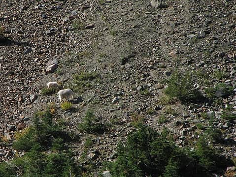 Breakfast for two 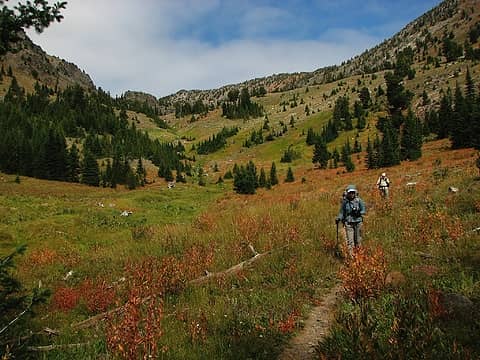 Descent to the trailhead 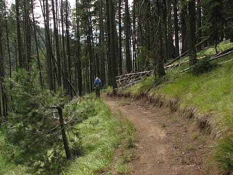 Almost there
|
| Back to top |
  
|
|
Flora
Enjoying the Sun!

Joined: 25 Mar 2007
Posts: 1035 | TRs | Pics
Location: Land of many waters |
|
Flora
Enjoying the Sun!
|
Sat Sep 11, 2010 5:33 pm |
|
|
Thanks for your great report. I just visited Anthony Lakes this past week and did the dayhike loop around Gunsight Mountain. Your trip along the Crest is quite enticing.
Great area!
|
| Back to top |
|
|
fettster
Member
Joined: 29 Apr 2007
Posts: 182 | TRs | Pics
Location: Hillsboro, OR |
|
fettster
Member
|
Mon Sep 13, 2010 7:41 am |
|
|
| Flora wrote: | | I just visited Anthony Lakes this past week and did the dayhike loop around Gunsight Mountain. |
Anthony Lake itself is sure a stunner too at over 7000 feet. We met a couple doing the loop while we took a break at Angell Pass. Did you make it up to the lookout as well?
|
| Back to top |
|
|
Flora
Enjoying the Sun!
Joined: 25 Mar 2007
Posts: 1035 | TRs | Pics
Location: Land of many waters |
|
Flora
Enjoying the Sun!
|
Mon Sep 13, 2010 7:47 am |
|
|
|
| Back to top |
|
|
|
|
You cannot post new topics in this forum
You cannot reply to topics in this forum
You cannot edit your posts in this forum
You cannot delete your posts in this forum
You cannot vote in polls in this forum
|
Disclosure: As an Amazon Associate NWHikers.net earns from qualifying purchases when you use our link(s). |


