seattlehikertoo
Member


Joined: 26 Jun 2008
Posts: 582 | TRs | Pics
Location: Finding an alternative to Mailbox Pk |
It was a sunny Friday and I didn't have to work so I felt compelled to accommodate the weather by summiting a peak I had not done. Florence fit the bill perfectly since it was only an 1:15 to 1:30 away, and as usual, I knew I would not be on the trail until the afternoon. One thing you can count on is that when you are pressed for time, you will get loads of people in the left lane going 55 on I-5, and a few more on Carbon River Rd going 25.
I arrived at the Carbon River Ranger Station, elev 1700 bright and early anyway at the stroke of 245p. I was heading up the interpretive trail by 3p.
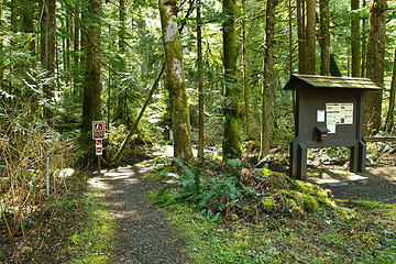 Interpretive Trail by Ranger Station leads to Alki Crest 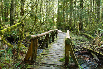 Nice 3/10 of a mile interpretive trail. Great for kids. 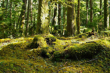 Mossy delight along interpretive trail 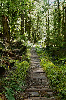 Greener than green 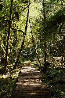 The letter "A" along the interpretive trail 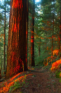 Massive Doug-Firs and Hemlocks along the lower portion of trail. 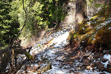 First snow cover on trail c1.25mi,2888ft 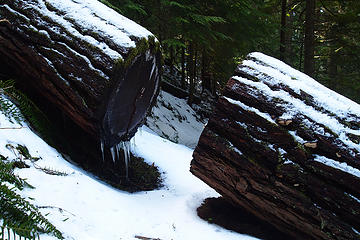 Large cut log wth icicles c1.35mi,2967ft 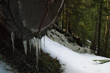 Large cut log wth icicles closeup 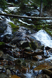 Falls and crossing c1.5mi,3064ft 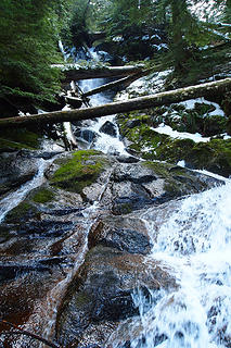 Falls and crossing c1.5mi,3064ft 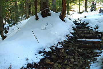 Steps along drainage c1.82mi,3240ft 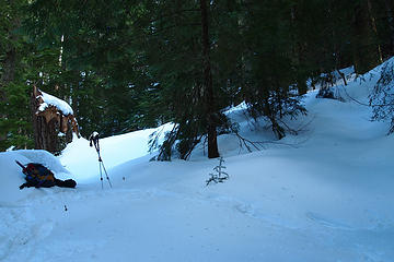 Route choice was where my poles are. You can go right, but longer and less steep. c2.25mi,3450ft 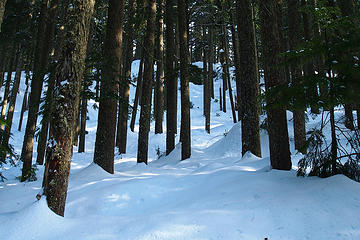 Breaking trail just right of center 2.35mi,3550ft 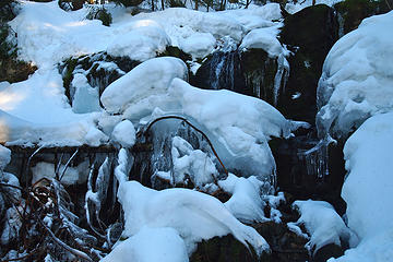 Icy drainage. c2.77mi,3821ft. I stayed right right of this going up. 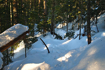 I turned right and up just past this large tree c3mi,4089ft. Probably could have stayed straight. 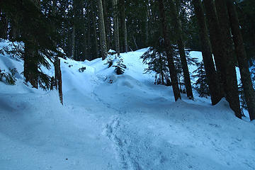 My route c3.1mi,4250ft 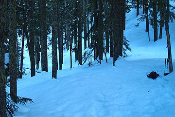 My route on the far right c3.3mi,4370ft. Probably better to start bearing at little more SE here to the left of my poles. 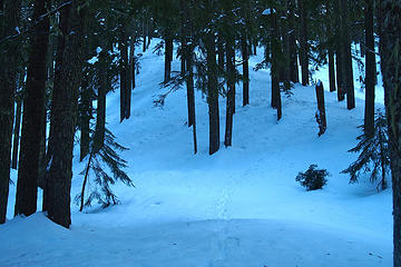 My route along a spine c3.6mi,4675ft 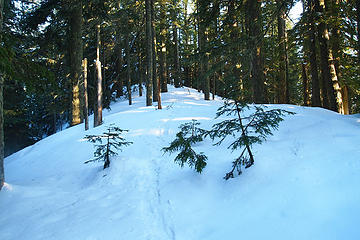 Looking back on my route atop the Alki Crest just before descending to the drainage c3.8mi,4943ft 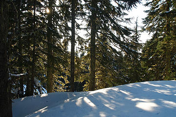 Heading back along the Alki Crest 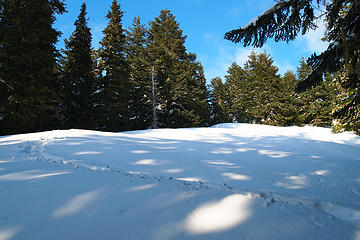 Looking back on my route .3mi,300ft from summit 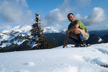 Me on the false summit with Mr Rainier c4.61mi,5511ft 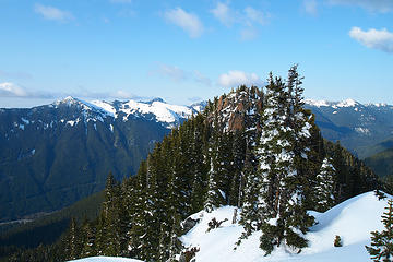 True summit only .15mi away,20ft higher.Let's go! 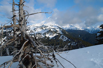 Snag trees guarding the summit with Mt Rainier 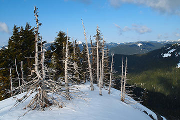 Cool snags atop the true summit 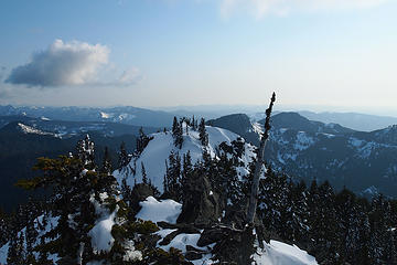 Looking back on the false summit 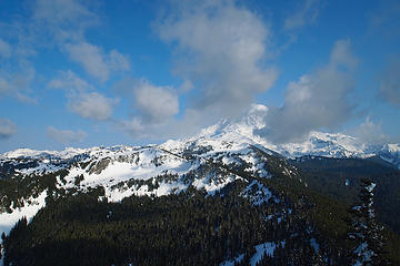 FlorencePeak-110422 - 18 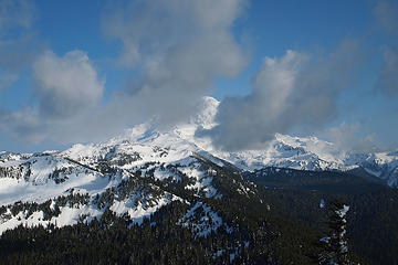 Oh my I wish I could stay for sunset 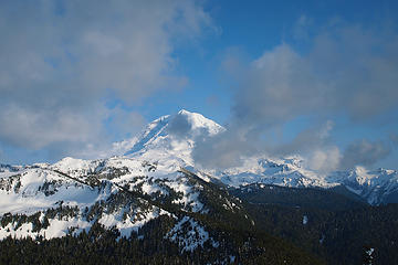 Mt Rainier from true summit 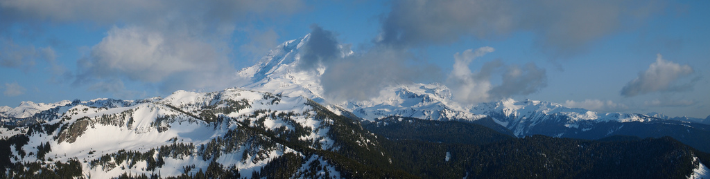 FlorencePeak-110422 - 050 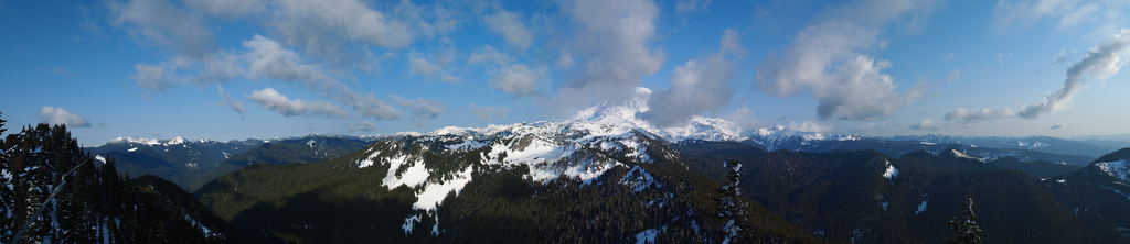 FlorencePeak-110422 - 051 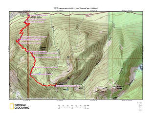 FlorencePeak-110422
|


 Nice pics and description.