| Previous :: Next Topic |
| Author |
Message |
Bloated Chipmunk
Cock Rock Searcher


Joined: 29 Jan 2007
Posts: 2993 | TRs | Pics
Location: Margaritaville |
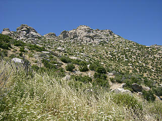
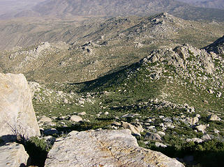
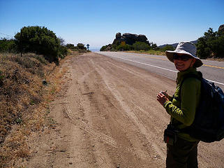
With higher temps forecasted in the lowlands, MM & I opted for a peak perched at the high western edge of the vast A-B desert, San Ysidro Pk. We managed to have plenty of sunshine, minimal wind (for the most part!), yet still stay in the double digits.   Embarking from S22 from just before it drops down into Culp Valley, we set off on foot along animal trails that eventually fizzled around the time we passed Chimney Rock. Meanwhile we had an awesome view eastward to the valley roasting in triple digits.
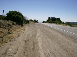 Parking area 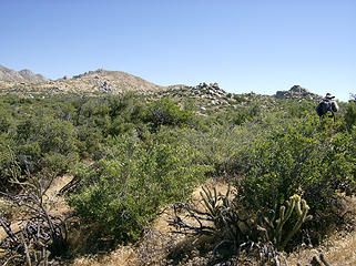 The bushwhacking begins... 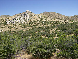 Hills ahead 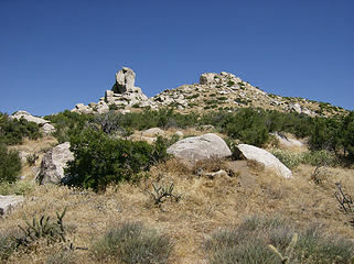 Chimney Rock 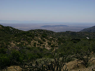 Views open up to the desert floor 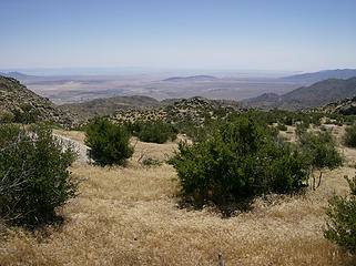 Nice valley view 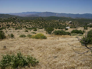 Easy walking here  For more reasons than one, going over the top or east side is preferable. For more reasons than one, going over the top or east side is preferable. 
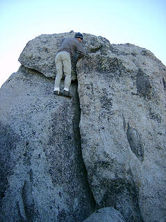
 1st glimpse of The Thimble & San Ysidro 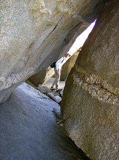 I see you! 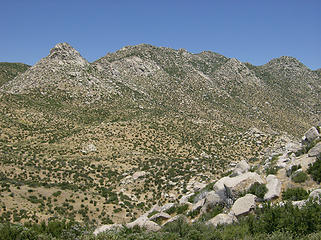 The Thimble, San Ysidro Mtn. 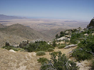 Getting higher... 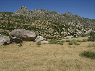 Flat grassy area between The Thimble & Pt. 5326' 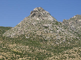 The Thimble 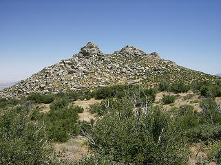 For Scrooge...;-) 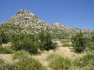 Getting a little brushier 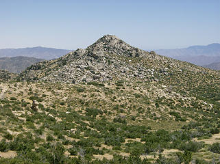 Looking back on Pt. 5326'  in order to reach the saddle just before the final summit climb. in order to reach the saddle just before the final summit climb.
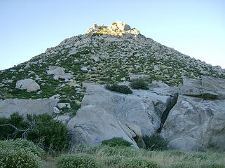
 The summit? Nope. 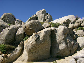 South summit rocks 
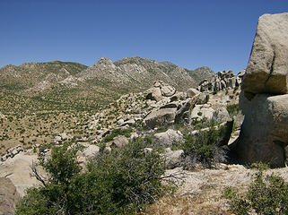
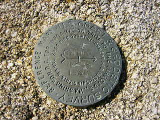 Survey marker....even though a point to the north looked a bit higher... 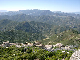 Views from the top 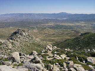 The Thimble & the valley beyond 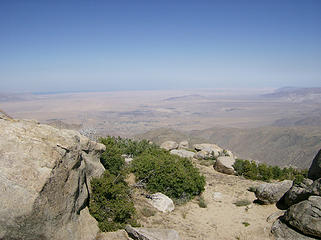 View east to the A-B valley 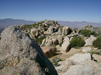 Hmmm...looks higher 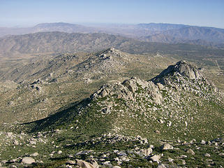 5 labels Pt. 5326', The Thimble, & beyond 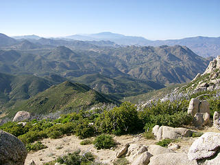 Mmmm, lots of mtns. 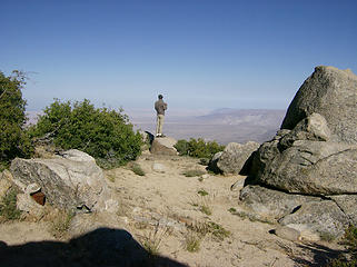 MM takes in the view 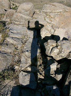 My shadow 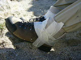 Makeshift gaiters 
 Thinking about trying to get up what appeared to be the true summit (north) 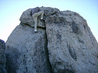 Big stretch! Maybe not. 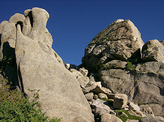 Mini gully @ the middle summit 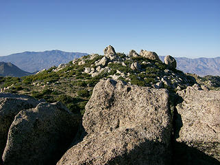 Yep, I think that was higher 
 Not this way 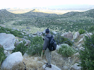 Heading down  Once in the valley we enjoyed a view back toward San Ysidro & The Thimble, which didn't look quite as impressive from this side. Once in the valley we enjoyed a view back toward San Ysidro & The Thimble, which didn't look quite as impressive from this side. 
 The Thimble as viewed from the west 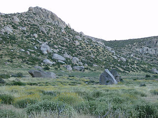 Nice lil' valley w/big rocks 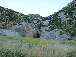 Last sun on Ysidro 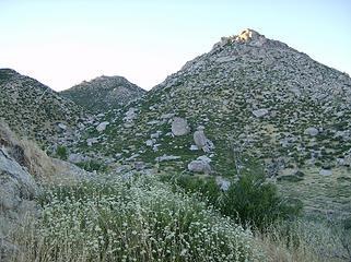 The Thimble w/a touch of light, San Ysidro behind 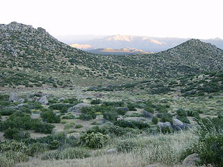 2 labels Our plan is to pop over that saddle & hope we don't wind up on someone's private property ;-) 
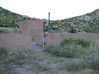 WTF? 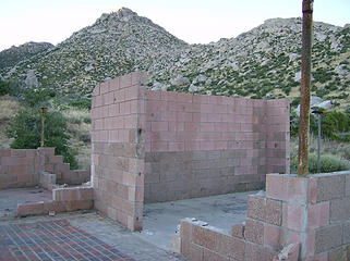 Mysterious...
Home is where the hiking is.
"Peaks that have come and gone four times should halt a man in his steps." -- William O. Douglas
A balanced diet is a margarita in each hand.
Home is where the hiking is.
"Peaks that have come and gone four times should halt a man in his steps." -- William O. Douglas
A balanced diet is a margarita in each hand.
|
| Back to top |
  
|
|
MountainMan
Member

Joined: 15 Jul 2008
Posts: 365 | TRs | Pics
Location: San Diego |
It seems we took the harder, but more scenic way to San Ysidro!
 TH 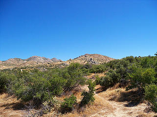 San Ysidro in the distance. 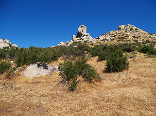 Chimney Rock 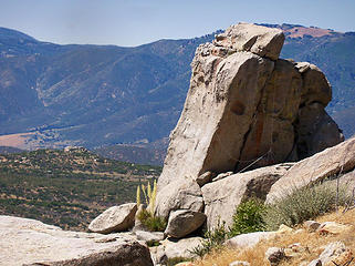 Chimney Rock 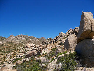 San Ysidro and Thimble on left. 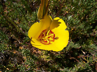 Nice yellow flower. 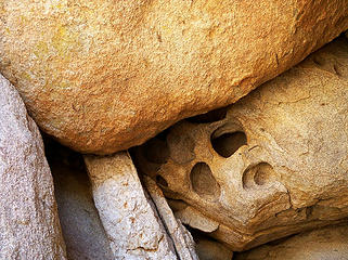 Carved rock 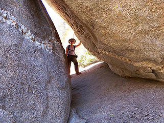 BC between two big rocks. 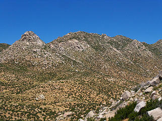 The Thimble (left) and San Ysidro (middle). 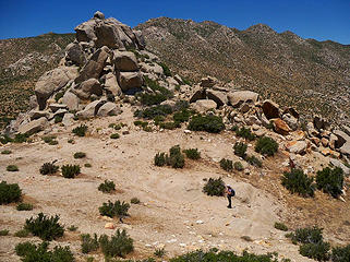 Just below point 5326. 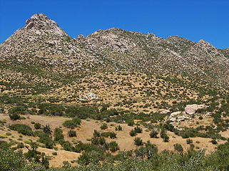 Getting closer 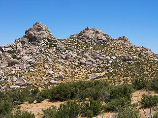 Looking back at Pt 5326. 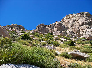 Heading up 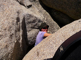 BC in the rocks. 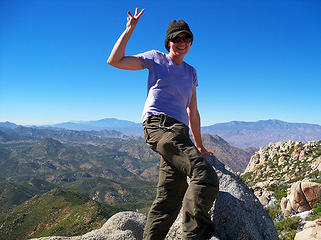 BC on top! 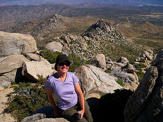 BC with the Thimble and Pt. 5326 behind. 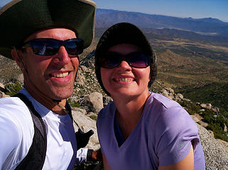 Us on top. 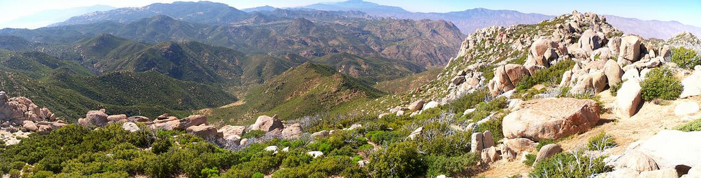 Looking NW (north summit on right). 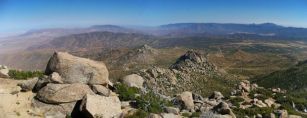 View south. 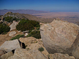 View NE with Borrego Springs below. 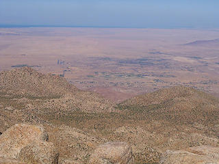 Borrego Springs. 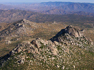 The Thimble (right). Point 5326 (left). 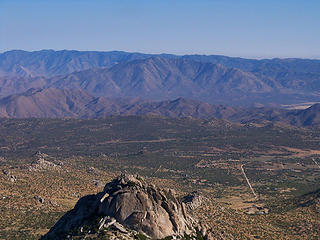 Granite Mtn. 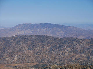 Whale Peak 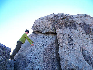 North summit - close, but no Nixon pose. 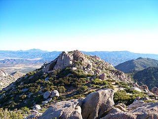 Looking south from north end of S.Y. 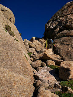 Reaching middle summit. 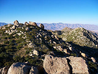 North summit from middle summit. 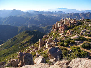 View west. 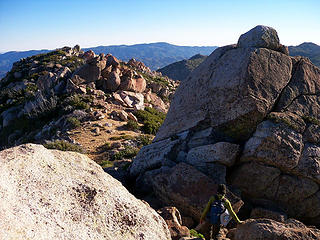 South summit from middle. 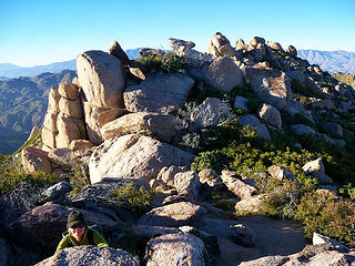 Middle summit and fun rocks we climbed over. 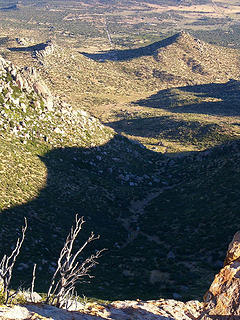 Exit plan: Head down that wash, over the saddle to the road and out to the highway. 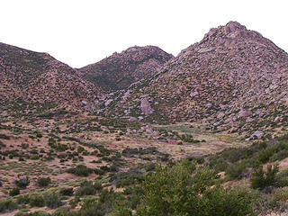 Looking back at San Ysidro and the Thimble.
Slow down, take notice, savor the moment, appreciate the world around you and everything that you have.
Slow down, take notice, savor the moment, appreciate the world around you and everything that you have.
|
| Back to top |
|
|
|
|
You cannot post new topics in this forum
You cannot reply to topics in this forum
You cannot edit your posts in this forum
You cannot delete your posts in this forum
You cannot vote in polls in this forum
|
Disclosure: As an Amazon Associate NWHikers.net earns from qualifying purchases when you use our link(s). |


