mtn.climber
Member


Joined: 29 Jul 2008
Posts: 1204 | TRs | Pics
Location: The Lost Horizon |
Kim (atop Mastiff): Do you want to knock off Howard, too?
Dave: I really don't want to come back the way we went up.
Kim: We'll go down via Lake Crescent
Dave: Okay, let's do it.
Our adventure started a few hours earlier, at the Merritt lake trailhead. We started up the trail at 8:20, and ran into continuous snow a couple miles up the trail at 4500' elevation. Kim had entered waypoints into her GPS for the entire hike, so we reached the lake shortly after with no problems.
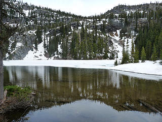 Merritt lake 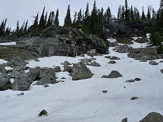 Climb above Merritt 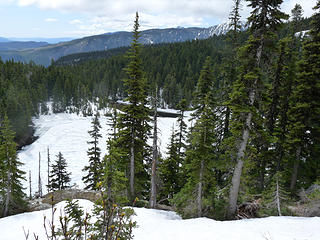 Merritt lake 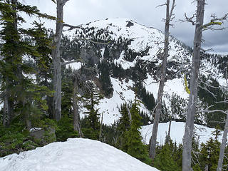 First view of Lost lake & Mastiff 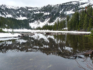 Lost lake reflection 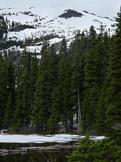 Lost lake & Mastiff 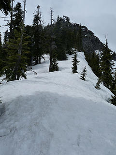 Mastiff ridge 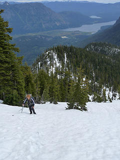 View from Mastiff ridge 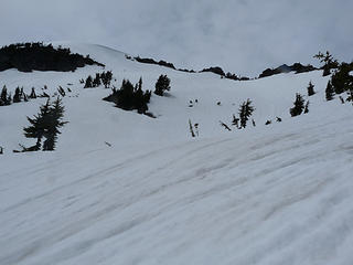 Mastiff summit 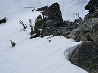 Mastiff summit 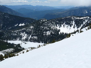 Lost lake from high on Mastiff 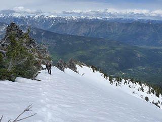 Climbing higher 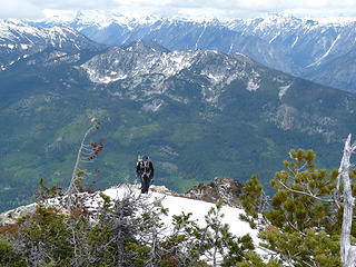 Kim arrives at Mastiff summit 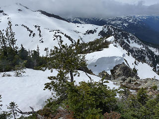 Howard from Mastiff 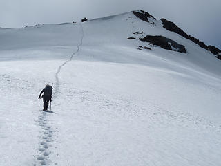 Stairmaster to Howard summit 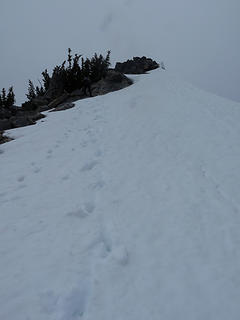 Nearing Howard summit 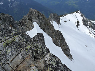 Howard summit view 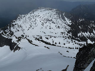 Mastiff from Howard 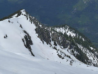 Howard summit view 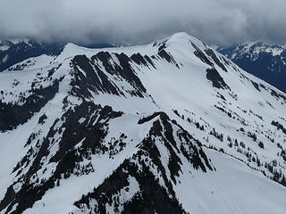 Rock mountain 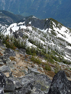 Howard summit view 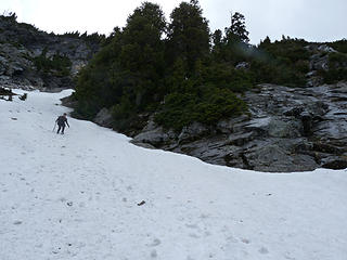 Kim on the snow ramp 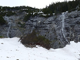 Couldn't go down here 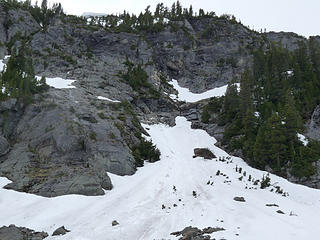 Snow ramp that led us to safety 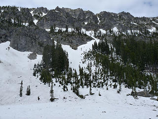 Lots of cliffs 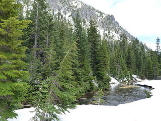 Royal creek  Well deserved dinner spot
Reach for the sky, cuz tomorrow may never come.
Live the life of love. Love the life you live.
Reach for the sky, cuz tomorrow may never come.
Live the life of love. Love the life you live.
|


 It was a beautiful bowl probably few people visit.
