| Previous :: Next Topic |
| Author |
Message |
wildernessed
viewbagger


Joined: 31 Oct 2004
Posts: 9275 | TRs | Pics
Location: Wenatchee |
Location : Twisp / Winthrop Area
Maps : GTM : Loup Loup, Doe, and Tiffany. Wa. Gazetteer
South Twenty Mile Peak 6670' hike, 5 mi, 850' r/t
First Butte Lookout 5491' drive up (road open and snow free to the summit)
Starvation 6772' drive up (road open snow free to the summit)
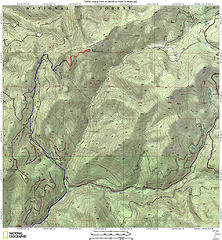 South Twenty Mile Peak 6670'  Reynolds 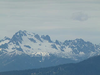 Silver Star 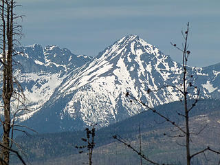 Big Craggy 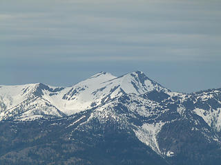 Sunrise 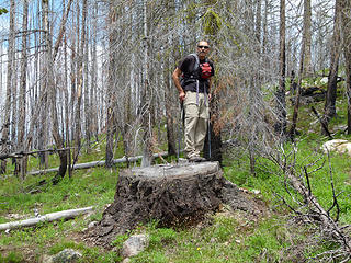 Steve on top of a big stump. 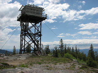 First Butte Lookout 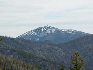 Old Baldy 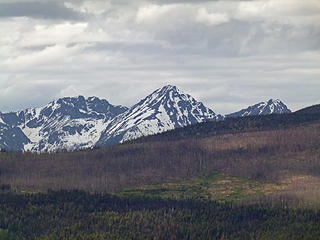 Big Craggy, West Craggy, and Eightmile Peaks 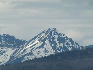 Big Craggy 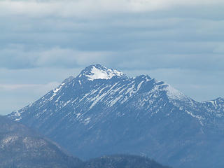 Remmel 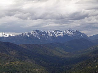 Isabella Ridge 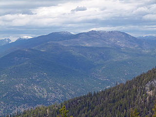 Doe, Ike, Farewell with Billy Goat Pass to the left. 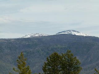 Tiffany 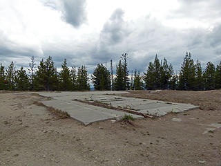 Summit area of Starvation. Helipad, weather station, and TH to places North. 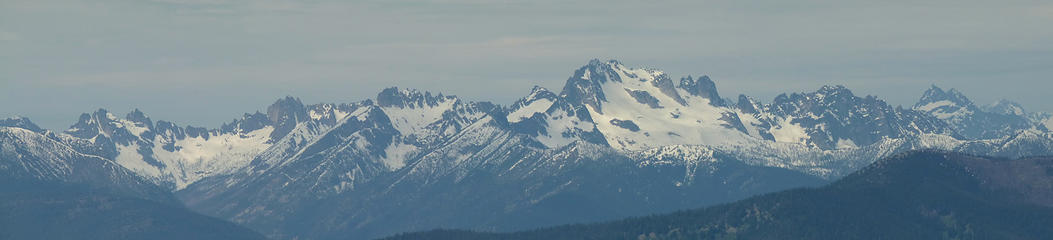 Cedar Creek Drainage - Kangaroo Ridge - Snagtooth Ridge - Silver Star - Vasiliki Ridge etc... 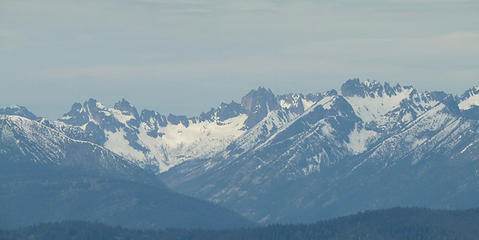 Cedar Creek Drainage 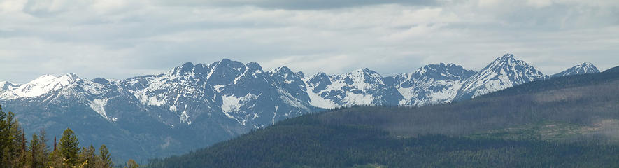 Isabella Ridge and Big Craggy 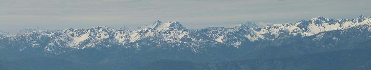 Looking Southwest at the Sawtooths from South Twenty Mile 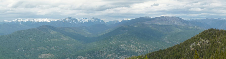 Looking up Falls Creek Drainage with Doe-Ike-Farewll to the right and Billy Goat Pass in the distance  Looking West from Starvation 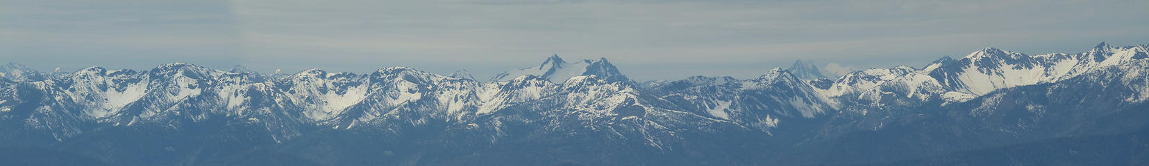 Sawtooths from South Twenty Mile Peak 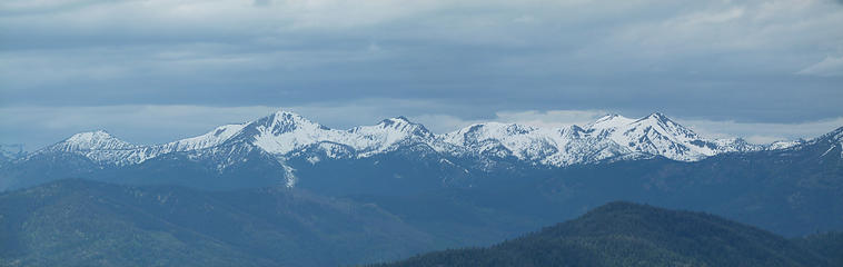 Sunset - McLeod - Sunrise 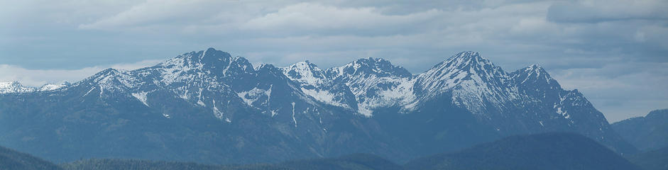 Uniques view of Isabella Ridge Big Craggy and West Craggy from First Butte 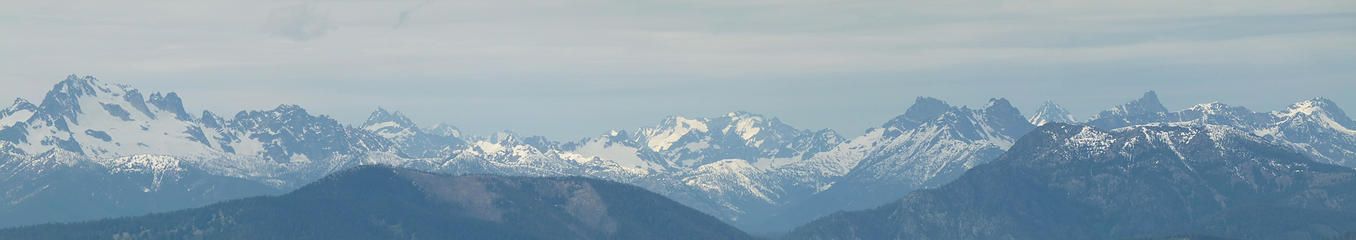 West from South Twenty Mile
Living in the Anthropocene
Living in the Anthropocene
|
| Back to top |
  
|
|
raising3hikers
Member

Joined: 21 Sep 2007
Posts: 2344 | TRs | Pics
Location: Edmonds, Wa |
Thanks for the report. As always, nice big wide open pics
|
| Back to top |
|
|
HitTheTrail
Member

Joined: 30 Oct 2007
Posts: 5458 | TRs | Pics
Location: 509 |
You guys ever stay home? Not as much hiking as you would have liked? With all those destinations! Nice recon and set of beta photos for hiker's who follow. With that much snow on the flanks of Remmel I'll bet Andrews Creek is high. I remember how much trouble we had crossing it last summer when things were almost snow free.
|
| Back to top |
|
|
wildernessed
viewbagger
Joined: 31 Oct 2004
Posts: 9275 | TRs | Pics
Location: Wenatchee |
Yeah, Andrews Creek would be a real show stopper right now, every creek and river we passed or crossed was full and flowing fast, but this should be the year for Cathedral, Amphitheater, and Apex as well as some of those other big guys and lakes back there.
Living in the Anthropocene
Living in the Anthropocene
|
| Back to top |
|
|
|
|
You cannot post new topics in this forum
You cannot reply to topics in this forum
You cannot edit your posts in this forum
You cannot delete your posts in this forum
You cannot vote in polls in this forum
|
Disclosure: As an Amazon Associate NWHikers.net earns from qualifying purchases when you use our link(s). |


