Matt
Tea, Earl Grey, Hot


Joined: 30 Jan 2007
Posts: 4307 | TRs | Pics
Location: Shoreline |
|
Matt
Tea, Earl Grey, Hot
|
 Fri Aug 26, 2011 9:09 am |
|
|
Dates: August 20-21, 2011
Destination: Summit Chief via Pete Lake, PCT & Vista Lakes
Party: Martin Shetter, Dave Creeden, cartman, Matt
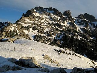 En route to Summit Chief 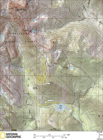 Summit Chief Map  Faster method for avoiding the long PCT switchbacks 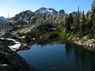 Upper Vista Tarn and a first glimpse of Summit Chief 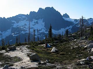 Campsite & Chimney Rock 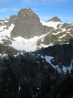 4000-foot relief from summits to valley 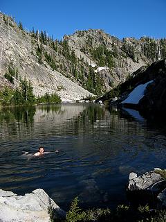 Another refreshing swim in upper Vista Tarn 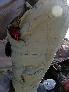 Mosquitos 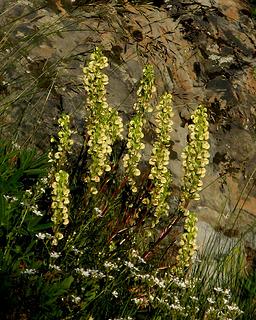 Flowers on the path up to the col 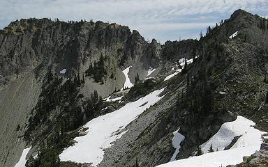 Escondito Point (route goes from col at right, over point at right, behind col in middle, and up to summit at left) 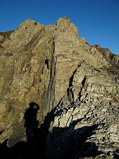 The rocky crest to the 6060 corner 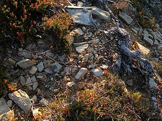 Wire marker on the summit 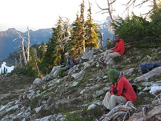 Escondito Point wardrobe: tan pants, red jacket, bug net helmet 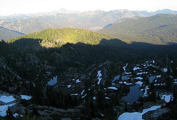 Escondito Tarns in shadow of Escondito Point 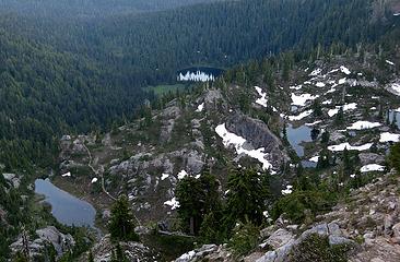 Escondito Lake, tarns & PCT 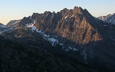 Bears Breast 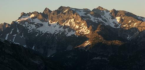 Daniel - Go to the 5700-foot col above camp.
- Follow the crest NW nearly over Point 5965 to the next 5700-foot col (above Summit Chief Lake).
- Traverse out into the middle of the SE bowl of Summit Chief, mainly on snow (resist the temptation to ascend until youre in the middle of the bowl with a clear path upward).
- Go up the middle of the snow to an upper snow basin.
- Go rightward up to the top of the snow basin, then curve left along its top edge (partly snow and partly wide rock ramps) to reach the highest notch in Summit Chiefs south ridge.
- Cross to the west side of the ridge, traverse north to the second shallow gully/trough, and ascend loose dirt and rock to the crest and summit.
Route-finding was easy for me just follow the tiny silhouettes of Dave & Martin kicking steps far out ahead.
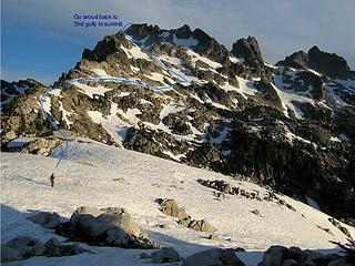 Annotated Summit Chief Route 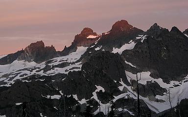 Sunrise touches Lemah summits 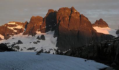 Chimney Rock sunrise 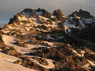 Morning light on Summit Chief, Middle Chief, & Little Big Chief 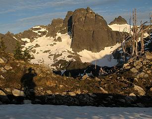 Chimney Rock from Summit Chief lower south ridge 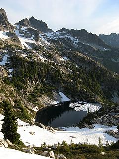 Summit Chief Lake 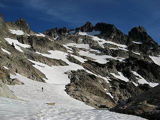 Traversing out into the basin 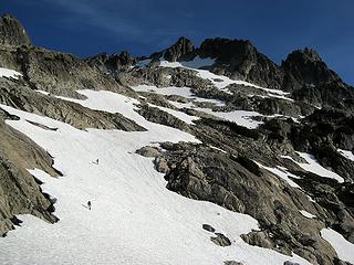 Still traversing out 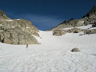 Going up from lower to upper basin 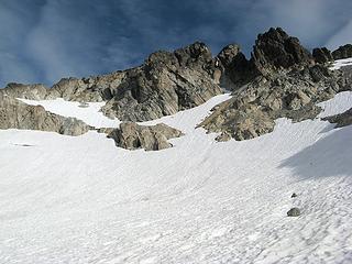 Follow the snow and rock ramp at upper left 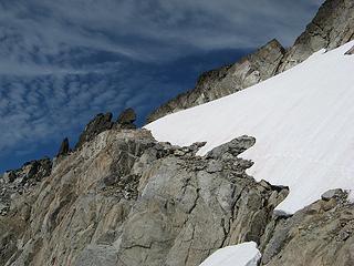 Complete the ramp to the notch 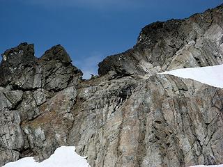 In the notch 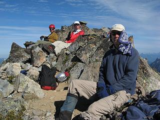 Summit Chief Summit group 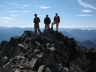 Backlit summit group 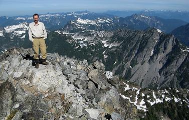 Me atop Summit Chief 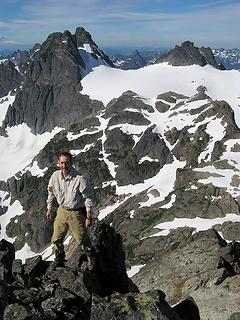 Posing in front of Chimney Rock 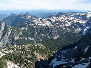 Peaks west of Williams Lake 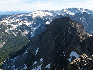 Peaks east of Williams Lake 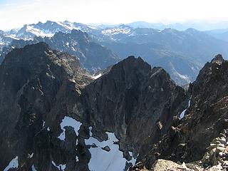 Steep crest of Summit Chief, with Bears Breast & Daniel 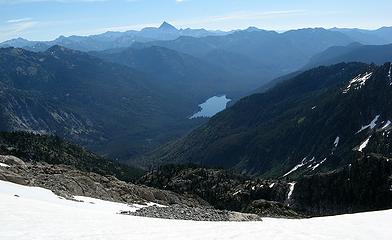 Waptus Lake & Stuart 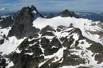 Chimney Rock & Overcoat, framing Thompson 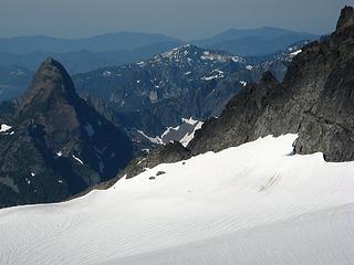 Stefan & Greg retreating from the south side of Overcoat 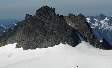 Stefan & Greg starting up the northeast snow finger of Overcoat 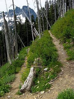 PCT switchback 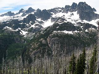 Lemah & Chimney crest 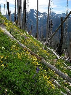 Hillside flowers 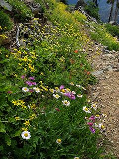 Flowers along the trail 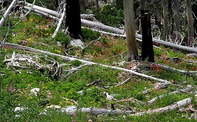 Flowers amid the burned trees
As beacons mountains burned at evening. J.R.R. Tolkien
As beacons mountains burned at evening. J.R.R. Tolkien
|


