| Previous :: Next Topic |
| Author |
Message |
Josh Journey
a.k.a Josh Lewis

Joined: 01 Nov 2007
Posts: 4836 | TRs | Pics
|
 "All good things come by grace. And grace comes by art, and art does not come easy." -A River Runs Through It
This trip took place between August 4th and August 7th of 2011.
It had been a long time since Gimpilator and I went on a climb together. We were invited to climb Fortress and Chiwawa Mountain with some folks from nwhikers, but before that we wanted to climb Ruth Mountain. Fortunately we got more than we bargained for with great success.
On August 3rd Art drove us to Mount Vernon to meet up with Joe for the climb. The night before the trip we negotiated the gear supply of what to carry and figuring out the route. After spending over 100$ during the month of July on my mountaineering trips I was low on cash and had to go on cheap food like donuts, peanut butter sandwiches, and other goodies.
Day 1: A Beautiful Day on Ruth Mountain
We left for the trailhead at about 4:30 a.m. early in the morning and got to the trailhead around 6:30 a.m. It was a beautiful clear day, with conditions 100% in our favor. The hike started out down in the valley nice and cool but with high humidity.
"All good things come by grace. And grace comes by art, and art does not come easy." -A River Runs Through It
This trip took place between August 4th and August 7th of 2011.
It had been a long time since Gimpilator and I went on a climb together. We were invited to climb Fortress and Chiwawa Mountain with some folks from nwhikers, but before that we wanted to climb Ruth Mountain. Fortunately we got more than we bargained for with great success.
On August 3rd Art drove us to Mount Vernon to meet up with Joe for the climb. The night before the trip we negotiated the gear supply of what to carry and figuring out the route. After spending over 100$ during the month of July on my mountaineering trips I was low on cash and had to go on cheap food like donuts, peanut butter sandwiches, and other goodies.
Day 1: A Beautiful Day on Ruth Mountain
We left for the trailhead at about 4:30 a.m. early in the morning and got to the trailhead around 6:30 a.m. It was a beautiful clear day, with conditions 100% in our favor. The hike started out down in the valley nice and cool but with high humidity.
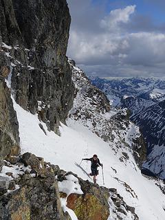
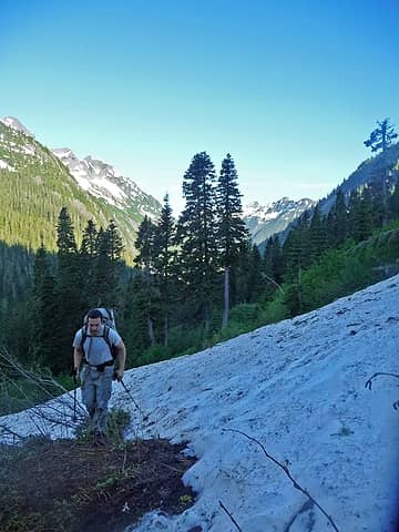 Gimpilator Hiking 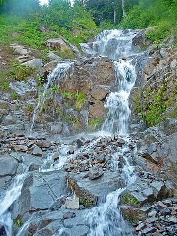 Stream Above 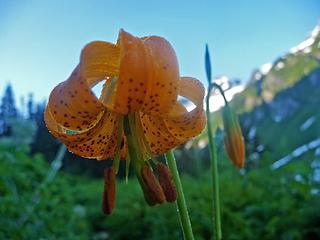 Wet Tiger Lillie 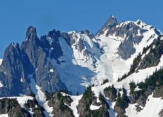 Mount Shuksan's North Face 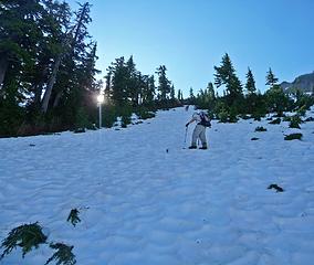 Hiking up on the Lower Edge of Ruth Mountain 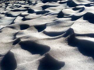 Snow Patterns 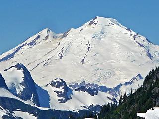 Mount Baker's East Face 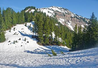 Hannegan Peak 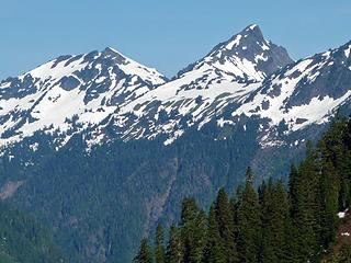 Goat Peak 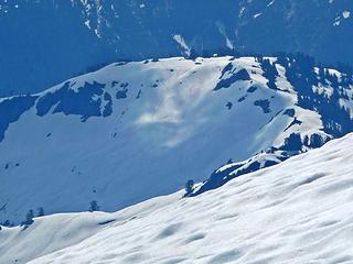 Neat Lighting near By  Tomyhoi Peak 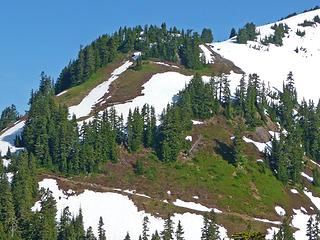 Hannegan Peak Trail 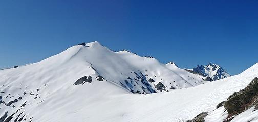 Ruth Mountain with Mount Shuksan 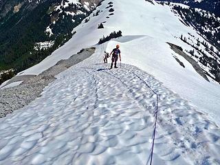 Climbing up the Ridge 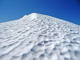 The Summit Ridge 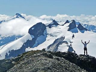 Excited to Reach the Summit 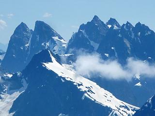 The Picket Range 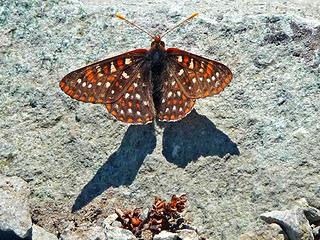 Butterfly on the Summit 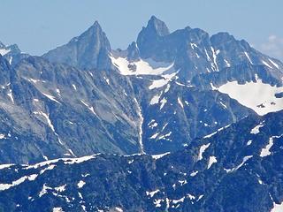 Mox Spires to the North 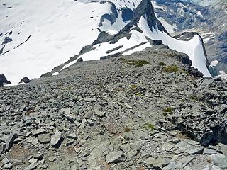 Looking Down towards Icy 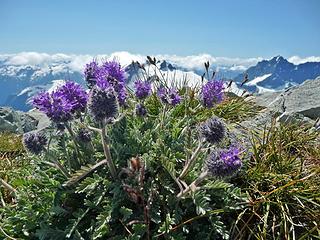 Silky Phacelia on the Summit 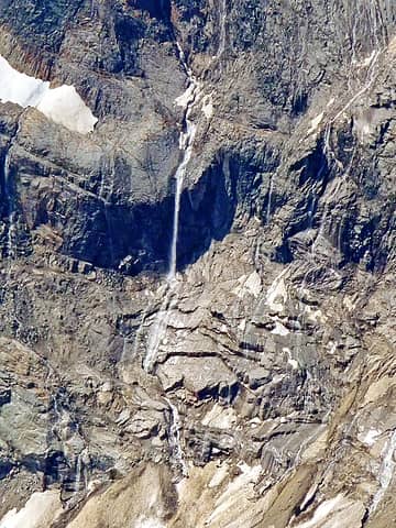 Waterfalls off Mount Shuksan  Crevasses on the Nooksack Glacier 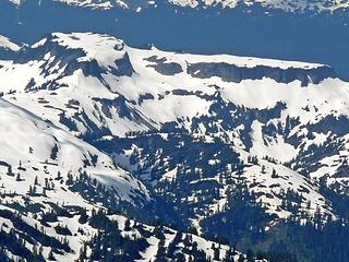 Table Mountain 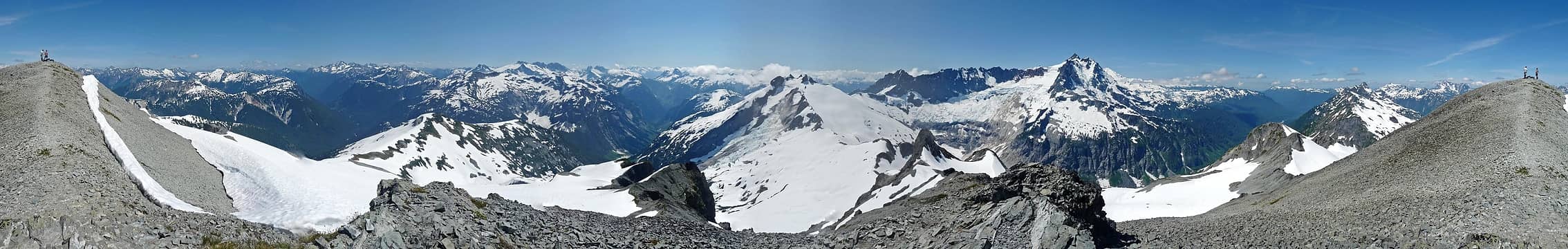 Summit Panorama 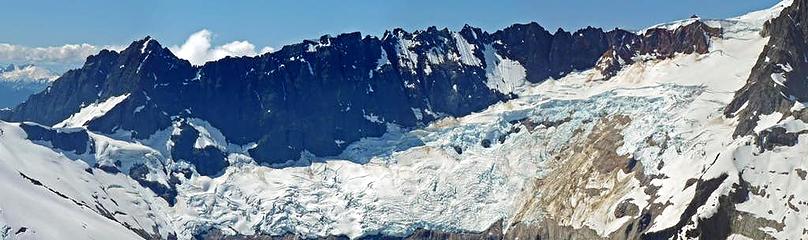 Nooksack Glacier Panorama 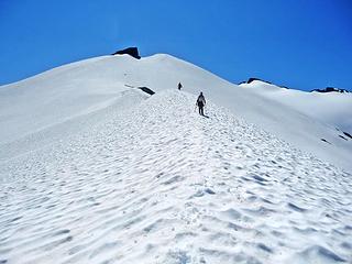 Heading Down Ruth Mountain 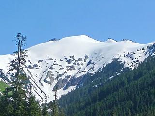 Ruth Mountain from Below 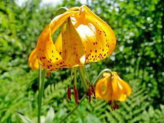 Shiny Tiger Lillies 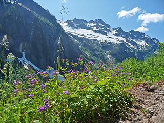 Sefrit with Flowers 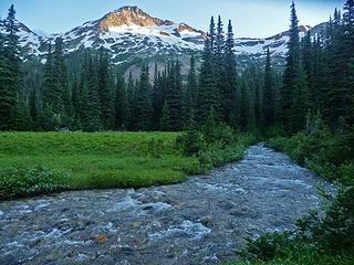 Chiwawa Mountain from the Meadows 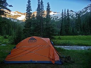 Camping in the Meadows 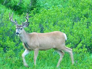 Deer Walking in the Meadows 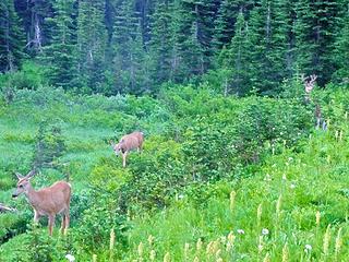 Deer on the Move 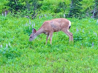 Enjoying the Food Here 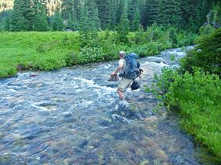 GeoTom Crossing the Creek 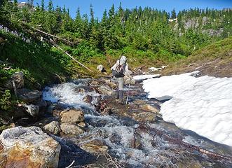 Crossing another Creek 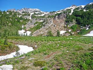 Fortress Meadows 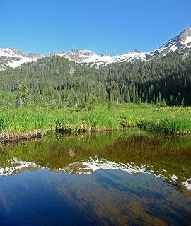 Fortress Mountain Reflection 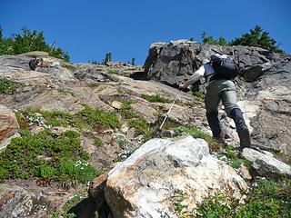 Ascending up towards the gully 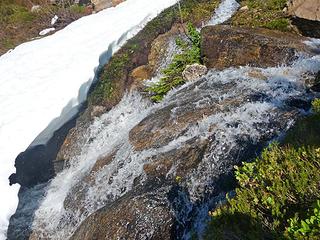 Another Creek Crossing 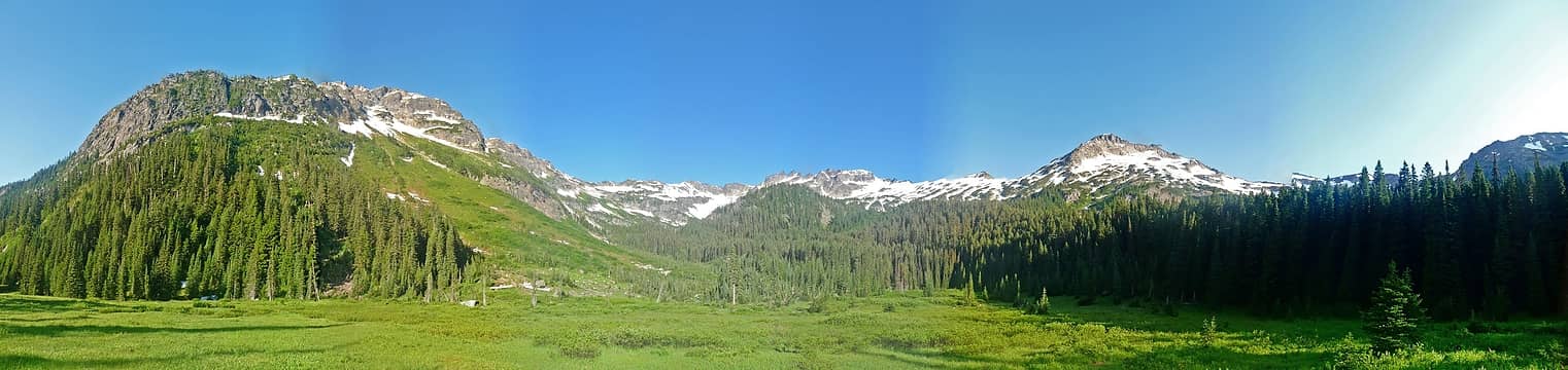 Fortress Meadows 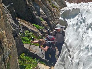 In the Moat 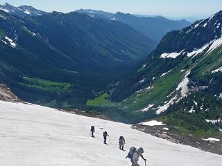 Hiking Up Fortress Mountain  Gimpilator going onto the East Ridge 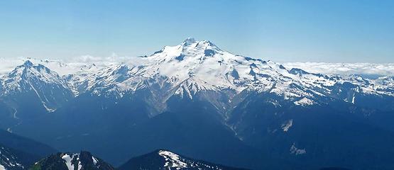 Glacier Peak from Fortress 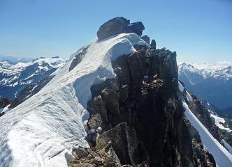 Climbing to the Summit of Fortress 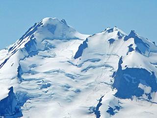 Summit of Glacier Peak 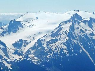 Kolos Peaks 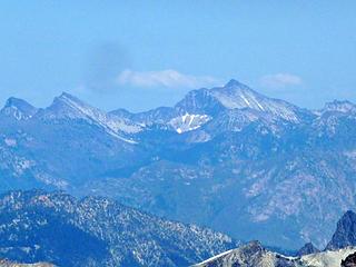 Peaks to the East 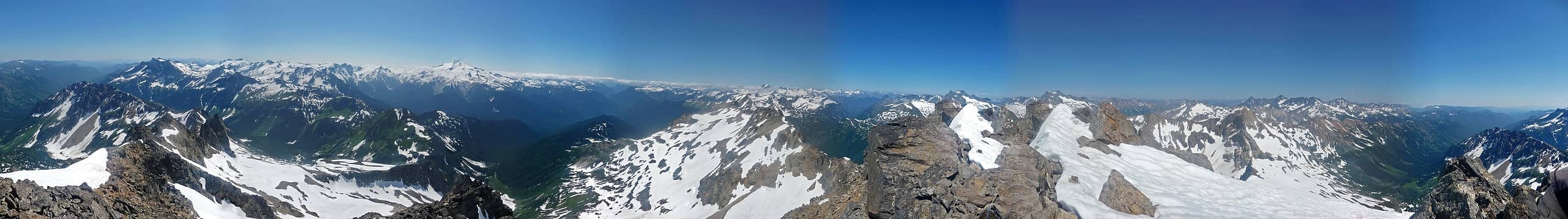 Summit 360 View 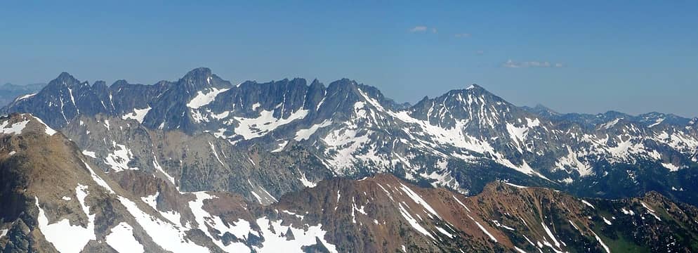 Copper, Fernow, Seven Fingered, and Maude 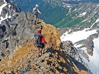 Walking along the Ridge 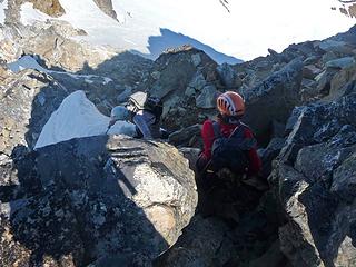 Down Climbing 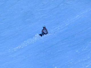 Gimpilator Glissading Down 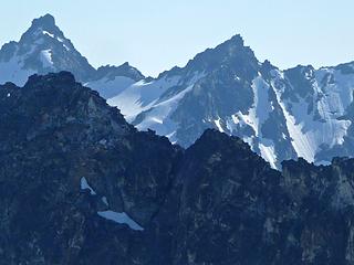 Peaks to the South 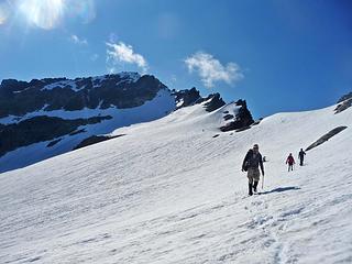 Heading Down Fortress Mountain 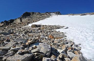 Taken just before the Incident 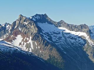 Bonanza Peak 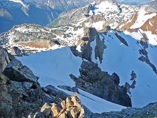 Looking Down North 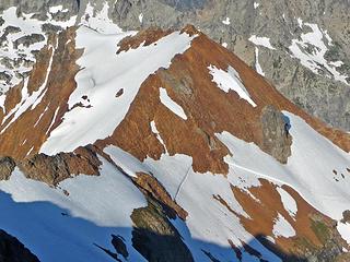 Phelps Ridge Below 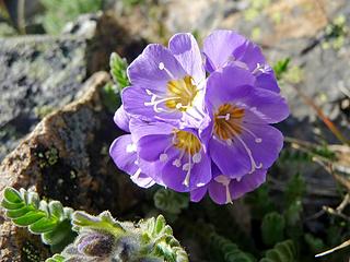 Purple Flower on the Summit 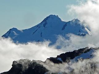 Glacier Peak with Clouds 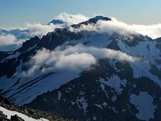 Fortress Mountain with Clouds 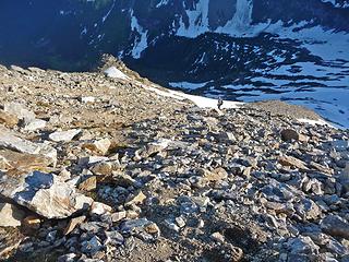 Looking Down Chiwawa 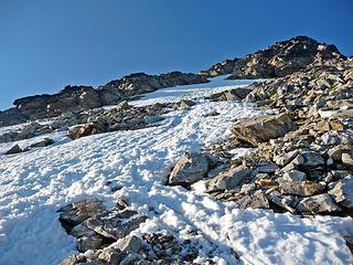 The Upper Slope 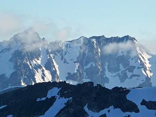 Mountain to the South 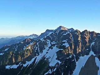 Looking Towards Buck Mountain 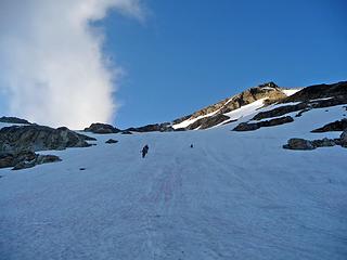 Heading Down Chiwawa 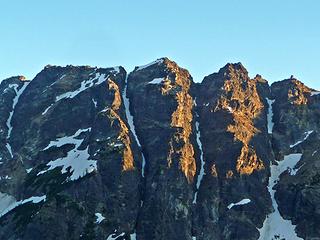 Alpenglow on the Ridge 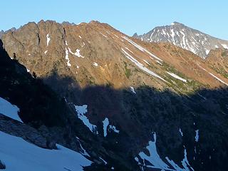 Red Mountain with Maude 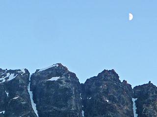 The Moon Above the Ridge 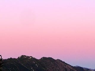 Pink Sky from Fortress 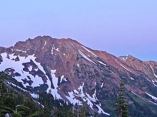 Red Mountain during Evening 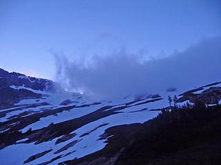 Clouds Coming over 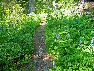 The Trail to Red Mountain 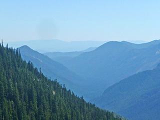 Blue Ridges to the South 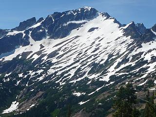 Fortress Mountain 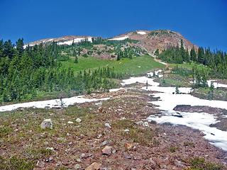 The Route up Red Mountain 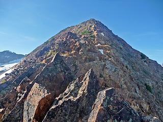 Red Mountain's Summit Ridge 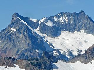 Bonanza Peak 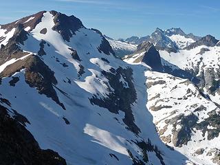 Phelps Ridge, Bonanza, and Dumbell Mountain 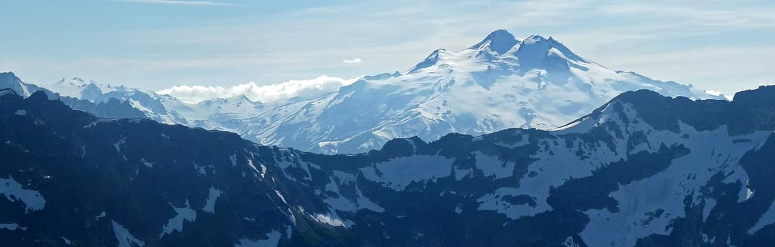 Glacier Peak Panorama 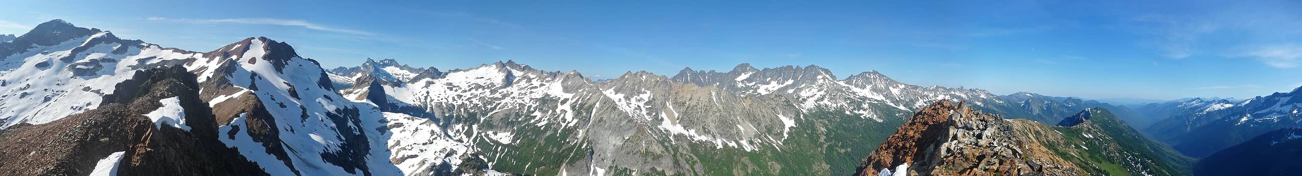 Red Mountain Panorama 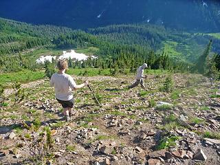 Heading Down 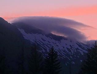 Sunset from the Valley 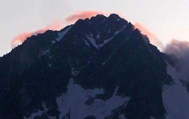 Sunset on Buck Mountain
|
| Back to top |
  
|
|
iron
Member

Joined: 10 Aug 2008
Posts: 6392 | TRs | Pics
Location: southeast kootenays |
|
iron
Member
|
 Thu Sep 22, 2011 9:43 pm |
|
|
great pics josh. glad everyone made it without more serious injuries. sounds like you had quite the summer of peakbagging.
|
| Back to top |
|
|
Josh Journey
a.k.a Josh Lewis
Joined: 01 Nov 2007
Posts: 4836 | TRs | Pics
|
Thanks Iron! Yes, many great climbs this year, eventually I hope to post them here on nwhikers. But as of today, I got another climb up Sahale I gotta prepare for. 
|
| Back to top |
|
|
|
|
You cannot post new topics in this forum
You cannot reply to topics in this forum
You cannot edit your posts in this forum
You cannot delete your posts in this forum
You cannot vote in polls in this forum
|
Disclosure: As an Amazon Associate NWHikers.net earns from qualifying purchases when you use our link(s). |


