iron
Member


Joined: 10 Aug 2008
Posts: 6392 | TRs | Pics
Location: southeast kootenays |
|
iron
Member
|
 Fri Jul 06, 2012 10:46 pm |
|
|
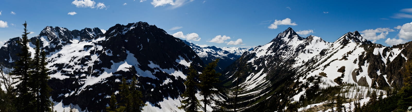 fisher creek drainage 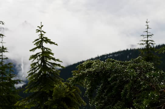 morning mist on the branch with tower looking on 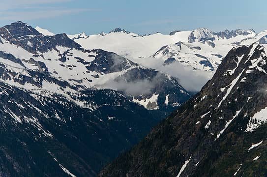 fisher creek valley looking at snowfield group 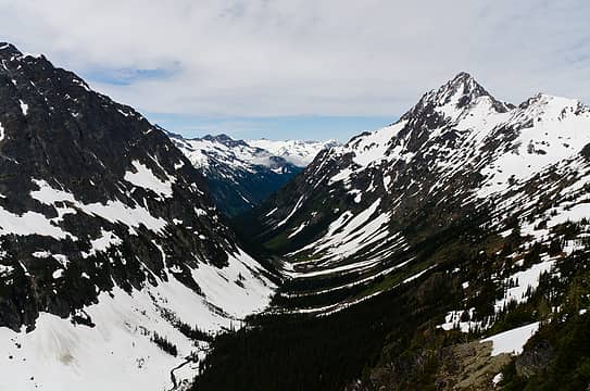 avalanche zone / tree zone 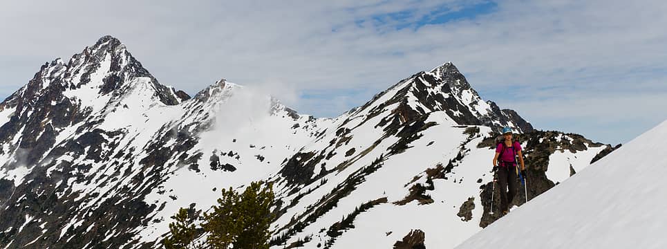 traversing above easy pass, mesahchie looking on 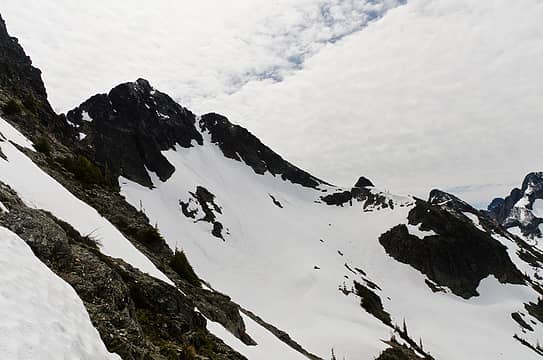 graybeard 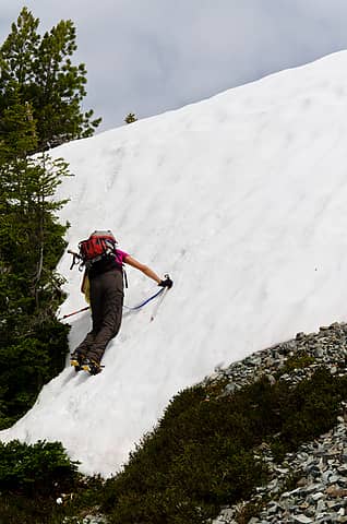 steep step 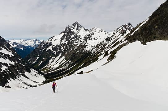 finally in some good snow 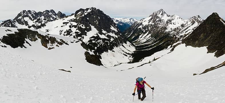 lots of cragginess in here 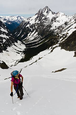 looking back 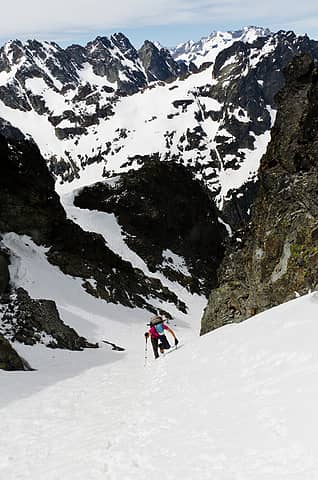 steepening up the snow finger 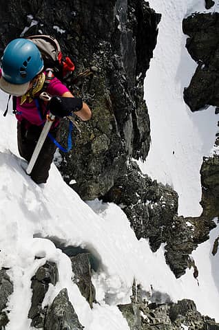 running out of snow 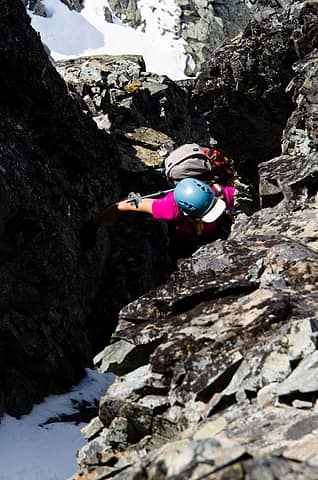 in the gully of lose death 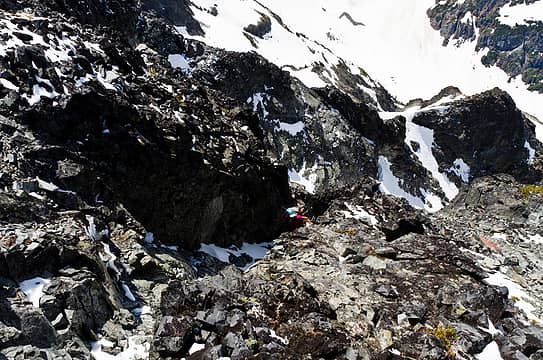 not the safest spot to hang out 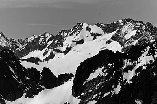 logan and douglas glacier 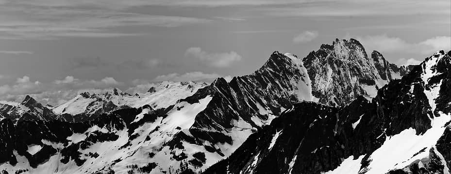 sinister, dome, and the mighty goode 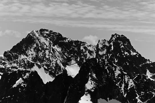 black and black west 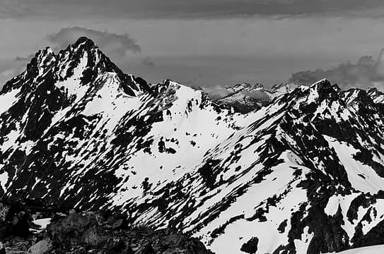 ragged ridge, easy pass, and pickets 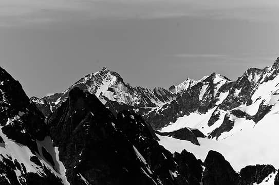 buckner, ripsaw ridge, sahale, and part of boston 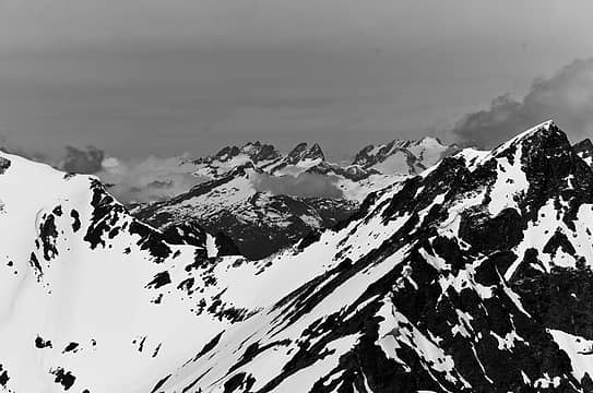 mcmillan spires 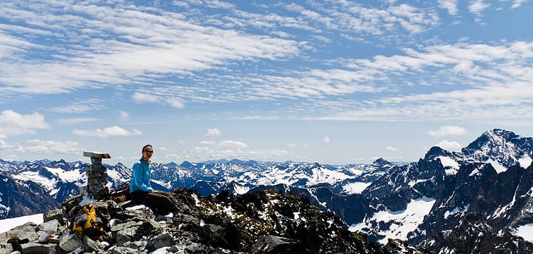 summit expanse 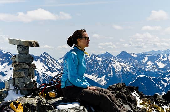 franklin's cairn 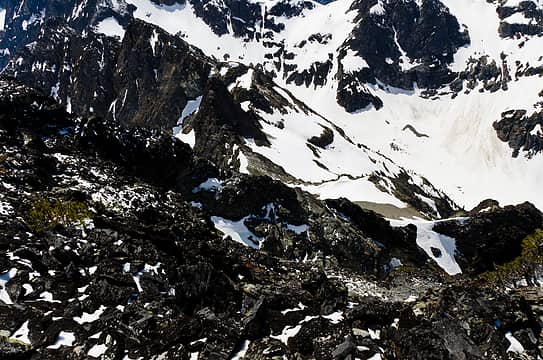 looking back down for our descent route 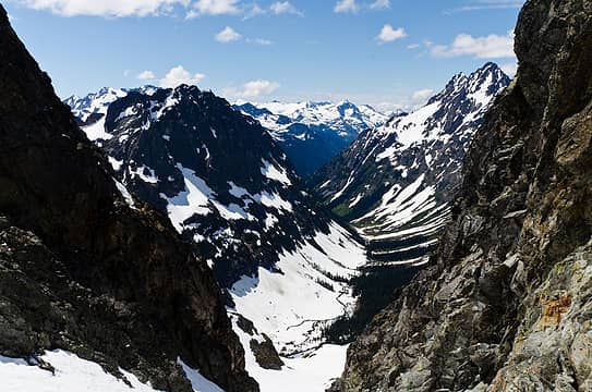 from the top of the snow finger 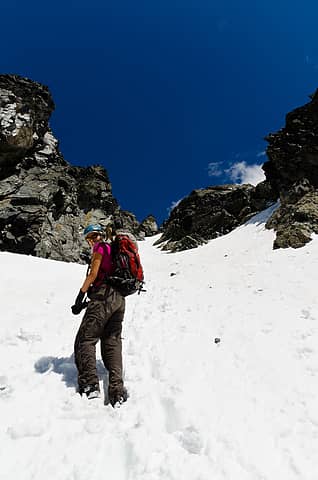 happy to be on easy terrain 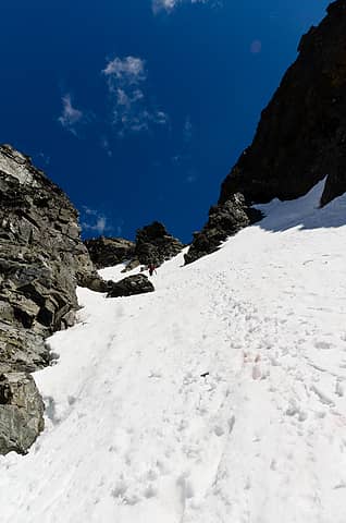 snow finger 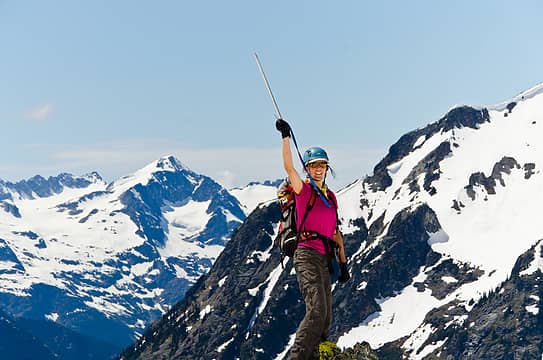 success 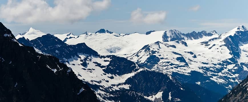 snowfield through colonial  walkin' out
|


