| Previous :: Next Topic |
| Author |
Message |
Roald
Member


Joined: 06 Aug 2007
Posts: 367 | TRs | Pics
Location: Seattle |
|
Roald
Member
|
 Tue Sep 18, 2012 11:29 am |
|
|
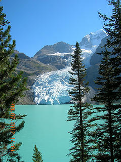 Berg Lake from trail 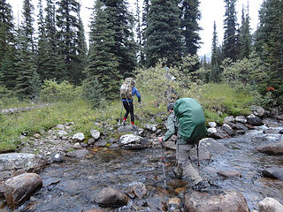 Our first river crossing - before the days of wet feet 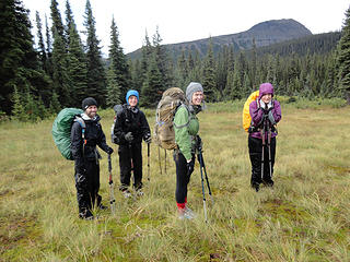 The crew ponders where to go 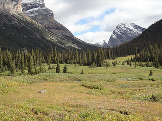 Heading toward Miette Pass 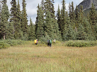 Head for the trees! It's got to be less swampy in there. 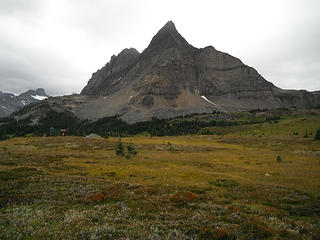 Salient Mt. - our route goes around the left shoulder 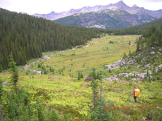 Descending Grant Pass, back into Alberta 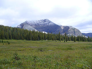 Mt. Moren 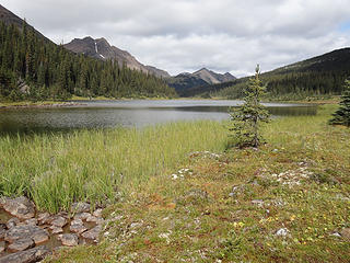 Miette Lake 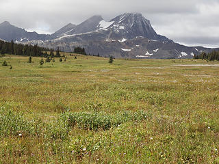 Mt. McNaughton and Miette Pass 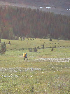 Alex heads straight for the pass 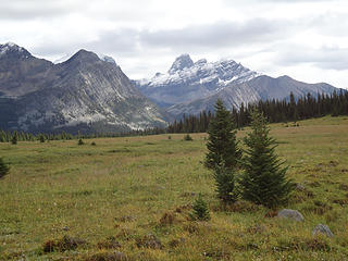 To the north of Salient Mt. from Miette/Center Pass 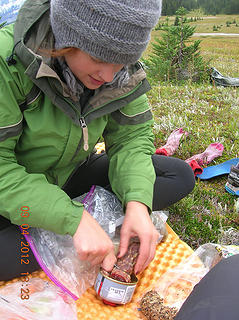 Lunch at Miette/Center Pass 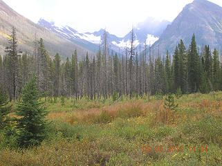 Lots of open terrain 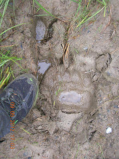 Human, bear, and moose 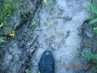 Wolf track 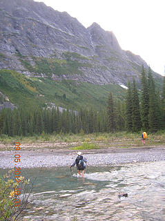 Steppe Creek crossing 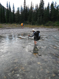 Steppe Creek crossing 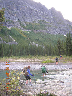 Steppe Creek crossing 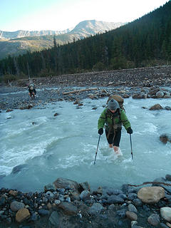 Crossing Coleman Creek 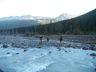 Crossing Coleman Creek 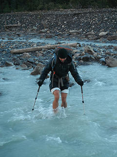 Crossing Coleman Creek 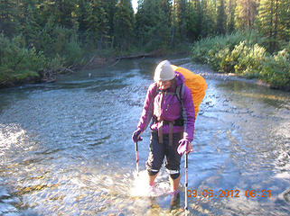 Shoe defrosting technique 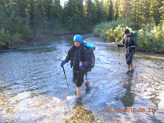 Warming up the feet - hey, it's at least 32 degrees. 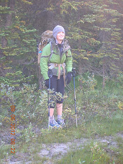 Warm from head to knee 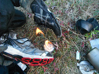 Defrosting shoes 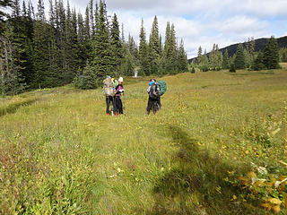 Now, where are we? 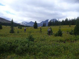 Fanning out to see if we can find a track 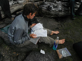 Sye pondering the route 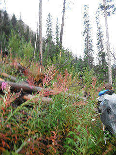 Navigating blowdown in the 1998 burn area 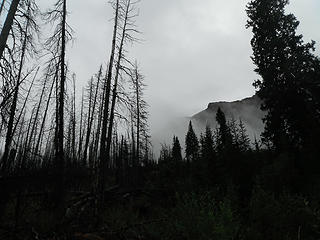 The 1998 burn created a ghost forest 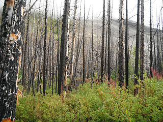 Lots of travel like this through the burn area 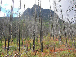 The Colonel 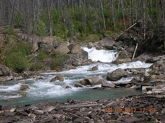 Moose River falls 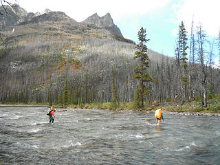 First ford of the Moose 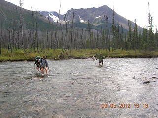 First ford of the Moose River 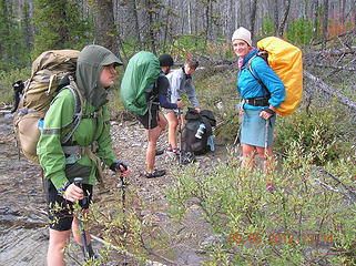 Ok, that wasn't so bad 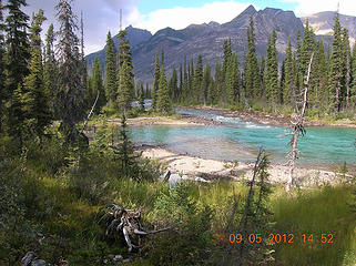 Moose River beach 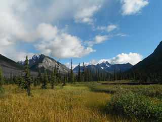 Blue sky ahead 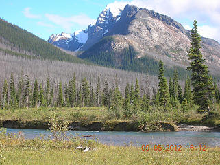 Upright Mountain and Moose River 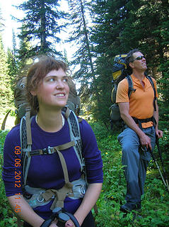 What's that bright thing in the sky? 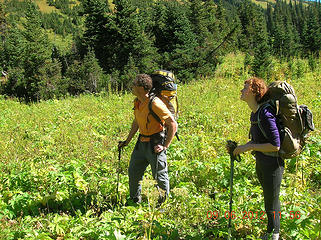 Sun basking 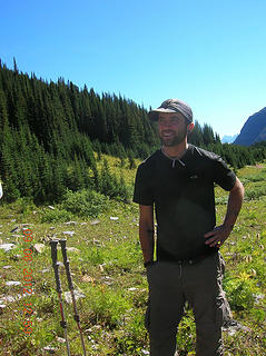 Luka looking happy 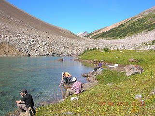 Another swimming lake 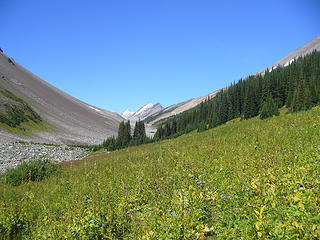 Moose Pass ahead 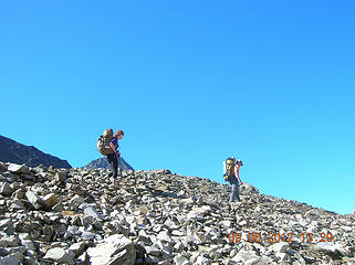 Easy walking toward Moose Pass 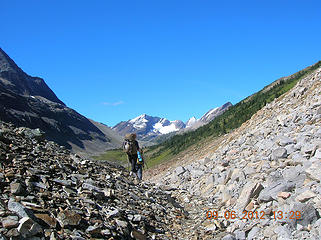 Moose Pass ahead 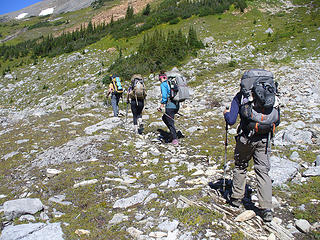 The band marches on 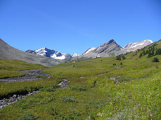 Approaching Moose Pass 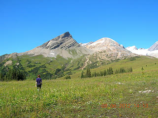 Moose Pass 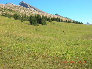 Moose Pass goes on forever 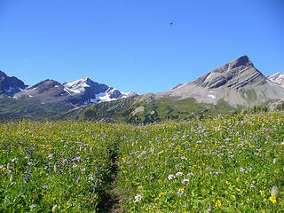 Moose Pass flowers 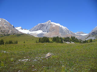 Calumet Mountain from Moose Pass 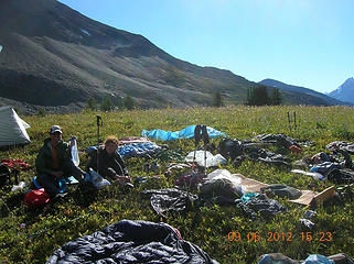 Yard sale at Moose Pass (drying out) 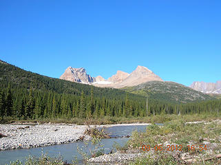 Calumet Creek 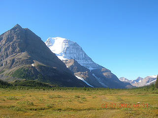 First view of Mt. Robson 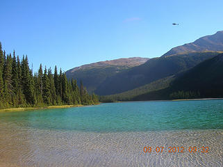 Adolphus Lake 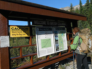 Civilization - entrance to Mt. Robson Park 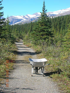 Wheelbarrow and road 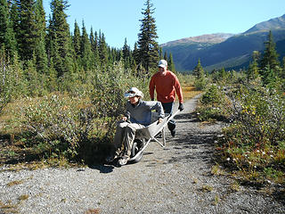 The traveling got easy 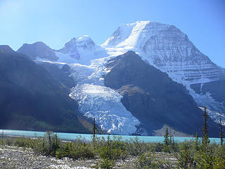 Berg Glacier and lake 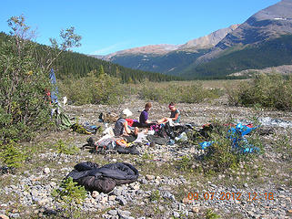 Yard sale at Berg Lake 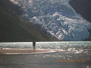 Alex at Berg Lake 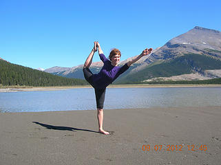 Yoga class 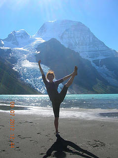 Tesha at Berg Lake  Three 2008 PCT veterans 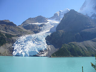 Berg Lake from trail 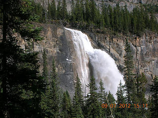 Emperor Falls 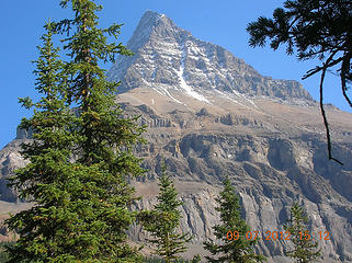 Along the Berg Lake trail 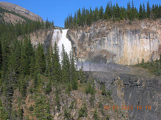 White Falls 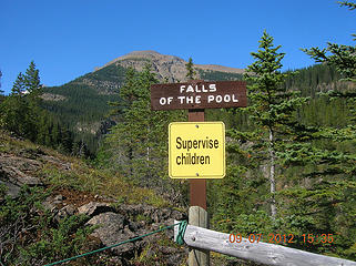 Supervise children 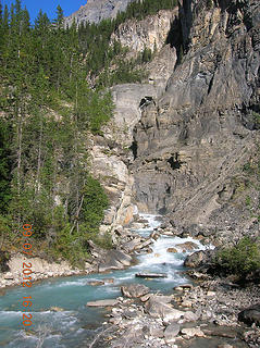 Robson River 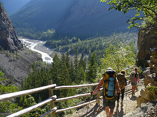 Ambling down the Berg Lake trail 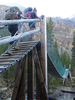 What, a bridge?!!  Robson River 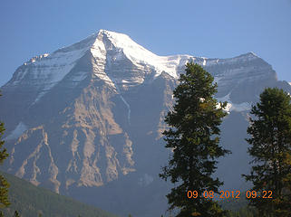 Goodbye to Mt. Robson
 Cyclopath Cyclopath
Cyclopath |
| Back to top |
  
|
|
Magellan
Brutally Handsome

Joined: 26 Jul 2006
Posts: 13116 | TRs | Pics
Location: Inexorable descent |
|
Magellan
Brutally Handsome
|
Tue Sep 18, 2012 2:19 pm |
|
|
Love it!! Beautiful scenery.  It has been way too long since I read a Roald report. Thanks for taking the time to write it up. It has been way too long since I read a Roald report. Thanks for taking the time to write it up.
|
| Back to top |
|
|
Stefan-K
Member

Joined: 10 Aug 2009
Posts: 522 | TRs | Pics
Location: seattle |
|
Stefan-K
Member
|
Thu Sep 20, 2012 11:54 am |
|
|
for all the muck there's way too many smiles! fun read.
|
| Back to top |
|
|
David¹
Token Canadian

Joined: 25 Jul 2002
Posts: 3040 | TRs | Pics
Location: The Great White North |
|
David¹
Token Canadian
|
Thu Sep 20, 2012 2:48 pm |
|
|
Wonderful report, even with all that Canada bashing  So glad you got to see Mt. Robson and Berg Lake in all their glory.
|
| Back to top |
|
|
Roald
Member
Joined: 06 Aug 2007
Posts: 367 | TRs | Pics
Location: Seattle |
|
Roald
Member
|
Sat Sep 22, 2012 4:41 pm |
|
|
|
| Back to top |
|
|
|
|
You cannot post new topics in this forum
You cannot reply to topics in this forum
You cannot edit your posts in this forum
You cannot delete your posts in this forum
You cannot vote in polls in this forum
|
Disclosure: As an Amazon Associate NWHikers.net earns from qualifying purchases when you use our link(s). |


