| Previous :: Next Topic |
| Author |
Message |
Gimpilator
infinity/21M


Joined: 12 Oct 2006
Posts: 1684 | TRs | Pics
Location: Edmonds, WA |
I was rejected by San Gorgonio last winter on a trip with EastKing and Kristin. We had made the ultimate mistake by leaving our snowshoes in the car. This time I would be travelling lighter, without a tent or sleeping gear, and I had snowshoes.
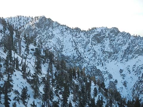 Galena Peak 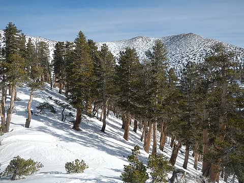 The Summit Area Seen From 10,000' 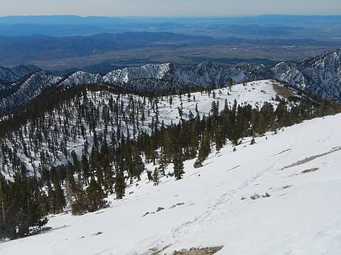 Looking Down 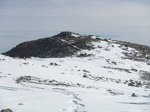 The Summit 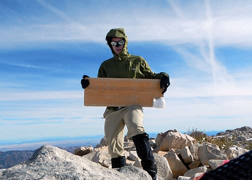 I'm A Signpost 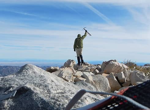 The Axe I Didn't Use 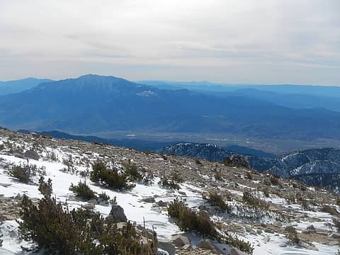 The View South 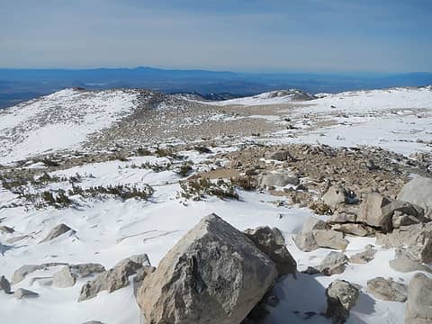 Baldy And The North Summit
|
| Back to top |
  
|
|
EastKing
Surfing and Hiking

Joined: 28 Mar 2007
Posts: 2082 | TRs | Pics
Location: 77 miles from Seattle! |
|
EastKing
Surfing and Hiking
|
 Mon Jan 14, 2013 1:01 pm |
|
|
Glad you got the summit. I have to down there and get that one myself (maybe February or March). It should also be noted that nationwide national park pass also works on the Vivian Creek Trailhead.
YouTube | SummitPost
Saw the depths of despair. Now I am salvaging what time I have left on Earth.
YouTube | SummitPost
Saw the depths of despair. Now I am salvaging what time I have left on Earth.
|
| Back to top |
|
|
Magellan
Brutally Handsome

Joined: 26 Jul 2006
Posts: 13116 | TRs | Pics
Location: Inexorable descent |
|
Magellan
Brutally Handsome
|
Mon Jan 14, 2013 1:17 pm |
|
|
Really nice get, especially solo in January. 
|
| Back to top |
|
|
|
|
You cannot post new topics in this forum
You cannot reply to topics in this forum
You cannot edit your posts in this forum
You cannot delete your posts in this forum
You cannot vote in polls in this forum
|
Disclosure: As an Amazon Associate NWHikers.net earns from qualifying purchases when you use our link(s). |


