Jeb
Summit Driven

Joined: 21 Jul 2012
Posts: 251 | TRs | Pics
Location: Seattle |
|
Jeb
Summit Driven
|
 Fri Nov 01, 2013 7:53 am |
|
|
View larger size in new window
Road 68 is in decent shape besides about 2 dozen gnarly potholes along the way. Road 6830 had even fewer potholes and just a few sections of wash boarded road. The lower slopes of Sobieski Mountain were visible across the Foss Creek valley on the drive up until I entered a thick fog around 3000 feet. Light snow began to fall before Road 310, and was a thin layer was already sticking in a few places. Trail 1058 was well kept to the Fisher Lake/Deception Creek Junction. I encountered several patches of firm snow above 5000 feet, mostly on the North side of Tonga Ridge. Mount Sawyer has a nice trail leading to the summit, but I found only game trails between lots of bushwhacking to the peaks to the West and East.
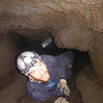
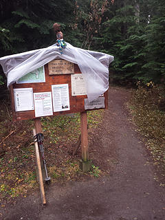 Tonga Ridge TH 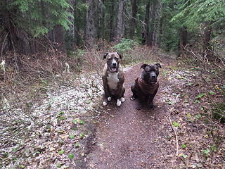 Dogs on Trail 1058 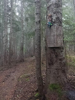 Entering Alpine Lakes Wilderness 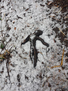 Snow brings out the wierdos 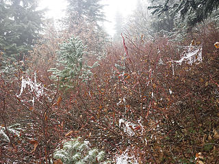 Blueberry webs. This is what much of the off trail looked like 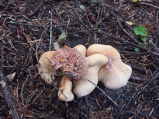 Fungi 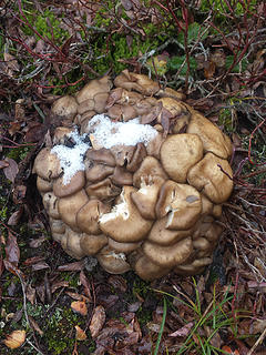 Fungi 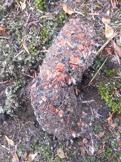 Not sure what to make of this, but I see jellow jackets in there 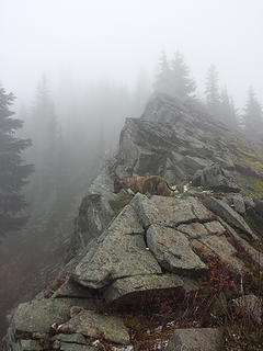 One of several cliffy outcroppings along the West Ridge of Sawyer Mountain 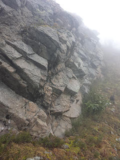 Climbers right is the way to go, all the way up 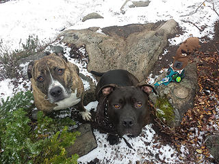 Dogs and aDam on Sawyer Summit 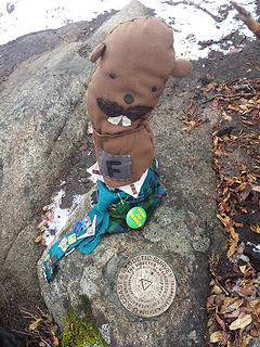 aDam on Sawyer Summit 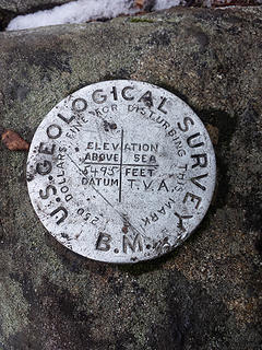 Mount Sawyer Survey Marker 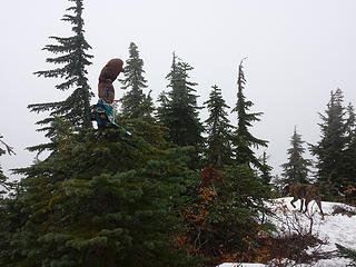 aDam on Sawyer Summit 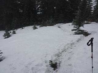 One of several snow fields above Trail 1058 One of several snow fields above Trail 1058 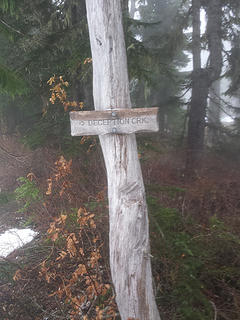 Fisher Lake Junction 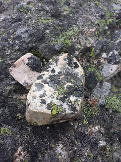 Rock 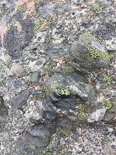 Rock 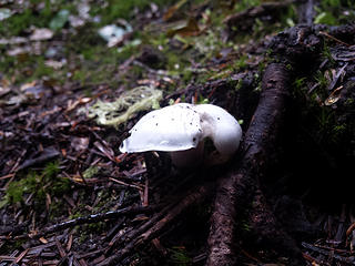 Fungus 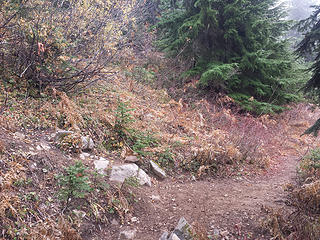 The trail to Mount Sawyer Summit from 1058 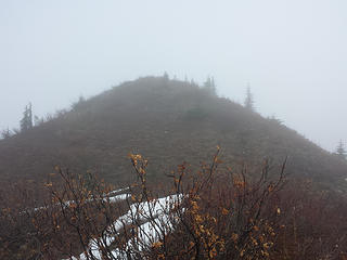 Foggy knob near West Tonga 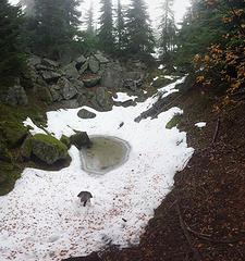 Maybe a cave in a few centuries 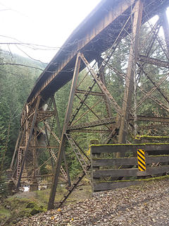 Burlington Northern
|


