| Previous :: Next Topic |
| Author |
Message |
tigermn
Member


Joined: 10 Jul 2007
Posts: 9242 | TRs | Pics
Location: There... |
|
tigermn
Member
|
 Tue Jan 21, 2014 1:13 pm |
|
|
Well due to an assortment of reasons this was actually my first hike of 2014. Wanted something close and with enough distance/elevation gain that I could see how really unfit I was becoming.
Rattlesnake Ridge traverse seemed to fit the bill. While I have hiked all of the trail I had never hiked across due to the car shuttle requirement more than anything. Hard one to do solo. I met Thom at Snoqualmie Point at 07:30 to do the car shuffle. When I got there I wish we had hiked earlier so we could be on the ledges for this sunrise.
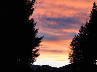 Sunrise from parking outside Snoqualmie Point Parking area. 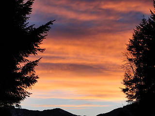 Sunrise from parking outside Snoqualmie Point Parking area. 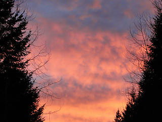 Sunrise from parking outside Snoqualmie Point Parking area. 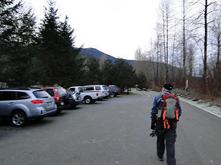 Starting down towards trail from Lake side. 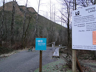 Starting down towards trail from Lake side. 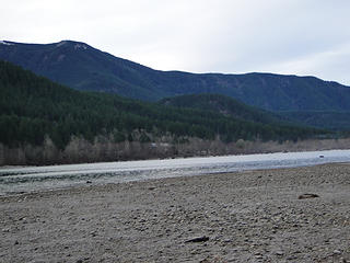 Lower than normal lake level. 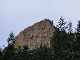 Rattlesnake ledges. 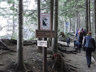 Junction to first ledge. 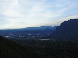 View from first ledge area. 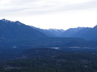 View from first ledge area. 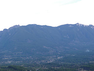 View from first ledge area. 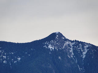 Mt Teneriffe from Rattlesnake Ledge. 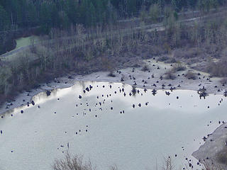 Rattlesnake Lake from first ledge. 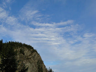 Views from first ledge. 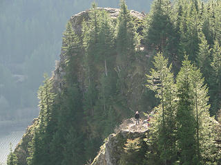 Views of 2nd and 1st ledge from 3rd ledge. 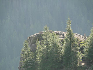 Views of 1st ledge from 3rd ledge. 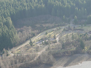 Parking lot below from 3rd ledge. 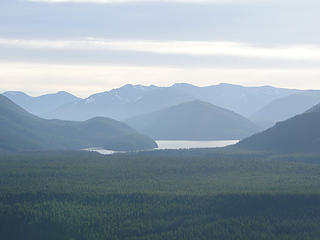 View from third ledge. 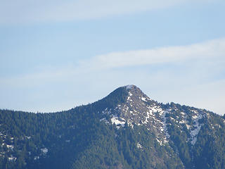 Teneriffe summit from 3rd ledge. 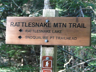 Trail sign. 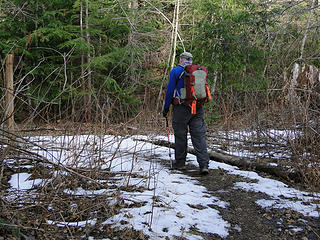 Thom at first of very little snow seen. 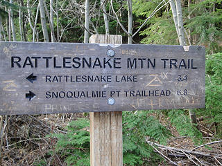 Maybe 1 mile from East Peak. 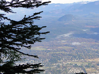 Peek a boo view at about 3100 feet by old borrow pit closing up with tree growth. 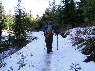 Easy but slippery snow not to last beyond this clearing. 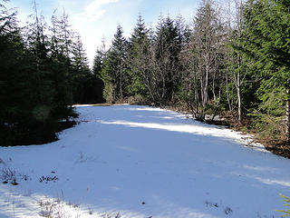 Looks like lots but is very little snow. 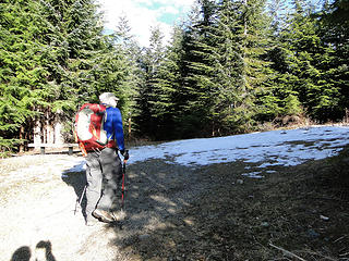 Approaching east tower. 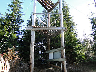 East mini tower. 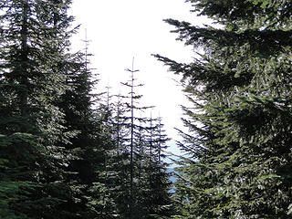 Rainier somewhere out there. 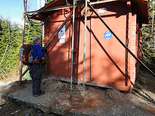 East tower. 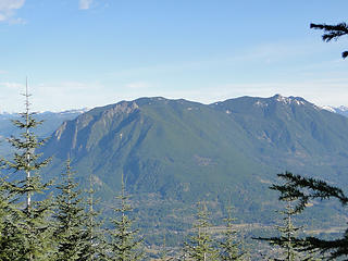 Si/Teneriffe from bench near East towers. 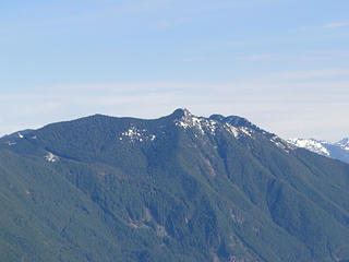 Si/Teneriffe from bench near East towers. 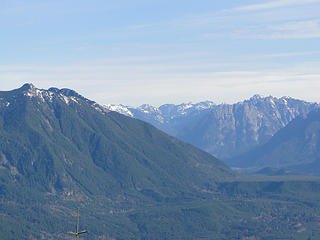 Views from bench near East towers. 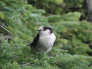 Robber jay. 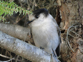 Robber jay. 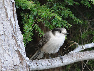 Robber jay. 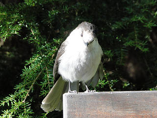 Bird on a sign. 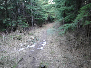 Heading to Windy Landing. 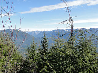 Windy Landing views getting overgrown. 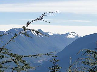 Windy Landing views getting overgrown. 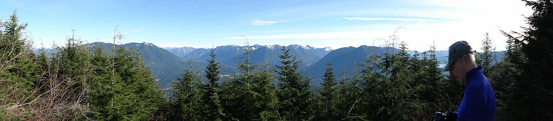 Windy Landing Pano from lunch spot. 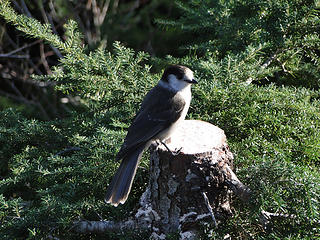 Bird on a stump. 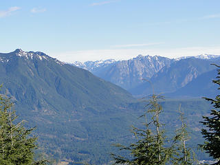 Views from Windy Landing. 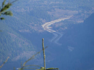 Great view of I-90 below from Windy Landing. 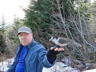 This bird literally took off a fraction after I snapped this. You can see the blur. 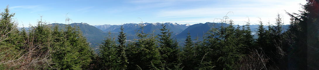 Windy Landing. 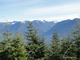 Windy Landing.  Heading down. 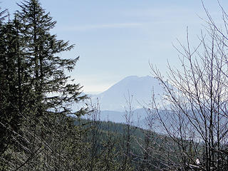 Rainer from super secret spur off main trail. 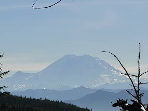 Rainer from super secret spur off main trail. 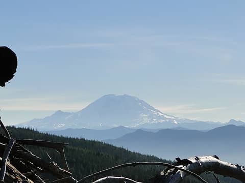 Rainer from super secret spur off main trail. 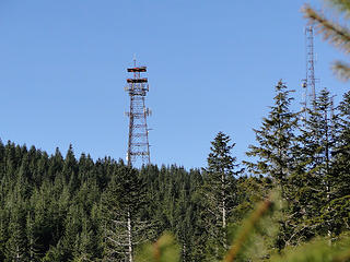 Some towers the trail doesn't go by. 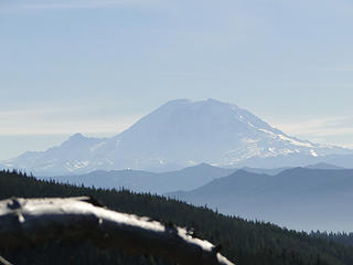 Rainer from super secret spur off main trail. 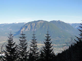 Views from Grand Prospect. 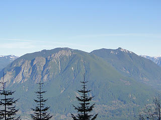 Views from Grand Prospect. 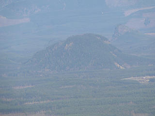 Views (fuller mountain) from Grand Prospect. 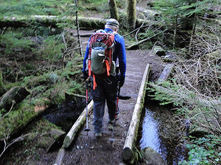 Only creek crossing on the hike. 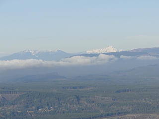 Views from Stan's Overlook. 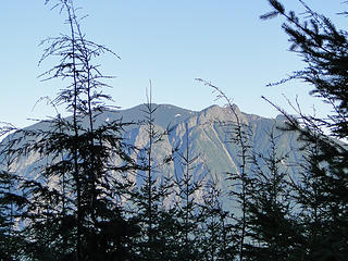 Views from Stan's Overlook (not for long). 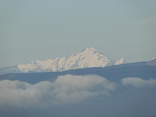 Views from Stan's Overlook. 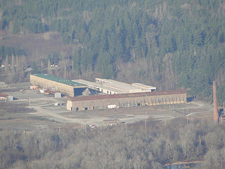 Views from Stan's Overlook (what is this place?) 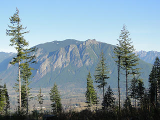 Pano from road spur below Stan's Overlook. 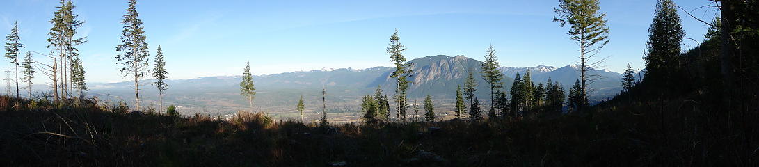 Pano from road spur below Stan's Overlook.  Not much further to go. 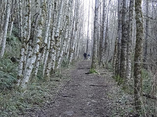 Tree corridor not too far from parking lot. 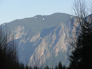 View from parking lot towards Si/Dixie.
|
| Back to top |
  
|
|
Schenk
Off Leash Man

Joined: 16 Apr 2012
Posts: 2372 | TRs | Pics
Location: Traveling, with the bear, to the other side of the Mountain |
|
Schenk
Off Leash Man
|
Tue Jan 21, 2014 3:36 pm |
|
|
So, what was for lunch?
hahahaha
Nature exists with a stark indifference to humans' situation.
Nature exists with a stark indifference to humans' situation.
|
| Back to top |
|
|
tigermn
Member
Joined: 10 Jul 2007
Posts: 9242 | TRs | Pics
Location: There... |
|
tigermn
Member
|
Wed Jan 22, 2014 9:35 am |
|
|
Brain freeze. Could someone move this to the Trip Report forum?
I would delete and repost but can't since there is a reply...
|
| Back to top |
|
|
meandering Wa
Member
Joined: 25 Jun 2010
Posts: 1516 | TRs | Pics
Location: Redmond |
I have been your mystery place. it is an old Weyerhaeuser site. I don't know its proper name or what the actual function was. My impression was that it was storage sheds. perhaps for large equipment.. Most of them were either sealed up or open and empty. They are quite large. The other old Weyerhaeuser mill site is now a car rally site, north of town
We parked here for the Warrior Dash in North Bend last July.
|
| Back to top |
|
|
|
|


