| Previous :: Next Topic |
| Author |
Message |
Bryan K
Shameless Peakbagger


Joined: 29 Sep 2005
Posts: 5129 | TRs | Pics
Location: Alaska |
|
Bryan K
Shameless Peakbagger
|
 Tue Jun 24, 2014 6:50 pm |
|
|
Gimpilator came up with the idea to hike to these seldom visited peaks out of the Staircase TH.
We arrived at the TH and hit the trail by 7:50am
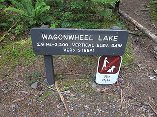 Yup, it really was steep! 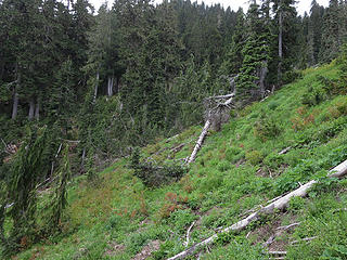 Slope of junk 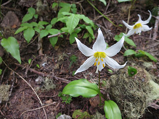 Glacier Lilly 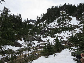 Picking our wy through this stuff 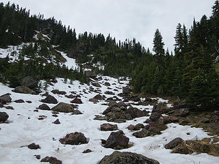 Easy traveling 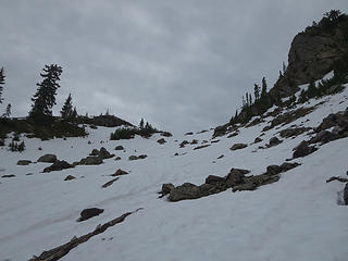 Ascnding to a saddle 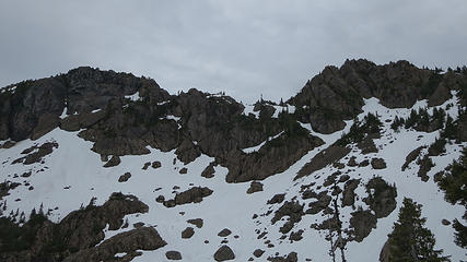 Copper on the right and Copper East on the left 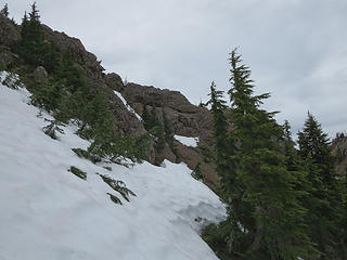 Further up 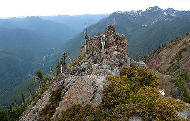 Climber on rock 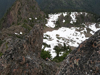 There were some notches to work through 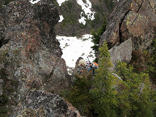 Ascending through a notch 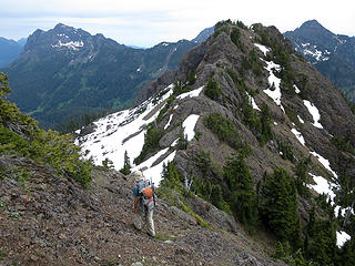 Heading to Copper East 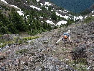 Cruddy rock to traverse 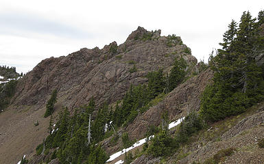 We came down from the middle 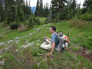 Slacker 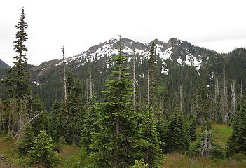 Copper across the way 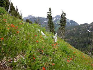 Grassy slop 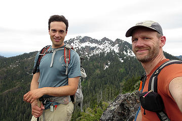 Cub Peak summit 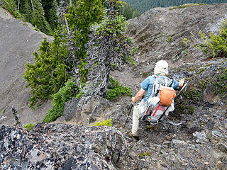 Heading down 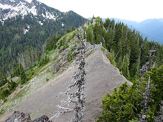 Cruddy ridge rock 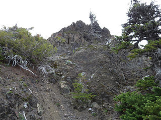 Looking back up to Cub
|
| Back to top |
  
|
|
Gimpilator
infinity/21M

Joined: 12 Oct 2006
Posts: 1684 | TRs | Pics
Location: Edmonds, WA |
Thanks Bryan for scouting parts of the route. It was a super fun day!
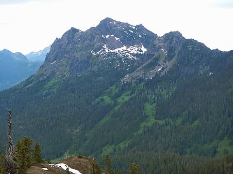 Pershing 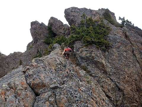 near the summit 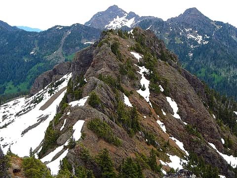 east peak 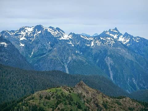 Skokomish and Stone 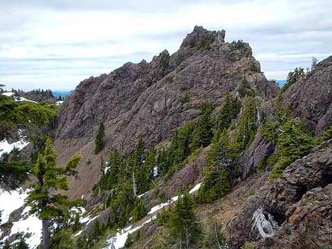 west peak 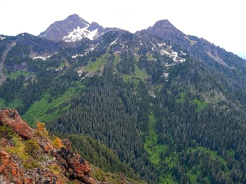 Washington and Ellinor 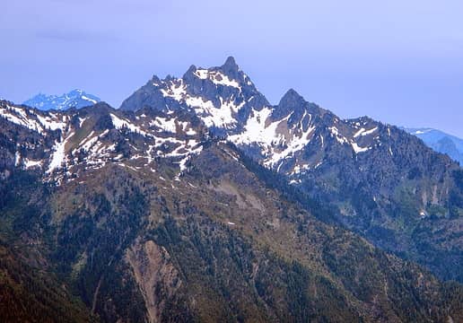 Stone 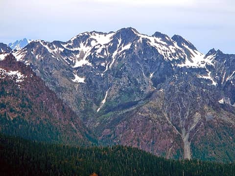 Skokomish 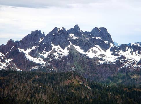 Cruiser 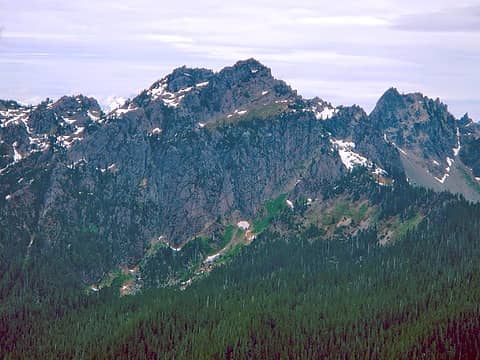 Lincoln 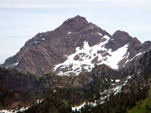 Washington 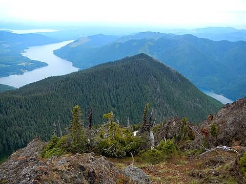 Rose and Lake Cushman 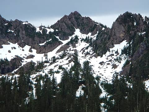 Copper 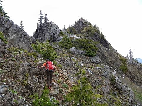 going to Cub 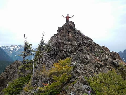 Cub Summit 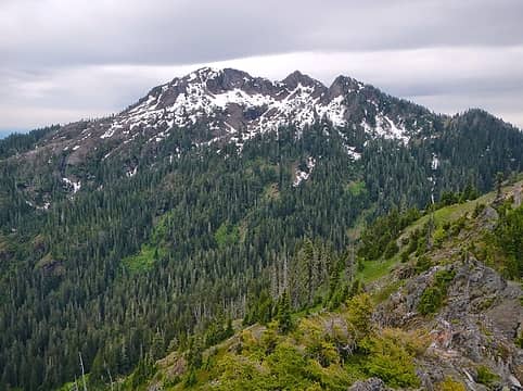 Copper
|
| Back to top |
|
|
meck
Member

Joined: 31 Dec 2010
Posts: 920 | TRs | Pics
|
|
meck
Member
|
Tue Jun 24, 2014 6:57 pm |
|
|
Great Pics and thanks for posting the route description! That ones been on my hit list for a few years now.
*Just say NO to Rent-Seeking, don't give up the concept of "ownership"*
*Just say NO to Rent-Seeking, don't give up the concept of "ownership"*
|
| Back to top |
|
|
ranger rock
One of the boys

Joined: 14 Dec 2011
Posts: 2550 | TRs | Pics
|
That sounds like a fun trip. I've been to the notch at the top of Copper but never up Copper and I've been up to the meadow on Cub peak but I would never think to try both in one day!
Wagon wheel is such an ugly trail until you break out of the woods, too much effort if you just stop at the lake.
According to my last GPS track log it's even steeper than the park sign indicates.
Thanks for sharing!
|
| Back to top |
|
|
puzzlr
Mid Fork Rocks

Joined: 13 Feb 2007
Posts: 7220 | TRs | Pics
Location: Stuck in the middle |
|
puzzlr
Mid Fork Rocks
|
Tue Jun 24, 2014 10:55 pm |
|
|
Great day. Thanks for the report and photos.
|
| Back to top |
|
|
RodF
Member

Joined: 01 Sep 2007
Posts: 2593 | TRs | Pics
Location: Sequim WA |
|
RodF
Member
|
Tue Jun 24, 2014 11:26 pm |
|
|
Thanks for sharing your hard-earned views!
| Bryan K wrote: | | We took that as the earth curvature. |
File this under "some dam smartass has to say it, and it just as well be me!  " -
That was one l-o-n-g ridge! Quoth thy theodolite, 2.3 degrees = 159 miles!
However, that theodolite may prove useful... As sighted from Edmonds, I predict it will indicate Mt. Constance is exactly half as tall as the maps say... saving much effort in future! " -
That was one l-o-n-g ridge! Quoth thy theodolite, 2.3 degrees = 159 miles!
However, that theodolite may prove useful... As sighted from Edmonds, I predict it will indicate Mt. Constance is exactly half as tall as the maps say... saving much effort in future!
"of all the paths you take in life, make sure a few of them are dirt" - John Muir
"the wild is not the opposite of cultivated. It is the opposite of the captivated - Vandana Shiva
"of all the paths you take in life, make sure a few of them are dirt" - John Muir
"the wild is not the opposite of cultivated. It is the opposite of the captivated - Vandana Shiva
|
| Back to top |
|
|
|
|
You cannot post new topics in this forum
You cannot reply to topics in this forum
You cannot edit your posts in this forum
You cannot delete your posts in this forum
You cannot vote in polls in this forum
|
Disclosure: As an Amazon Associate NWHikers.net earns from qualifying purchases when you use our link(s). |


