cartman
Member


Joined: 20 Feb 2007
Posts: 2800 | TRs | Pics
Location: Fremont |
|
cartman
Member
|
 Thu Sep 25, 2014 7:22 pm |
|
|
Kristy really wanted to get out for her first mountaineering trip this year, so I suggested Saul as a fine alpine setting. I've been wanting to see this area for several years and the weather was set up ideally for a multiday trip.
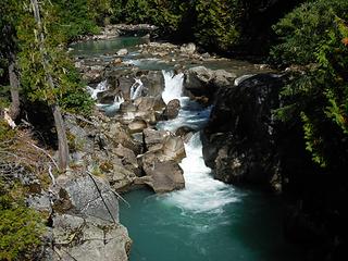
Saul shares a long ridgeline from Indian Head Peak, but the access for scrambling from the east is via the White River Road. I've been in the Boulder Pass area a couple of times but never up the Indian Creek Trail. As we started up the trail over the great bridge,
 Trailhead 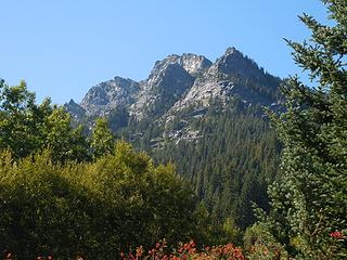 First view of Saul 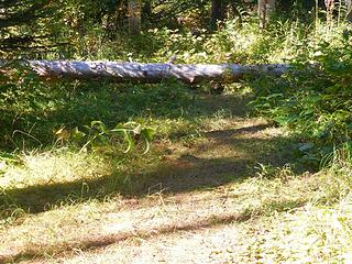 Beginning of fisherman's trail 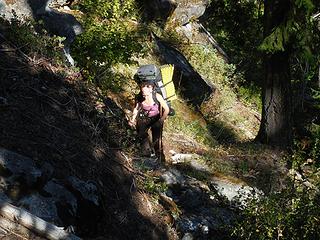 Up the path 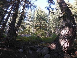 Decent travel 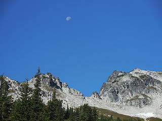 Morning moon 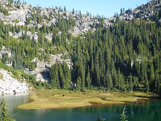 Airplane Lake peninsula 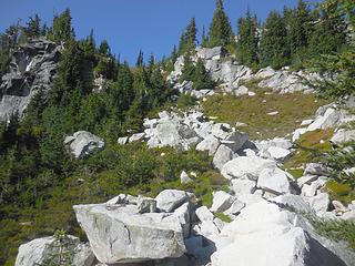 Up we go 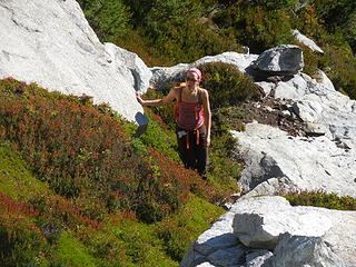 Kristy checking out the route 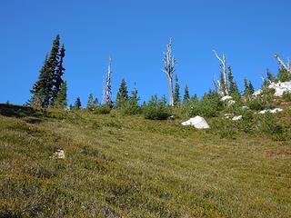 SE Ridge in sight 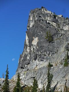 Buttress moon 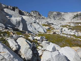 In the basin  Dakobeds 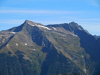 Clark 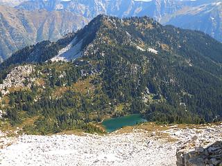 Airplane Peak and Lake 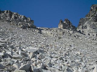 Southern notch 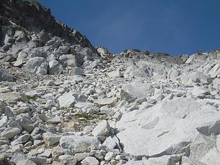 This is the way up 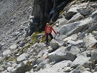 Ready to go 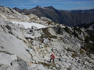 Kristy scoping the route 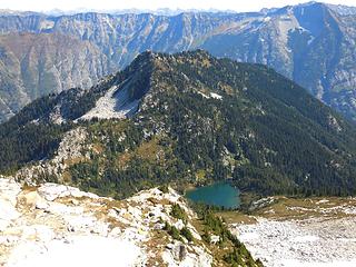 Airplane again 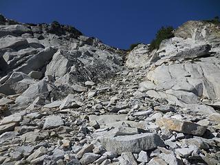 Last gully 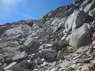 This way would work too 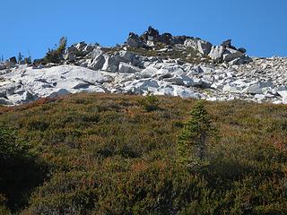 Summit ahead 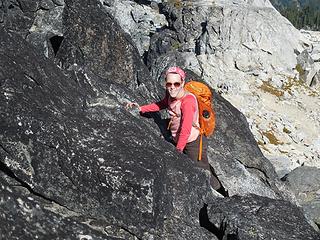 Kristy near the top 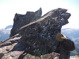 Summit blocks 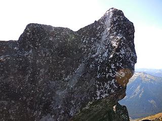 Summit fin 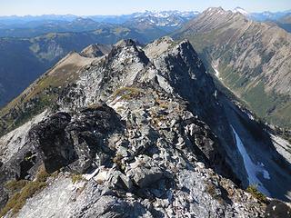 Indian Head High Route 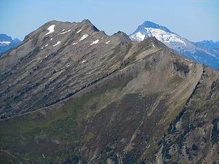 Indian Head 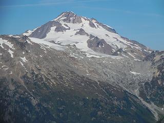 Glacier Peak 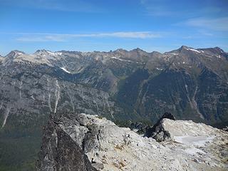 Dakobed Range 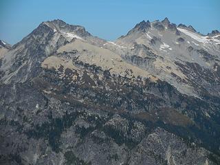 West Tenpeak and Tenpeak 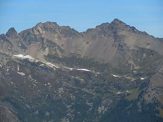 Chalangin and Luahna 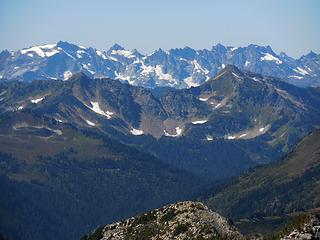 Monte Cristos 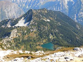 Airplane from the top 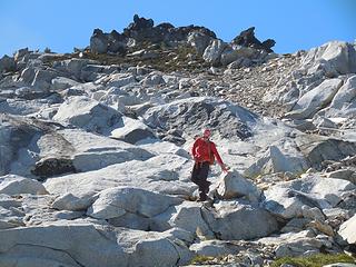 Kristy descending from the summit area 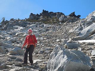 Kristy heading down 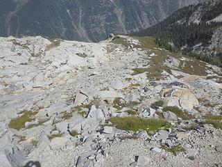 Looking down the NE Ridge 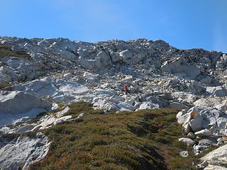 Kristy and white granite 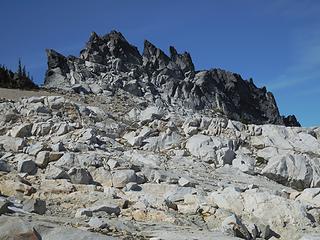 Pinnacles 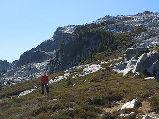 Kristy and Saul 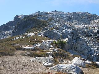 Looking up the NE Ridge 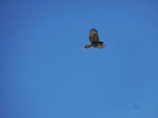 Hawk 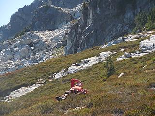 Hawk viewing 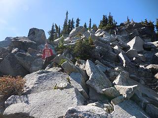 Working the ridge 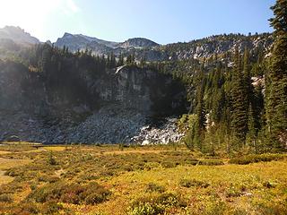 Airplane Lake meadow 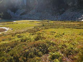 Peninsula meadows 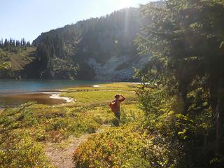 Kristy investigating the lakeshore 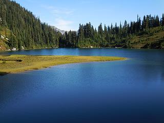 Airplane Lake and peninsula 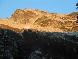 Saul morning
|


 Ditto on the HR.