| Previous :: Next Topic |
| Author |
Message |
boot up
Old Not Bold Hiker


Joined: 12 Dec 2006
Posts: 4745 | TRs | Pics
Location: Bend Oregon |
|
boot up
Old Not Bold Hiker
|
 Mon Aug 17, 2015 4:07 pm |
|
|
well, you rolls yer dice and takes yer chance.
Ohanapecosh glacier/valley overlook is hard earned with 15.3 miles RT, and 4065 feet elevation gain. Sure would have been nice to have greater than 50feet visibility when I finally showed John this Special Place. At least we got to see lots of marmots.
 Indian Bar is below. Really.
Summerland-Panhandle Gap 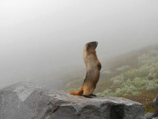 Marmot trolling for a date. It just heard a whistle.
Summerland-Panhandle Gap 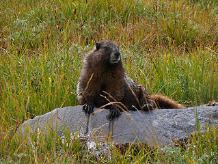 Summerland Marmot.
Summerland-Panhandle Gap 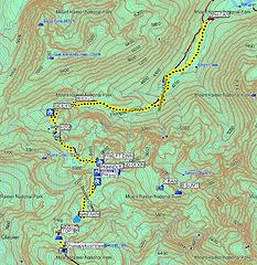 15.3 miles round trip.
4065 feet elevation gain. Summerland-Panhandle Gap 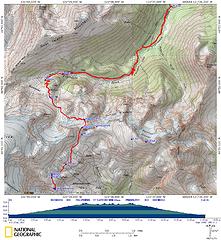 15.3 miles round trip.
4065 feet elevation gain. Summerland-Panhandle Gap 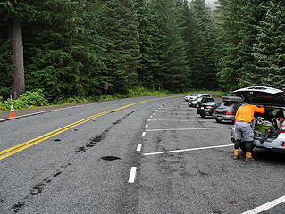 Basecamp. Notice puddles in road.
Summerland-Panhandle Gap 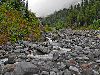 Creek,
Summerland-Panhandle Gap 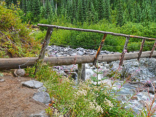 Lower bridge.
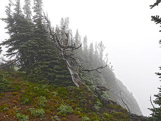
Summerland-Panhandle Gap 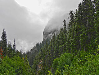 Misty morning.
Summerland-Panhandle Gap 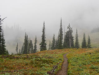 Foggy Summerland.
Summerland-Panhandle Gap 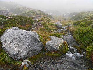 Summerland creek.
Summerland-Panhandle Gap 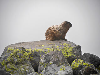 Marmot.
Summerland-Panhandle Gap 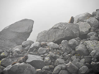 Marmot,
Summerland-Panhandle Gap 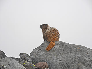 Marmot.
Summerland-Panhandle Gap 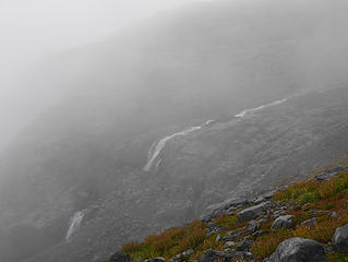 Summerland-Panhandle Gap 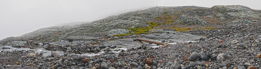 Upper log crossing.
Summerland-Panhandle Gap 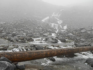 Upper log crossing.
Summerland-Panhandle Gap 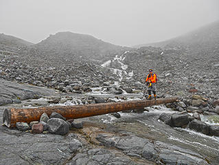 John on upper log crossing.
Summerland-Panhandle Gap 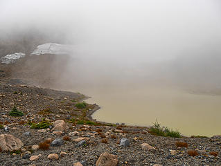 Normally bright green tarn.
Summerland-Panhandle Gap 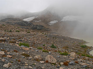 Summerland-Panhandle Gap 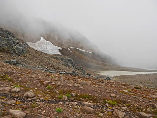 Summerland-Panhandle Gap 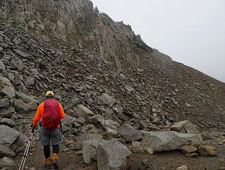 John at usual dicey icey spot.
Summerland-Panhandle Gap 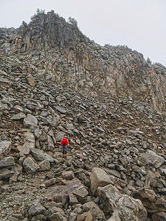 Normally there is snow here.
Summerland-Panhandle Gap 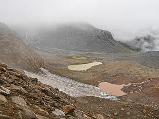 Moonscape.
Summerland-Panhandle Gap 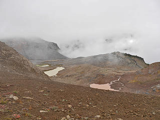 Over the edge.
Summerland-Panhandle Gap 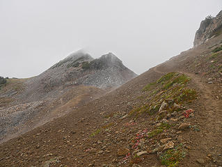 Into the Myst.
Summerland-Panhandle Gap 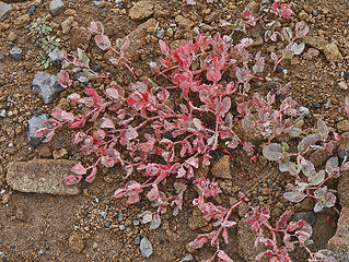 Summerland-Panhandle Gap 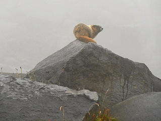 Marmot.
Summerland-Panhandle Gap 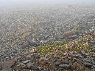 Summerland-Panhandle Gap Indian Bar is below. Really.
Summerland-Panhandle Gap 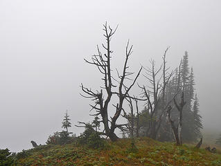 Ohanapecosh view was underwhelming today.
Summerland-Panhandle Gap 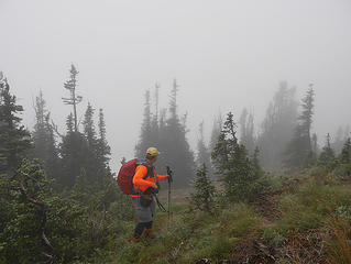 John underwhelmed by the view.
Summerland-Panhandle Gap 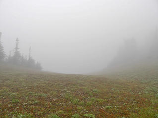 Ohanapecosh view was underwhelming today.
Summerland-Panhandle Gap 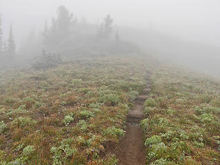 Just above Ohanapecosh overlook.
Summerland-Panhandle Gap 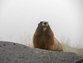 Marmot.
Summerland-Panhandle Gap 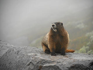 Marmot.
Summerland-Panhandle Gap 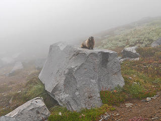 Marmot.
Summerland-Panhandle Gap 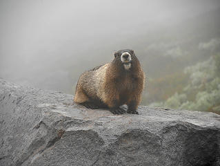 Marmot.
Summerland-Panhandle Gap Marmot trolling for a date. It just heard a whistle.
Summerland-Panhandle Gap 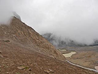 Moondance.
Summerland-Panhandle Gap 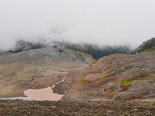 Delta blues.
Summerland-Panhandle Gap 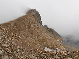 Fog cresting the gap.
Summerland-Panhandle Gap 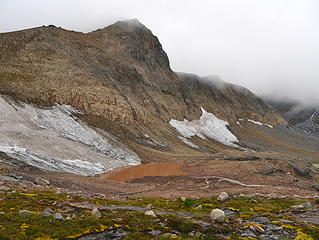 Basin, still foggy.
Summerland-Panhandle Gap 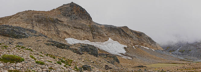 Basin Panorama.
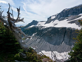
Summerland-Panhandle Gap 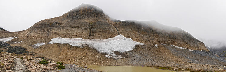 Small glacier panorama.
Summerland-Panhandle Gap 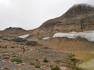 John in the main basin.
Summerland-Panhandle Gap 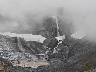 PrimeEvil.
Summerland-Panhandle Gap 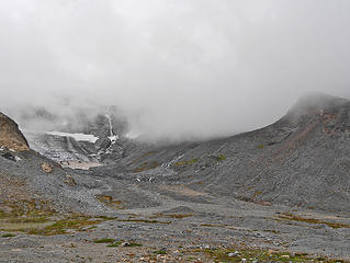 The other basin.
Summerland-Panhandle Gap 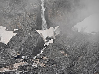 Summerland-Panhandle Gap 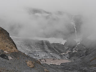 Basin melting.
Summerland-Panhandle Gap 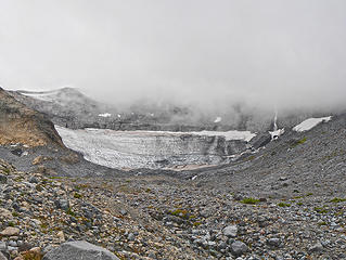 Big Glacier.
Summerland-Panhandle Gap 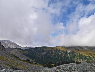 Finally, some blue sky.
Summerland-Panhandle Gap 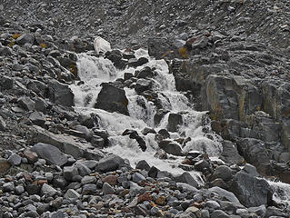 Summerland-Panhandle Gap 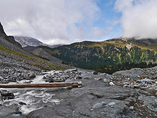 The Upper Log bridge.
Summerland-Panhandle Gap 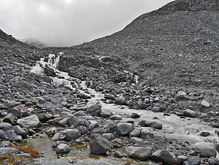 Summerland-Panhandle Gap 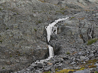 Summerland-Panhandle Gap 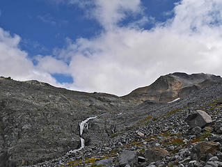 Waterfall and rare blue sky.
Summerland-Panhandle Gap 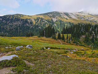 Summerland...
Summerland-Panhandle Gap  Summerland Marmot.
Summerland-Panhandle Gap 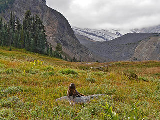 Summerland Marmot. with view.
Summerland-Panhandle Gap 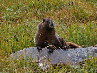 Summerland Marmot.
Summerland-Panhandle Gap 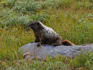 Summerland Marmot.
Summerland-Panhandle Gap 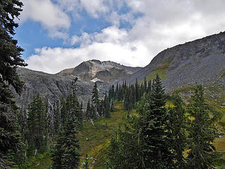 Summerland view.
Summerland-Panhandle Gap 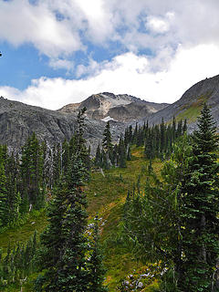 Summerland view.
Summerland-Panhandle Gap 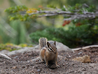 Chipmunk at Summerland shelter.
Summerland-Panhandle Gap 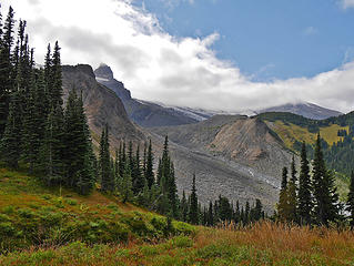 Summerland view.
Summerland-Panhandle Gap 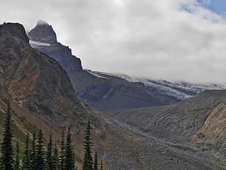 Summerland view.
Summerland-Panhandle Gap 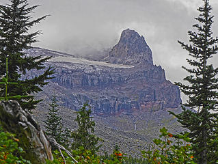 Summerland view.
Summerland- Panhandle Gap- Ohanapecosh overlook 8/15/15
|
| Back to top |
  
|
|
boot up
Old Not Bold Hiker
Joined: 12 Dec 2006
Posts: 4745 | TRs | Pics
Location: Bend Oregon |
|
boot up
Old Not Bold Hiker
|
Tue Aug 18, 2015 7:07 pm |
|
|
Just for comparison, here are some photos from the same Ohanapecosh overlook in September 2012. Looking at other photos from that trip, I was shocked by how much more snow was on the route that late in 2012, compared to no snow this year already. I probably have a trip report in here somewhere.
 Ohanapecosh Viewpoint, Sept 2012, just for comparison 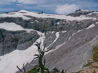 Ohanapecosh Viewpoint, Sept 2012, just for comparison 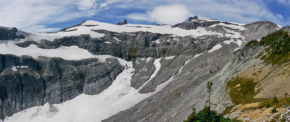 Ohanapecosh Viewpoint, Sept 2012, just for comparison 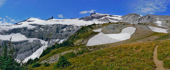 Ohanapecosh Viewpoint, Sept 2012, just for comparison
|
| Back to top |
|
|
tigermn
Member

Joined: 10 Jul 2007
Posts: 9242 | TRs | Pics
Location: There... |
|
tigermn
Member
|
Wed Aug 19, 2015 6:11 am |
|
|
Not the best comparison but...
September 2012
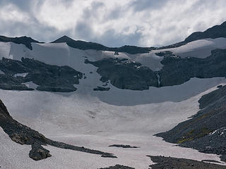 Empty bowl
MRNP-Summerland-Panhandle-Ohanapecosh 9/8/12 Big Glacier.
Summerland-Panhandle Gap
|
| Back to top |
|
|
|
|
You cannot post new topics in this forum
You cannot reply to topics in this forum
You cannot edit your posts in this forum
You cannot delete your posts in this forum
You cannot vote in polls in this forum
|
Disclosure: As an Amazon Associate NWHikers.net earns from qualifying purchases when you use our link(s). |


