Bloated Chipmunk
Cock Rock Searcher


Joined: 29 Jan 2007
Posts: 2993 | TRs | Pics
Location: Margaritaville |
"But me, not destin'd such delights to share,
My prime of life in wandering spent and care,
Impell'd with steps unceasing, to pursue
Some fleeting good, that mocks me with the view;
That, like the circle bounding earth and skies,
Allures from far, yet, as I follow, flies;
My fortune leads to traverse realms alone,
And find no spot of all the world my own."
--Oliver Goldsmith, The Traveller
Directions: 8E > 79N > 78E > S-2S > Cool Canyon Rd. (unmarked)
MAP
For MLK Day I headed out to ABDSP once again for an adventure. A couple weeks prior I had been in this area and went up Rego BM, this time I decided to check out Cool Canyon. After gingerly driving my car up the dirt road from S-2, I arrived @ the TH to find only one other vehicle. I donned my gear and headed up the canyon.
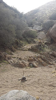
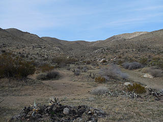 Cool Canyon TH 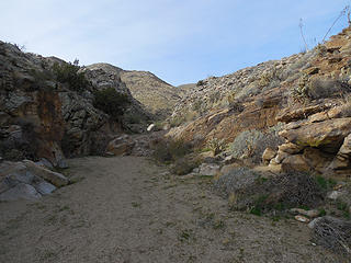 Headin' up 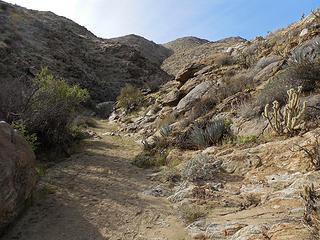 Walls get narrower 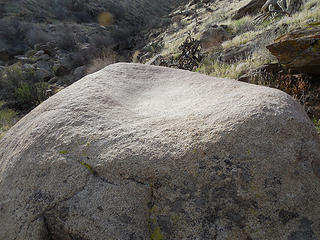 The only grinding evidence I found 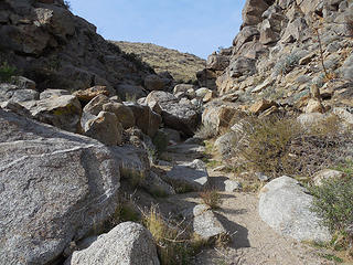 A dry fall 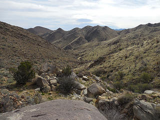 Getting higher 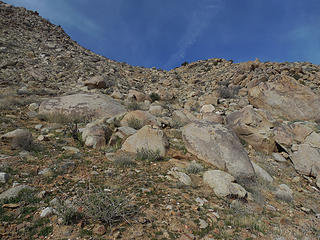 Heading for that saddle 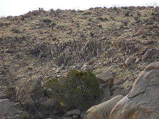 Rocky area across the way 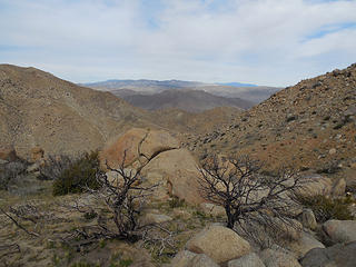 View off the other side 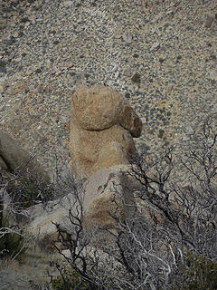 Could it be?... 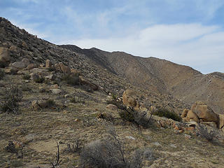 View NW from the saddle 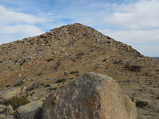 Unnamed nub to the east of the saddle 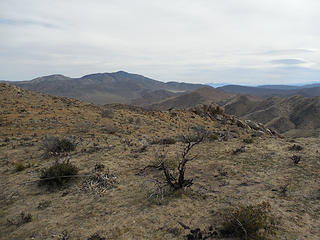 Whale Pk. 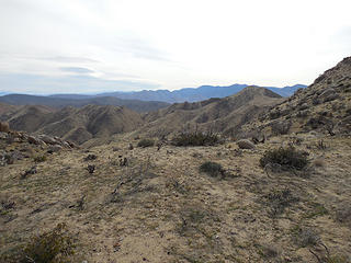 View south 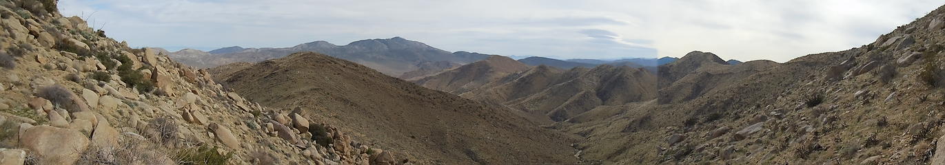 Saddle pano 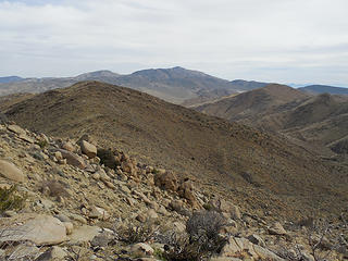 Pinyon Mtn., Whale Mtn. in the distance 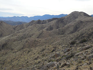 View south across ridges & beyond 
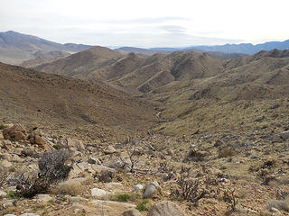 Heading back down into the canyon 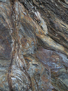 Texture  But, this looked like a potentially interesting canyon to explore further @ a later point. But, this looked like a potentially interesting canyon to explore further @ a later point.
 Entrance to side canyon 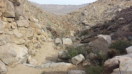 Heading back down the main canyon 
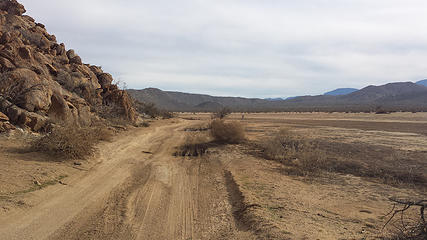 Muddy ruts 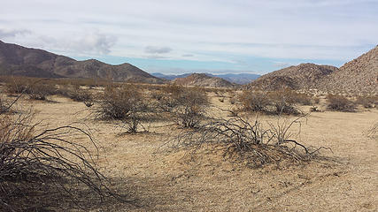 Looking toward Foot & Walker Pass 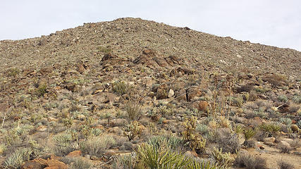 'til next time... 
 Granite Mtn. 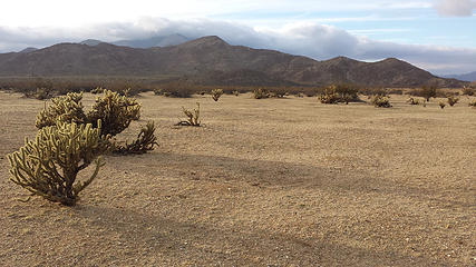 Blair Valley 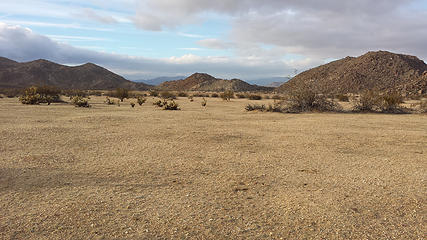 Blair Valley 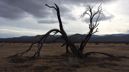 Dead 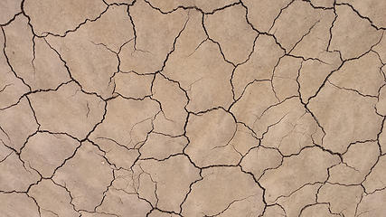 Cracked up 
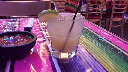 Post-hike margarita
Home is where the hiking is.
"Peaks that have come and gone four times should halt a man in his steps." -- William O. Douglas
A balanced diet is a margarita in each hand.
Home is where the hiking is.
"Peaks that have come and gone four times should halt a man in his steps." -- William O. Douglas
A balanced diet is a margarita in each hand.
|


