tigermn
Member


Joined: 10 Jul 2007
Posts: 9242 | TRs | Pics
Location: There... |
|
tigermn
Member
|
 Fri Apr 29, 2016 9:23 pm |
|
|
From last Saturday. What a great day to be on the eastside. Temps perfect and mostly sunny.
I decided to explore the various Quincy Lakes. Most people refer to this is Ancient Lakes but it is more than that.
Nice drive over. Parking lot tons more cars than last year.
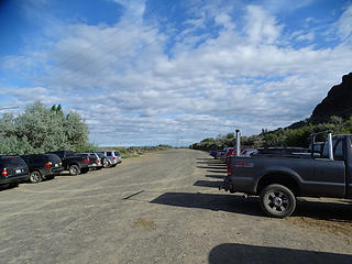 Ancient Lakes trailhead parking. Lots more cars than fall. 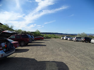 Ancient Lakes trailhead parking. Lots more cars than fall. 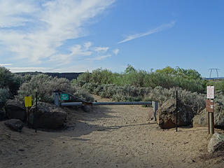 Starting on trail. 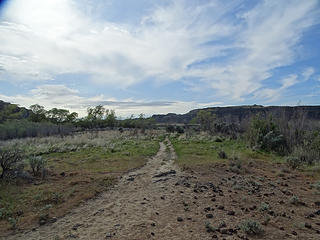 Looking ahead. 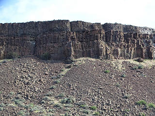 Walls above coulee. 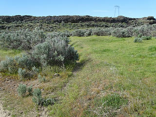 Trail heading to Columbia River. 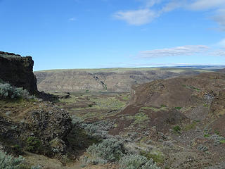 Views from trail heading to Columbia river. 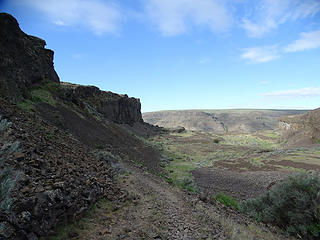 Views from trail heading to Columbia river. 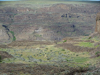 Trail down below. 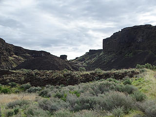 Looking back. 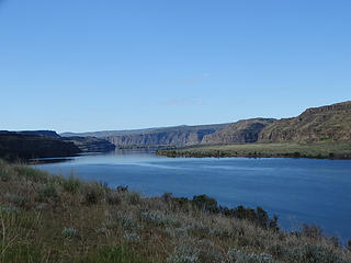 Columbia River. 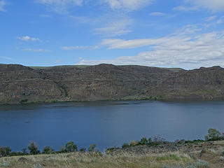 Columbia River. 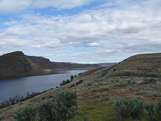 Columbia River. 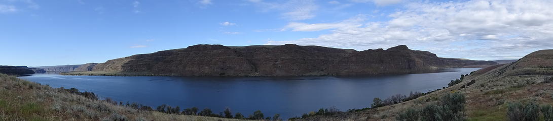 Pano from just above Columbia River. 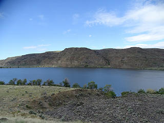 Columbia River. 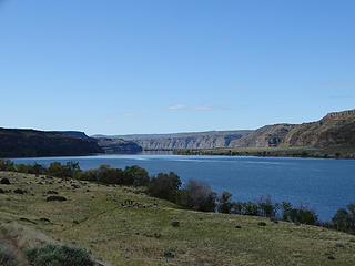 Columbia River. 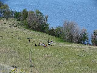 Campers below setting up camp. 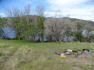 Almost to river. 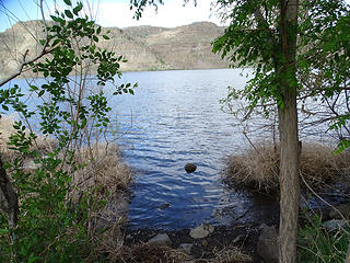 Literally down to the Columbia River. 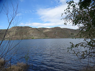 Literally down to the Columbia River. 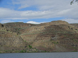 Views from Columbia River. 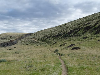 Heading back up. 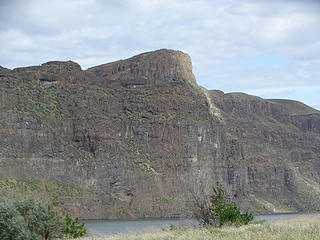 Views heading back up. 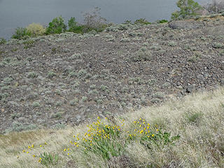 A few flowers. 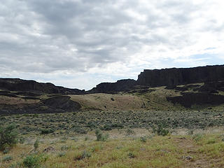 The way back. 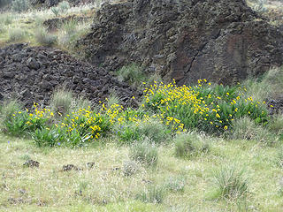 A few flowers. 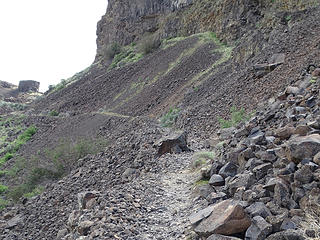 The trail below the cliffs heading back to main trail. 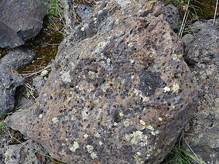 Molten rocks that must have cooled with air bubbles. 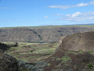 Looking towards Columbia River. 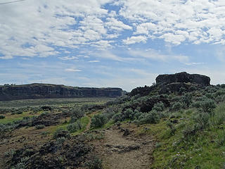 Views. 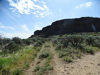 Fork to Dusty Lake. 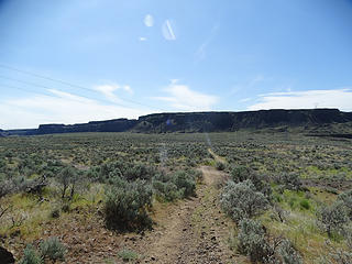 Plains heading to Dusty Lake. 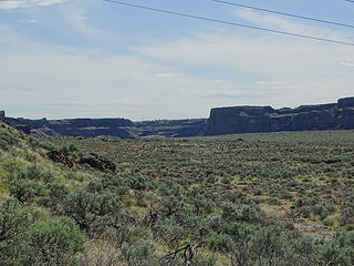 Plains heading to Dusty Lake. 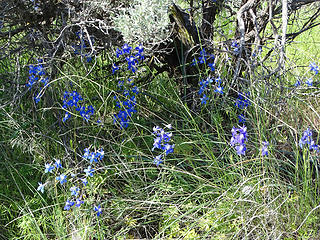 Flowers. 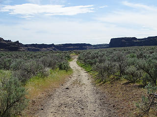 The way to Dusty Lake. 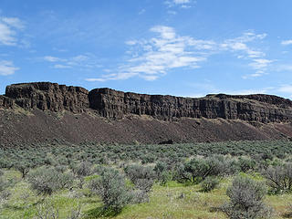 Cliffs on either side of valley. 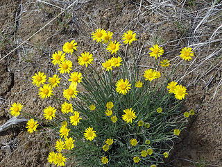 Flowers. 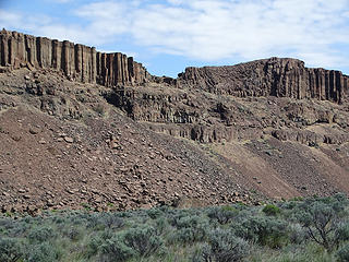 Cliffs on either side of valley. 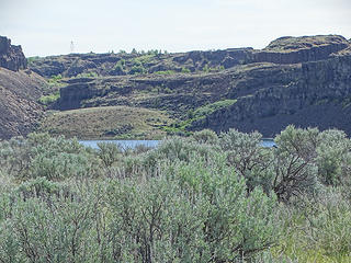 First view of Dusty Lake. 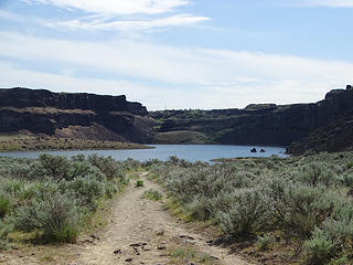 Dusty Lake. 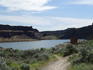 Dusty Lake. 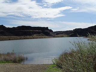 Dusty Lake. 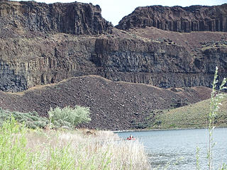 Walls above Dusty Lake. Notch is accessable from Ancient Lake side, not from here. 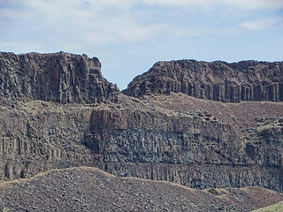 Walls above Dusty Lake. Notch is accessable from Ancient Lake side, not from here. 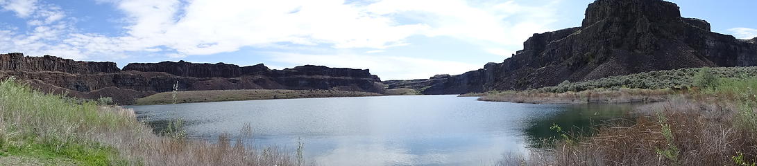 Pano of Dusty Lake. 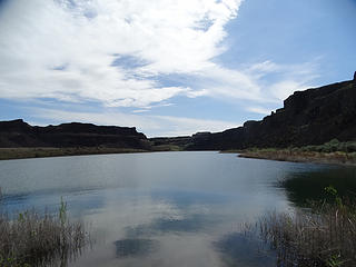 Dusty Lake. 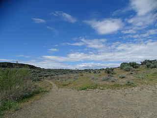 Leaving Dusty Lake. 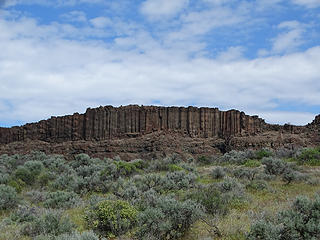 Leaving Dusty Lake. 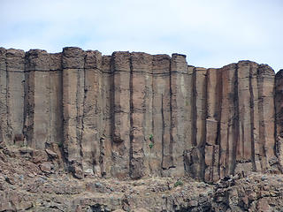 Neat walls. 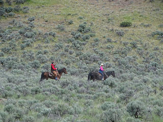 Horses. 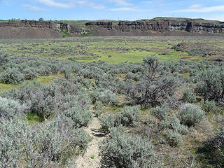 Taking an obscure fork to Ancient Lakes. 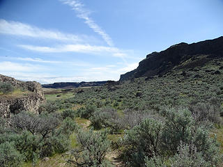 Taking an obscure fork to Ancient Lakes. 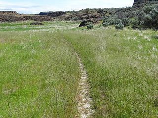 More obscure way to Ancient Lakes. 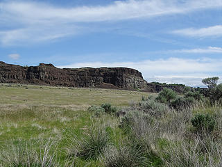 More obscure way to Ancient Lakes. 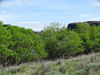 First of Ancient Lakes. 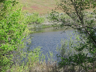 First of Ancient Lakes. 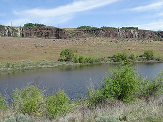 First of Ancient Lakes. 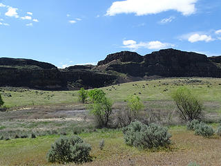 Dry lake. 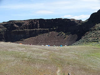 Tent city at Ancient Lakes. 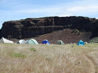 Tent city at Ancient Lakes. 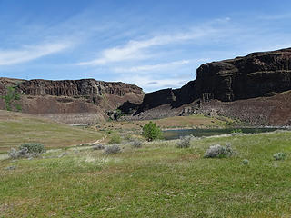 Views. 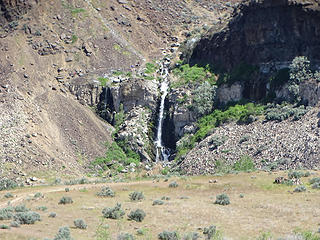 Waterfall above Ancient Lake. 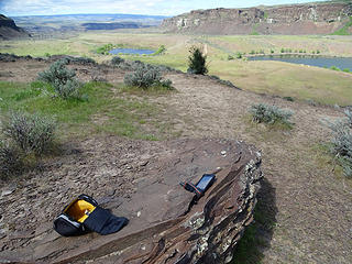 Lunch spot above Ancient Lakes. 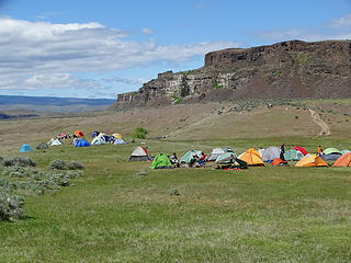 Looking back at tent city. 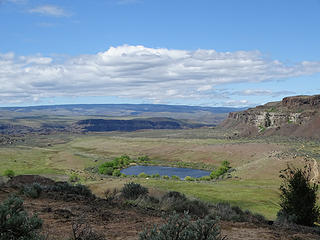 Views from lunch spot. 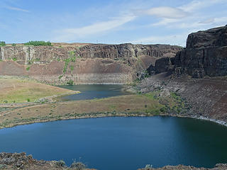 Views from lunch spot. 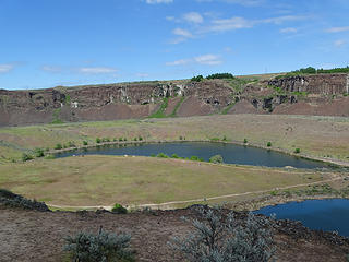 Views from lunch spot. 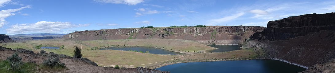 Pano from lunch spot. 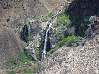 Views from lunch spot. 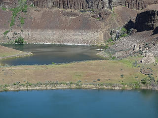 Views from lunch spot. 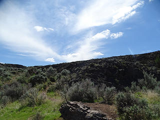 Views from lunch spot. 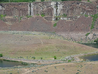 Views from lunch spot. 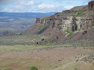 Views from lunch spot. 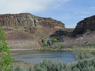 Heading back down. 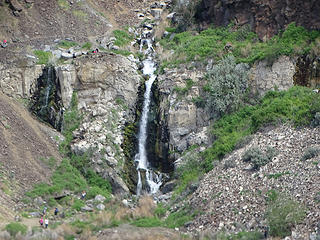 Heading back down. 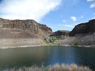 Heading back down. 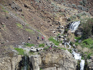 Heading back down. 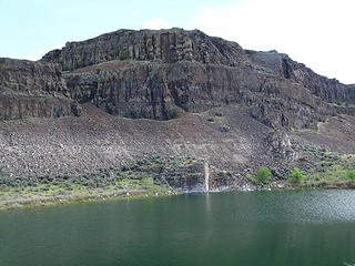 View across Ancient Lake. 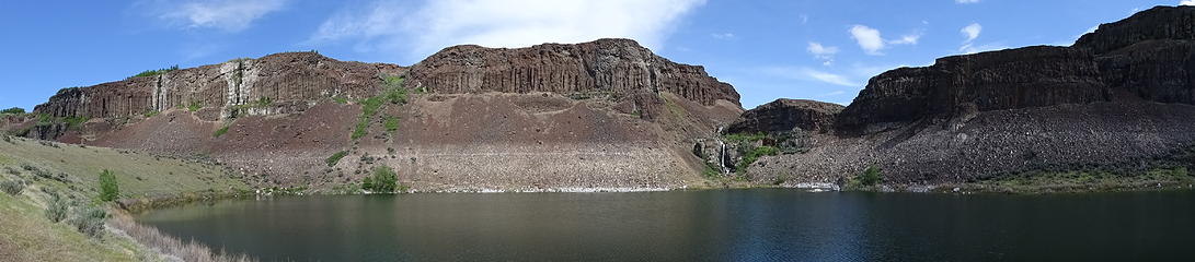 Pano across Ancient Lake. 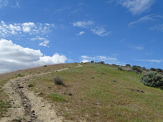 Heading up away from Ancient Lakes and back. 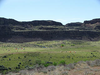 Heading up away from Ancient Lakes and back. 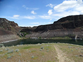 Heading up away from Ancient Lakes and back. 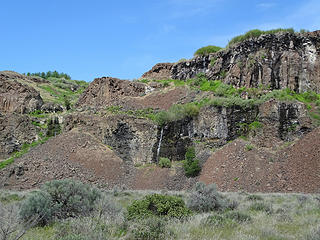 Waterfall views heading out. 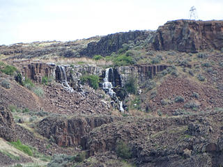 Waterfall views heading out. 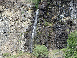 Waterfall views heading out. 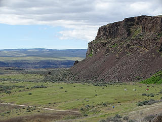 Heading out. 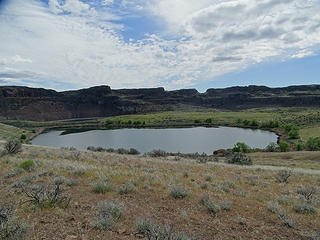 Heading out. 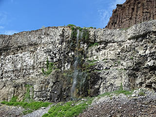 Heading out. 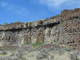 Heading out. 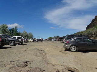 Back to parking lot.
|


