Mesahchie Mark
A Lerxst


Joined: 10 May 2005
Posts: 700 | TRs | Pics
Location: In Wonderland |
Party: Huron & Mesahchie Mark
Mode: BC Ski
Route: FR 6601 out of Plain (follow the power lines)
New year, new ski gear. Also, realization that I had not skied for almost 4 years! Time to fix that.
I picked up Huron (H) Saturday morning and we headed over the pass. Earlier thoughts of doing a resort day morphed into a backcountry ski idea. I suggested Natapoc, a top 100 peak (for peaks near Cole's Corner), primarily for the fact it is #119 on the Washington Prominence 2000 list, and it's relatively low elevation of 4214'. RichP's TR from last year was our guide.
By the way, it was COLD Saturday...temperature outside the car read 0°F while driving past Cle Elum! Fortunately, there seemed to be an inversion at work. By the time we got to Plain, it was probably close to 10°F.
Our trailhead was the access to FR 6601, approximately 1800'. To get there, drive from 11worth to Plain on Hwy 209. Once in Plain, cross the Wenatchee River and take the next left onto River Road. Follow it south 1.5 mi to the power lines (impossible to miss) and park. River Road was compact snow-and-ice, and so we had snow to start on.
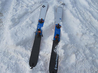 New Skis!!! 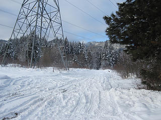 Under the Power Lines 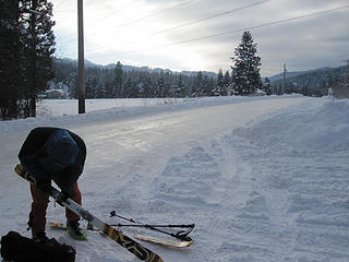 H Gets Ready 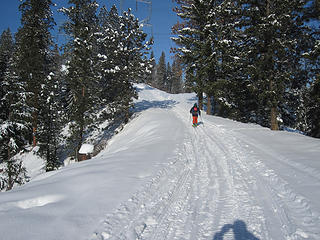 Begin the Skin 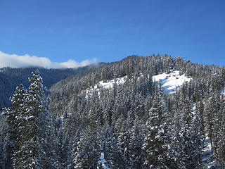 Natapoc 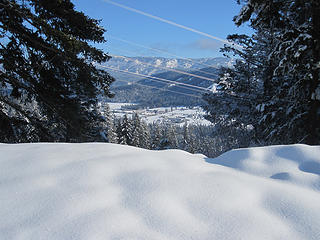 View of the Valley 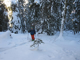 H Ascends 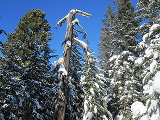 N Summit Trees 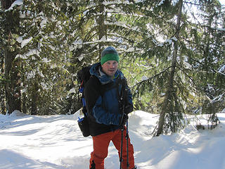 H North Summit 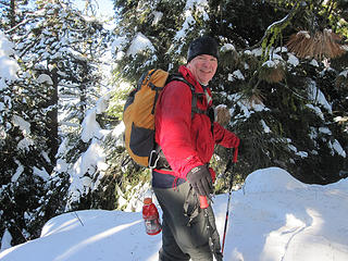 Mesahchie N Summit 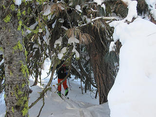 Off to the True Summit 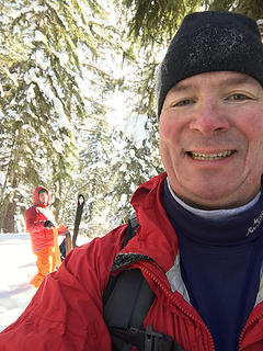 Natapoc Summit Selfie
|


 we'll fix the rest. HNY! N
