| Previous :: Next Topic |
| Author |
Message |
Nancyann
Member


Joined: 28 Jul 2013
Posts: 2322 | TRs | Pics
Location: Sultan Basin |
|
Nancyann
Member
|
 Sat Apr 22, 2017 12:48 am |
|
|
Coincidentally, the sun happened to be shining on the day Snohomish County PUD opened the South Shore Spada Road to the Greider Lakes trailhead.
Thanks for your efforts PUD! I talked to the watershed manager while stopping at Olney Pass, and he gave me some helpful information about trail conditions and creek crossings on the Greider Lakes roadwalk and trail. As expected, some of the creek crossings are somewhat challenging, but my new Zamberlan waterproof boots made fording easy, although several times the water was up to my knees.
In anticipation of a massive deluge of snowmelt, PUD has drawn Spada Lake down low.
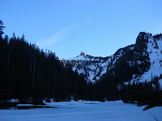
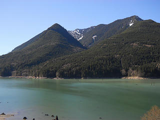 Spada Lake from the Greider Lakes Trail 4/21/17 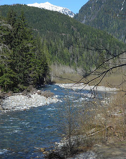 The Sultan River and Vesper Peak from the Greider Lakes Trail 4/21/17 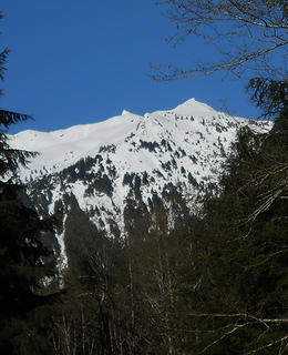 Vesper Peak 4/21/17 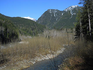 Elk Creek and Vesper Peak from the Greider Lakes Trail 4/21/17 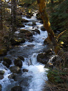 Greider Creek 4/21/17 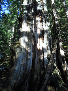 Along the Greider Lakes Trail 4/21/17 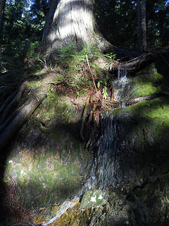 Along the Greider Lakes Trail 4/21/17 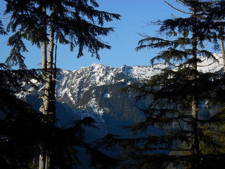 Big Four from Greider Lakes Trail 4/21/17 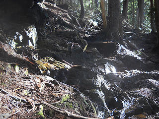 Trail conditions, Greider Lakes Trail 4/21/17 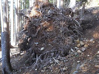 Trail conditions, Greider Lakes Trail 4/21/17 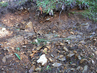 Trail conditions, Greider Lakes Trail 4/21/17 
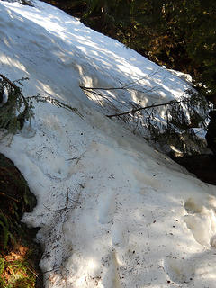 Snow on upper Greider Lakes Trail 4/21/17 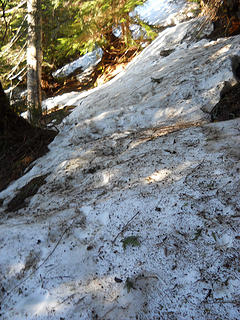 Snow on upper Greider Lakes Trail 4/21/17 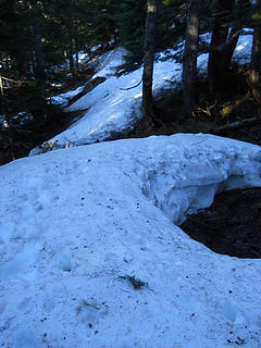 Snow on upper Greider Lakes Trail 4/21/17 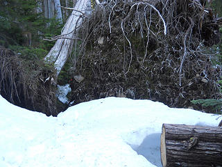 Snow on upper Greider Lakes Trail 4/21/17 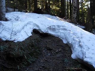 Snow on upper Greider Lakes Trail 4/21/17 
 Little Greider Lake 4/21/17 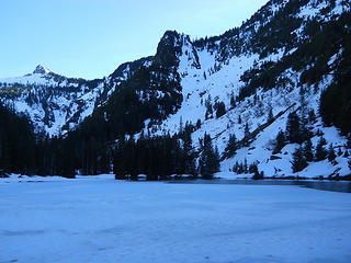 Little Greider Lake 4/21/17 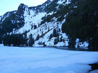 Little Greider Lake 4/21/17 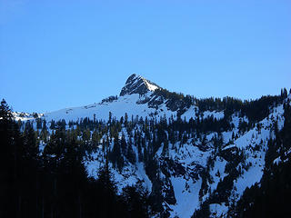 Greider Peak 4/21/17
|
| Back to top |
  
|
|
kitya
Fortune Cookie

Joined: 15 Mar 2010
Posts: 842 | TRs | Pics
Location: Duvall, WA |
|
kitya
Fortune Cookie
|
Sat Apr 22, 2017 9:38 am |
|
|
If I remember correctly there is long road walk from the end of the road to the actual trail. How was this road walk part?
|
| Back to top |
|
|
Nancyann
Member
Joined: 28 Jul 2013
Posts: 2322 | TRs | Pics
Location: Sultan Basin |
|
Nancyann
Member
|
Sat Apr 22, 2017 9:54 am |
|
|
The roadwalk is 1.9 miles to the actual trailhead and there are 15 berm or tank trap crossings where culverts were removed and creeks are flowing freely. There are two problematical crossings for those who don't want to get their feet wet. The first is a new beaver pond where the creek used to be and is a couple of feet deep. The ranger I talked to actually crossed on the beaver dam itself, but I just forded it. There is a good-sized creek about a half mile further, which is really raging right now. Water was up to my knees and the current was strong, so this could be difficult for dogs.The rocks had a layer of slime on them, making footing slippery. Definitely not safe for children until later in the season.😊
|
| Back to top |
|
|
puzzlr
Mid Fork Rocks

Joined: 13 Feb 2007
Posts: 7220 | TRs | Pics
Location: Stuck in the middle |
|
puzzlr
Mid Fork Rocks
|
Sun Apr 23, 2017 10:24 pm |
|
|
Thanks. I like seeing reports for this area. There always seems to be a cloud around access issues and maybe that keeps the number of visits low. Or maybe it's a trail the land owners are doing their best to ignore.
|
| Back to top |
|
|
|
|
You cannot post new topics in this forum
You cannot reply to topics in this forum
You cannot edit your posts in this forum
You cannot delete your posts in this forum
You cannot vote in polls in this forum
|
Disclosure: As an Amazon Associate NWHikers.net earns from qualifying purchases when you use our link(s). |


