Abert
Member


Joined: 02 Sep 2010
Posts: 588 | TRs | Pics
Location: Sequim |
|
Abert
Member
|
 Sun Apr 30, 2017 5:44 pm |
|
|
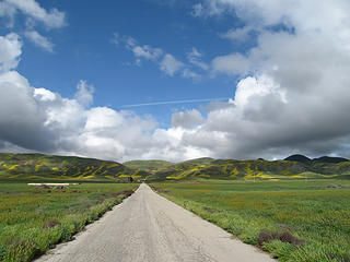
I made my way to Utah this spring through California apparently in order to share some of the very wet winter my native state was experiencing. Driving through a downpour on I-5 near Sacramento-4 lanes of traffic moving on the freeway at less than 40 mph with almost no visibility- provided me with the time to wonder why, but I persevered and made it to Carrizo Plain National Monument to find clearing skies. Carrizo Plain is about a fifty mile long valley west of California's Central Valley, maybe most famous for having the San Andreas fault running through it. Spring flowers were in full bloom to make some lovely scenery and I found a good dirt road heading into its western foothills for a quiet car camp and a loop hike the next day. I then made the mistake of underestimating the chance of rain and spent another night above the valley. This gave me the opportunity to prove that the foothill roads were not impassible after rain, just almost impassible. Sliding back down to the valley floor the next morning I drove to the trail head for Caliente Mountain, a 17 mile road walk to the monument high point. The walking was brutal at the start, literally pounds of mud on my feet, but happily things dried and became less sticky as the afternoon wore on. I did have to buy a new pair of shoes the next morning in San Luis Obispo to feel like I was meeting even the fairly minimal appearance standards expected of me before meeting friends and family in Santa Barbara. Carrizo Plain Photos
 041 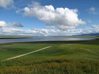 052 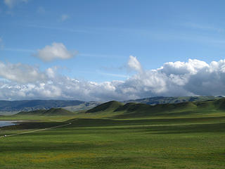 055 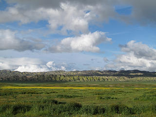 063 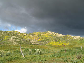 068 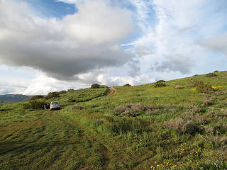 078 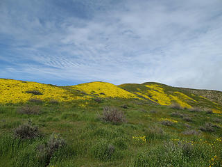 104 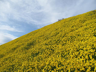 106 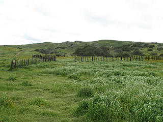 136 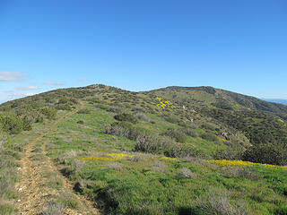 Caliente Mountain Road 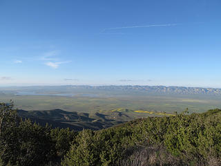 194 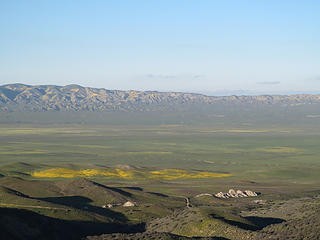 197
|


